Greenville is the county seat of and the most populous city in Pitt County, North Carolina, United States; the principal city of the Greenville metropolitan area; and the 12th-most populous city in North Carolina. Greenville is the health, entertainment, and educational hub of North Carolina’s Tidewater and Coastal Plain. As of the 2020 census, there ... Read more
North Carolina Cities and Places
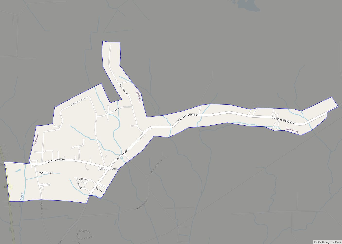
Greenevers is a town in Duplin County, North Carolina, United States. The population was 634 at the 2010 census. Greenevers town overview: Name: Greenevers town LSAD Code: 43 LSAD Description: town (suffix) State: North Carolina County: Duplin County Elevation: 59 ft (18 m) Total Area: 1.59 sq mi (4.11 km²) Land Area: 1.59 sq mi (4.11 km²) Water Area: 0.00 sq mi (0.00 km²) Total Population: ... Read more
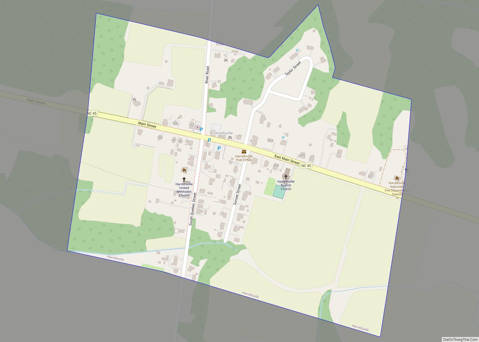
Harrellsville is a town in Hertford County, North Carolina, United States. The population was 106 at the 2010 census. Harrellsville town overview: Name: Harrellsville town LSAD Code: 43 LSAD Description: town (suffix) State: North Carolina County: Hertford County Elevation: 66 ft (20 m) Total Area: 0.29 sq mi (0.75 km²) Land Area: 0.29 sq mi (0.75 km²) Water Area: 0.00 sq mi (0.00 km²) Total Population: ... Read more
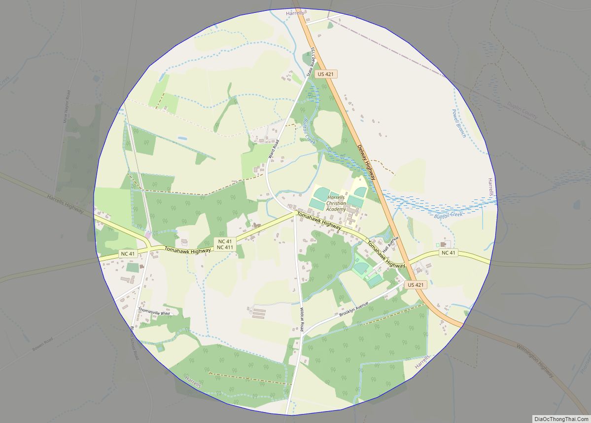
Harrells is a town in Sampson and Duplin counties, North Carolina, United States. The population was 202 at the 2010 census. Harrells town overview: Name: Harrells town LSAD Code: 43 LSAD Description: town (suffix) State: North Carolina County: Duplin County, Sampson County Elevation: 85 ft (26 m) Total Area: 3.15 sq mi (8.15 km²) Land Area: 3.15 sq mi (8.15 km²) Water Area: ... Read more
Harmony is a town in Iredell County, North Carolina, United States. The town was incorporated in 1927 and is located in northeastern Iredell County and lies in the eastern portion of the North Carolina High Country. It is primarily located in Turnersburg Township, with its northernmost portion in Eagle Mills Township. The population was 531 ... Read more
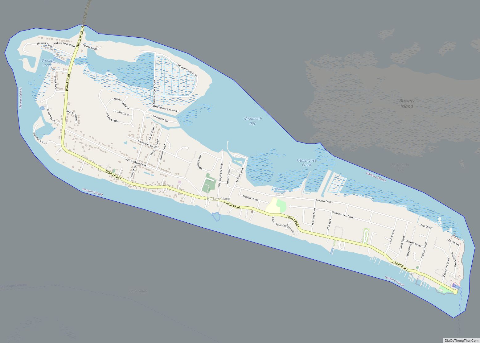
Harkers Island is a census-designated place (CDP) in Carteret County, North Carolina, United States. The population of Harkers Island was 1,207 at the 2010 census. Harkers Island is unincorporated and receives most public services, including law enforcement and public education, from Carteret County. A membership cooperative provides the island with electric and water services. Major ... Read more
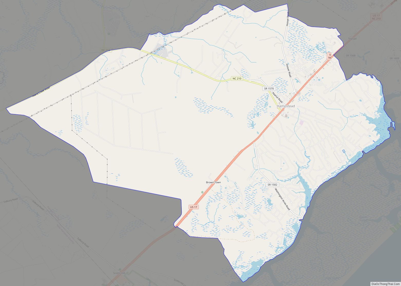
Hampstead is an unincorporated community and census-designated place (CDP) in Pender County, North Carolina, United States. It is located between Wilmington and Jacksonville on U.S. Route 17 and comprises an area sized just over 20 square miles. Hampstead is part of the Wilmington Metropolitan Statistical Area. Hampstead CDP overview: Name: Hampstead CDP LSAD Code: 57 ... Read more
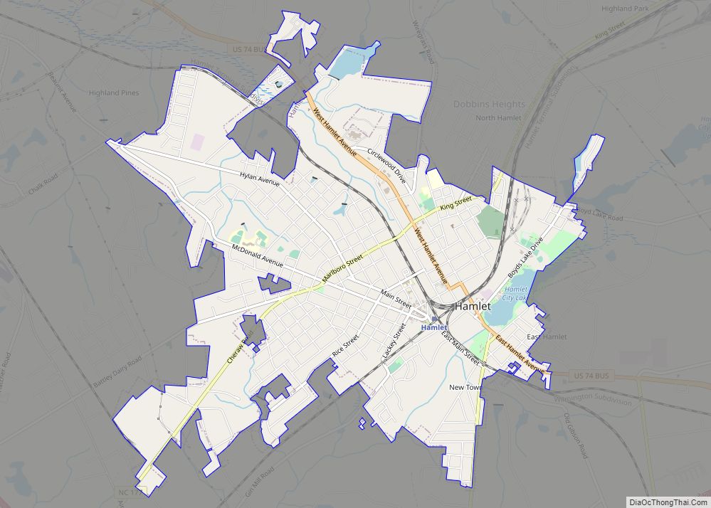
Hamlet is a city in Richmond County, North Carolina, United States. The population was 6,042 at the 2020 census. Hamlet city overview: Name: Hamlet city LSAD Code: 25 LSAD Description: city (suffix) State: North Carolina County: Richmond County Incorporated: February 9, 1897 Elevation: 299 ft (91 m) Total Area: 5.35 sq mi (13.87 km²) Land Area: 5.27 sq mi (13.64 km²) Water Area: ... Read more
Hamilton is a town in Martin County, North Carolina, United States. The population was 408 at the 2010 census. Hamilton town overview: Name: Hamilton town LSAD Code: 43 LSAD Description: town (suffix) State: North Carolina County: Martin County Elevation: 72 ft (22 m) Total Area: 0.49 sq mi (1.28 km²) Land Area: 0.49 sq mi (1.28 km²) Water Area: 0.00 sq mi (0.00 km²) Total Population: ... Read more
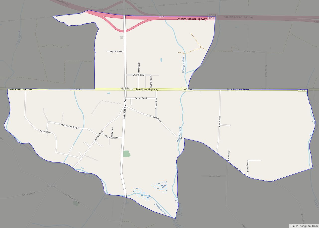
Hallsboro is an unincorporated community and census-designated place (CDP) in Columbus County, in southeastern North Carolina, United States. As of the 2010 census it had a population of 465. Hallsboro CDP overview: Name: Hallsboro CDP LSAD Code: 57 LSAD Description: CDP (suffix) State: North Carolina County: Columbus County Elevation: 66 ft (20 m) Total Area: 3.28 sq mi (8.49 km²) ... Read more
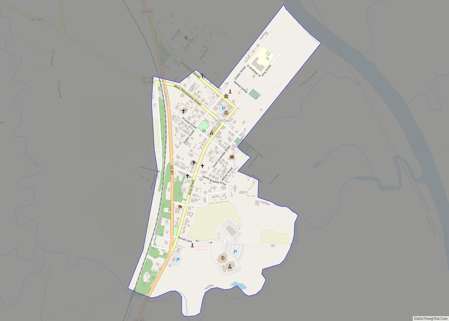
Halifax is a town in Halifax County, North Carolina, United States. The population was 234 at the 2010 census. It is the county seat of Halifax County. It is known as “The Birthplace of Freedom” for being the location for the April 12, 1776, adoption of the Halifax Resolves, which was the first official action ... Read more
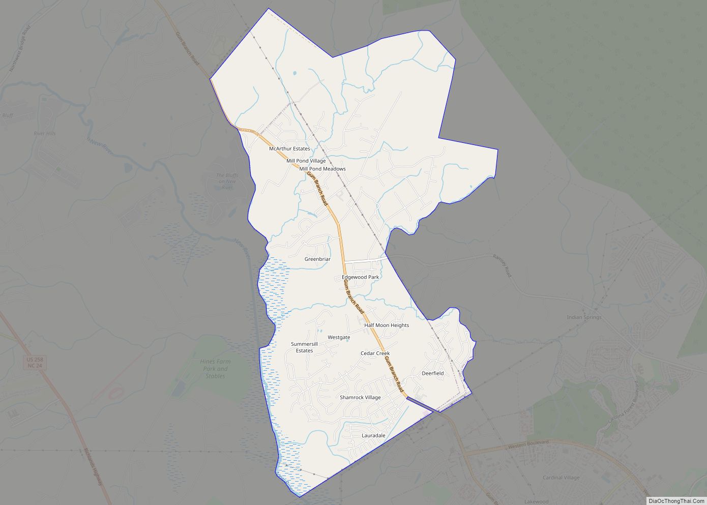
Half Moon is a census-designated place (CDP) in Onslow County, North Carolina, United States. The population was 6,645 at the 2000 census. It is part of the Jacksonville, North Carolina Metropolitan Statistical Area. Half Moon CDP overview: Name: Half Moon CDP LSAD Code: 57 LSAD Description: CDP (suffix) State: North Carolina County: Onslow County Elevation: ... Read more

