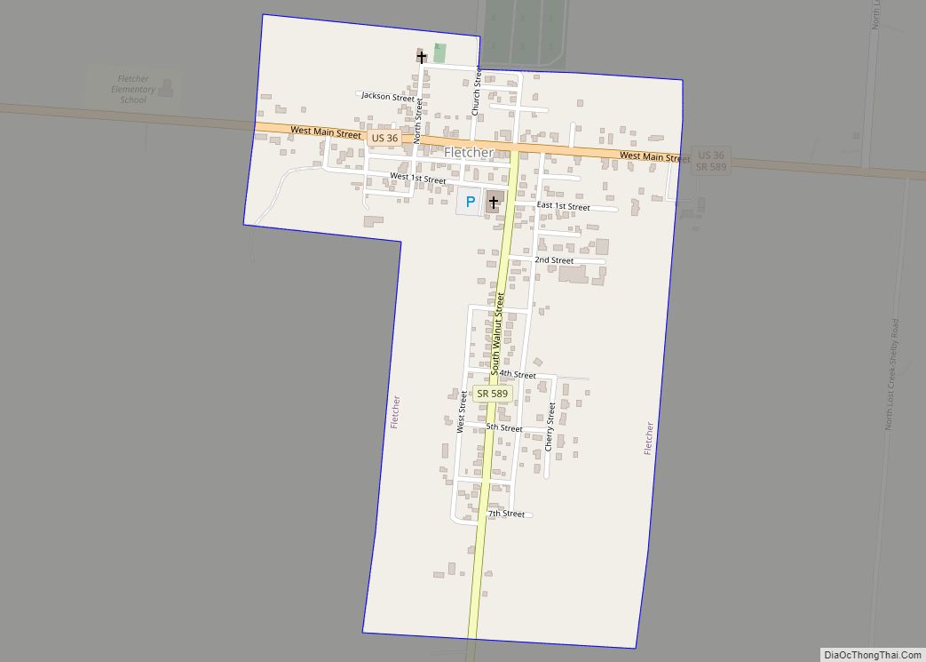
Fletcher is a village in Miami County, Ohio, United States. The population was 473 at the 2010 census. It is part of the Dayton Metropolitan Statistical Area. Fletcher village overview: Name: Fletcher village LSAD Code: 47 LSAD Description: village (suffix) State: Ohio County: Miami County Elevation: 1,043 ft (318 m) Total Area: 0.31 sq mi (0.80 km²) Land Area: 0.31 sq mi ... Read more
Ohio Cities and Places
Flat Rock is a census-designated place in northeastern Thompson Township, Seneca County, Ohio, United States. It has a post office with the ZIP code 44828. Flat Rock CDP overview: Name: Flat Rock CDP LSAD Code: 57 LSAD Description: CDP (suffix) State: Ohio County: Seneca County Total Area: 0.21 sq mi (0.55 km²) Land Area: 0.21 sq mi (0.55 km²) Water Area: ... Read more
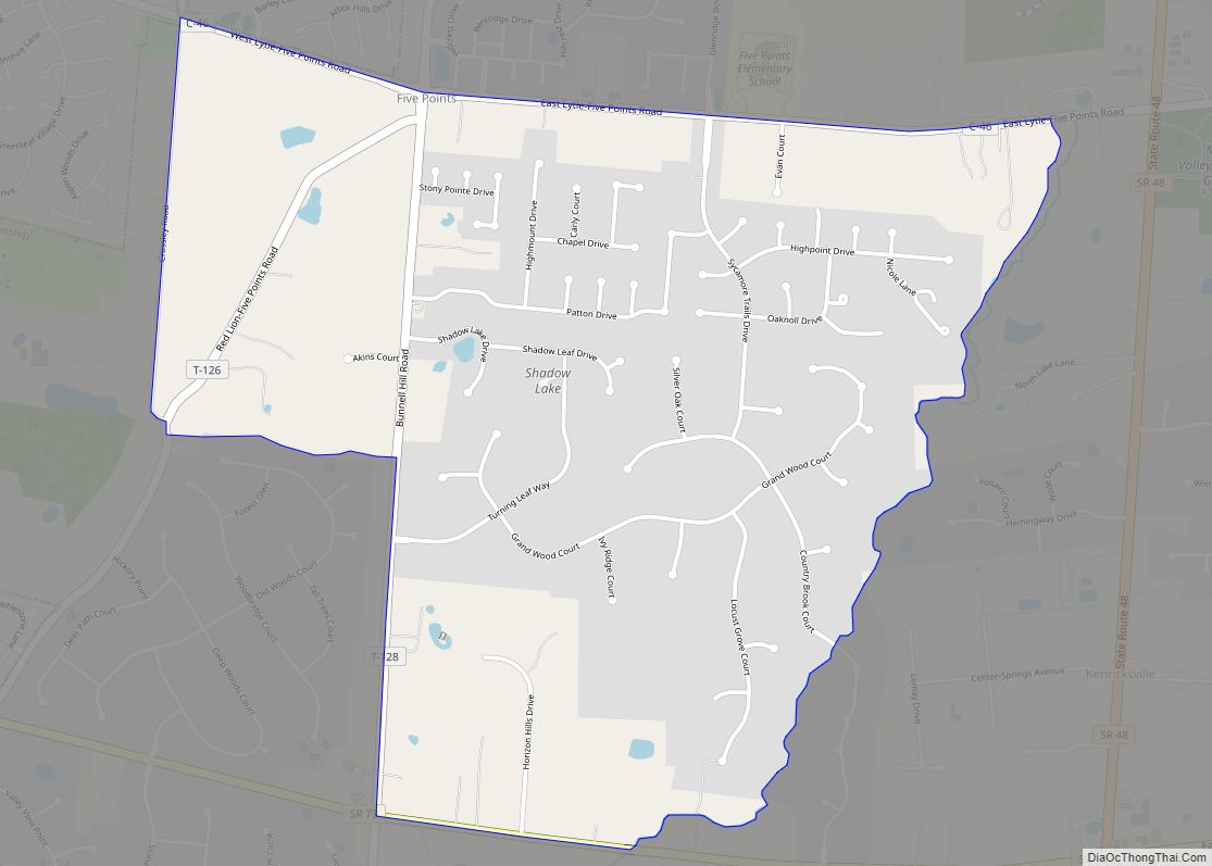
Five Points is a census-designated place (CDP) in Clearcreek Township, Warren County, Ohio, United States. The population was 2,247 at the 2020 census. Five Points was named for the five-way crossroads at the center of the original town site. Five Points CDP overview: Name: Five Points CDP LSAD Code: 57 LSAD Description: CDP (suffix) State: ... Read more
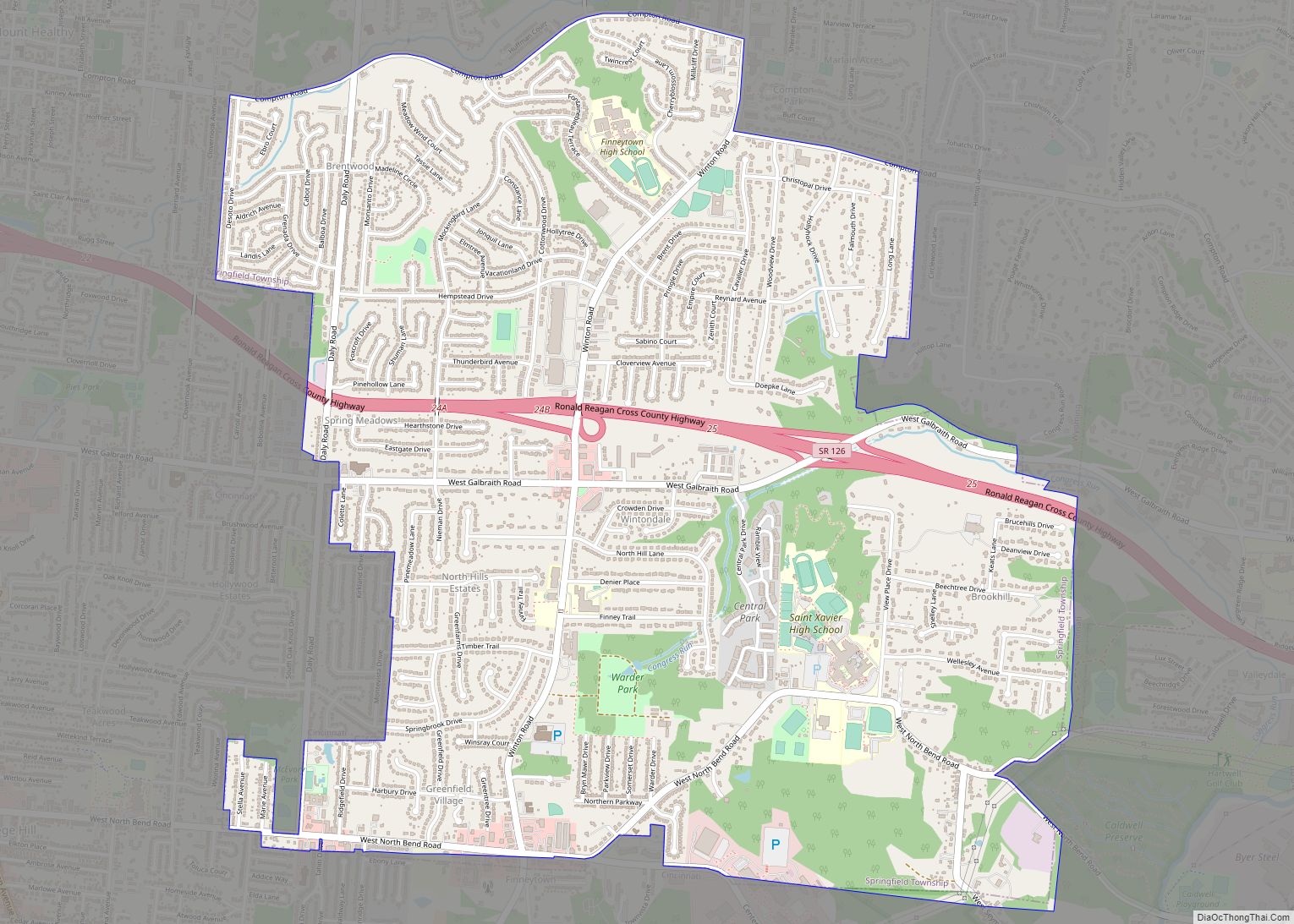
Finneytown is a census-designated place (CDP) in Springfield Township, Hamilton County, in southwest Ohio, United States, just north of Cincinnati. The population was 12,399 at the 2020 census. Finneytown is home to the largest private school in Ohio (St. Xavier High School) and the Cincinnati area’s annual Greek Festival (at Holy Trinity-St. Nicholas Greek Orthodox ... Read more
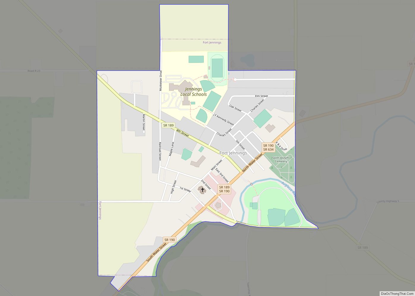
Fort Jennings is a village in the southwestern corner of Putnam County, Ohio, United States. The population was 485 at the 2010 census. Fort Jennings village overview: Name: Fort Jennings village LSAD Code: 47 LSAD Description: village (suffix) State: Ohio County: Putnam County Elevation: 745 ft (227 m) Total Area: 0.57 sq mi (1.47 km²) Land Area: 0.56 sq mi (1.46 km²) Water ... Read more
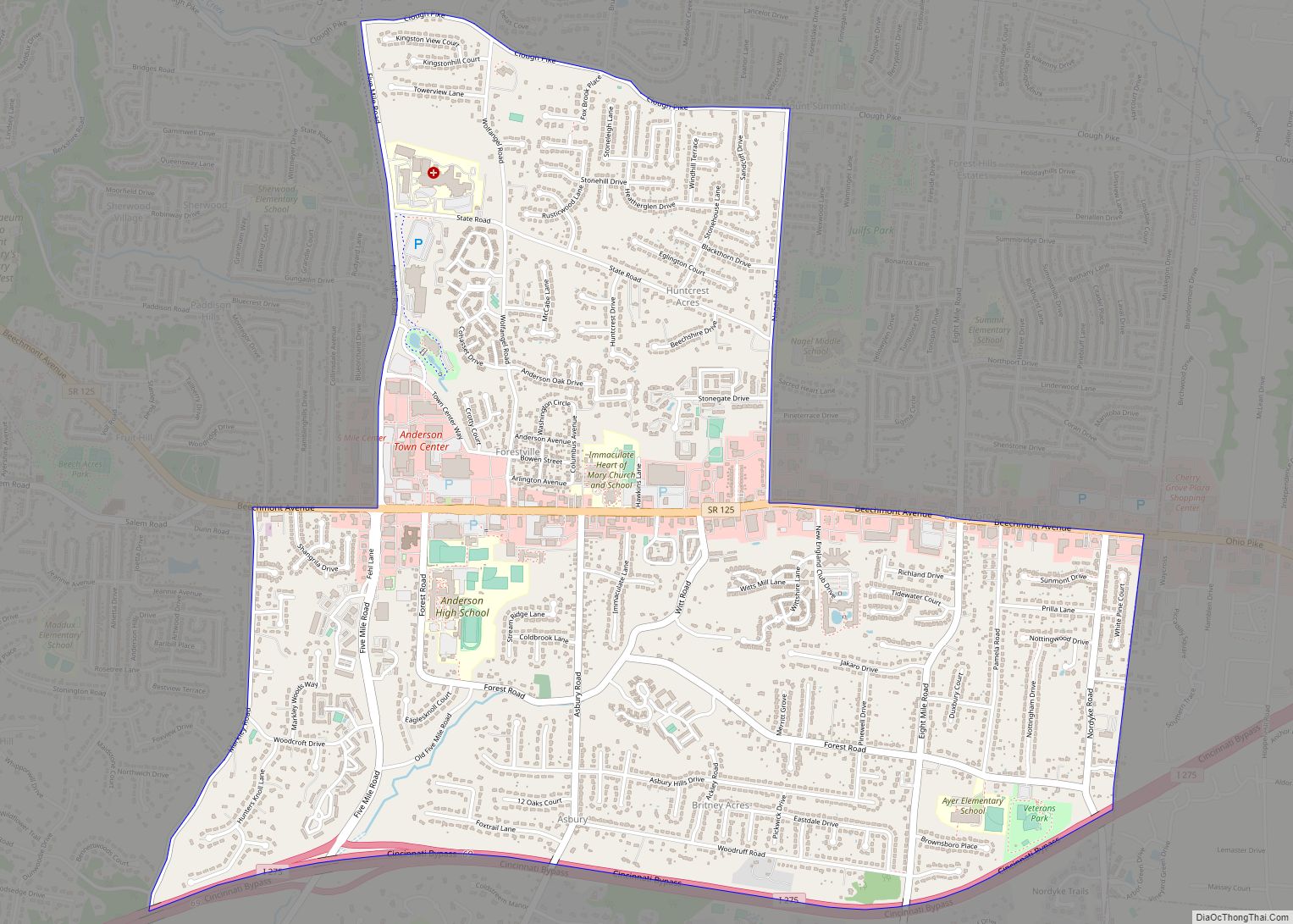
Forestville is a census-designated place (CDP) in Hamilton County, Ohio, United States. The population was 10,615 at the 2020 census. Forestville CDP overview: Name: Forestville CDP LSAD Code: 57 LSAD Description: CDP (suffix) State: Ohio County: Hamilton County Elevation: 820 ft (250 m) Total Area: 3.70 sq mi (9.58 km²) Land Area: 3.70 sq mi (9.58 km²) Water Area: 0.00 sq mi (0.00 km²) Total Population: ... Read more
Forest is a village in Hardin and Wyandot counties in the U.S. state of Ohio. The population was 1,461 at the 2010 census. Forest village overview: Name: Forest village LSAD Code: 47 LSAD Description: village (suffix) State: Ohio County: Hardin County, Wyandot County Elevation: 932 ft (284 m) Total Area: 1.44 sq mi (3.74 km²) Land Area: 1.44 sq mi (3.74 km²) Water ... Read more
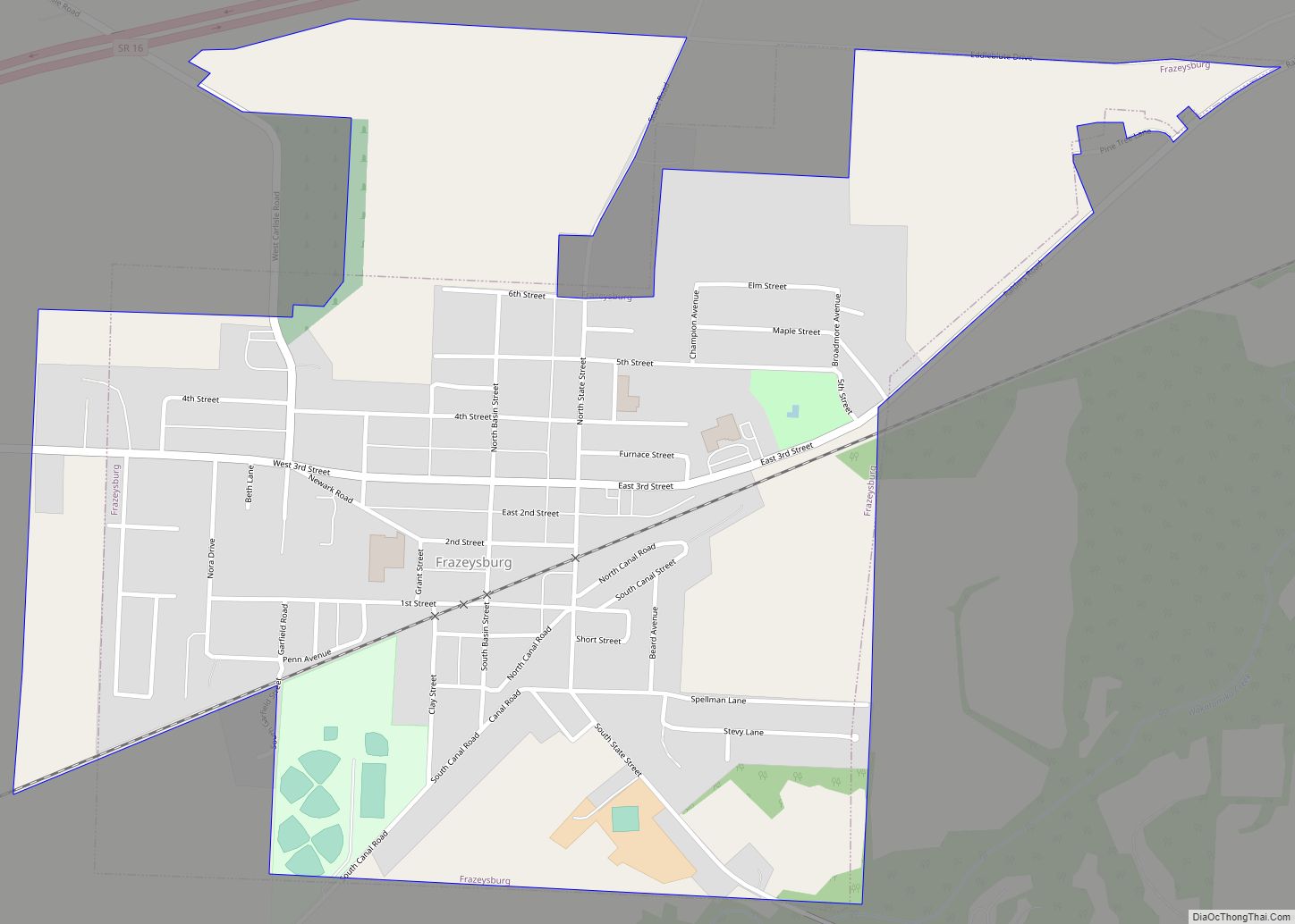
Frazeysburg is a village in Muskingum County, Ohio, United States, along Wakatomika Creek. The population was 1,354 at the 2020 census. It is part of the Zanesville micropolitan area. Frazeysburg is home to the world’s largest apple basket, which is located on the Longaberger homestead. Frazeysburg village overview: Name: Frazeysburg village LSAD Code: 47 LSAD ... Read more
Franklin is a city in Warren County, Ohio, United States, along the Great Miami River. The population was 11,690 at the 2020 census. The city lies about 15 miles (24 km) southwest of Dayton and 33.5 miles (53.9 km) northeast of Cincinnati. Ohio State Routes 73, 123 and 741 pass through Franklin, while Interstate 75 passes on ... Read more
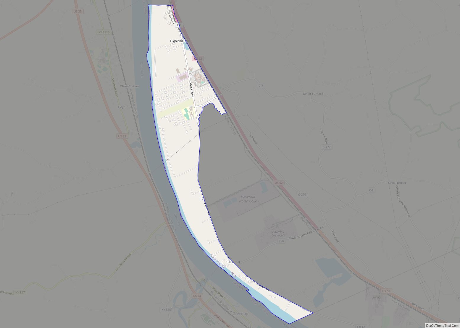
Franklin Furnace is a census-designated place (CDP) in Scioto County, Ohio, United States, along the Ohio River. The population was 1,660 at the 2010 census. Franklin Furnace’s post office has the ZIP code of 45629. Franklin Furnace CDP overview: Name: Franklin Furnace CDP LSAD Code: 57 LSAD Description: CDP (suffix) State: Ohio County: Scioto County ... Read more
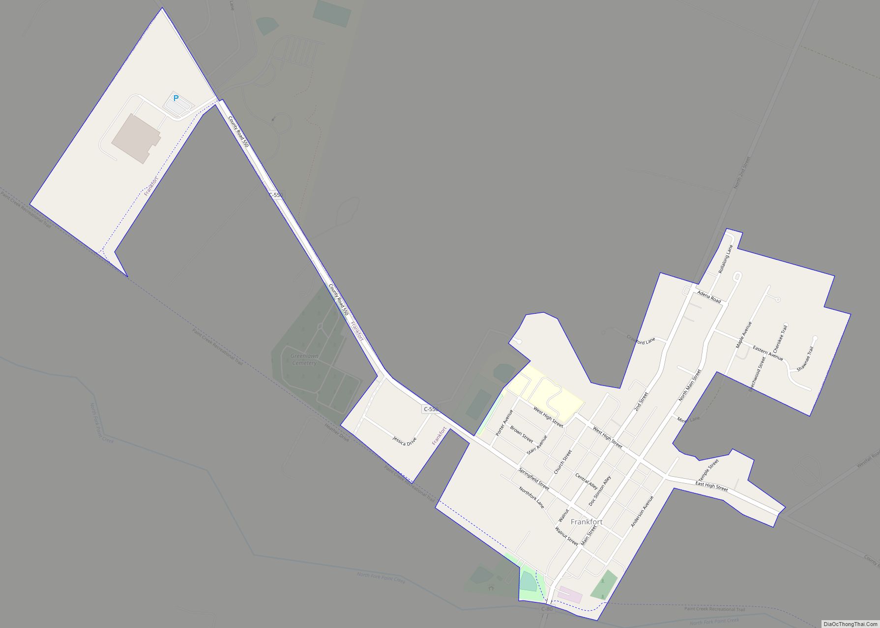
Frankfort is a village in Ross County, Ohio, United States, along the North Fork of Paint Creek. The village is located in Concord Township. The population was 1,064 at the 2010 census. Frankfort village overview: Name: Frankfort village LSAD Code: 47 LSAD Description: village (suffix) State: Ohio County: Ross County Elevation: 738 ft (225 m) Total Area: ... Read more
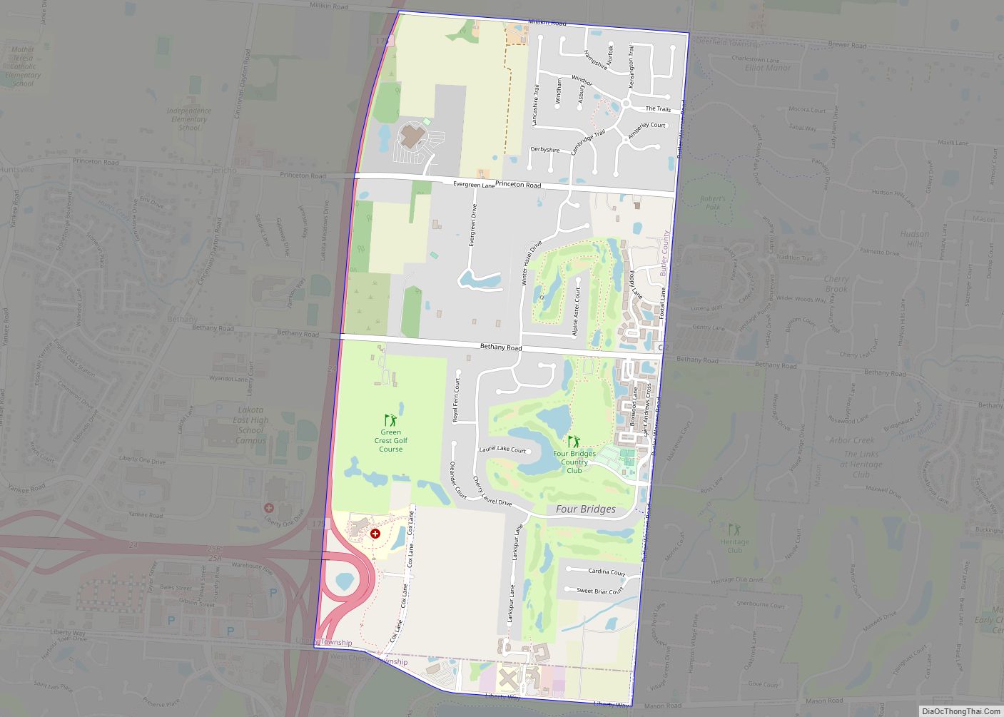
Four Bridges is a census-designated place (CDP) in Liberty Township, Butler County, Ohio, United States. The population was 2,919 at the 2010 census. Four Bridges CDP overview: Name: Four Bridges CDP LSAD Code: 57 LSAD Description: CDP (suffix) State: Ohio County: Butler County Elevation: 850 ft (260 m) Total Area: 2.20 sq mi (5.69 km²) Land Area: 2.19 sq mi (5.68 km²) Water ... Read more
