Map of La Rue village
LaRue is a village in Marion County, Ohio, United States. The population was 747 at the 2010 census. The village is served by Elgin Local School District. LaRue has a public library, a branch of Marion Public Library. La Rue village overview: Name: La Rue village LSAD Code: 47 LSAD Description: village (suffix) State: Ohio ... Read more
Map of La Rue village
Map of La Croft CDP
La Croft is an unincorporated community and census-designated place (CDP) in Liverpool Township, Columbiana County, Ohio, United States. The population was 1,078 at the 2020 census. La Croft is located in the Salem micropolitan area and the greater Youngstown–Warren area. La Croft CDP overview: Name: La Croft CDP LSAD Code: 57 LSAD Description: CDP (suffix) ... Read more
Map of La Croft CDP
Map of Kunkle CDP
Kunkle is a census-designated place in southeastern Madison Township, Williams County, Ohio, United States. It is located approximately 60 miles (97 km) west of Toledo. It has a post office with the ZIP code 43531. It is located along Williams County Road 17, just south of Williams County Road O. Kunkle was not officially platted. A ... Read more
Map of Kunkle CDP
Map of Kirtland city, Ohio
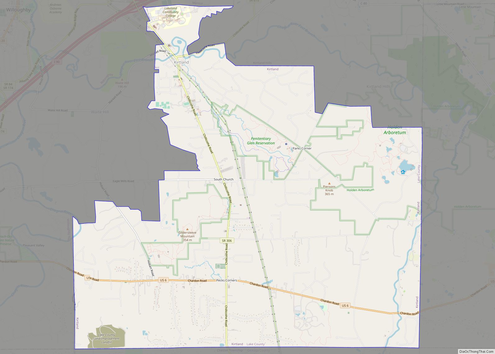
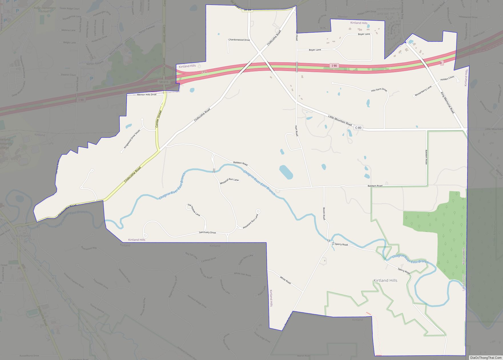
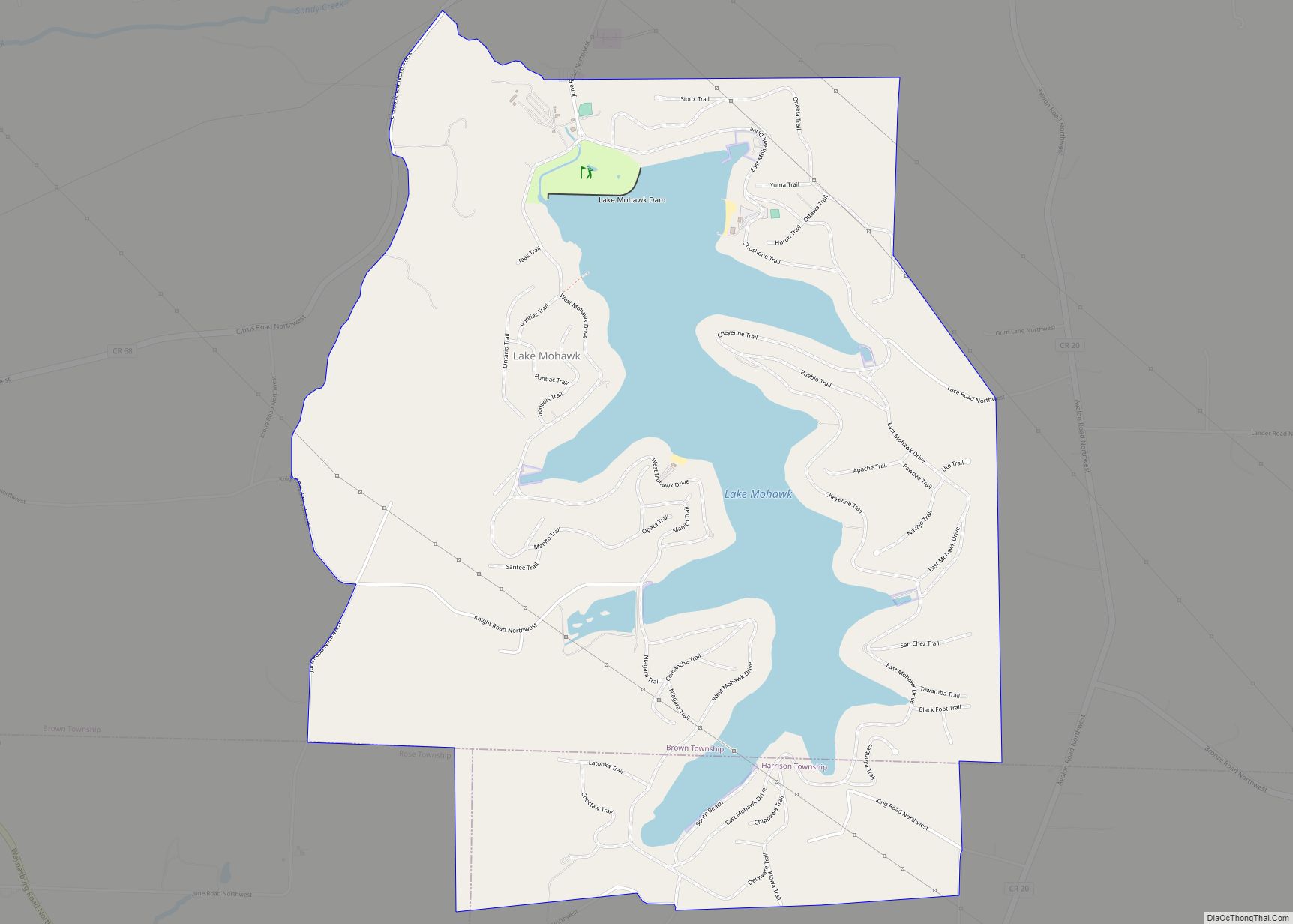
Kirtland is a city in Lake County, Ohio, United States. The population was 6,937 at the 2020 census. Kirtland is known for being the early headquarters of the Latter Day Saint movement from 1831 to 1837 and is the site of the movement’s first temple, the Kirtland Temple, completed in 1836. The city is also ... Read more
Map of Kirtland city, Ohio
Map of Kirtland Hills village
Kirtland Hills is a village in Lake County, Ohio, United States and a rural suburb of Cleveland. The population was 692 at the 2020 census. Kirtland Hills village overview: Name: Kirtland Hills village LSAD Code: 47 LSAD Description: village (suffix) State: Ohio County: Lake County Elevation: 801 ft (244 m) Total Area: 5.65 sq mi (14.63 km²) Land Area: 5.57 sq mi ... Read more
Map of Kirtland Hills village
Map of Kirkersville village
Kirkersville is a village in Licking County, Ohio, United States, along the South Fork of the Licking River. The population was 525 at the 2010 census. Kirkersville was platted in 1832 by Dr. William C. Kirker, and named for him. Kirkersville village overview: Name: Kirkersville village LSAD Code: 47 LSAD Description: village (suffix) State: Ohio ... Read more
Map of Kirkersville village
Map of Kirby village, Ohio
Kirby is a village in Wyandot County, Ohio, United States. The population was 110 at 2019. Kirby village overview: Name: Kirby village LSAD Code: 47 LSAD Description: village (suffix) State: Ohio County: Wyandot County Elevation: 876 ft (267 m) Total Area: 0.11 sq mi (0.28 km²) Land Area: 0.11 sq mi (0.28 km²) Water Area: 0.00 sq mi (0.00 km²) Total Population: 120 Population Density: 1,111.11/sq mi ... Read more
Map of Kirby village, Ohio
Map of Lake Mohawk CDP, Ohio
Lake Mohawk is a census-designated place (CDP) in Brown and Harrison townships of Carroll County, Ohio, United States, developed around Lake Mohawk, a reservoir. The population of the CDP was 1,652 as of the 2010 census. Lake Mohawk CDP overview: Name: Lake Mohawk CDP LSAD Code: 57 LSAD Description: CDP (suffix) State: Ohio County: Carroll ... Read more
Map of Lake Mohawk CDP, Ohio
Map of Lake Milton CDP
Lake Milton is a census-designated place in central Milton Township, Mahoning County, Ohio, United States. The population was 637 at the 2020 census. Located in northwestern Mahoning County, it sits along the shore of the Lake Milton reservoir, along with the village of Craig Beach. It is part of the Youngstown–Warren metropolitan area. Lake Milton ... Read more
Map of Lake Milton CDP
Map of Lake Lorelei CDP
Lake Lorelei is a gated community and census-designated place in Brown County, Ohio, United States, near the village of Fayetteville. As of the 2010 census, it had a population of 1,170. Lake Lorelei CDP overview: Name: Lake Lorelei CDP LSAD Code: 57 LSAD Description: CDP (suffix) State: Ohio County: Brown County Elevation: 925 ft (282 m) Total ... Read more
Map of Lake Lorelei CDP
Map of Lake Lakengren CDP
Lake Lakengren (lock-n-grin, a Viking name meaning “Lake of the emerald green hills”) is an unincorporated community and census-designated place in Gasper Township, Preble County, Ohio, United States. The population was 3,387 at the 2020 census. A private planned community located 3 miles (4.8 km) southwest of Eaton, the northern portion of Lake Lakengren is served ... Read more
Map of Lake Lakengren CDP
Map of Lake Darby CDP
Lake Darby is an unincorporated community and census-designated place in Franklin County, Ohio, United States, located mostly in Prairie Township and partly in Brown Township. It is more commonly known among locals as Darby Estates, which is also the name of the older housing development there, with the newer development called “West Point”. As of ... Read more
Map of Lake Darby CDP