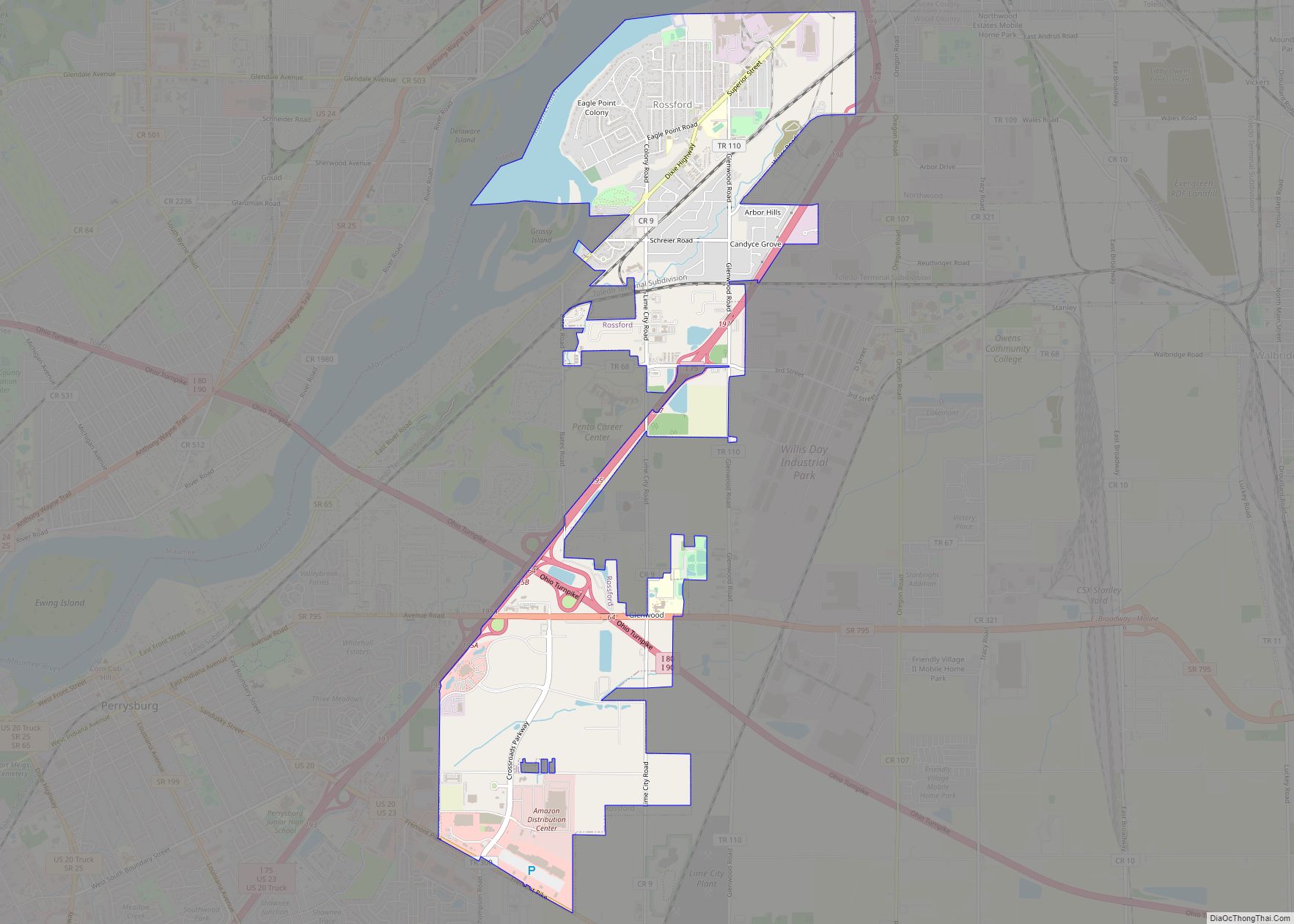
Rossford is a city in Wood County, Ohio, United States, located along the Maumee River in the Toledo metropolitan area. The population was 6,293 at the 2010 census. The town includes the intersection of Interstate 75 and the Ohio Turnpike. Rossford Public Library and WPAY serve the community. Rossford was founded as a company town ... Read more
Ohio Cities and Places
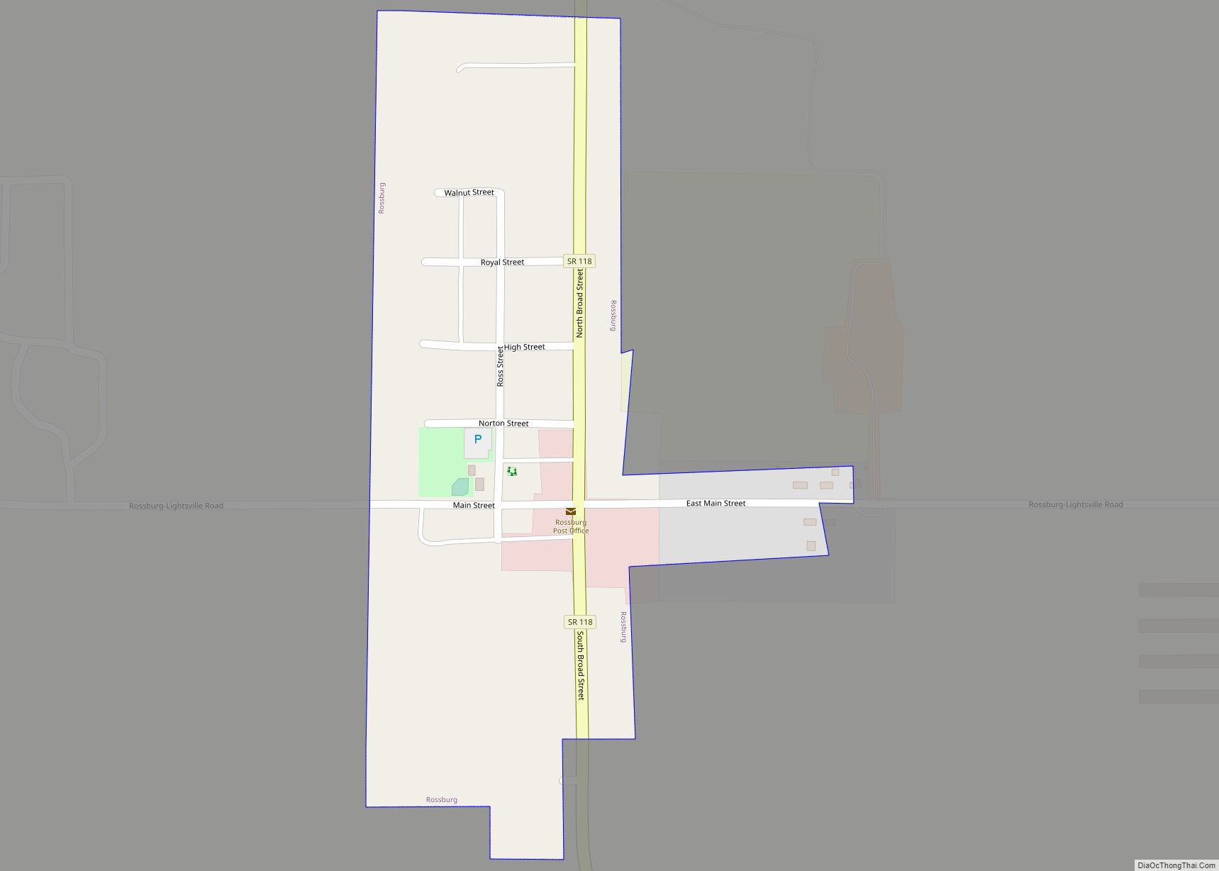
Rossburg is a village in Darke County, Ohio, United States. The population was 201 at the 2010 census. Rossburg village overview: Name: Rossburg village LSAD Code: 47 LSAD Description: village (suffix) State: Ohio County: Darke County Elevation: 1,030 ft (310 m) Total Area: 0.14 sq mi (0.36 km²) Land Area: 0.14 sq mi (0.36 km²) Water Area: 0.00 sq mi (0.00 km²) Total Population: 159 Population ... Read more
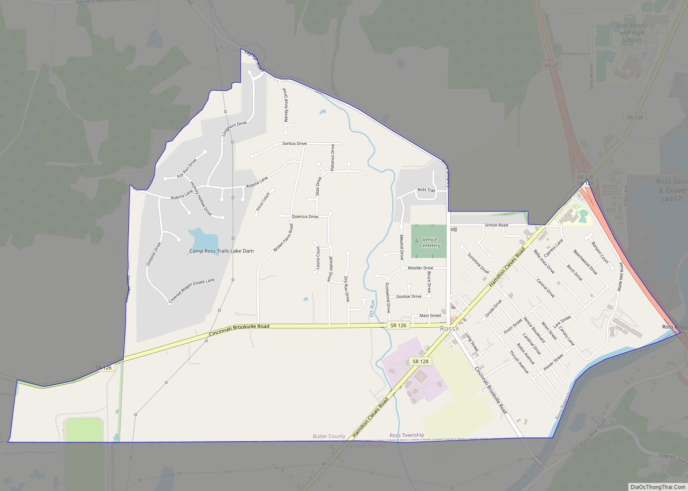
Ross is a census-designated place (CDP) in Ross Township, Butler County, Ohio, United States. The population was 3,417 at the 2010 census. Ross sits along U.S. Route 27 between Cincinnati, Ohio and Oxford, Ohio. Ross is part of the Cincinnati metropolitan area. Ross CDP overview: Name: Ross CDP LSAD Code: 57 LSAD Description: CDP (suffix) ... Read more
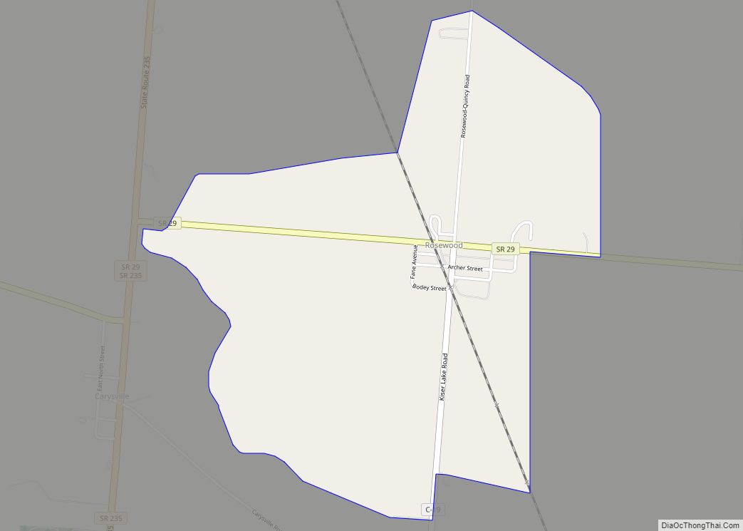
Rosewood is an unincorporated community and census-designated place (CDP) in northwestern Adams Township, Champaign County, Ohio, United States. As of the 2020 census it had a population of 224. It has a post office with the ZIP code 43070. It lies along State Route 29, an east–west highway. Rosewood was laid out and platted in ... Read more
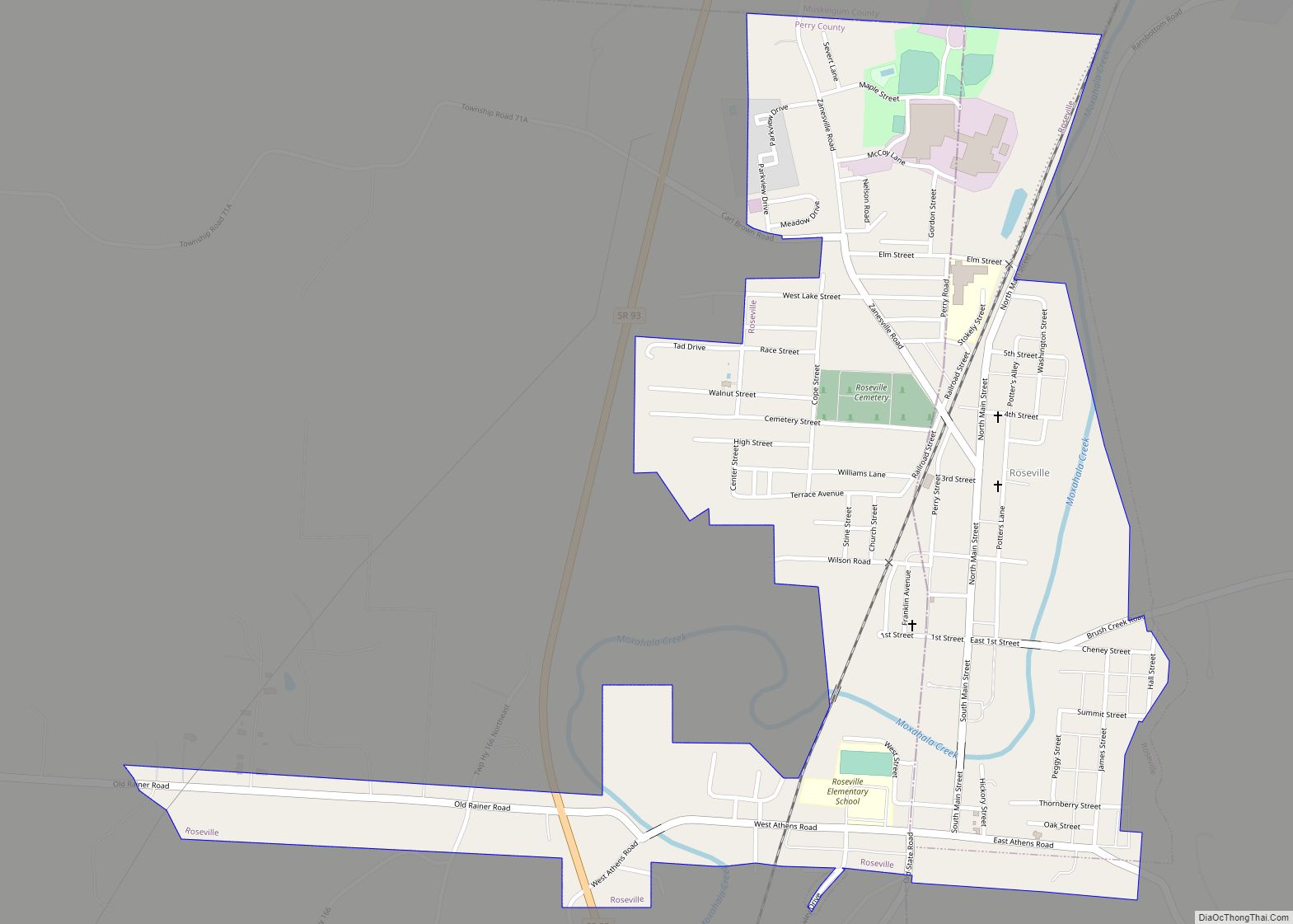
Roseville is a village in Muskingum and Perry counties in the U.S. state of Ohio, along Moxahala Creek. The population was 1,746 at the 2020 census. It is part of the Zanesville micropolitan area. Roseville is served by a branch of the Muskingum County Library System. Roseville village overview: Name: Roseville village LSAD Code: 47 ... Read more
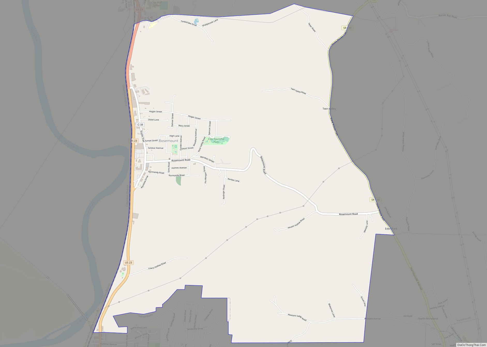
Rosemount is a census-designated place (CDP) in Clay Township, Scioto County, Ohio, United States. The population was 2,112 at the 2010 census. Rosemount CDP overview: Name: Rosemount CDP LSAD Code: 57 LSAD Description: CDP (suffix) State: Ohio County: Scioto County Elevation: 607 ft (185 m) Total Area: 5.75 sq mi (14.90 km²) Land Area: 5.75 sq mi (14.89 km²) Water Area: 0.00 sq mi (0.01 km²) ... Read more
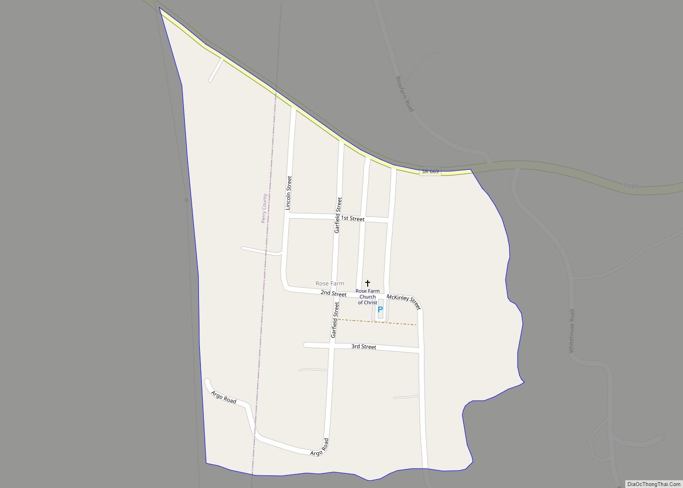
Rose Farm is an unincorporated community and census-designated place (CDP) in southwestern York Township, Morgan County, and southeastern Harrison Township, Perry County, Ohio, United States. It lies along State Route 669 at its intersection with McKinley Street. Ogg Creek, which meets the Moxahala Creek just north of Rose Farm, runs through the community. It is ... Read more
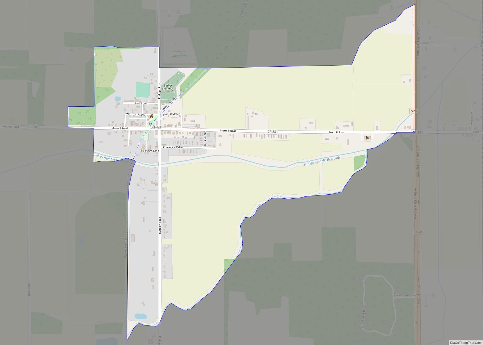
Rudolph is an unincorporated community and census-designated place (CDP) in eastern Liberty Township, Wood County, Ohio, United States. As of the 2010 census, it had a population of 458. It has a post office with the ZIP code 43462. Rudolph CDP overview: Name: Rudolph CDP LSAD Code: 57 LSAD Description: CDP (suffix) State: Ohio County: ... Read more
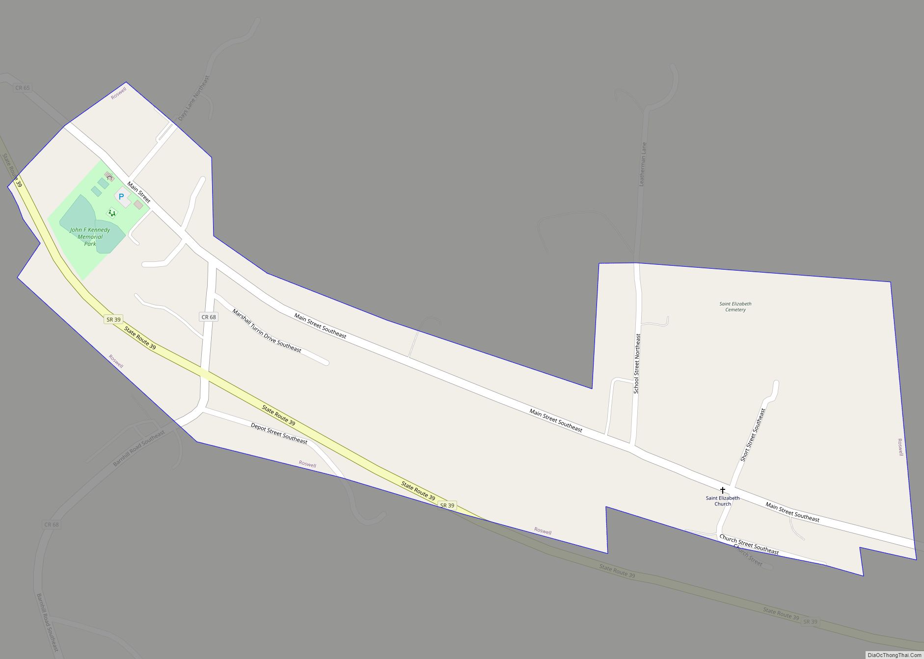
Roswell is a village in Tuscarawas County, Ohio, United States. The population was 219 at the 2010 census. Roswell village overview: Name: Roswell village LSAD Code: 47 LSAD Description: village (suffix) State: Ohio County: Tuscarawas County Elevation: 945 ft (288 m) Total Area: 0.28 sq mi (0.72 km²) Land Area: 0.28 sq mi (0.72 km²) Water Area: 0.00 sq mi (0.00 km²) Total Population: 219 Population ... Read more
Salesville is a census-designated place and former village in Guernsey County, Ohio, United States. As of the 2020 census, the population was 123, down from 129 at the 2010 census. Its residents voted for dissolution in 2016. Salesville CDP overview: Name: Salesville CDP LSAD Code: 57 LSAD Description: CDP (suffix) State: Ohio County: Guernsey County ... Read more
Salem is the largest city in Columbiana County, Ohio, with a small district in southern Mahoning County. At the 2020 census, the city’s population was 11,915. It is the principal city of the Salem micropolitan area, which includes all of Columbiana County. It lies about 18 miles (29 km) southwest of Youngstown, 28 miles (45 km) east ... Read more
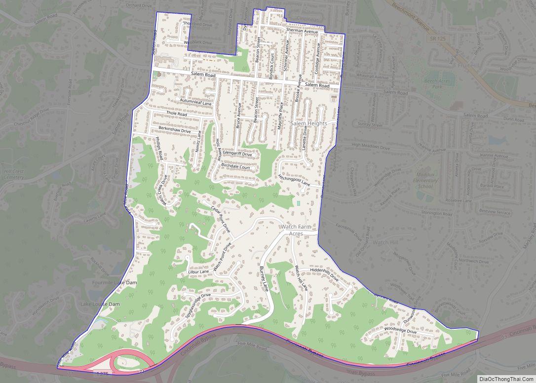
Salem Heights is a census-designated place (CDP) in Anderson Township, Hamilton County, Ohio, United States, adjacent to the city of Cincinnati. The population of Salem Heights was 3,862 at the 2020 census. Salem Heights CDP overview: Name: Salem Heights CDP LSAD Code: 57 LSAD Description: CDP (suffix) State: Ohio County: Hamilton County Elevation: 725 ft (221 m) ... Read more
