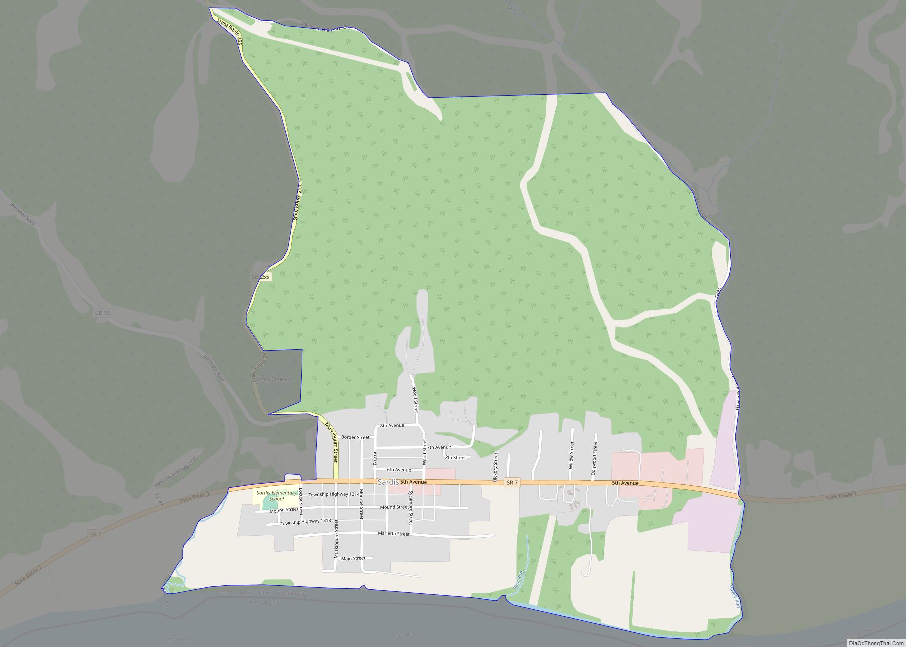
Sardis is a census-designated place (CDP) in southeastern Lee Township, Monroe County, Ohio, United States. It is unincorporated, but has a post office with the ZIP code of 43946. As of the 2010 census, it had a population of 559. Sardis is at the intersection of Ohio State Routes 7 and 255, lying between Duffy ... Read more
Ohio Cities and Places
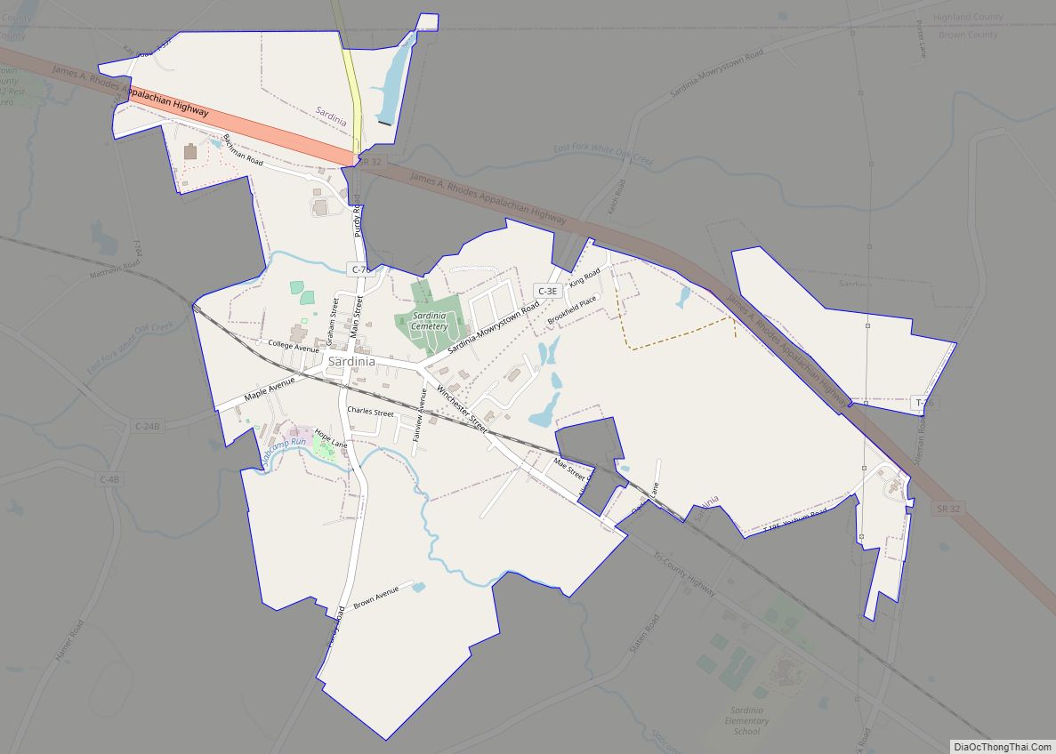
Sardinia is a village in Brown and Highland counties in the U.S. state of Ohio. The population was 980 at the 2010 census. Sardinia village overview: Name: Sardinia village LSAD Code: 47 LSAD Description: village (suffix) State: Ohio County: Brown County, Highland County Elevation: 958 ft (292 m) Total Area: 1.75 sq mi (4.54 km²) Land Area: 1.75 sq mi (4.54 km²) Water ... Read more
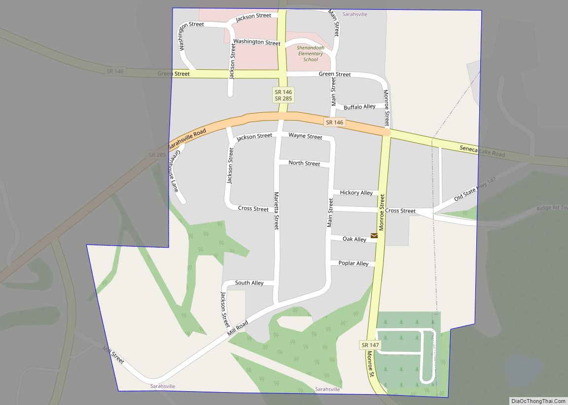
Sarahsville is a village in Noble County, Ohio, United States. The population was 147 at the 2020 census.. Sarahsville village overview: Name: Sarahsville village LSAD Code: 47 LSAD Description: village (suffix) State: Ohio County: Noble County Elevation: 968 ft (295 m) Total Area: 0.17 sq mi (0.44 km²) Land Area: 0.17 sq mi (0.44 km²) Water Area: 0.00 sq mi (0.00 km²) Total Population: 147 Population ... Read more
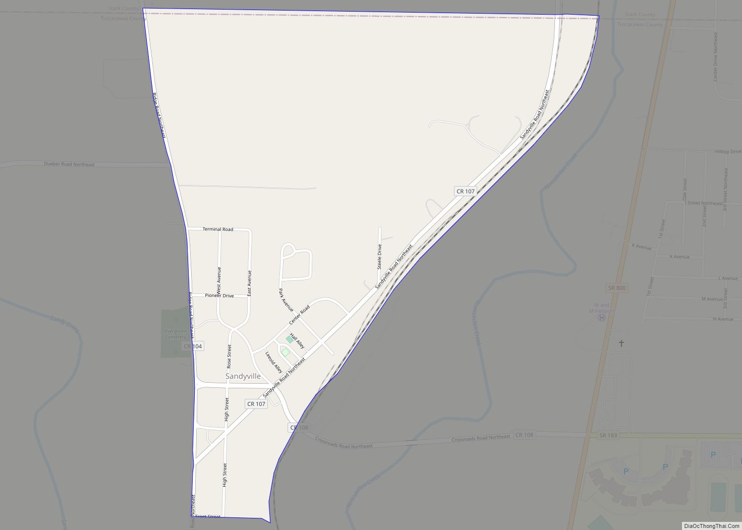
Sandyville is an unincorporated community in northern Sandy Township, Tuscarawas County, Ohio, United States. It has a post office with the ZIP code 44671. It lies along State Route 800 between Canton and New Philadelphia. Among the notable residents of Sandyville was Graydon Evans, a World War II test pilot who was killed in the ... Read more
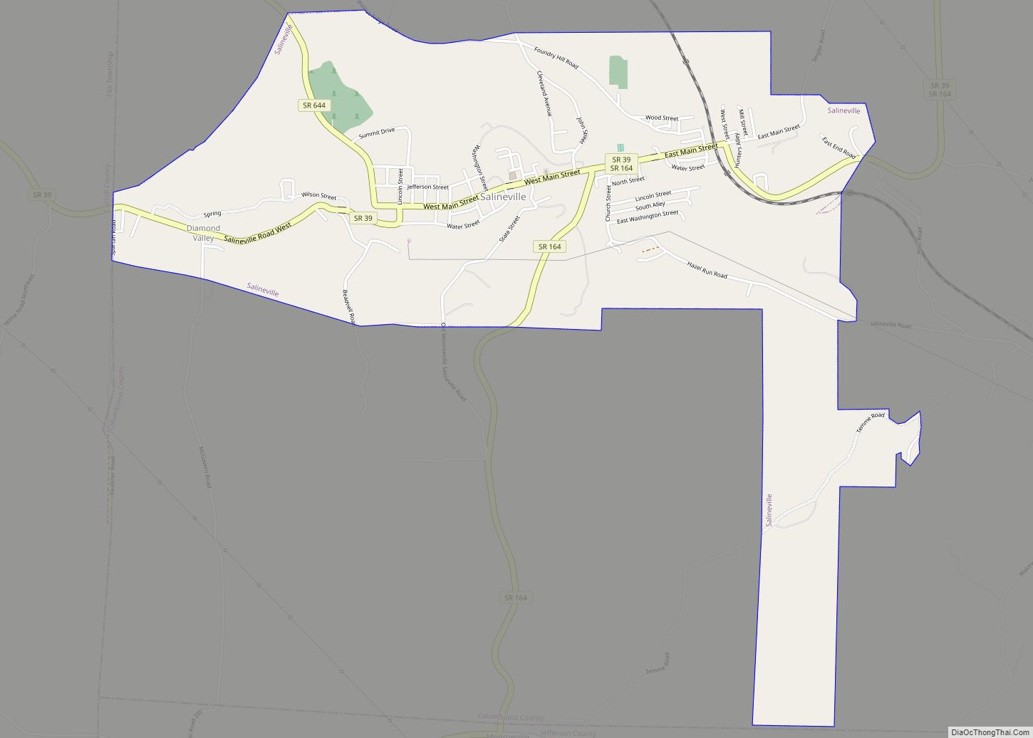
Salineville (/səˈliːnvɪl/ sə-LEEN-vil ) is a village in southwestern Columbiana County, Ohio, United States. The population was 1,206 at the 2020 census. It is part of the Salem micropolitan area, about 20 miles (32 km) northwest of Steubenville and 34 miles (55 km) southwest of Youngstown. Salineville village overview: Name: Salineville village LSAD Code: 47 LSAD Description: ... Read more
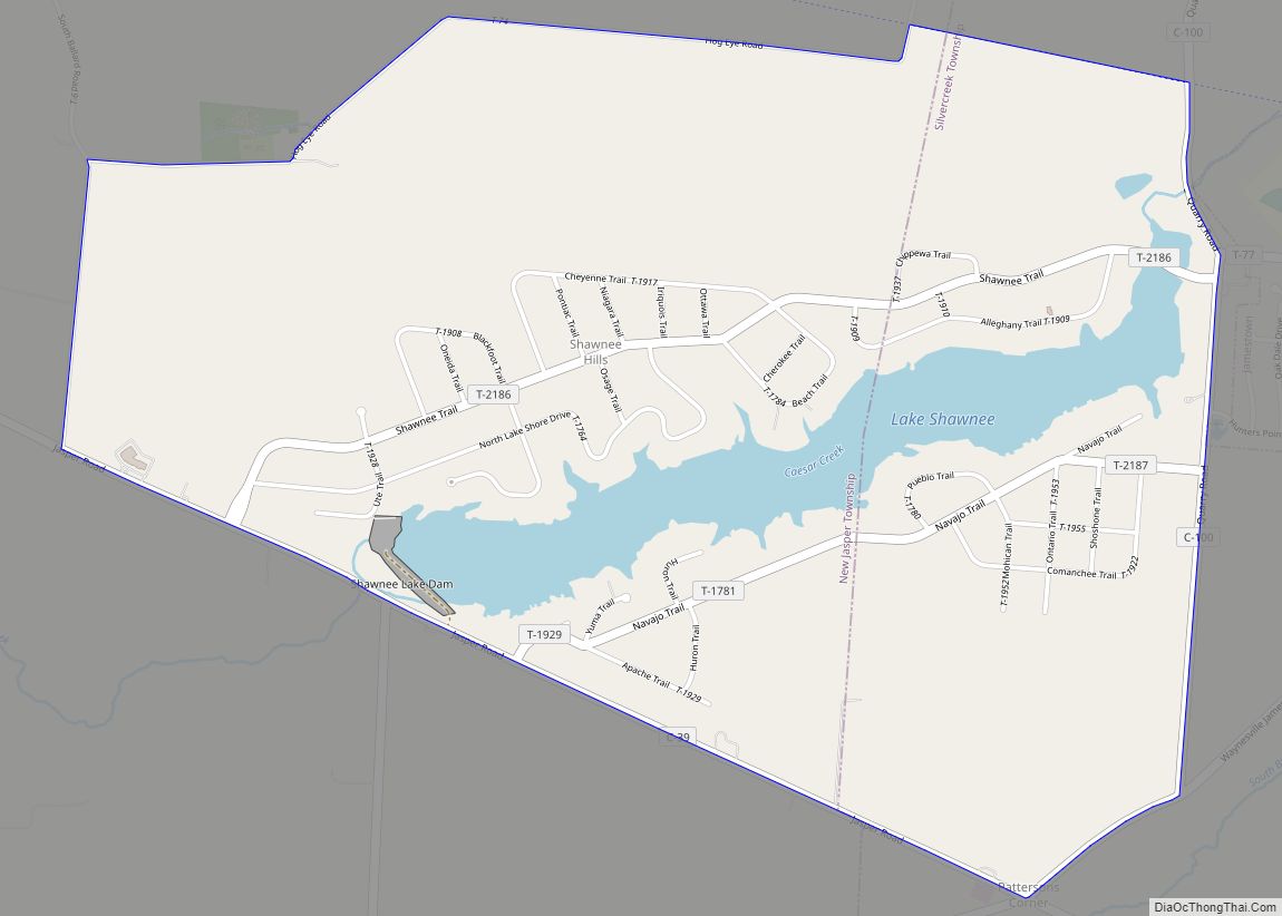
Shawnee Hills is a census-designated place (CDP) in Greene County, Ohio, United States. Shawnee Hills consists of a planned community centered on the 250-acre (1.0 km) Shawnee Lake. The population was 2,171 at the 2010 census, down from 2,355 at the 2000 census. It is part of the Dayton Metropolitan Statistical Area, and should not be ... Read more
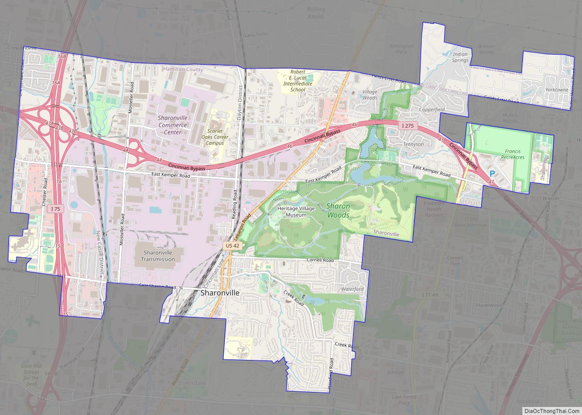
Sharonville is a city largely in Hamilton county in the U.S. state of Ohio. The population was 14,117 at the 2020 census. Sharonville is part of the Cincinnati metropolitan area and located about 13 mi from downtown Cincinnati. Sharonville city overview: Name: Sharonville city LSAD Code: 25 LSAD Description: city (suffix) State: Ohio County: Butler County, ... Read more
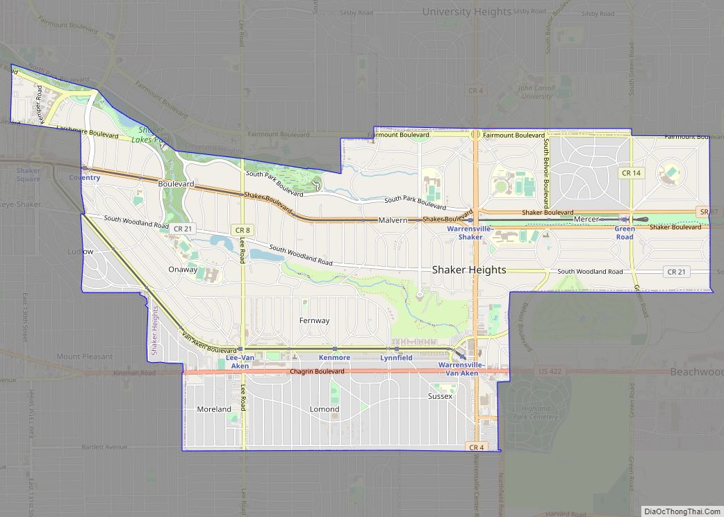
Shaker Heights is a city in Cuyahoga County, Ohio, United States. As of the 2020 census, the city’s population was 29,439. Shaker Heights is an inner-ring streetcar suburb of Cleveland, abutting the eastern edge of the city’s limits. Shaker Heights was a planned community developed by the Van Sweringen brothers, railroad moguls who envisioned the ... Read more
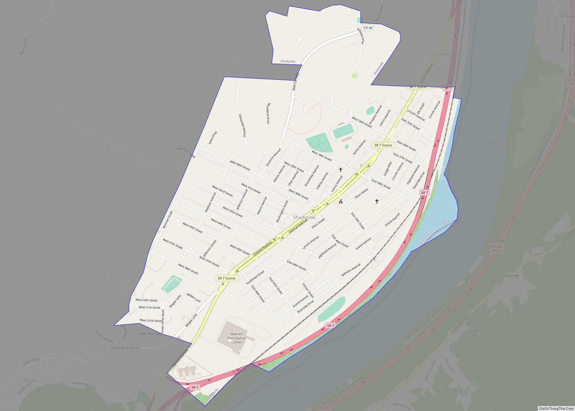
Shadyside is a village in eastern Belmont County, Ohio, United States, along the Ohio River. The population was 3,454 at the 2020 census. It is part of the Wheeling metropolitan area. Shadyside village overview: Name: Shadyside village LSAD Code: 47 LSAD Description: village (suffix) State: Ohio County: Belmont County Elevation: 689 ft (210 m) Total Area: 1.03 sq mi ... Read more
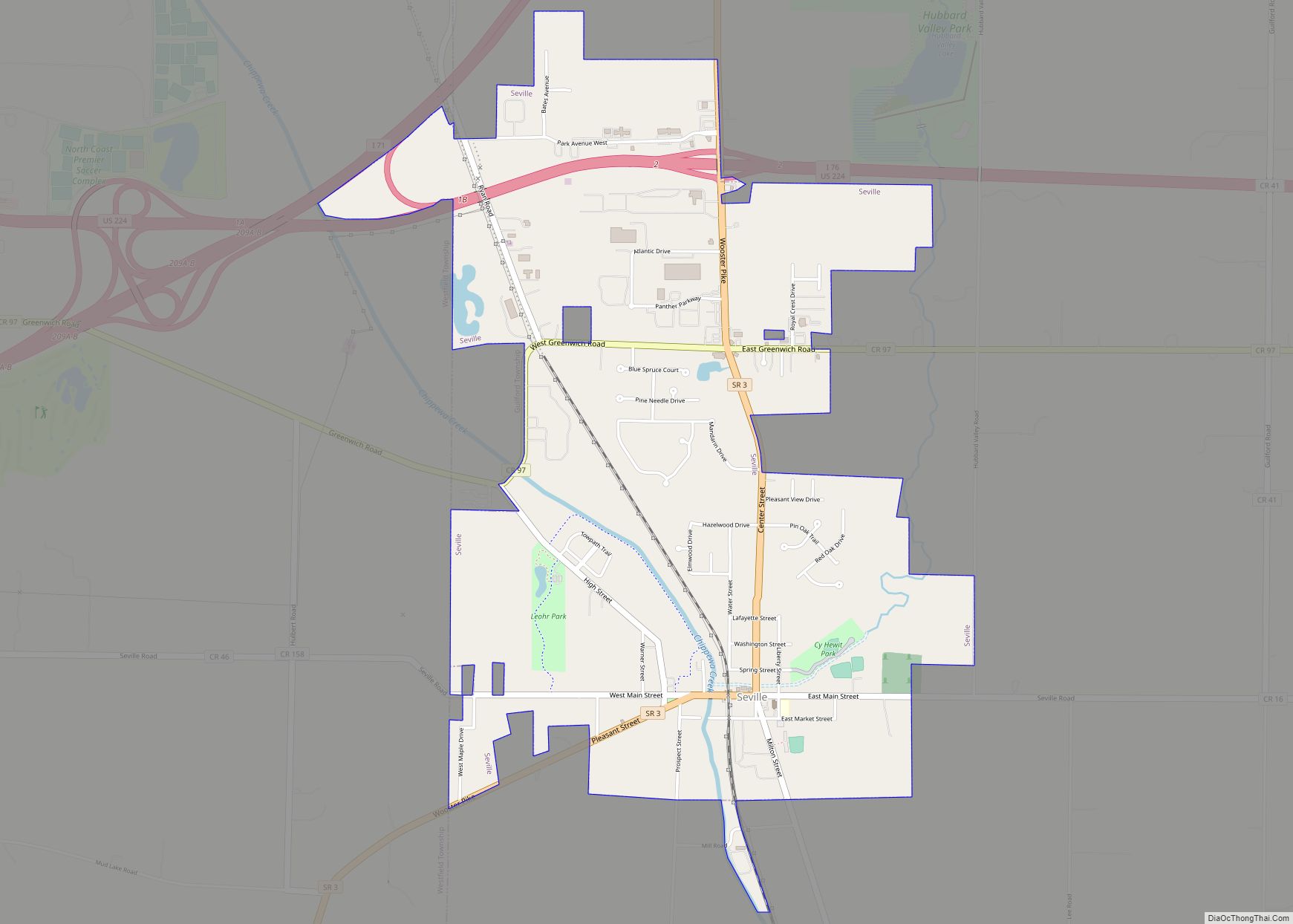
Seville is a village in Medina County, Ohio, United States. The population was 2,296 at the 2010 census. Seville village overview: Name: Seville village LSAD Code: 47 LSAD Description: village (suffix) State: Ohio County: Medina County Elevation: 978 ft (298 m) Total Area: 2.61 sq mi (6.75 km²) Land Area: 2.61 sq mi (6.75 km²) Water Area: 0.00 sq mi (0.00 km²) Total Population: 2,335 Population ... Read more
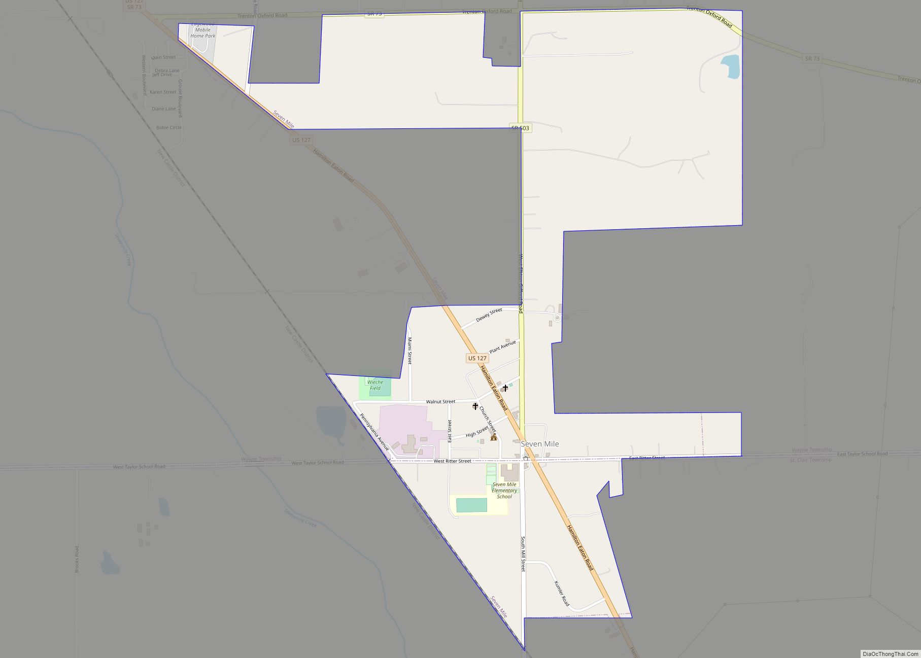
Seven Mile is a village in Butler County, Ohio, United States. The population was 712 at the 2020 census. Seven Mile is served by Edgewood Local School District. Seven Mile Elementary School is the only school located within the village limits. Seven Mile village overview: Name: Seven Mile village LSAD Code: 47 LSAD Description: village ... Read more
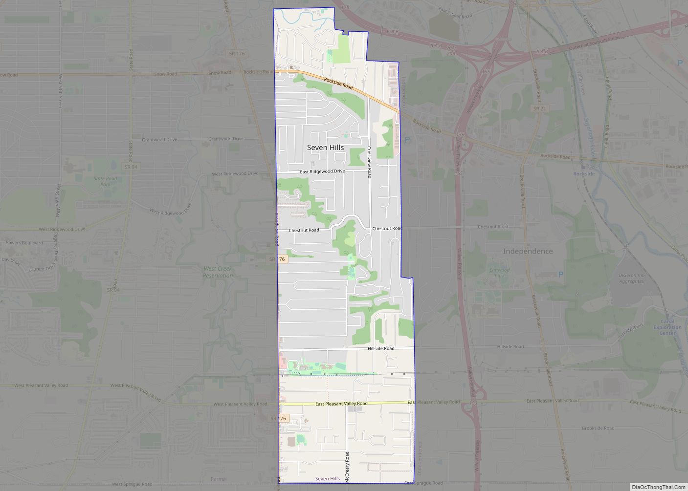
Seven Hills is a city in Cuyahoga County, Ohio, United States. The population was 11,720 at the 2020 census. Seven Hills city overview: Name: Seven Hills city LSAD Code: 25 LSAD Description: city (suffix) State: Ohio County: Cuyahoga County Elevation: 883 ft (269 m) Total Area: 4.91 sq mi (12.71 km²) Land Area: 4.90 sq mi (12.69 km²) Water Area: 0.01 sq mi (0.02 km²) Total ... Read more
