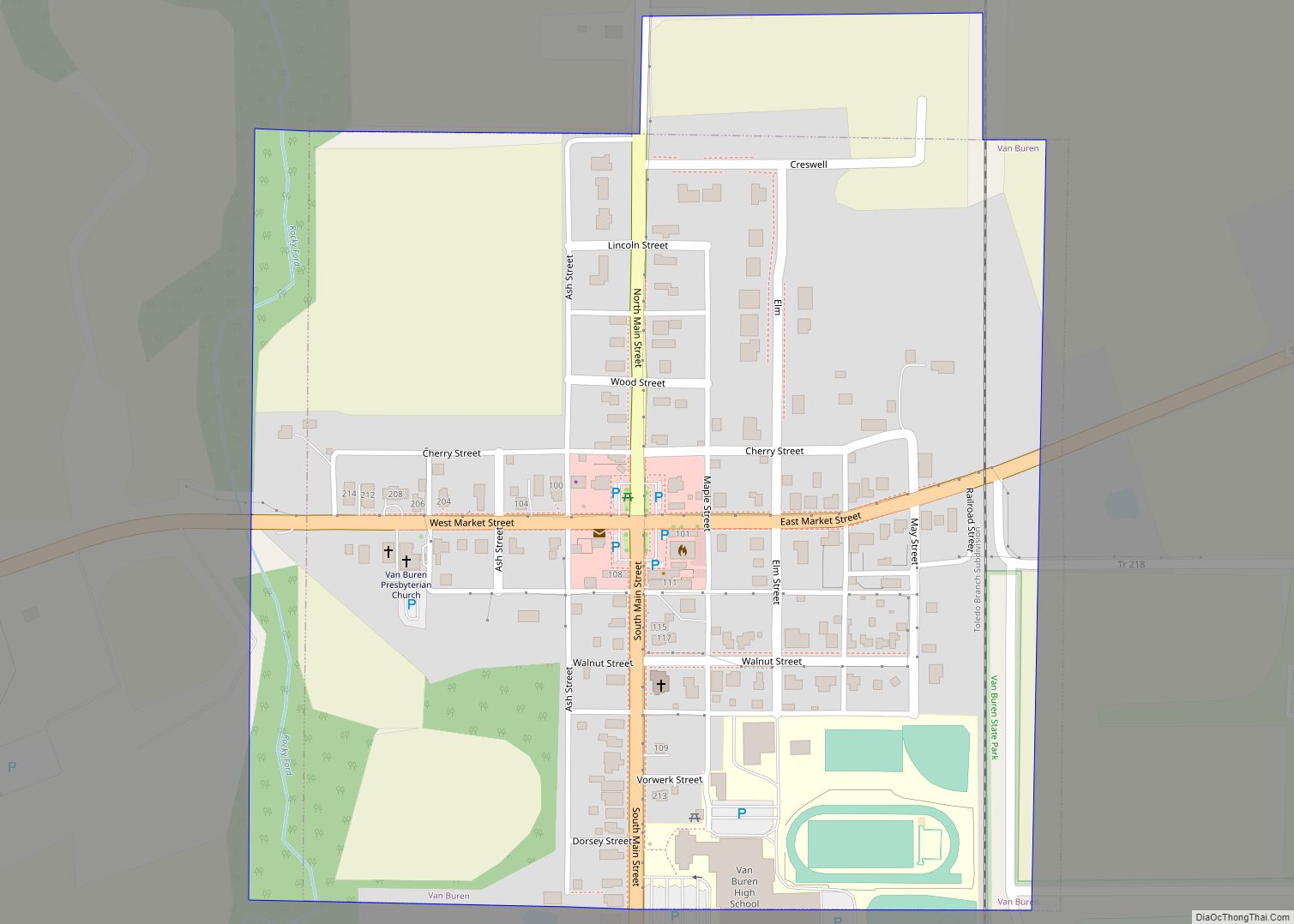
Van Buren is a village in Hancock County, Ohio, United States. The population was 328 at the 2010 census. Van Buren village overview: Name: Van Buren village LSAD Code: 47 LSAD Description: village (suffix) State: Ohio County: Hancock County Total Area: 0.26 sq mi (0.67 km²) Land Area: 0.26 sq mi (0.67 km²) Water Area: 0.00 sq mi (0.00 km²) Total Population: 396 Population ... Read more
Ohio Cities and Places
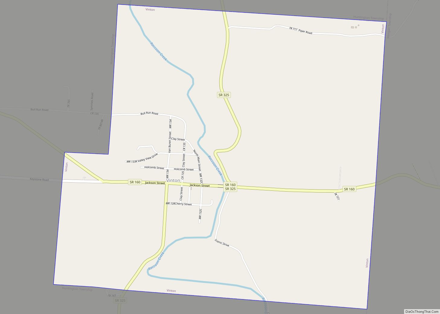
Vinton is a village in Gallia County, Ohio, United States. The population was 224 at the 2020 census. It is part of the rural Point Pleasant micropolitan area. Vinton village overview: Name: Vinton village LSAD Code: 47 LSAD Description: village (suffix) State: Ohio County: Gallia County Total Area: 1.21 sq mi (3.14 km²) Land Area: 1.18 sq mi (3.05 km²) Water ... Read more
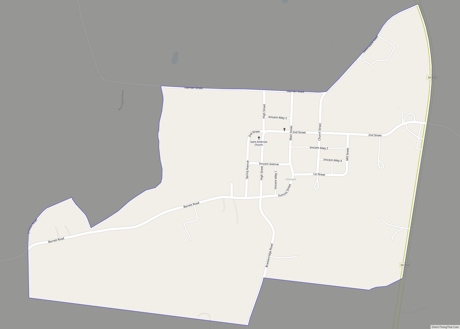
Vincent is a census-designated place in southern Barlow Township, Washington County, Ohio, United States. It has a post office with the ZIP code 45784. It lies along State Route 339 near Tupper Creek, a subsidiary of the Little Hocking River, which in turn meets the Ohio River at Little Hocking to the south. Vincent CDP ... Read more
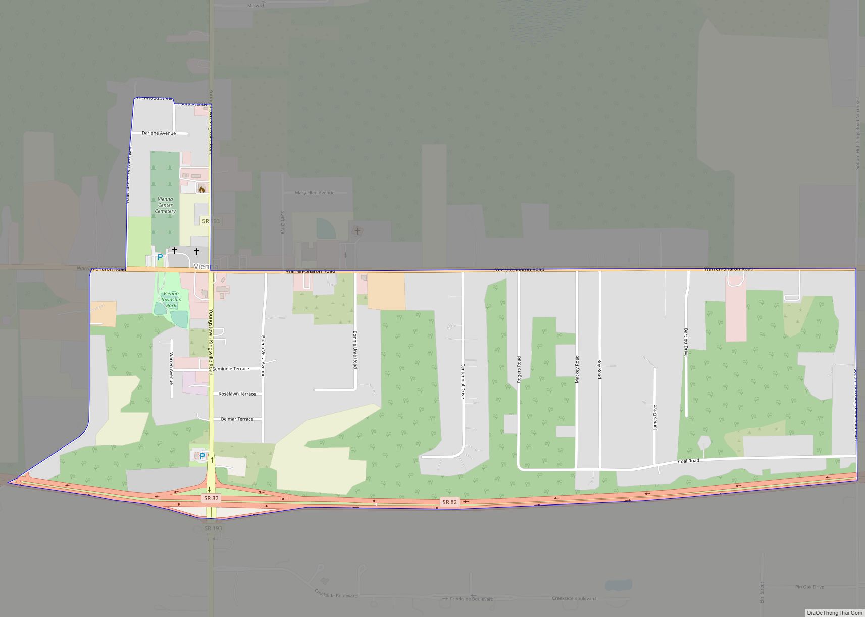
Vienna Center (/vaɪˈɛnə/, sometimes simply Vienna) is an unincorporated community and census-designated place in central Vienna Township, Trumbull County, Ohio, United States. The population was 622 at the 2020 census. It is part of the Youngstown–Warren metropolitan area. Vienna Center CDP overview: Name: Vienna Center CDP LSAD Code: 57 LSAD Description: CDP (suffix) State: Ohio ... Read more
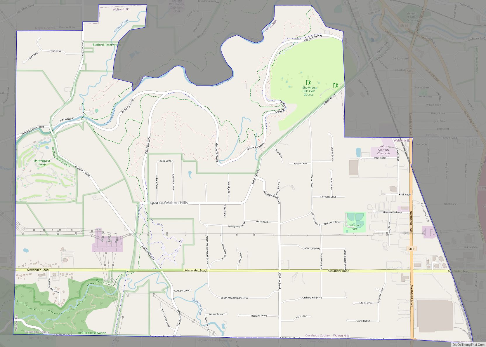
Walton Hills is a village in Cuyahoga County, Ohio, United States. The population was 2,281 at the 2010 census. Walton Hills village overview: Name: Walton Hills village LSAD Code: 47 LSAD Description: village (suffix) State: Ohio County: Cuyahoga County Elevation: 0 ft (0 m) Total Area: 6.80 sq mi (17.61 km²) Land Area: 6.75 sq mi (17.49 km²) Water Area: 0.05 sq mi (0.12 km²) Total ... Read more
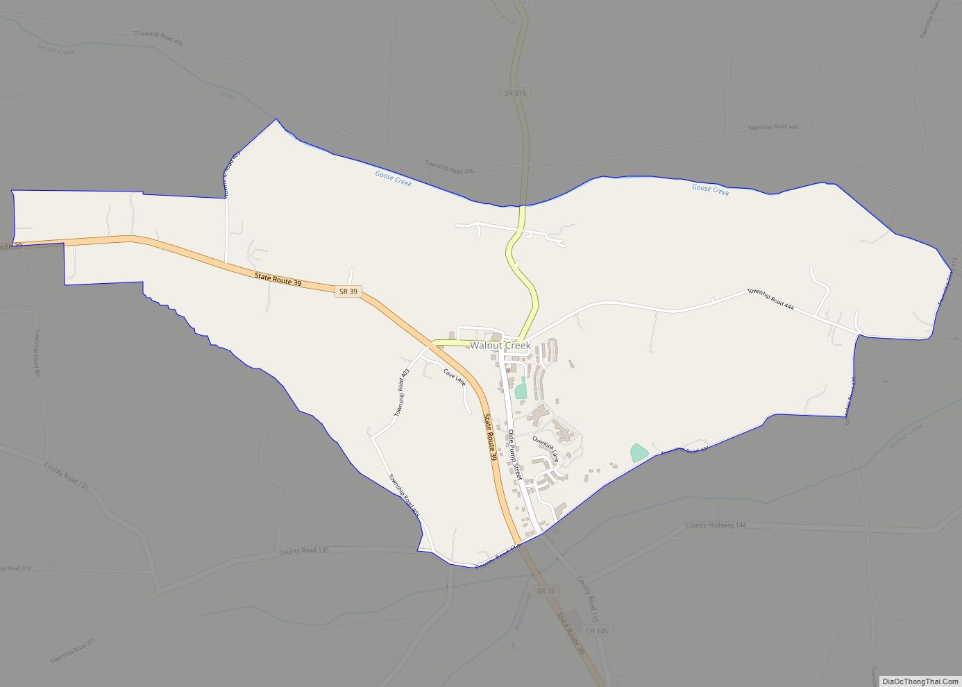
Walnut Creek is an unincorporated community and census-designated place in central Walnut Creek Township, Holmes County, Ohio, United States. As of the 2020 census, it had a population of 908. Located in Ohio’s Amish Country, Walnut Creek is a popular location for tourists. Walnut Creek CDP overview: Name: Walnut Creek CDP LSAD Code: 57 LSAD ... Read more
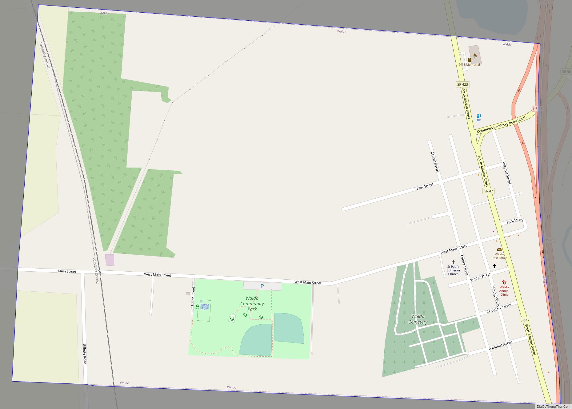
Waldo is a village in Waldo Township, Marion County, Ohio, United States. The population was 338 at the 2010 census. Waldo is part of the River Valley Local School District. Waldo village overview: Name: Waldo village LSAD Code: 47 LSAD Description: village (suffix) State: Ohio County: Marion County Total Area: 0.65 sq mi (1.68 km²) Land Area: 0.65 sq mi ... Read more
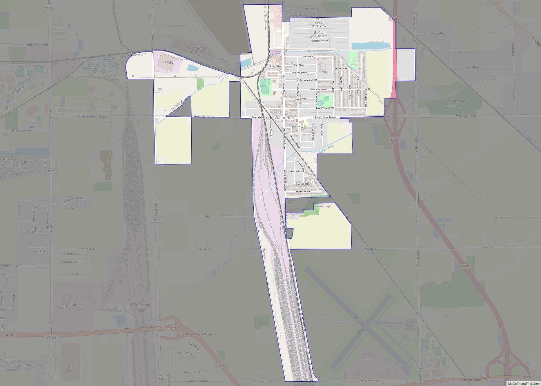
Walbridge is a village in Wood County, Ohio, United States, within the Toledo metropolitan area. The population was 3,019 at the 2010 census. Walbridge village overview: Name: Walbridge village LSAD Code: 47 LSAD Description: village (suffix) State: Ohio County: Wood County Total Area: 2.20 sq mi (5.70 km²) Land Area: 2.19 sq mi (5.66 km²) Water Area: 0.01 sq mi (0.04 km²) Total Population: ... Read more
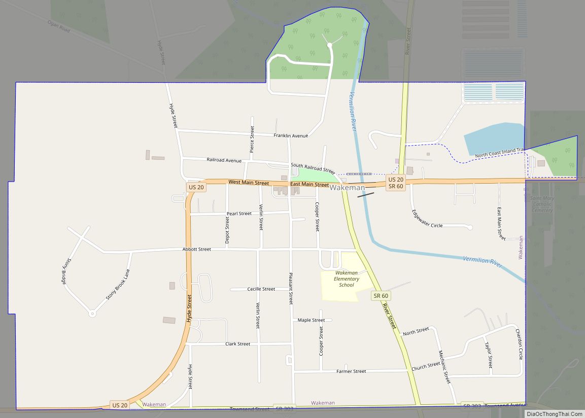
Wakeman is a village in Huron County, Ohio, United States, along the Vermilion River. Its namesake was Jesup Wakeman, an early settler of Fairfield County, Connecticut, who was involved in western land speculation between 1800 and 1840. The population was 1,047 at the 2010 census. Wakeman village overview: Name: Wakeman village LSAD Code: 47 LSAD ... Read more
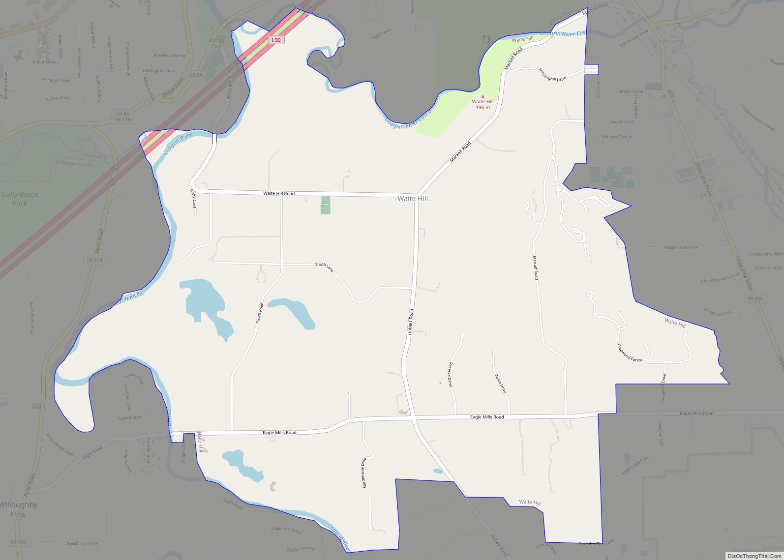
Waite Hill is a village in Lake County, Ohio, United States and an affluent rural suburb of Cleveland. The population was 471 at the 2010 census. Waite Hill village overview: Name: Waite Hill village LSAD Code: 47 LSAD Description: village (suffix) State: Ohio County: Lake County Total Area: 4.25 sq mi (11.00 km²) Land Area: 4.18 sq mi (10.83 km²) Water ... Read more
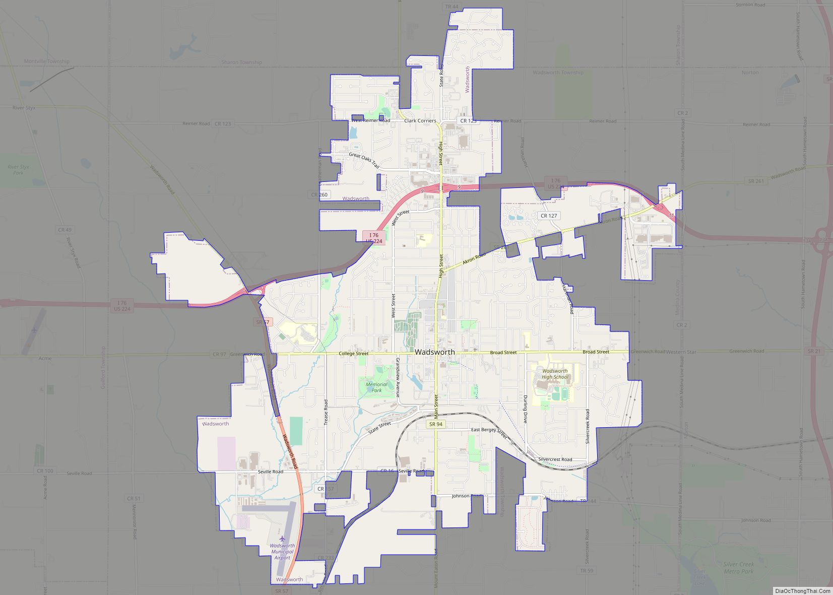
Wadsworth is a city in Medina County, Ohio, United States. It is counted as part of the Cleveland metropolitan area, although it functions mainly as a suburb of Akron. Founded on March 1, 1814, the city was named after General Elijah Wadsworth, a Revolutionary War hero and War of 1812 officer who owned the largest ... Read more
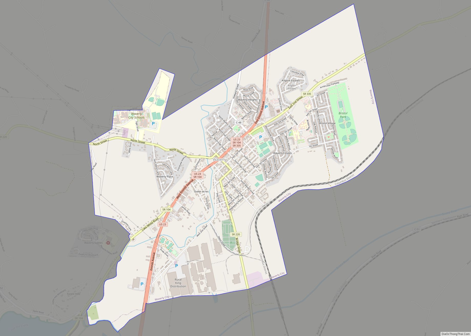
Waverly (sometimes known as Waverly City) is a city in, and the county seat of, Pike County, Ohio, United States, located 14 miles south of Chillicothe. The population was 4,165 at the 2020 census. The town was formed in 1829, as the construction of the Ohio and Erie Canal along the west bank of the ... Read more
