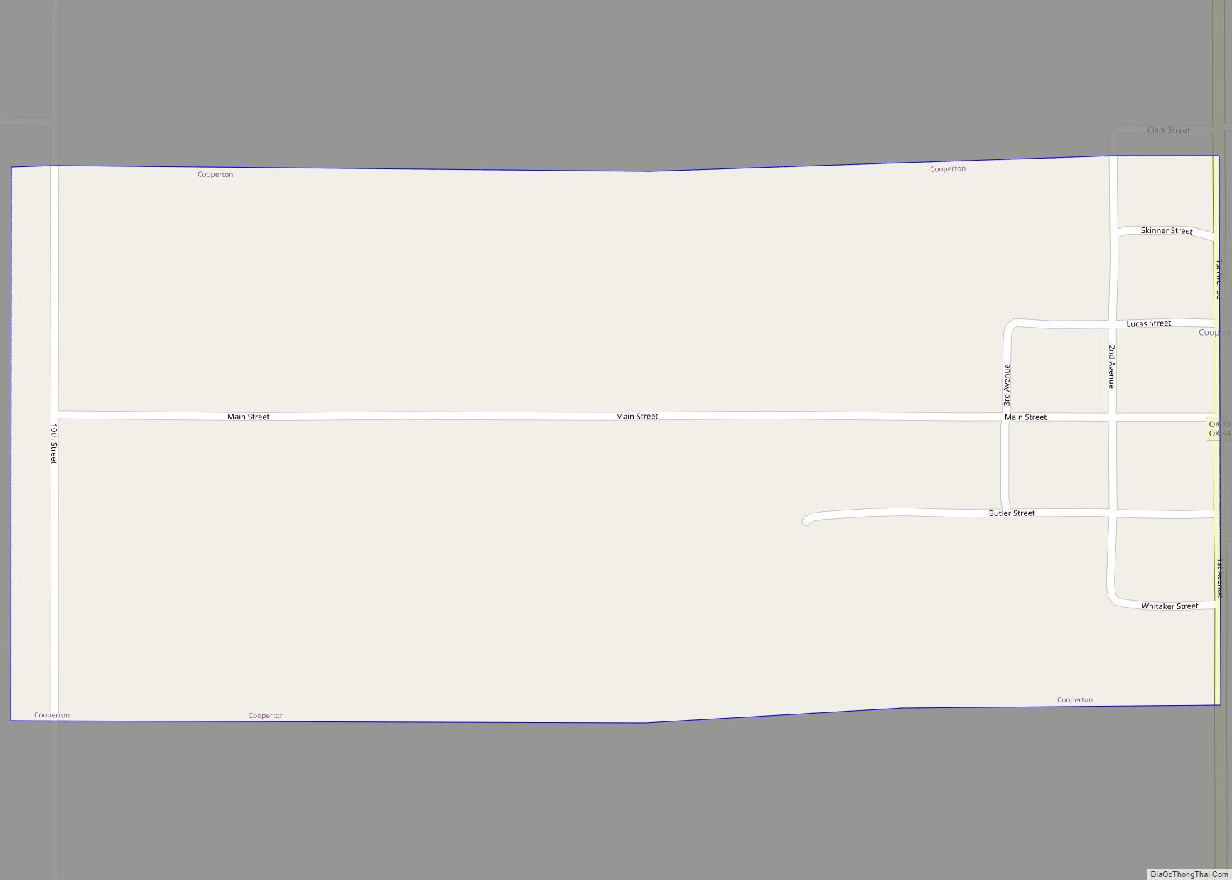
Cooperton is a town in Kiowa County, Oklahoma, United States. The population was 16 at the 2010 census, a decline of 20 percent from the total of 20 in 2000. Cooperton town overview: Name: Cooperton town LSAD Code: 43 LSAD Description: town (suffix) State: Oklahoma County: Kiowa County Elevation: 1,555 ft (474 m) Total Area: 0.52 sq mi (1.34 km²) ... Read more
Oklahoma Cities and Places
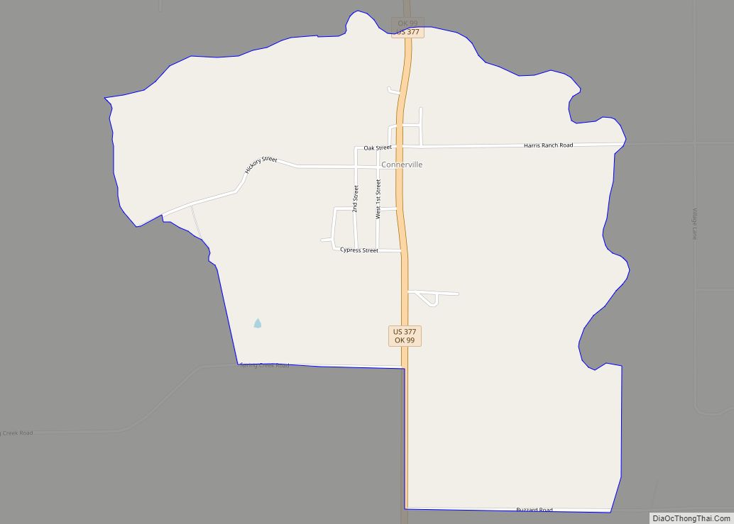
Connerville CDP overview: Name: Connerville CDP LSAD Code: 57 LSAD Description: CDP (suffix) State: Oklahoma FIPS code: 4016700 Online Interactive Map Connerville online map. Source: Basemap layers from Google Map, Open Street Map (OSM), Arcgisonline, Wmflabs. Boundary Data from Database of Global Administrative Areas. Connerville location map. Where is Connerville CDP? Connerville Road Map Connerville ... Read more
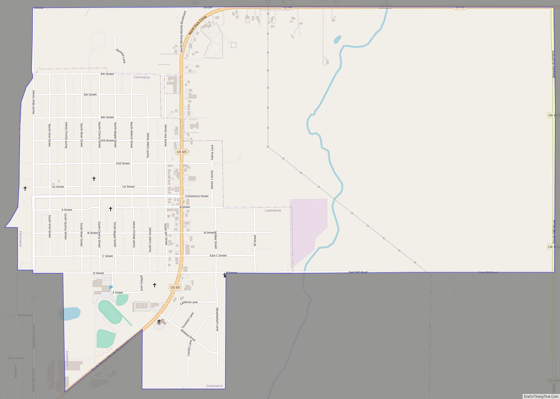
Commerce is a city in Ottawa County, Oklahoma, United States. The population was 2,473 at the 2010 census, down 6.5 percent from the figure of 2,645 in 2000, and lower than the 2,555 residents it had in 1920. Commerce is included in the Joplin, Missouri metropolitan area. Commerce city overview: Name: Commerce city LSAD Code: ... Read more
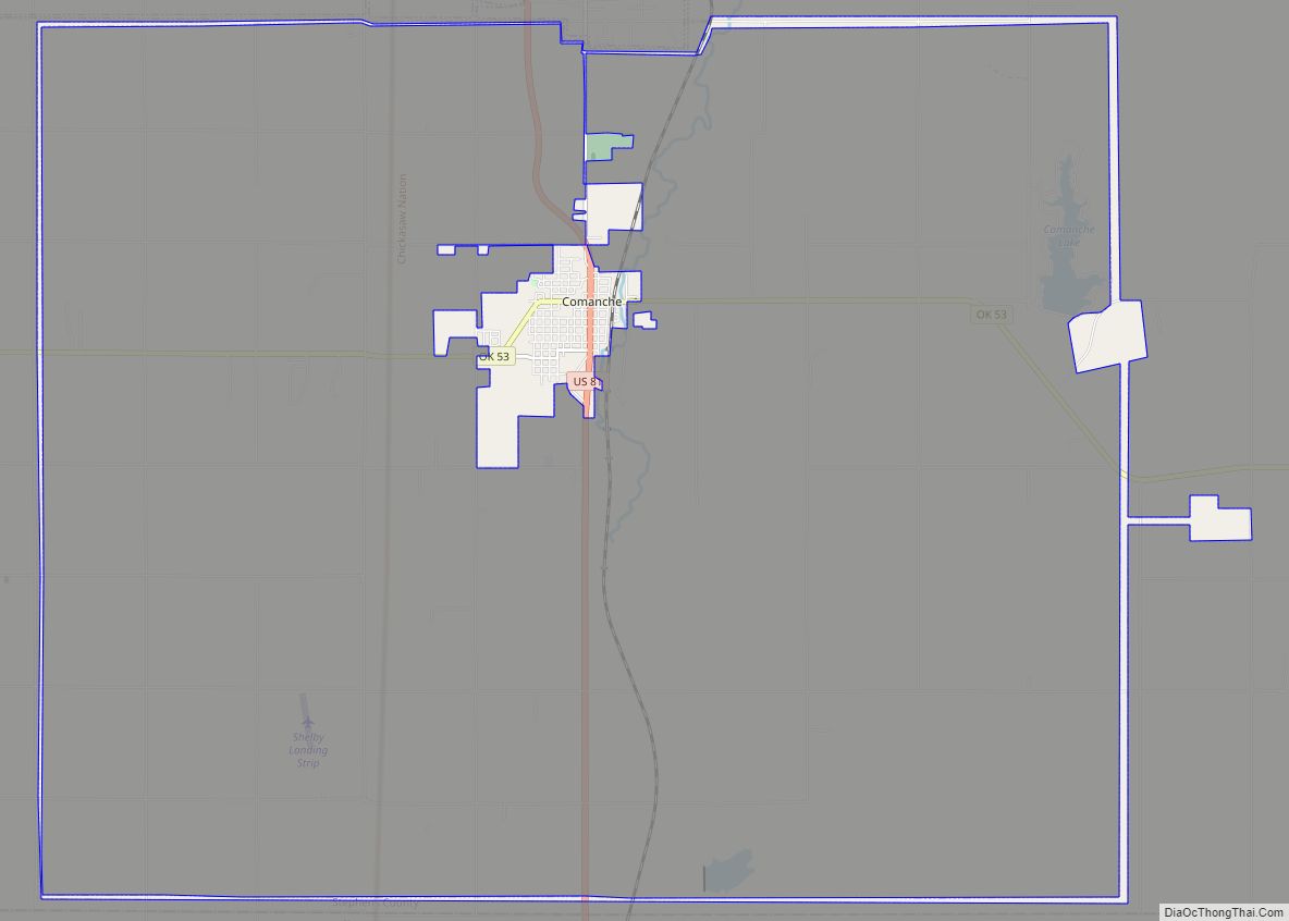
Comanche is a city in Stephens County, Oklahoma, United States. The population was 1,663 at the 2010 census. Comanche city overview: Name: Comanche city LSAD Code: 25 LSAD Description: city (suffix) State: Oklahoma County: Stephens County Elevation: 988 ft (301 m) Total Area: 4.27 sq mi (11.06 km²) Land Area: 4.24 sq mi (10.97 km²) Water Area: 0.04 sq mi (0.09 km²) Total Population: 1,378 Population ... Read more
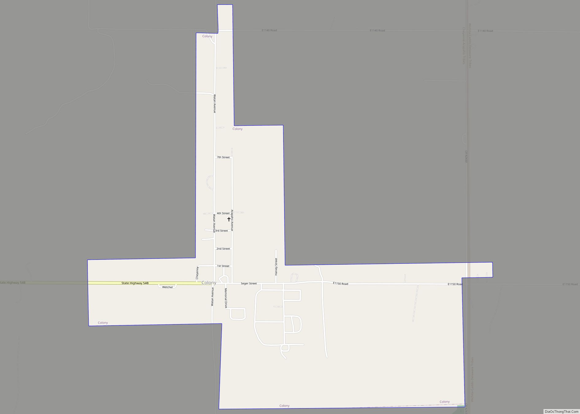
Colony is a town in northeastern Washita County, Oklahoma, United States. The population was 136 at the 2010 U.S. census, a decrease of 7.5 percent from 147 in 2000. It was named for the Seger Colony, founded in 1886, which taught modern agricultural techniques to the Arapaho and Cheyenne tribes that would be resettled in ... Read more
Collinsville is a city in Rogers and Tulsa counties in the U.S. state of Oklahoma, and a part of the Tulsa, Oklahoma Metropolitan Statistical Area. It was named for Dr. A. H. Collins, an engineer and surveyor who first surveyed the land that became this community. The population was 5,606 according to the 2010 census, ... Read more
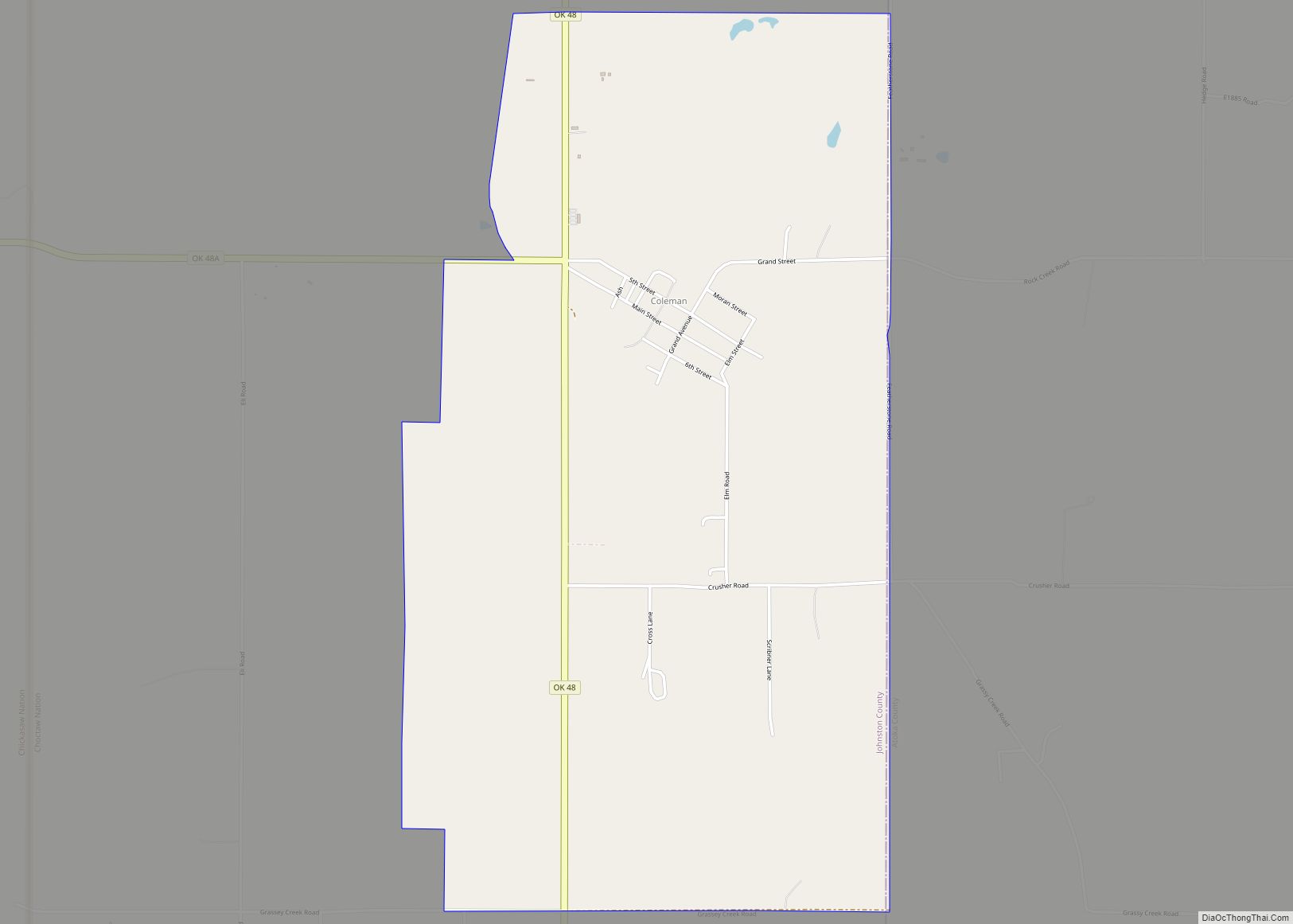
Coleman CDP overview: Name: Coleman CDP LSAD Code: 57 LSAD Description: CDP (suffix) State: Oklahoma FIPS code: 4016250 Online Interactive Map Coleman online map. Source: Basemap layers from Google Map, Open Street Map (OSM), Arcgisonline, Wmflabs. Boundary Data from Database of Global Administrative Areas. Coleman location map. Where is Coleman CDP? Coleman Road Map Coleman ... Read more
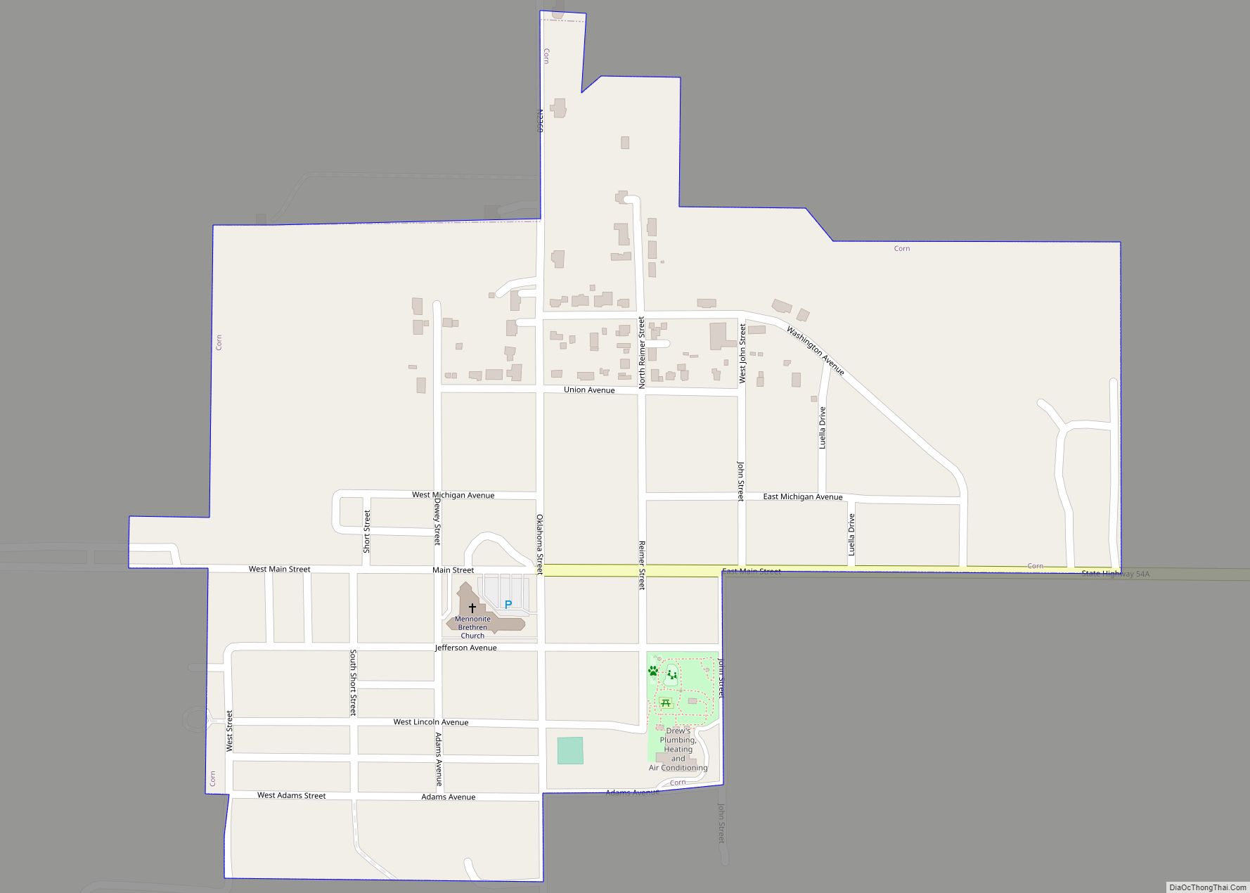
Corn is a town in Washita County, Oklahoma, United States. The population was 503 at the 2010 census. Corn town overview: Name: Corn town LSAD Code: 43 LSAD Description: town (suffix) State: Oklahoma County: Washita County Elevation: 1,578 ft (481 m) Total Area: 0.35 sq mi (0.90 km²) Land Area: 0.35 sq mi (0.90 km²) Water Area: 0.00 sq mi (0.00 km²) Total Population: 592 Population ... Read more
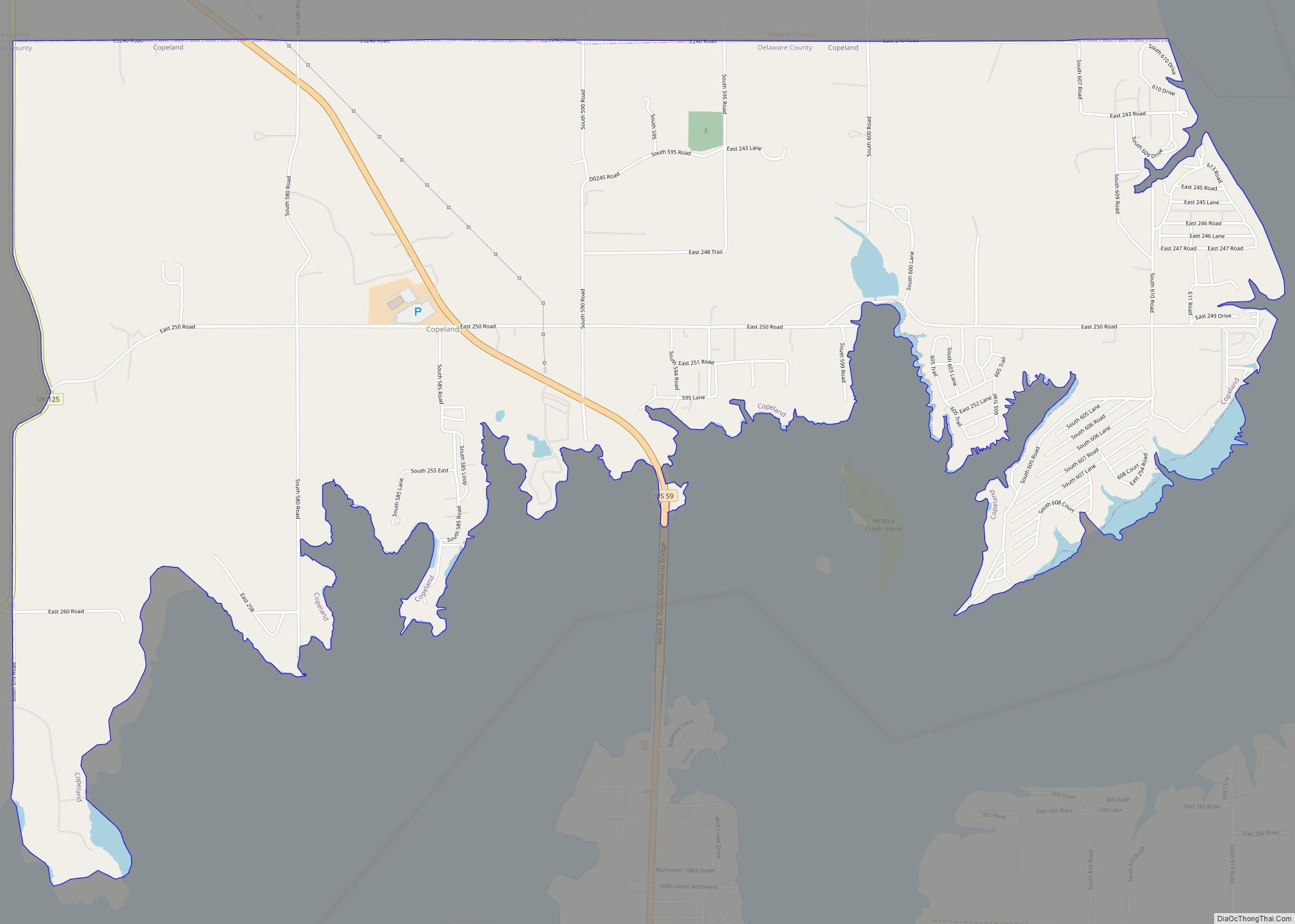
Copeland (also Copeland Switch) is an unincorporated community and census-designated place (CDP) in Delaware County, Oklahoma, United States. The population was 1,629 at the 2010 census, a 12.5 percent increase from the figure of 1,448 recorded in 2000. Founded as a railroad community, it was named for local resident D.R. Copeland. Copeland CDP overview: Name: ... Read more
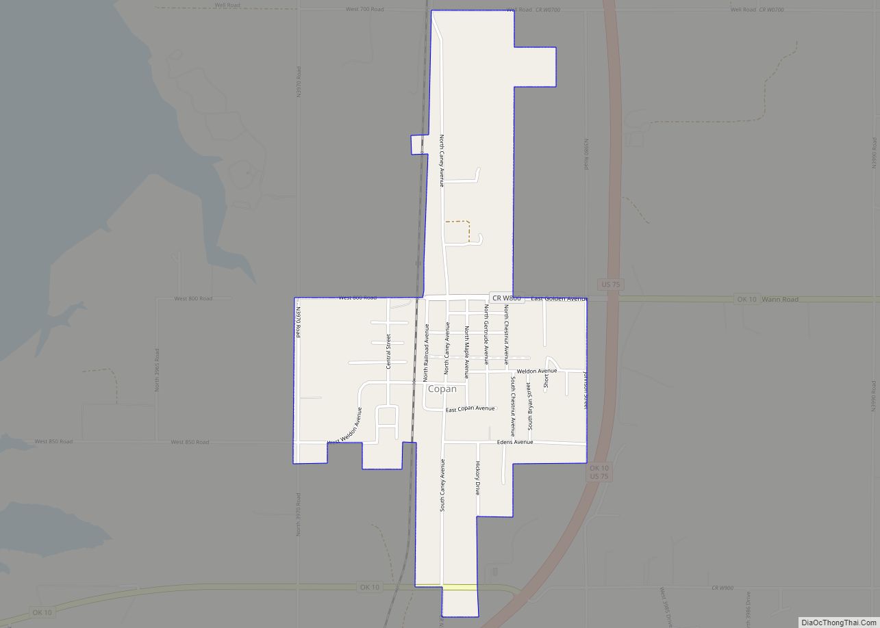
Copan is a town in Washington County, Oklahoma, United States. The population was 733 at the 2010 census, a decline of 7.9 percent from the figure of 796 recorded in 2000. Copan town overview: Name: Copan town LSAD Code: 43 LSAD Description: town (suffix) State: Oklahoma County: Washington County Elevation: 768 ft (234 m) Total Area: 1.05 sq mi ... Read more
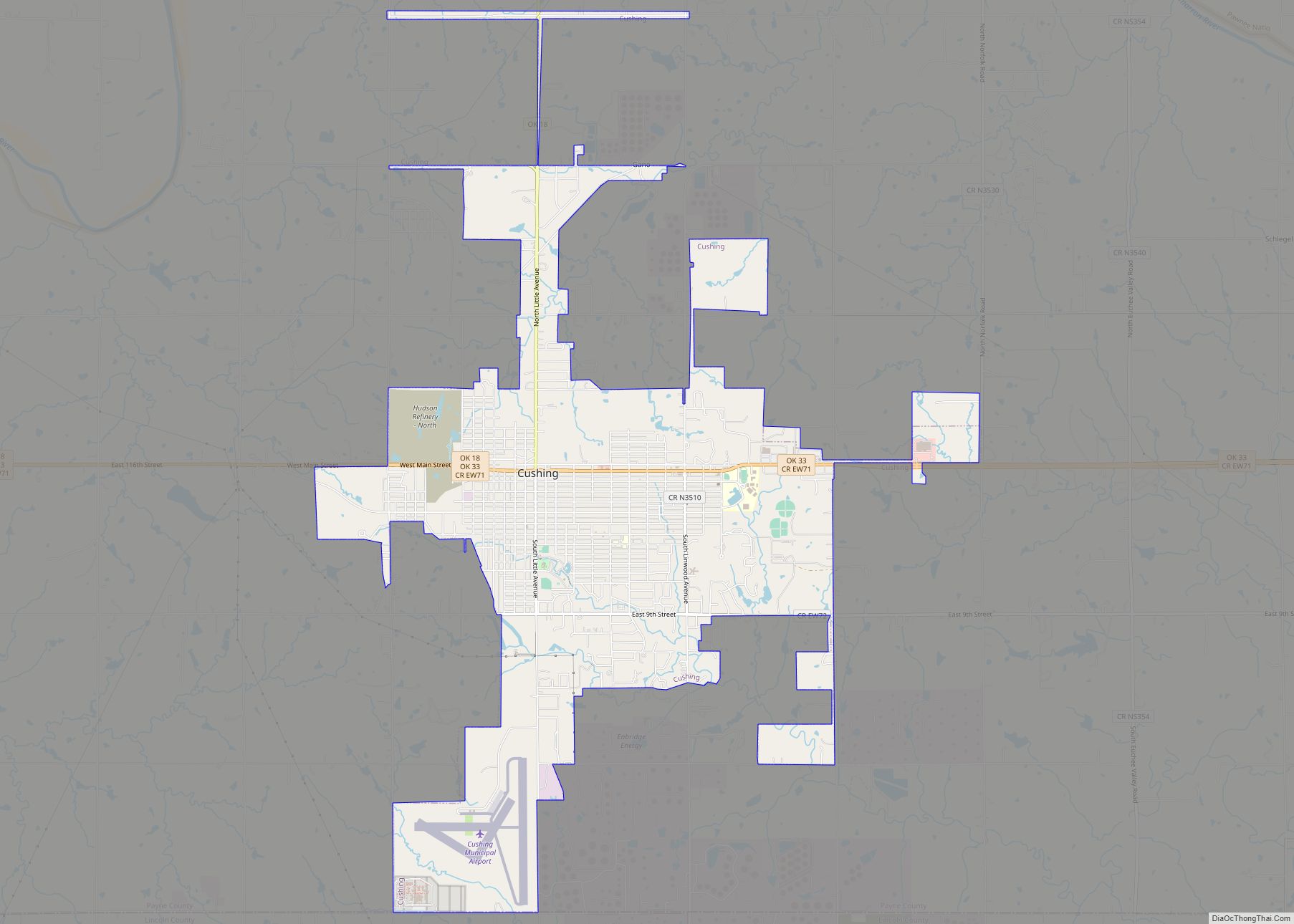
Cushing (Meskwaki: Koshineki, Iowa-Oto: Amína P^óp^oye Chína, meaning: “Soft-seat town”) is a city in Payne County, Oklahoma, United States. The population was 7,826 at the time of the 2010 census, a decline of 6.5% since 8,371 in 2000. Cushing was established after the Land Run of 1891 by William “Billy Rae” Little. It was named ... Read more
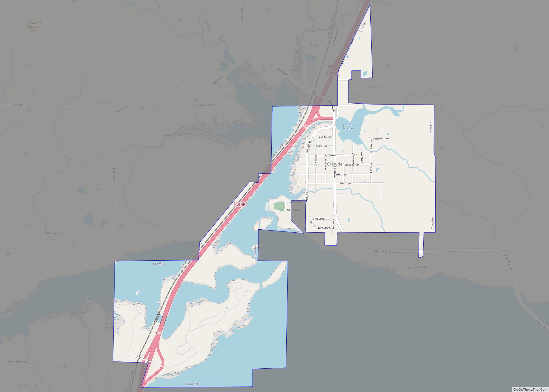
Crowder is a town in Pittsburg County, Oklahoma, United States. The population was 430 at the 2010 census. Crowder town overview: Name: Crowder town LSAD Code: 43 LSAD Description: town (suffix) State: Oklahoma County: Pittsburg County Elevation: 623 ft (190 m) Total Area: 3.06 sq mi (7.93 km²) Land Area: 2.05 sq mi (5.31 km²) Water Area: 1.01 sq mi (2.62 km²) Total Population: 306 Population ... Read more
