Map of Oklahoma City city

Map of Oklahoma City

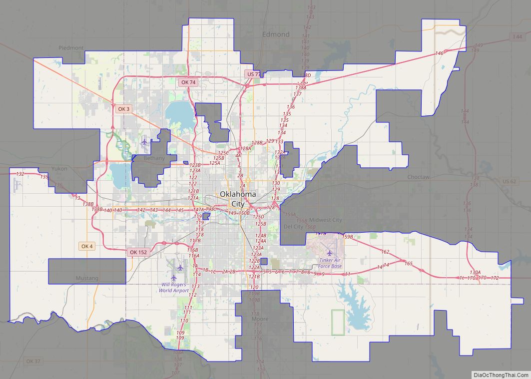
Oklahoma City (/oʊkləˌhoʊmə -/ (listen)), officially the City of Oklahoma City, and often shortened to OKC, is the capital and largest city of the U.S. state of Oklahoma. The county seat of Oklahoma County, it ranks 20th among United States cities in population, and is the 8th largest city in the Southern United States. The … Read more

Map of Tulsa city

Map of Tulsa city

Tulsa (/ˈtʌlsə/) is the second-largest city in the state of Oklahoma and 47th-most populous city in the United States. The population was 413,066 as of the 2020 census. It is the principal municipality of the Tulsa metropolitan area, a region with 1,023,988 residents. The city serves as the county seat of Tulsa County, the most … Read more

Map of Norman city, Oklahoma

Map of Norman city, Oklahoma

Norman (/ˈnɔːrmən/) is the third-largest city in the U.S. state of Oklahoma, with a population of 128,097 as of 2021. It is the largest city and the county seat of Cleveland County, and the second-largest city in the Oklahoma City metropolitan area, behind the state capital, Oklahoma City. It is 20 miles (32 kilometers) south … Read more

Map of Broken Arrow city

Map of Broken Arrow city

Broken Arrow is a city located in the northeastern part of the U.S. state of Oklahoma, primarily in Tulsa County, with a portion in western Wagoner County. It is the largest suburb of Tulsa. According to the 2020 census, Broken Arrow has a population of 113,540 residents and is the fourth-largest city in the state. … Read more

Map of Achille town

Map of Achille town

Achille is a town in Bryan County, Oklahoma, United States. As of the 2010 census, the town population was 492, a 2.8 percent decrease from the figure of 506 recorded in 2000. The town’s name is derived from a Cherokee word, atsila, meaning fire. Achille town overview: Name: Achille town LSAD Code: 43 LSAD Description: … Read more

Map of Afton town, Oklahoma

Map of Afton town, Oklahoma

Afton is a town in northeast Oklahoma in Ottawa County, Oklahoma, United States. The population was 1,049 as of the 2010 census, with population growth stemming from the near abandonment of nearby towns of Cardin and Picher because of ground contamination sites by local mining quarries. The town may have been named for the Scottish … Read more

Map of Addington town

Map of Addington town

Addington is a town in Jefferson County, Oklahoma, United States. The population was 114 at the 2010 census, a decrease of 2.6 percent from the figure of 117 in 2000. The town was founded in 1890. Addington town overview: Name: Addington town LSAD Code: 43 LSAD Description: town (suffix) State: Oklahoma County: Jefferson County Elevation: … Read more

Map of Adair town, Oklahoma

Map of Adair town, Oklahoma

Adair is a town in Mayes County, Oklahoma, United States. The population was 790 at the 2010 census, compared to the figure of 704 recorded in 2000. Named for two prominent Cherokee brothers, the town was established in 1883. It opened a Cherokee school. Adair town overview: Name: Adair town LSAD Code: 43 LSAD Description: … Read more

Map of Ada city, Oklahoma

Map of Ada city, Oklahoma

Ada is a city in and the county seat of Pontotoc County, Oklahoma, United States. The population was 16,481 at the 2020 United States Census. The city was named for Ada Reed, the daughter of an early settler, and was incorporated in 1901. Ada is home to East Central University, and is the headquarters of … Read more

Map of Alex town

Map of Alex town

Alex is a town in Grady County, Oklahoma, United States. The population was 482 at the 2020 census. Alex town overview: Name: Alex town LSAD Code: 43 LSAD Description: town (suffix) State: Oklahoma County: Grady County Elevation: 1,033 ft (315 m) Total Area: 6.65 sq mi (17.22 km²) Land Area: 6.65 sq mi (17.22 km²) Water Area: 0.00 sq mi (0.00 km²) Total Population: 482 Population … Read more

Map of Alderson town

Map of Alderson town, Oklahoma

Alderson is a town in Pittsburg County, Oklahoma, United States. The population was 304 at the 2010 census. Alderson town overview: Name: Alderson town LSAD Code: 43 LSAD Description: town (suffix) State: Oklahoma County: Pittsburg County Elevation: 689 ft (210 m) Total Area: 0.58 sq mi (1.51 km²) Land Area: 0.58 sq mi (1.51 km²) Water Area: 0.00 sq mi (0.00 km²) Total Population: 220 Population … Read more