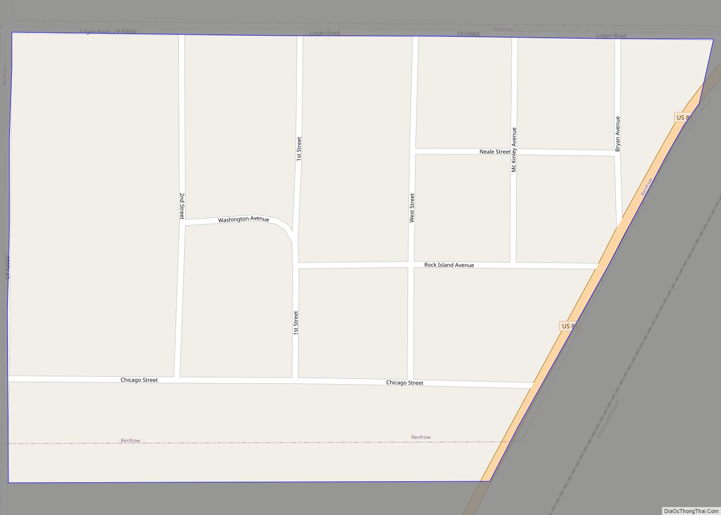
Map of Redbird town

Map of Redbird town

Redbird is a town in Wagoner County, Oklahoma, United States. The population was 137 at the 2010 census, a 10.5 percent decline from the figure of 153 in 2000. Founded at the turn of the 20th century, it was one of more than fifty all-black towns in Oklahoma Territory and Indian Territory and is one … Read more

Map of Redbird Smith CDP

Map of Redbird Smith CDP

Redbird Smith is a census-designated place (CDP) in Sequoyah County, Oklahoma, United States. It is part of the Fort Smith, Arkansas-Oklahoma Metropolitan Statistical Area. The population was 411 at the 2000 census. It was named for Redbird Smith (Cherokee), who founded the Keetoowah Nighthawk Society in Indian Territory and established a ceremonial ground here for … Read more

Map of River Bottom CDP

Map of River Bottom CDP

River Bottom is a census-designated place (CDP) in Muskogee County, Oklahoma, United States. The population was 265 at the 2000 census. River Bottom CDP overview: Name: River Bottom CDP LSAD Code: 57 LSAD Description: CDP (suffix) State: Oklahoma County: Muskogee County Total Area: 9.36 sq mi (24.24 km²) Land Area: 9.36 sq mi (24.24 km²) Water Area: 0.00 sq mi (0.00 km²) Total Population: … Read more

Map of Ripley town, Oklahoma

Map of Ripley town, Oklahoma

Ripley is a town in southeastern Payne County, Oklahoma, United States. The population was 423 at the 2010 census, a decline of 9.2 percent from the figure of 444 in 2000. The town was named after Edward Ripley, the 14th president of the Atchison, Topeka and Santa Fe Railway. Ripley town overview: Name: Ripley town … Read more

Map of Rosston town, Oklahoma

Map of Rosston town, Oklahoma

Rosston is a town in Harper County, Oklahoma, United States. The population was 31 at the 2010 census. The Old Settler’s Irrigation Ditch near Rosston is on the National Register of Historic Places listings in Beaver County, Oklahoma. Rosston town overview: Name: Rosston town LSAD Code: 43 LSAD Description: town (suffix) State: Oklahoma County: Harper … Read more

Map of Rosedale town, Oklahoma

Map of Rosedale town, Oklahoma

Rosedale is a town in McClain County, Oklahoma, United States. The population was 62 at the 2020 census, a 8.8% decrease from 2010. Rosedale town overview: Name: Rosedale town LSAD Code: 43 LSAD Description: town (suffix) State: Oklahoma County: McClain County Elevation: 1,050 ft (320 m) Total Area: 0.08 sq mi (0.20 km²) Land Area: 0.08 sq mi (0.20 km²) Water Area: 0.00 sq mi … Read more

Map of Rose CDP

Map of Rose CDP

Rose is a small unincorporated rural community and census-designated place in southeastern Mayes County, Oklahoma, United States, on Scenic U.S. Highway 412. The community was said to have been named for Rowe’s Prairie, which is nearby. The post office was established March 13, 1891, with David Ragsdale as the postmaster. The ZIP Code is 74364. … Read more

Map of Roosevelt town, Oklahoma

Map of Roosevelt town, Oklahoma

Roosevelt is a town in Kiowa County, Oklahoma, United States. The population was 248 at the 2010 census, a decline of 11.4 percent from 283 in 2000. The town was named for President Theodore Roosevelt. Roosevelt town overview: Name: Roosevelt town LSAD Code: 43 LSAD Description: town (suffix) State: Oklahoma County: Kiowa County Elevation: 1,463 ft … Read more

Map of Roland town, Oklahoma

Map of Roland town, Oklahoma

Roland is a town in Sequoyah County, Oklahoma, United States. It is part of the Fort Smith, Arkansas-Oklahoma Metropolitan Statistical Area. The population was 3,169 at the 2010 census, compared to the figure of 2,842 recorded in 2000. Roland town overview: Name: Roland town LSAD Code: 43 LSAD Description: town (suffix) State: Oklahoma County: Sequoyah … Read more

Map of Roff town

Map of Roff town

Roff is a town in Pontotoc County, Oklahoma, United States. The population was 725 at the 2010 census. Roff town overview: Name: Roff town LSAD Code: 43 LSAD Description: town (suffix) State: Oklahoma County: Pontotoc County Elevation: 1,257 ft (383 m) Total Area: 0.93 sq mi (2.40 km²) Land Area: 0.92 sq mi (2.39 km²) Water Area: 0.00 sq mi (0.01 km²) Total Population: 632 Population … Read more

Map of Rocky town

Map of Rocky town

Rocky is a town in Washita County, Oklahoma, United States. The population was 162 at the 2010 United States Census, a 6.9 percent decline from the figure of 174 in 2000. The town lies along U.S. Route 183. Rocky town overview: Name: Rocky town LSAD Code: 43 LSAD Description: town (suffix) State: Oklahoma County: Washita … Read more

Map of Rocky Mountain CDP

Map of Rocky Mountain CDP

Rocky Mountain is a census-designated place (CDP) in Adair County, Oklahoma, United States. The population was 420 at the 2010 census. Rocky Mountain CDP overview: Name: Rocky Mountain CDP LSAD Code: 57 LSAD Description: CDP (suffix) State: Oklahoma County: Adair County Elevation: 997 ft (304 m) Total Area: 15.26 sq mi (39.54 km²) Land Area: 15.25 sq mi (39.50 km²) Water Area: 0.01 sq mi … Read more