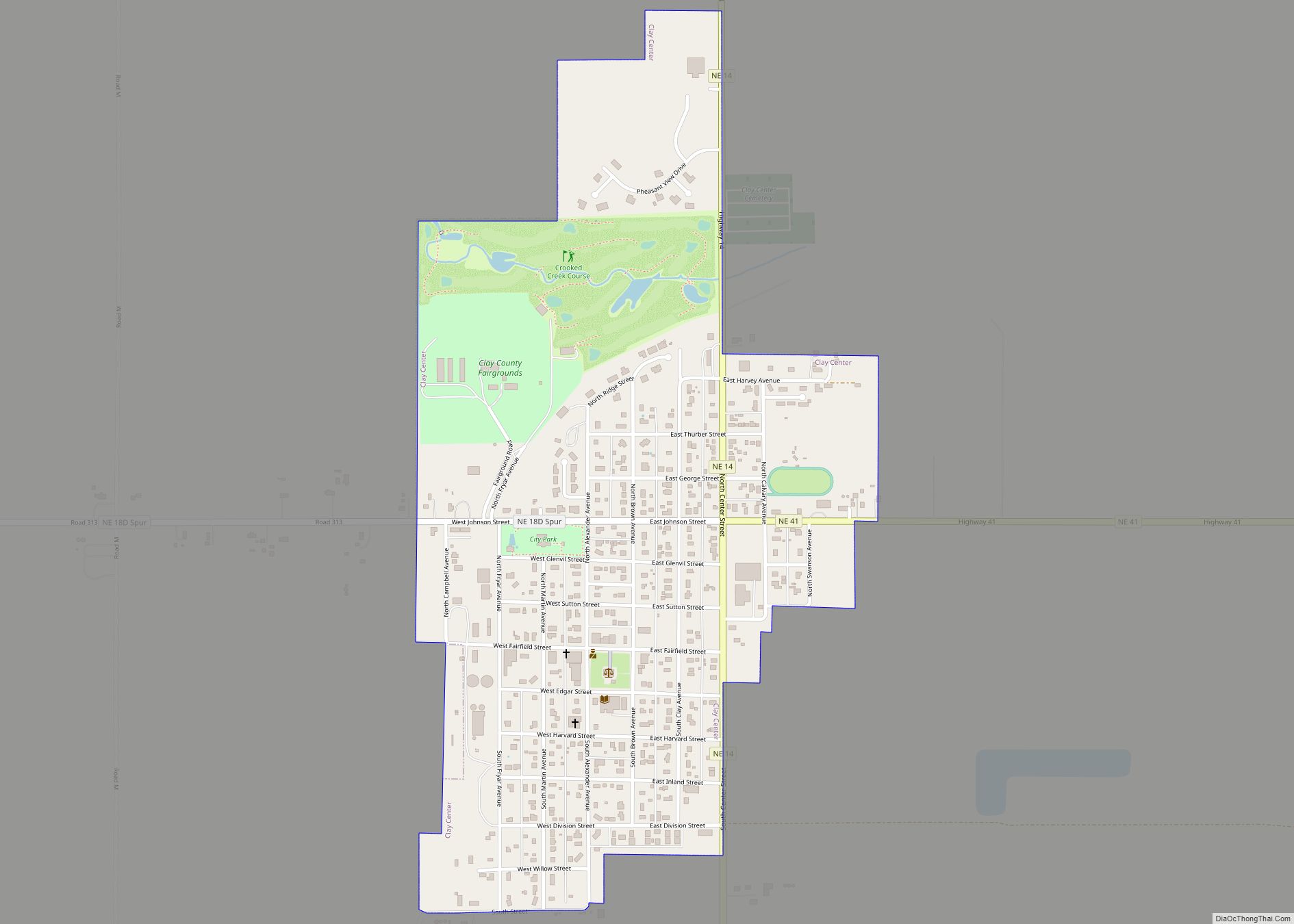
Clay Center is a city in and the county seat of Clay County, Nebraska, United States. It is part of the Hastings, Nebraska Micropolitan Statistical Area. The population was 760 at the 2010 census. Clay Center city overview: Name: Clay Center city LSAD Code: 25 LSAD Description: city (suffix) State: Nebraska County: Clay County Elevation: ... Read more
Map of US Cities and Places
Clatonia is a village in Gage County, Nebraska, United States. The population was 263 at the 2020 census. Clatonia village overview: Name: Clatonia village LSAD Code: 47 LSAD Description: village (suffix) State: Nebraska County: Gage County Elevation: 1,385 ft (422 m) Total Area: 0.28 sq mi (0.72 km²) Land Area: 0.28 sq mi (0.72 km²) Water Area: 0.00 sq mi (0.00 km²) Total Population: 263 Population ... Read more
Clarkson is a city in Colfax County, Nebraska, United States. The population was 658 at the 2010 census. Clarkson city overview: Name: Clarkson city LSAD Code: 25 LSAD Description: city (suffix) State: Nebraska County: Colfax County Elevation: 1,496 ft (456 m) Total Area: 0.79 sq mi (2.05 km²) Land Area: 0.79 sq mi (2.05 km²) Water Area: 0.00 sq mi (0.00 km²) Total Population: 641 Population ... Read more
Clarks is a village in Merrick County, Nebraska, United States. The population was 344 at the 2020 census. It is part of the Grand Island, Nebraska Micropolitan Statistical Area. Clarks village overview: Name: Clarks village LSAD Code: 47 LSAD Description: village (suffix) State: Nebraska County: Merrick County Elevation: 1,621 ft (494 m) Total Area: 0.31 sq mi (0.81 km²) Land ... Read more
Chester is a village in Thayer County, Nebraska, United States. The population was 226 at the 2020 census. Chester is notable as being the birthplace of six-man football. In addition, Allison Teitjen was awarded the crown of Miss Nebraska in 2017. Chester village overview: Name: Chester village LSAD Code: 47 LSAD Description: village (suffix) State: ... Read more
Chappell (/ˈtʃæpəl/) is a city and county seat of Deuel County, Nebraska, United States. The population was 929 at the 2010 census. Chappell city overview: Name: Chappell city LSAD Code: 25 LSAD Description: city (suffix) State: Nebraska County: Deuel County Elevation: 3,701 ft (1,128 m) Total Area: 0.70 sq mi (1.82 km²) Land Area: 0.70 sq mi (1.82 km²) Water Area: 0.00 sq mi (0.00 km²) ... Read more
Coleridge is a village in Cedar County, Nebraska, United States. The population was 537 at the 2020 census. Coleridge village overview: Name: Coleridge village LSAD Code: 47 LSAD Description: village (suffix) State: Nebraska County: Cedar County Elevation: 1,558 ft (475 m) Total Area: 0.51 sq mi (1.32 km²) Land Area: 0.51 sq mi (1.32 km²) Water Area: 0.00 sq mi (0.00 km²) Total Population: 537 Population ... Read more
Cody is a village in Cherry County, Nebraska, United States. As of the 2010 census, the village had a total population of 154. Cody village overview: Name: Cody village LSAD Code: 47 LSAD Description: village (suffix) State: Nebraska County: Cherry County Elevation: 3,100 ft (945 m) Total Area: 1.03 sq mi (2.67 km²) Land Area: 1.03 sq mi (2.67 km²) Water Area: 0.00 sq mi ... Read more
Cowles is a village in Webster County, Nebraska, United States. The population was 30 at the 2010 census. Cowles village overview: Name: Cowles village LSAD Code: 47 LSAD Description: village (suffix) State: Nebraska County: Webster County Elevation: 1,791 ft (546 m) Total Area: 0.56 sq mi (1.44 km²) Land Area: 0.56 sq mi (1.44 km²) Water Area: 0.00 sq mi (0.00 km²) Total Population: 21 Population ... Read more
Cotesfield is a village in Howard County, Nebraska, United States. The population was 46 at the 2010 census. It is part of the Grand Island, Nebraska Micropolitan Statistical Area. Cotesfield village overview: Name: Cotesfield village LSAD Code: 47 LSAD Description: village (suffix) State: Nebraska County: Howard County Elevation: 1,896 ft (578 m) Total Area: 0.52 sq mi (1.36 km²) Land ... Read more
Cortland is a village in Gage County, Nebraska, United States. The population was 504 at the 2020 census. Cortland village overview: Name: Cortland village LSAD Code: 47 LSAD Description: village (suffix) State: Nebraska County: Gage County Elevation: 1,447 ft (441 m) Total Area: 0.26 sq mi (0.68 km²) Land Area: 0.26 sq mi (0.68 km²) Water Area: 0.00 sq mi (0.00 km²) Total Population: 504 Population ... Read more
Cornlea is a village in Platte County, Nebraska, United States. The population was 36 at the 2010 census. Cornlea village overview: Name: Cornlea village LSAD Code: 47 LSAD Description: village (suffix) State: Nebraska County: Platte County Elevation: 1,722 ft (525 m) Total Area: 0.09 sq mi (0.24 km²) Land Area: 0.09 sq mi (0.24 km²) Water Area: 0.00 sq mi (0.00 km²) Total Population: 33 Population ... Read more