Map of Raeville CDP
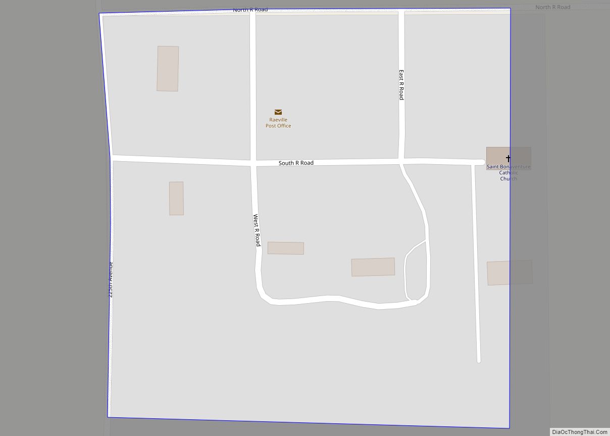
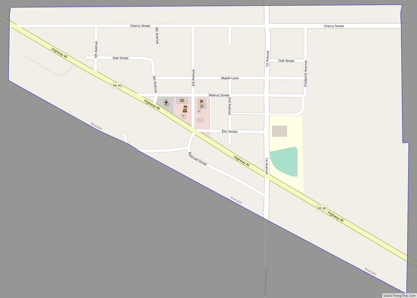
Raeville is an unincorporated village, and part of a namesake census-designated place, in Boone County, Nebraska, United States. As of the 2010 census, the community had a population of 22. Raeville is the location of the still-active St. Bonaventure Church Complex, which is on the National Register of Historic Places. The community consists of that ... Read more
Map of Raeville CDP
Map of Prosser village, Nebraska
Prosser is a village in Adams County, Nebraska, United States. The population was 73 at the 2020 census. It is part of the Hastings, Nebraska, Micropolitan Statistical Area. Prosser village overview: Name: Prosser village LSAD Code: 47 LSAD Description: village (suffix) State: Nebraska County: Adams County Elevation: 2,051 ft (625 m) Total Area: 0.24 sq mi (0.63 km²) Land Area: ... Read more
Map of Prosser village, Nebraska
Map of Reynolds village, Nebraska
Reynolds is a village in Jefferson County, Nebraska, United States. The population was 59 at the 2020 census. Reynolds village overview: Name: Reynolds village LSAD Code: 47 LSAD Description: village (suffix) State: Nebraska County: Jefferson County Elevation: 1,391 ft (424 m) Total Area: 0.25 sq mi (0.65 km²) Land Area: 0.25 sq mi (0.65 km²) Water Area: 0.00 sq mi (0.00 km²) Total Population: 59 Population ... Read more
Map of Reynolds village, Nebraska
Map of Republican City village
Republican City is a village, despite its name, in Harlan County, Nebraska, United States. The population was 150 at the 2010 census. The town is near the Harlan County Reservoir. At its peak in the 1950s the population was about 4 times larger than it is today. Republican City village overview: Name: Republican City village ... Read more
Map of Republican City village
Map of Roscoe CDP, Nebraska
Roscoe is an unincorporated community and census-designated place in Keith County, Nebraska, United States. As of the 2010 census it had a population of 63. Roscoe CDP overview: Name: Roscoe CDP LSAD Code: 57 LSAD Description: CDP (suffix) State: Nebraska County: Keith County Elevation: 3,173 ft (967 m) Total Area: 0.16 sq mi (0.41 km²) Land Area: 0.16 sq mi (0.41 km²) Water ... Read more
Map of Roscoe CDP, Nebraska
Map of Rosalie village
Rosalie is a village in Thurston County, Nebraska, United States, within the boundaries of the Omaha Indian Reservation. The population was 160 at the 2010 census. Rosalie village overview: Name: Rosalie village LSAD Code: 47 LSAD Description: village (suffix) State: Nebraska County: Thurston County Elevation: 1,352 ft (412 m) Total Area: 0.20 sq mi (0.51 km²) Land Area: 0.20 sq mi (0.51 km²) ... Read more
Map of Rosalie village
Map of Rogers village, Nebraska
Rogers is a village in Colfax County, Nebraska, United States. The population was 95 at the 2010 census. Rogers village overview: Name: Rogers village LSAD Code: 47 LSAD Description: village (suffix) State: Nebraska County: Colfax County Elevation: 1,309 ft (399 m) Total Area: 0.17 sq mi (0.44 km²) Land Area: 0.17 sq mi (0.44 km²) Water Area: 0.00 sq mi (0.00 km²) Total Population: 82 Population ... Read more
Map of Rogers village, Nebraska
Map of Rockville village, Nebraska
Rockville is a village in Sherman County, Nebraska, United States. The population was 106 at the 2010 census. Rockville village overview: Name: Rockville village LSAD Code: 47 LSAD Description: village (suffix) State: Nebraska County: Sherman County Elevation: 1,978 ft (603 m) Total Area: 0.22 sq mi (0.58 km²) Land Area: 0.22 sq mi (0.58 km²) Water Area: 0.00 sq mi (0.00 km²) Total Population: 89 Population ... Read more
Map of Rockville village, Nebraska
Map of Roca village
Roca is a village in Lancaster County, Nebraska, United States. It is part of the Lincoln, Nebraska Metropolitan Statistical Area. The population was 201 at the 2020 census. Roca village overview: Name: Roca village LSAD Code: 47 LSAD Description: village (suffix) State: Nebraska County: Lancaster County Elevation: 1,247 ft (380 m) Total Area: 0.14 sq mi (0.36 km²) Land Area: ... Read more
Map of Roca village
Map of Riverton village, Nebraska
Riverton is a village in Franklin County, Nebraska, United States. The population was 89 at the 2010 census. Riverton village overview: Name: Riverton village LSAD Code: 47 LSAD Description: village (suffix) State: Nebraska County: Franklin County Elevation: 1,768 ft (539 m) Total Area: 0.39 sq mi (1.02 km²) Land Area: 0.39 sq mi (1.02 km²) Water Area: 0.00 sq mi (0.00 km²) Total Population: 57 Population ... Read more
Map of Riverton village, Nebraska
Map of Riverdale village, Nebraska
Riverdale is a village in Buffalo County, in the state of Nebraska, in the Midwestern United States. It is part of the Kearney, Nebraska Micropolitan Statistical Area. The population was 182 at the 2010 census. Riverdale village overview: Name: Riverdale village LSAD Code: 47 LSAD Description: village (suffix) State: Nebraska County: Buffalo County Elevation: 2,182 ft ... Read more
Map of Riverdale village, Nebraska
Map of Rising City village
Rising City is a village in Butler County, Nebraska, United States. The population was 374 at the 2010 census. Rising City village overview: Name: Rising City village LSAD Code: 47 LSAD Description: village (suffix) State: Nebraska County: Butler County Elevation: 1,588 ft (484 m) Total Area: 0.36 sq mi (0.93 km²) Land Area: 0.36 sq mi (0.93 km²) Water Area: 0.00 sq mi (0.00 km²) Total ... Read more
Map of Rising City village