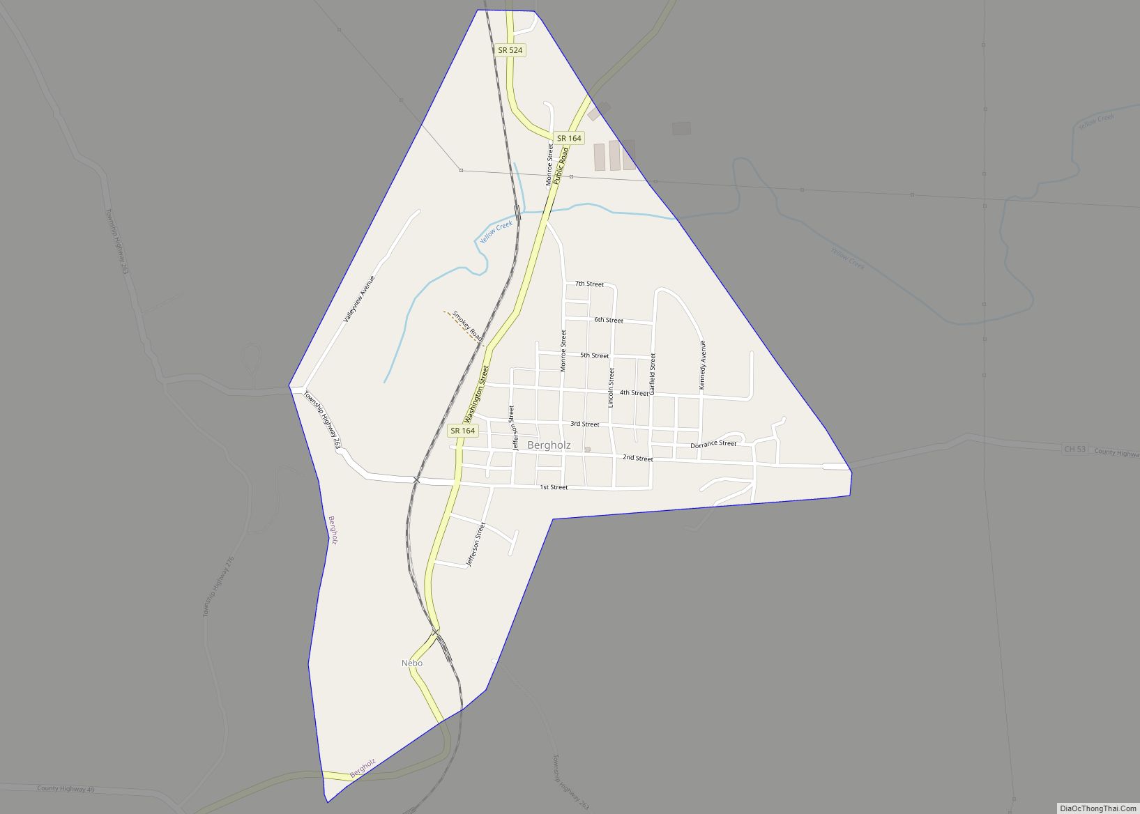
Map of Belmore village
Belmore is a village in Putnam County, Ohio, United States. The population was 65 at the 2020 census. Belmore village overview: Name: Belmore village LSAD Code: 47 LSAD Description: village (suffix) State: Ohio County: Putnam County Elevation: 735 ft (224 m) Total Area: 0.44 sq mi (1.15 km²) Land Area: 0.44 sq mi (1.15 km²) Water Area: 0.00 sq mi (0.00 km²) Total Population: 65 Population ... Read more
Map of Belmore village
Map of Belmont village, Ohio
Belmont is a village in central Belmont County, Ohio, United States. The population was 414 at the 2020 census. It is part of the Wheeling metropolitan area. Belmont village overview: Name: Belmont village LSAD Code: 47 LSAD Description: village (suffix) State: Ohio County: Belmont County Elevation: 1,191 ft (363 m) Total Area: 0.27 sq mi (0.69 km²) Land Area: 0.27 sq mi ... Read more
Map of Belmont village, Ohio
Map of Beulah Beach CDP
Beulah Beach (/ˈbjuːlə/ BEW-lə) is an unincorporated community and census-designated place located adjacent to Lake Erie in Erie County, Ohio, United States. As of the 2010 census it had a population of 53. It is located within Vermilion Township. Beulah Beach CDP overview: Name: Beulah Beach CDP LSAD Code: 57 LSAD Description: CDP (suffix) State: ... Read more
Map of Beulah Beach CDP
Map of Bettsville village
Bettsville is a village in Seneca County, Ohio, United States. The population was 661 at the 2010 census. Bettsville village overview: Name: Bettsville village LSAD Code: 47 LSAD Description: village (suffix) State: Ohio County: Seneca County Elevation: 699 ft (213 m) Total Area: 0.52 sq mi (1.35 km²) Land Area: 0.52 sq mi (1.35 km²) Water Area: 0.00 sq mi (0.00 km²) Total Population: 595 Population ... Read more
Map of Bettsville village
Map of Bethesda village, Ohio
Bethesda (/bəˈθɛzdə/) is a village in west-central Belmont County, Ohio, United States. The population was 1,211 at the 2020 census. It is part of the Wheeling metropolitan area. Bethesda village overview: Name: Bethesda village LSAD Code: 47 LSAD Description: village (suffix) State: Ohio County: Belmont County Elevation: 1,220 ft (372 m) Total Area: 0.64 sq mi (1.67 km²) Land Area: ... Read more
Map of Bethesda village, Ohio
Map of Bethel village, Ohio
Bethel is a village in Tate Township, Clermont County, Ohio, United States. The population was 2,620 at the 2020 census. Bethel was founded in 1798 by Obed Denham as Denham Town, in what was then the Northwest Territory. Bethel is the home of the first movie theater in Ohio which was founded in 1908. Bethel ... Read more
Map of Bethel village, Ohio
Map of Berlin CDP, Ohio
Berlin is an unincorporated community and census-designated place in central Berlin Township, Holmes County, Ohio, United States. As of the 2020 census it had a population of 1,447. Located in Ohio’s Amish Country, the village is part of a large regional tourism industry. Berlin CDP overview: Name: Berlin CDP LSAD Code: 57 LSAD Description: CDP ... Read more
Map of Berlin CDP, Ohio
Map of Berlin Heights village
Berlin Heights is a village in Berlin Township, Erie County, Ohio, United States. The population was 714 at the 2010 census. It is part of the Sandusky, Ohio Metropolitan Statistical Area. In the late 1850s a branch of the “free love” movement was established in Berlin Heights. Berlin Heights village overview: Name: Berlin Heights village ... Read more
Map of Berlin Heights village
Map of Bladensburg CDP, Ohio
Bladensburg is a census-designated place (CDP) on the border between Clay and Jackson townships, Knox County, Ohio, United States. As of the 2010 census the CDP had a population of 191. It has a post office with the ZIP code 43005. It lies along State Route 541 east of Martinsburg. Bladensburg CDP overview: Name: Bladensburg ... Read more
Map of Bladensburg CDP, Ohio
Map of Blacklick Estates CDP
Blacklick Estates is a census-designated place (CDP) in Franklin County, Ohio, United States: partly in Madison Township and partly in Truro Township. As of the 2010 census the population was 8,682, down from 9,518 at the 2000 census. Blacklick Estates CDP overview: Name: Blacklick Estates CDP LSAD Code: 57 LSAD Description: CDP (suffix) State: Ohio ... Read more
Map of Blacklick Estates CDP
Map of Bexley city
Bexley is a suburban city in Franklin County, Ohio, United States. The population was 13,928 at the 2020 census. Founded as a village, the city of Bexley is a suburb of Columbus, the Ohio state capital, situated on the banks of Alum Creek next to Driving Park and Wolfe Park, just east of the Franklin ... Read more
Map of Bexley city
Map of Beverly village, Ohio
Beverly is a village in Washington County, Ohio, United States. The population was 1,233 at the 2020 census. It is part of the Marietta micropolitan area. Beverly village overview: Name: Beverly village LSAD Code: 47 LSAD Description: village (suffix) State: Ohio County: Washington County Elevation: 659 ft (201 m) Total Area: 0.79 sq mi (2.05 km²) Land Area: 0.68 sq mi (1.77 km²) ... Read more
Map of Beverly village, Ohio