Map of Rio Grande village, Ohio
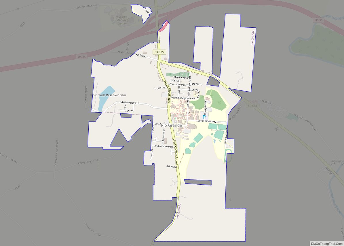
Rio Grande (/ˈraɪoʊ ˈɡrænd/ RY-oh GRAND) is a village in Gallia County, Ohio, United States. The population was 724 at the 2020 census. It is part of the rural Point Pleasant micropolitan area. Although the town is named after the river in the southern United States, its name is pronounced “Rye-O Grand” rather than the ... Read more
Map of Rio Grande village, Ohio
Map of Ridgeway village, Ohio
Ridgeway is a village in Hardin and Logan counties in the U.S. state of Ohio. The population was 338 at the 2010 census. Ridgeway village overview: Name: Ridgeway village LSAD Code: 47 LSAD Description: village (suffix) State: Ohio County: Hardin County, Logan County Elevation: 1,060 ft (320 m) Total Area: 0.57 sq mi (1.46 km²) Land Area: 0.57 sq mi (1.46 km²) Water ... Read more
Map of Ridgeway village, Ohio
Map of Ridgeville Corners CDP
Ridgeville Corners is an unincorporated community and census-designated place (CDP) in southern Ridgeville Township, Henry County, Ohio, United States. It has a post office with the ZIP code 43555. The population was 435 at the 2010 census. Ridgeville Corners CDP overview: Name: Ridgeville Corners CDP LSAD Code: 57 LSAD Description: CDP (suffix) State: Ohio County: ... Read more
Map of Ridgeville Corners CDP
Map of Richwood village, Ohio
Richwood is a village in Union County, Ohio, United States. The population was 2,229 at the 2010 census. Richwood village overview: Name: Richwood village LSAD Code: 47 LSAD Description: village (suffix) State: Ohio County: Union County Elevation: 951 ft (290 m) Total Area: 1.27 sq mi (3.28 km²) Land Area: 1.24 sq mi (3.22 km²) Water Area: 0.03 sq mi (0.07 km²) Total Population: 2,222 Population ... Read more
Map of Richwood village, Ohio
Map of Robertsville CDP, Ohio
Robertsville is an unincorporated community and census-designated place in western Paris Township, Stark County, Ohio, United States. It has a post office with the ZIP code 44670. It lies along U.S. Route 30 between East Canton and Minerva and is in the Minerva Local School District. The community is part of the Canton–Massillon Metropolitan Statistical ... Read more
Map of Robertsville CDP, Ohio
Map of Rome (Stout) village, Ohio
Rome, also known as Stout, is a village in Green Township, Adams County, Ohio, United States, along the Ohio River. The population was 83 at the 2020 census. Rome (Stout) village overview: Name: Rome (Stout) village LSAD Code: 47 LSAD Description: village (suffix) State: Ohio County: Adams County Total Area: 0.25 sq mi (0.66 km²) Land Area: 0.23 sq mi ... Read more
Map of Rome (Stout) village, Ohio
Map of Rogers village, Ohio
Rogers is a village in eastern Columbiana County, Ohio, United States. The population was 194 at the 2020 census. It is a part of the Salem micropolitan area, 21 miles (34 km) south of Youngstown. Located along the Little Bull Creek and the Youngstown and Southeastern Railroad, it is best known for the Rogers Flea Market ... Read more
Map of Rogers village, Ohio
Map of Rocky River city
Rocky River is a city in western Cuyahoga County, Ohio, United States. A suburb of Cleveland, it is located along the shore of Lake Erie approximately 9 miles (14 km) west of downtown Cleveland. The city is named for the Rocky River that forms its eastern border. The population was 21,755 according to the 2020 census ... Read more
Map of Rocky River city
Map of Rocky Ridge village, Ohio
Rocky Ridge is a village in Ottawa County, Ohio, United States. The population was 417 at the 2010 census. Rocky Ridge village overview: Name: Rocky Ridge village LSAD Code: 47 LSAD Description: village (suffix) State: Ohio County: Ottawa County Elevation: 607 ft (185 m) Total Area: 1.02 sq mi (2.63 km²) Land Area: 1.00 sq mi (2.59 km²) Water Area: 0.01 sq mi (0.04 km²) Total ... Read more
Map of Rocky Ridge village, Ohio
Map of Rocky Fork Point CDP
Rocky Fork Point is an unincorporated community and census-designated place in Highland County, Ohio, United States. Its population was 639 as of the 2010 census. Rocky Fork Point CDP overview: Name: Rocky Fork Point CDP LSAD Code: 57 LSAD Description: CDP (suffix) State: Ohio County: Highland County Elevation: 974 ft (297 m) Total Area: 1.22 sq mi (3.17 km²) Land ... Read more
Map of Rocky Fork Point CDP
Map of Rockford village, Ohio
Rockford is a village in Mercer County, Ohio, United States. The village is on the St. Mary’s River near the center of the western Ohio border 12 miles Northwest of Celina. The population was 1,120 at the 2010 census. The village was founded in 1815 by French-Indian trader Anthony Madore, and was originally named Shanesville. ... Read more
Map of Rockford village, Ohio
Map of Rockbridge CDP, Ohio
Rockbridge is an unincorporated community and census-designated place (CDP) in eastern Good Hope Township, Hocking County, Ohio, United States. It has a post office with the ZIP code 43149. It is located at the interchange of U.S. Route 33 and State Route 374, between Logan and Lancaster. As of the 2010 census the population of ... Read more
Map of Rockbridge CDP, Ohio