Map of Salesville CDP, Ohio
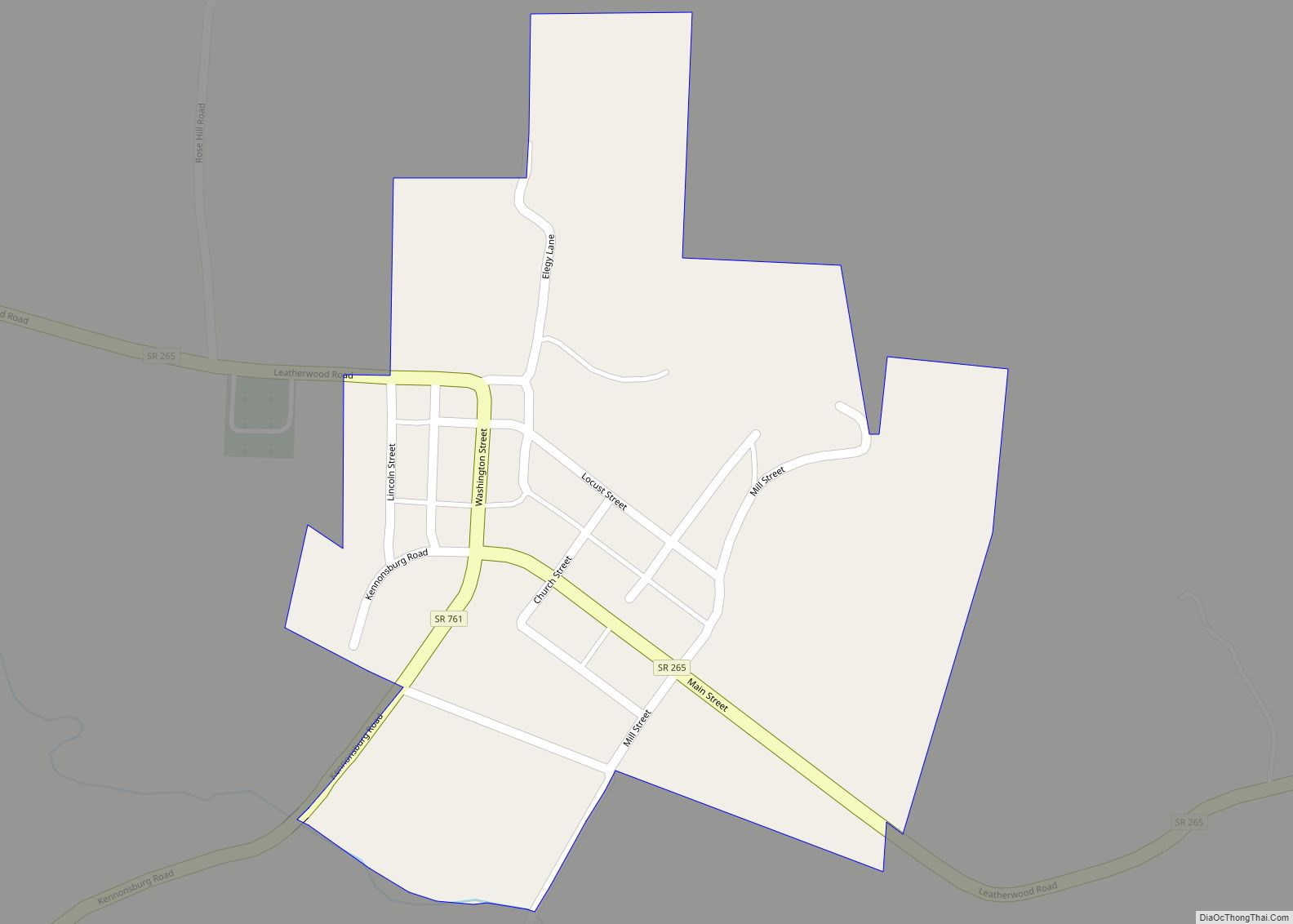
Salesville is a census-designated place and former village in Guernsey County, Ohio, United States. As of the 2020 census, the population was 123, down from 129 at the 2010 census. Its residents voted for dissolution in 2016. Salesville CDP overview: Name: Salesville CDP LSAD Code: 57 LSAD Description: CDP (suffix) State: Ohio County: Guernsey County ... Read more
Map of Salesville CDP, Ohio
Map of Salem city, Ohio
Salem is the largest city in Columbiana County, Ohio, with a small district in southern Mahoning County. At the 2020 census, the city’s population was 11,915. It is the principal city of the Salem micropolitan area, which includes all of Columbiana County. It lies about 18 miles (29 km) southwest of Youngstown, 28 miles (45 km) east ... Read more
Map of Salem city, Ohio
Map of Salem Heights CDP
Salem Heights is a census-designated place (CDP) in Anderson Township, Hamilton County, Ohio, United States, adjacent to the city of Cincinnati. The population of Salem Heights was 3,862 at the 2020 census. Salem Heights CDP overview: Name: Salem Heights CDP LSAD Code: 57 LSAD Description: CDP (suffix) State: Ohio County: Hamilton County Elevation: 725 ft (221 m) ... Read more
Map of Salem Heights CDP
Map of Sabina village
Sabina is a village in Clinton County, Ohio, United States. As of the 2010 census, the village had a total population of 2,564. Sabina village overview: Name: Sabina village LSAD Code: 47 LSAD Description: village (suffix) State: Ohio County: Clinton County Elevation: 1,050 ft (320 m) Total Area: 1.18 sq mi (3.07 km²) Land Area: 1.18 sq mi (3.05 km²) Water Area: 0.01 sq mi ... Read more
Map of Sabina village
Map of Rutland village, Ohio
Rutland is a village in Meigs County, Ohio, United States. The population was 427 at the 2020 census. Rutland village overview: Name: Rutland village LSAD Code: 47 LSAD Description: village (suffix) State: Ohio County: Meigs County Incorporated: 1913 Elevation: 574 ft (175 m) Total Area: 0.87 sq mi (2.26 km²) Land Area: 0.87 sq mi (2.26 km²) Water Area: 0.00 sq mi (0.00 km²) Total Population: ... Read more
Map of Rutland village, Ohio
Map of Russia village
Russia (/ˈruːʃi/ ROO-shee) is a village in Loramie Township, Shelby County, Ohio, United States. The population was 640 at the 2010 census. Russia village overview: Name: Russia village LSAD Code: 47 LSAD Description: village (suffix) State: Ohio County: Shelby County Elevation: 970 ft (300 m) Total Area: 0.88 sq mi (2.27 km²) Land Area: 0.87 sq mi (2.24 km²) Water Area: 0.01 sq mi (0.02 km²) ... Read more
Map of Russia village
Map of Russellville village, Ohio
Russellville is a village in Jefferson Township, Brown County, Ohio, United States. The population was 561 at the 2010 census. Russellville village overview: Name: Russellville village LSAD Code: 47 LSAD Description: village (suffix) State: Ohio County: Brown County Elevation: 961 ft (293 m) Total Area: 0.73 sq mi (1.89 km²) Land Area: 0.73 sq mi (1.89 km²) Water Area: 0.00 sq mi (0.00 km²) Total Population: ... Read more
Map of Russellville village, Ohio
Map of Russells Point village
Russells Point is a village located in northwest Logan County, Ohio, United States. The population was 1,391 at the 2010 census. It is situated on Indian Lake, which had long been a popular summer resort destination. Russells Point village overview: Name: Russells Point village LSAD Code: 47 LSAD Description: village (suffix) State: Ohio County: Logan ... Read more
Map of Russells Point village
Map of Rushville village, Ohio
Rushville is a village in Fairfield County, Ohio, United States. The population was 302 at the 2010 census. Much of the village is listed on the National Register of Historic Places as the Rushville Historic District. Rushville takes its name from Little Rush Creek, which runs between the villages of Rushville and West Rushville. The ... Read more
Map of Rushville village, Ohio
Map of Rushsylvania village
Rushsylvania is a village located in Logan County, Ohio, United States. The population was 516 at the 2010 census. A branch of the Logan County District Library serves the Rushsylvania community. Rushsylvania village overview: Name: Rushsylvania village LSAD Code: 47 LSAD Description: village (suffix) State: Ohio County: Logan County Elevation: 1,237 ft (377 m) Total Area: 0.79 sq mi ... Read more
Map of Rushsylvania village
Map of Sardis CDP, Ohio
Sardis is a census-designated place (CDP) in southeastern Lee Township, Monroe County, Ohio, United States. It is unincorporated, but has a post office with the ZIP code of 43946. As of the 2010 census, it had a population of 559. Sardis is at the intersection of Ohio State Routes 7 and 255, lying between Duffy ... Read more
Map of Sardis CDP, Ohio
Map of Sardinia village
Sardinia is a village in Brown and Highland counties in the U.S. state of Ohio. The population was 980 at the 2010 census. Sardinia village overview: Name: Sardinia village LSAD Code: 47 LSAD Description: village (suffix) State: Ohio County: Brown County, Highland County Elevation: 958 ft (292 m) Total Area: 1.75 sq mi (4.54 km²) Land Area: 1.75 sq mi (4.54 km²) Water ... Read more
Map of Sardinia village