Map of Los Lobos CDP
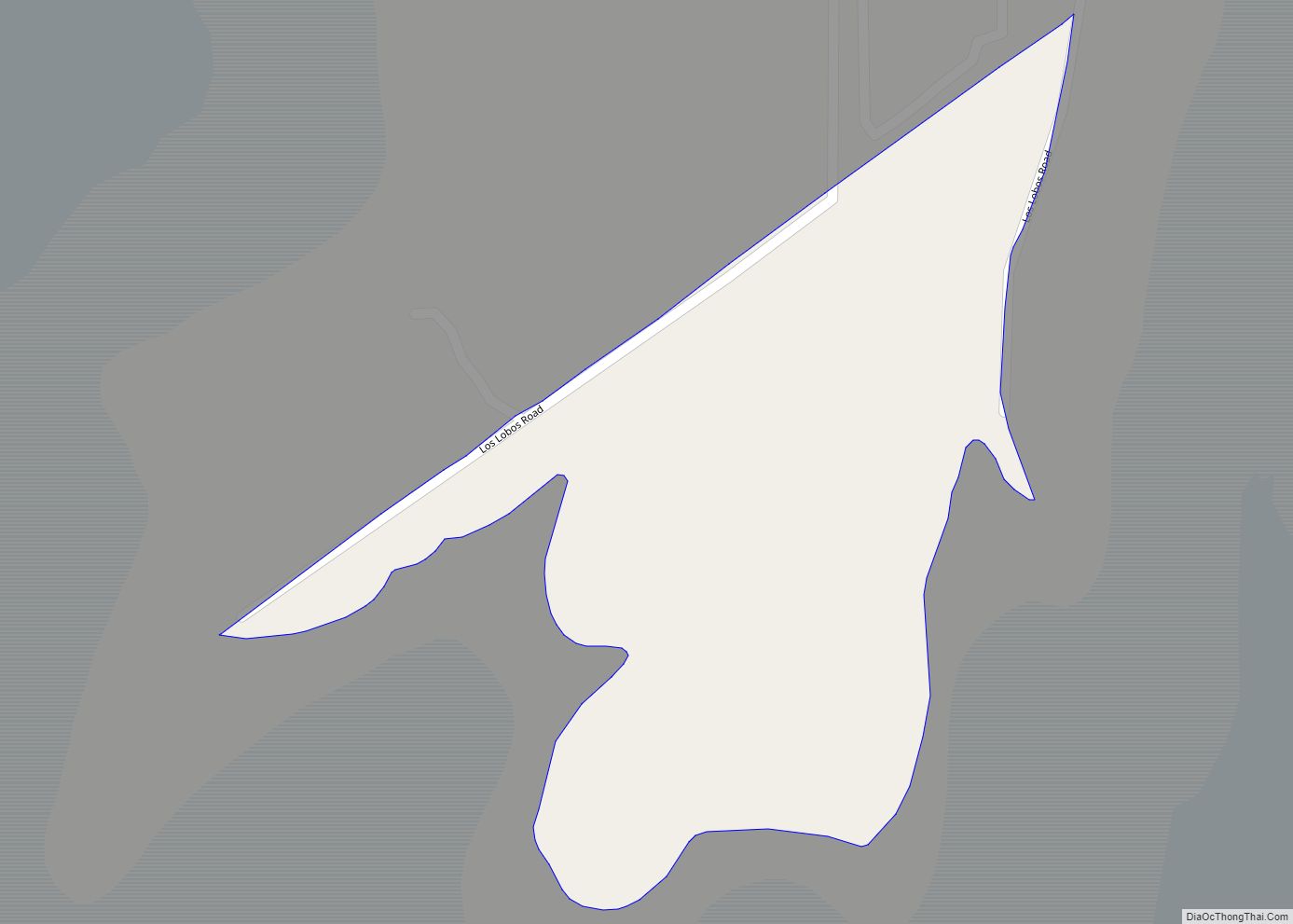
Los Lobos is a census-designated place (CDP) in Zapata County, Texas, United States. This was a new CDP for the 2010 census with a population of 9. Los Lobos CDP overview: Name: Los Lobos CDP LSAD Code: 57 LSAD Description: CDP (suffix) State: Texas County: Zapata County Total Area: 0.1 sq mi (0.3 km²) Land Area: 0.1 sq mi (0.3 km²) ... Read more
Map of Los Lobos CDP
Map of Los Indios town
Los Indios is a U.S. border town in Cameron County, Texas. The population was 1,008 at the 2020 census. It is included as part of the Brownsville–Harlingen–Raymondville and the Matamoros–Brownsville metropolitan areas. The Free Trade International Bridge connects Los Indios with Matamoros, Tamaulipas. Los Indios town overview: Name: Los Indios town LSAD Code: 43 LSAD ... Read more
Map of Los Indios town
Map of Los Huisaches CDP
Los Huisaches is a census-designated place (CDP) in Webb County, Texas, United States. This was a new CDP for the 2010 census with a population of 17. It is one of several colonias in the county. Los Huisaches CDP overview: Name: Los Huisaches CDP LSAD Code: 57 LSAD Description: CDP (suffix) State: Texas County: Webb ... Read more
Map of Los Huisaches CDP
Map of Los Fresnos CDP
Los Fresnos is a census-designated place (CDP) in Webb County, Texas, United States. This was a new CDP for the 2010 census with a population of 67. Los Fresnos CDP overview: Name: Los Fresnos CDP LSAD Code: 57 LSAD Description: CDP (suffix) State: Texas County: Webb County Elevation: 617 ft (188 m) Total Area: 0.2 sq mi (0.5 km²) Land ... Read more
Map of Los Fresnos CDP
Map of Los Ebanos CDP
Los Ebanos is a census-designated place (CDP) in Starr County, Texas, United States. It is a new CDP formed from part of the La Rosita CDP prior to the 2010 census with a population of 280. Los Ebanos CDP overview: Name: Los Ebanos CDP LSAD Code: 57 LSAD Description: CDP (suffix) State: Texas County: Starr ... Read more
Map of Los Ebanos CDP
Map of Los Corralitos CDP
Los Corralitos is a census-designated place (CDP) in Webb County, Texas, United States. This was a new CDP for the 2010 census with a population of 35. Los Corralitos CDP overview: Name: Los Corralitos CDP LSAD Code: 57 LSAD Description: CDP (suffix) State: Texas County: Webb County Elevation: 492 ft (150 m) Total Area: 35 FIPS code: ... Read more
Map of Los Corralitos CDP
Map of Los Centenarios CDP
Los Centenarios is a census-designated place (CDP) in Webb County, Texas, United States. This was a new CDP for the 2010 census with a population of 87. Los Centenarios CDP overview: Name: Los Centenarios CDP LSAD Code: 57 LSAD Description: CDP (suffix) State: Texas County: Webb County Elevation: 617 ft (188 m) Total Area: 0.2 sq mi (0.5 km²) Land ... Read more
Map of Los Centenarios CDP
Map of Los Barreras CDP
Los Barreras is a census-designated place (CDP) in Starr County, Texas, United States. It is a new CDP formed from part of the La Rosita CDP prior to the 2010 census with a population of 288. Los Barreras CDP overview: Name: Los Barreras CDP LSAD Code: 57 LSAD Description: CDP (suffix) State: Texas County: Starr ... Read more
Map of Los Barreras CDP
Map of Los Arrieros CDP
Los Arrieros is an unincorporated community and census-designated place in Starr County, Texas, United States. Its population was 91 as of the 2010 census. U.S. Route 83 passes through the community. Los Arrieros CDP overview: Name: Los Arrieros CDP LSAD Code: 57 LSAD Description: CDP (suffix) State: Texas County: Starr County Elevation: 302 ft (92 m) Total ... Read more
Map of Los Arrieros CDP
Map of Los Minerales CDP
Los Minerales is a census-designated place (CDP) in Webb County, Texas, United States. This was a new CDP formed from parts of the Ranchos Penitas West CDP and additional area prior to the 2010 census with a population of 20. It is one of several colonias in the county. Los Minerales CDP overview: Name: Los ... Read more
Map of Los Minerales CDP
Map of Lozano CDP
Lozano is a census-designated place (CDP) in Cameron County, Texas, United States. The population was 404 at the 2010 census, up from 324 at the 2000 census. It is part of the Brownsville–Harlingen Metropolitan Statistical Area. Lozano CDP overview: Name: Lozano CDP LSAD Code: 57 LSAD Description: CDP (suffix) State: Texas County: Cameron County Elevation: ... Read more
Map of Lozano CDP
Map of Lowry Crossing city
Lowry Crossing is a city in Collin County, Texas, United States. The population was 1,711 at the 2010 census. Lowry Crossing city overview: Name: Lowry Crossing city LSAD Code: 25 LSAD Description: city (suffix) State: Texas County: Collin County Elevation: 512 ft (156 m) Total Area: 2.60 sq mi (6.74 km²) Land Area: 2.59 sq mi (6.72 km²) Water Area: 0.01 sq mi (0.02 km²) Total ... Read more
Map of Lowry Crossing city