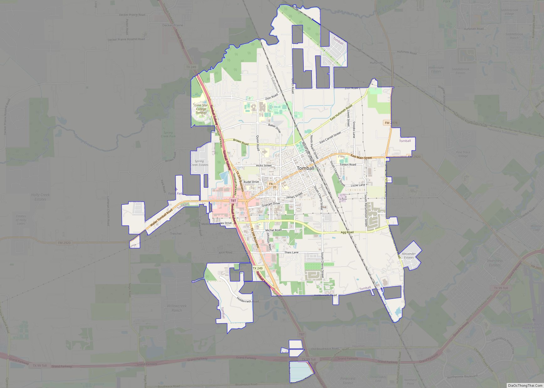
Tomball (/ˈtɒmbɔːl/ TOM-bawl) is a city in Harris County in the U.S. state of Texas, a part of the Houston metropolitan area. The population was 12,341 at the 2020 U.S. census. In 1907, the community of Peck was renamed Tomball for local congressman Thomas Henry Ball, who had a major role in the development of ... Read more
Map of US Cities and Places
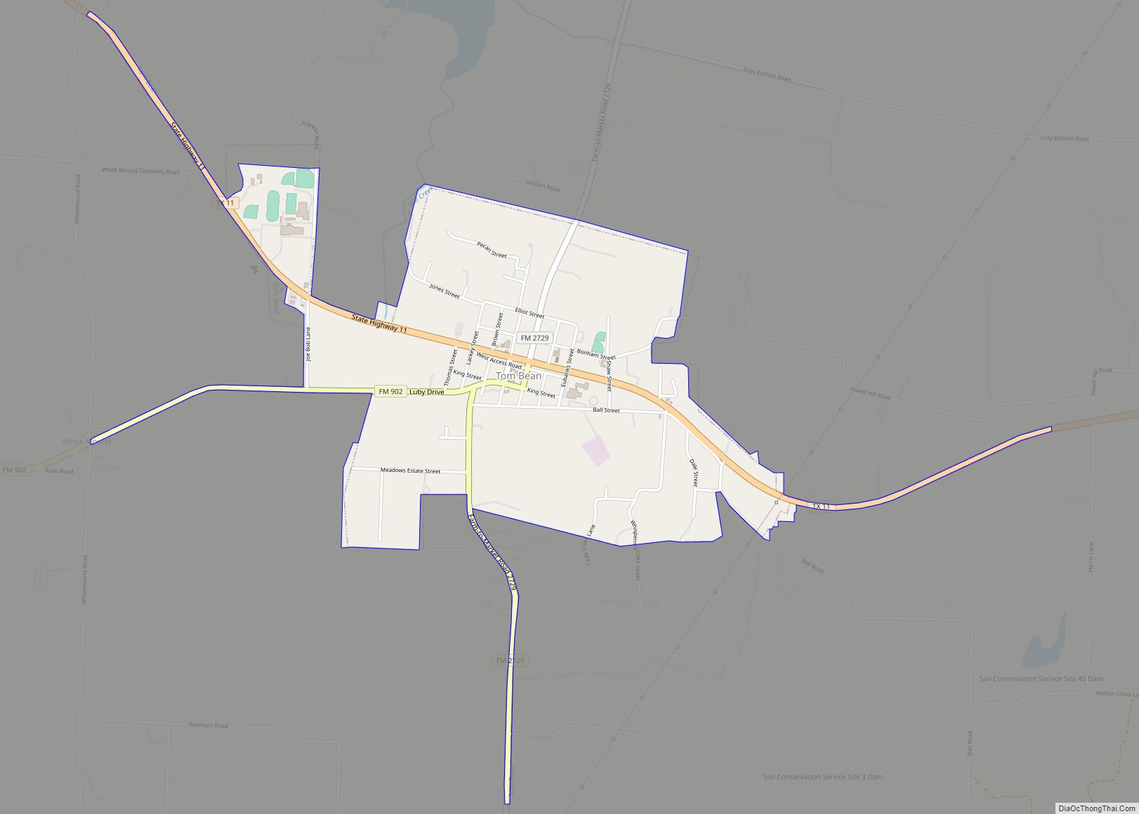
Tom Bean is a city in Grayson County, Texas, United States. The population was 1,045 at the 2010 census, up from 941 at the 2000 census. Tom Bean is part of the Sherman–Denison Metropolitan Statistical Area. Tom Bean city overview: Name: Tom Bean city LSAD Code: 25 LSAD Description: city (suffix) State: Texas County: Grayson ... Read more
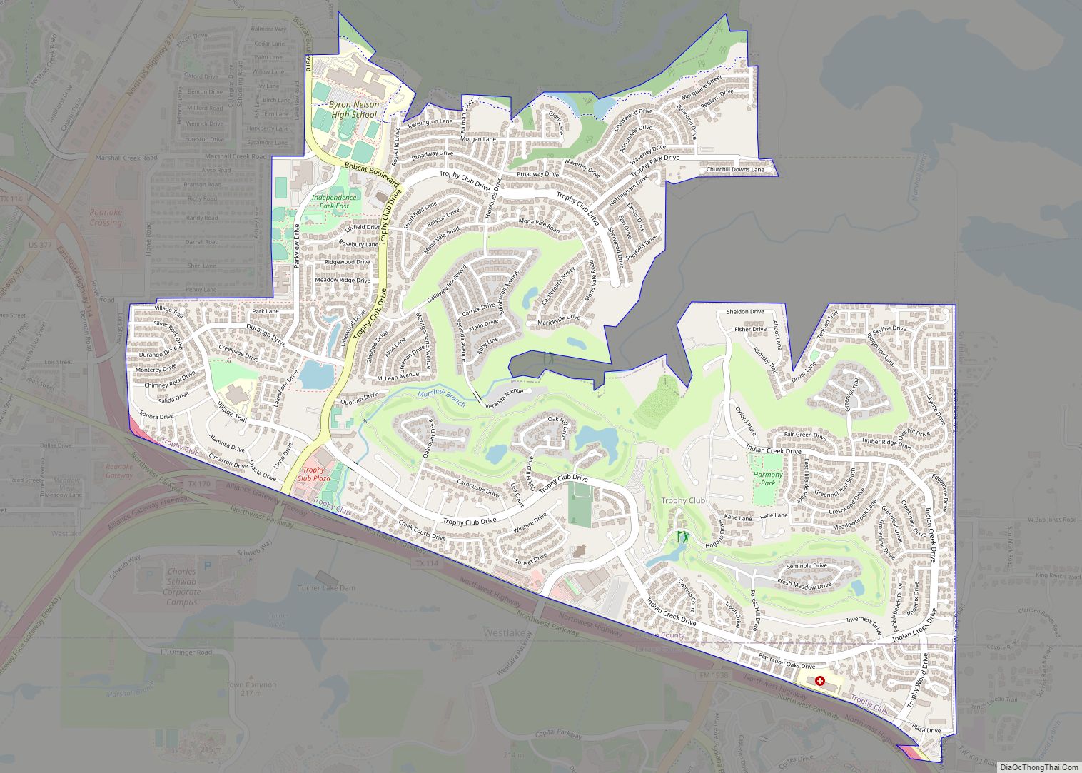
Trophy Club is a suburb of the Dallas–Fort Worth metroplex in the U.S. state of Texas. When established in the 1970s, it was one of the earliest premier planned communities in Texas, built around the only golf course designed by Ben Hogan. It is located west of the DFW Airport and south of the western ... Read more
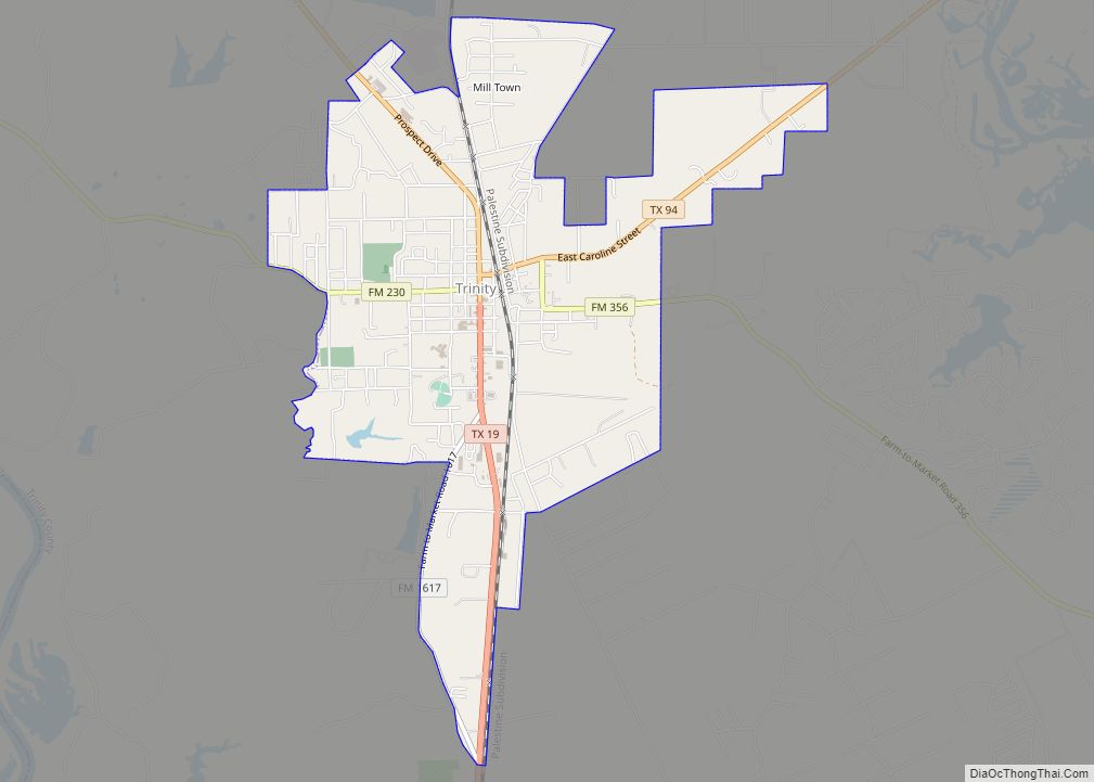
Trinity is a city in Trinity County, Texas, United States. The population was 2,343 at the 2020 census. Trinity city overview: Name: Trinity city LSAD Code: 25 LSAD Description: city (suffix) State: Texas County: Trinity County Elevation: 233 ft (71 m) Total Area: 3.79 sq mi (9.82 km²) Land Area: 3.79 sq mi (9.82 km²) Water Area: 0.00 sq mi (0.00 km²) Total Population: 2,343 Population ... Read more
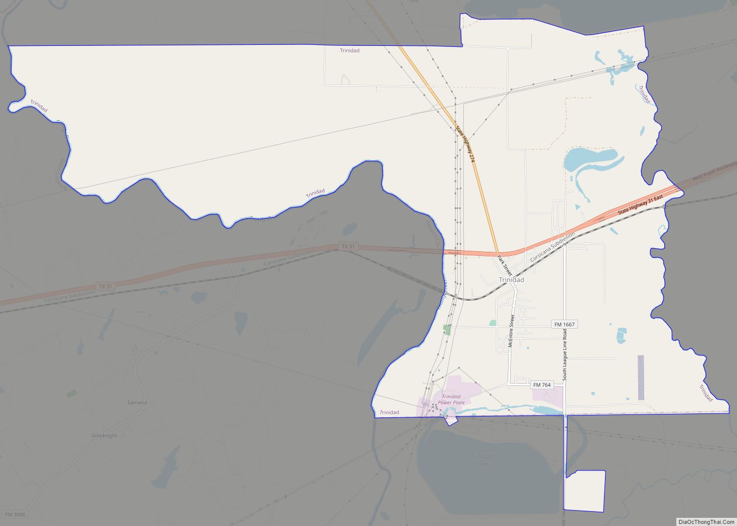
Trinidad is a city in Henderson County, Texas, United States, near the Trinity River from which the town’s name was derived. The population was 860 at the 2020 census, down from 886 at the 2010 census. During the Spanish Texas period, the town was known as Santísima Trinidad de Salcedo. (See Gutiérrez–Magee Expedition.) Trinidad city ... Read more
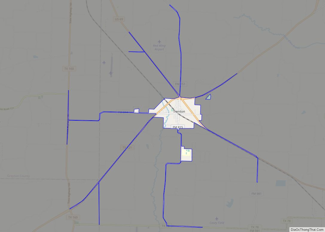
Trenton is a city in Fannin and Grayson counties, Texas, United States. The population was 635 at the 2010 census. Trenton city overview: Name: Trenton city LSAD Code: 25 LSAD Description: city (suffix) State: Texas County: Fannin County Elevation: 761 ft (232 m) Total Area: 1.88 sq mi (4.85 km²) Land Area: 1.87 sq mi (4.85 km²) Water Area: 0.00 sq mi (0.00 km²) Total Population: ... Read more
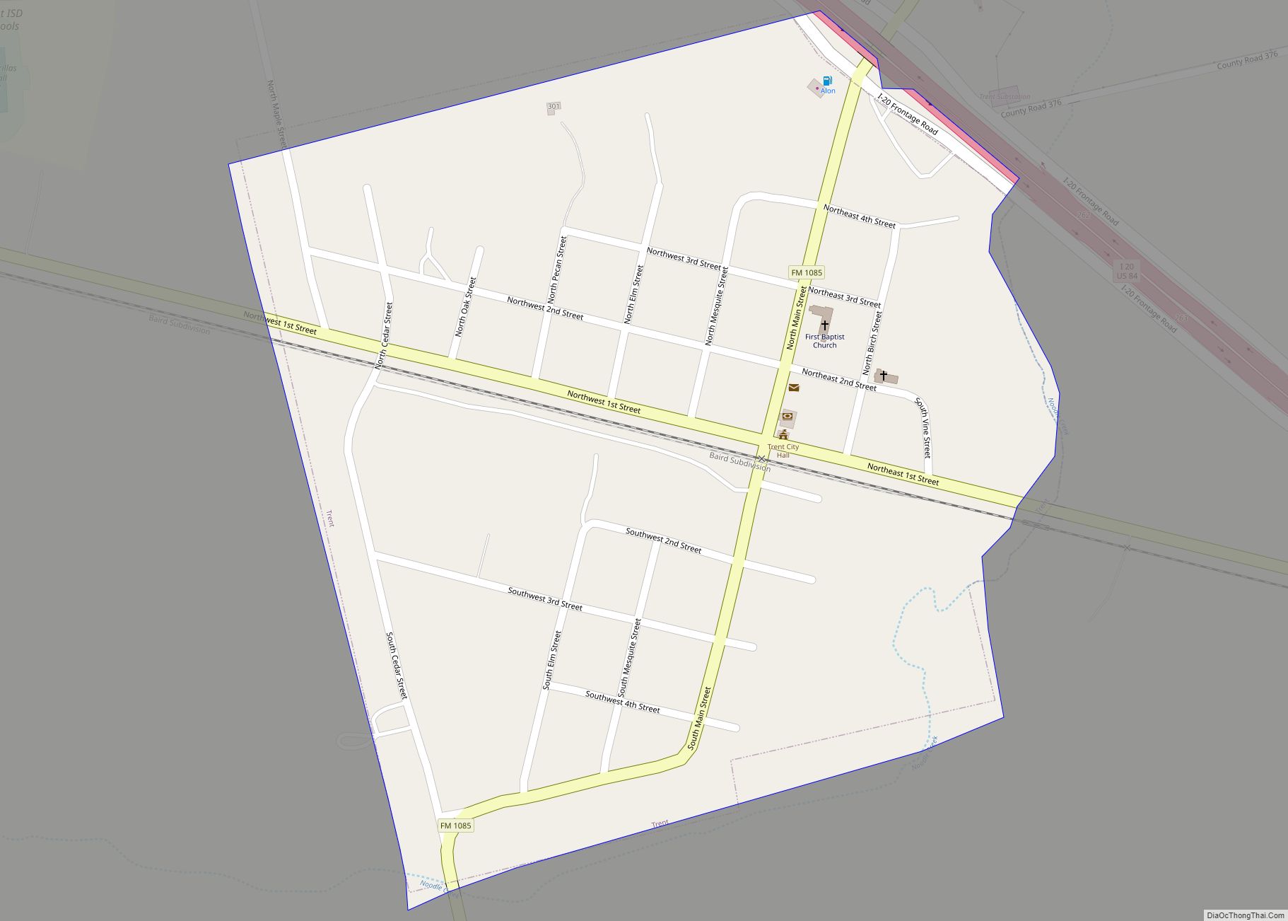
Trent is a town in Taylor County, Texas, United States that was established in 1881. The population was 337 at the 2010 census. It is part of the Abilene, Texas Metropolitan Statistical Area. Trent, Texas was named in honor of West Texas pioneer and cattleman, Isaac Riley Trent. Trent town overview: Name: Trent town LSAD ... Read more
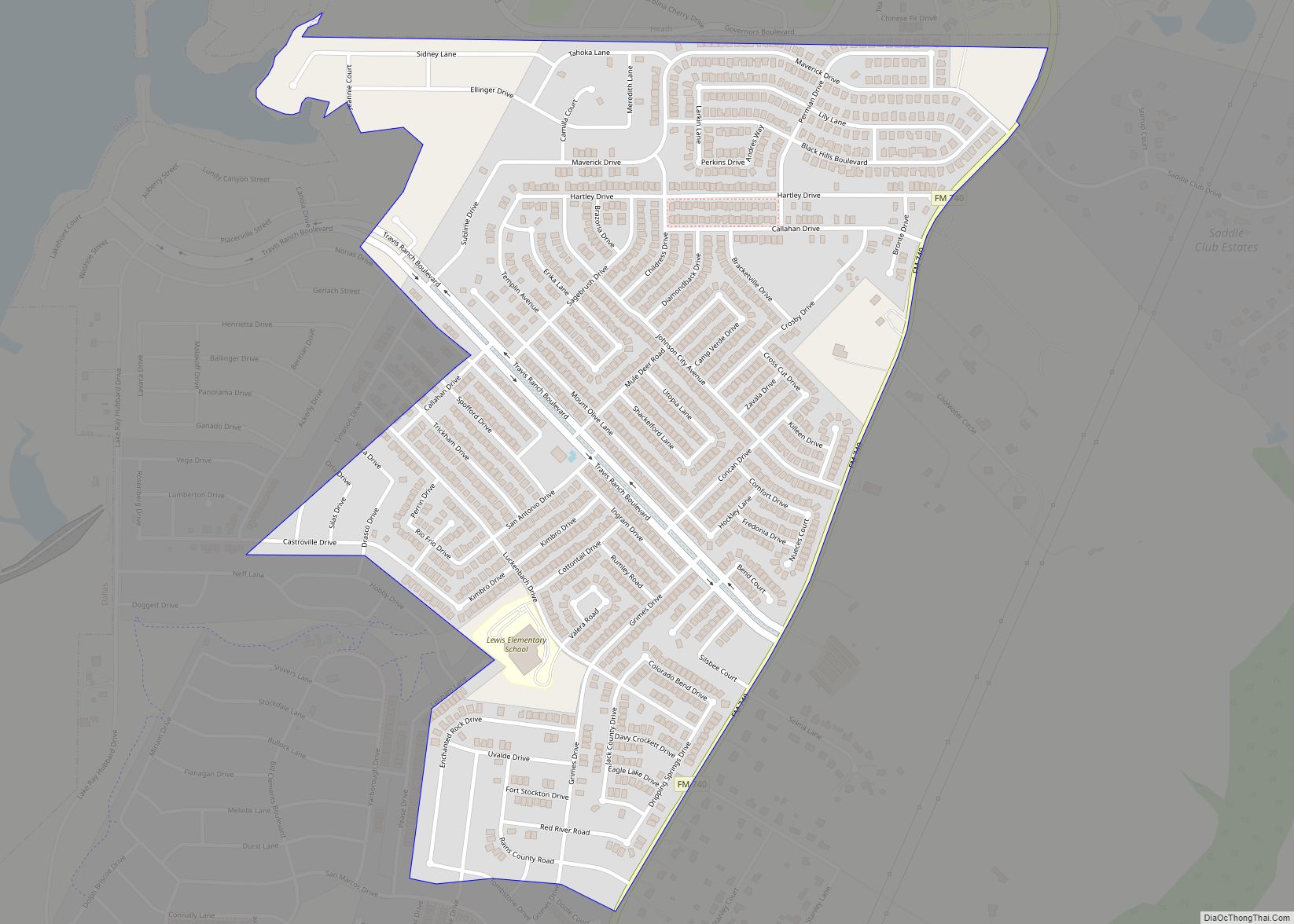
Travis Ranch is a census-designated place (CDP) in Kaufman County, Texas, United States. Its population was 2,556 at the 2010 census. It is part of the Dallas–Fort Worth–Arlington metropolitan area. The community is in the northwest corner of Kaufman County, about 10 miles (16 km) northeast of Mesquite and 15 miles (24 km) northwest of Terrell. It ... Read more
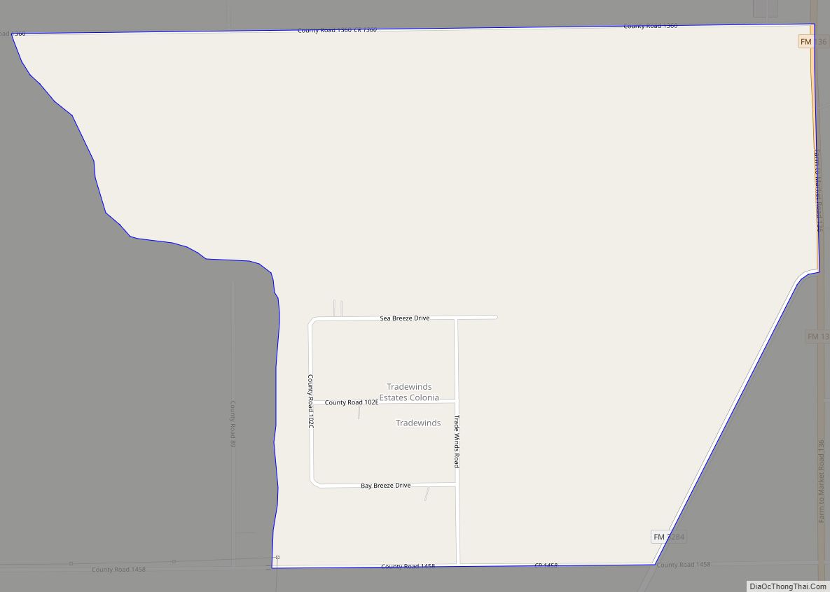
Tradewinds is a census-designated place (CDP) in San Patricio County, Texas, United States. The population was 180 at the 2010 census. Tradewinds CDP overview: Name: Tradewinds CDP LSAD Code: 57 LSAD Description: CDP (suffix) State: Texas County: San Patricio County Elevation: 20 ft (6 m) Total Area: 1.1 sq mi (2.8 km²) Land Area: 1.1 sq mi (2.8 km²) Water Area: 0.0 sq mi (0.0 km²) ... Read more
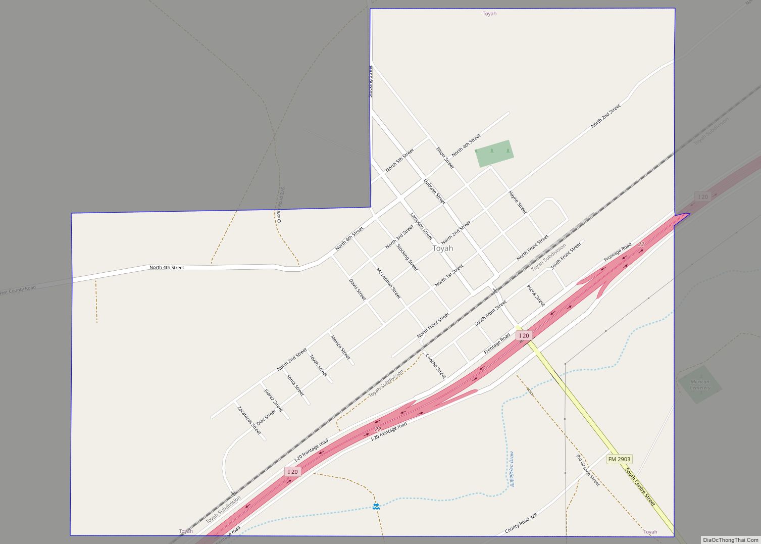
Toyah is a town in Reeves County, Texas, United States. The population was 90 at the 2010 census. Toyah town overview: Name: Toyah town LSAD Code: 43 LSAD Description: town (suffix) State: Texas County: Reeves County Elevation: 2,913 ft (888 m) Total Area: 1.62 sq mi (4.20 km²) Land Area: 1.62 sq mi (4.20 km²) Water Area: 0.00 sq mi (0.00 km²) Total Population: 90 Population ... Read more
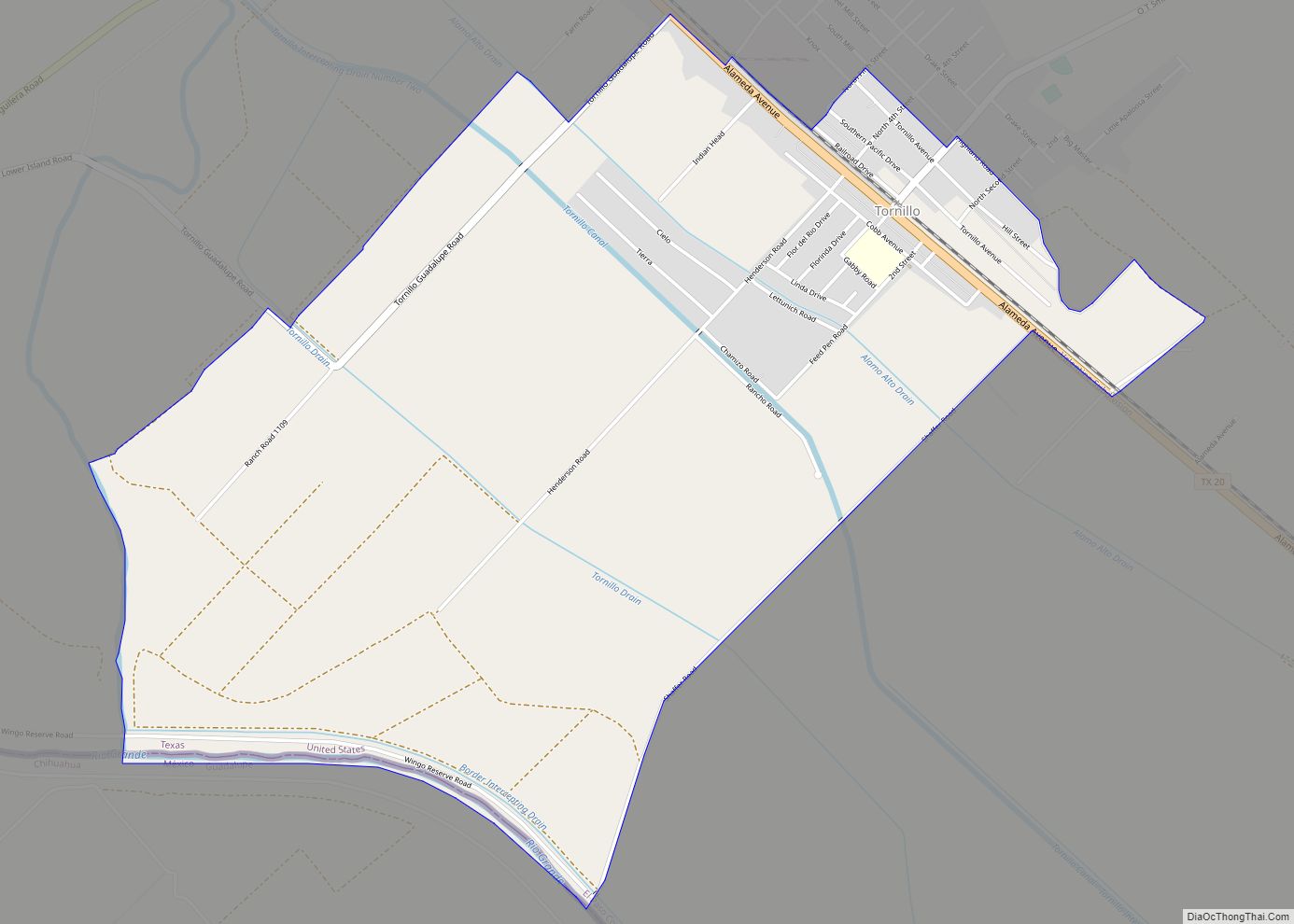
Tornillo (/tɔːrˈniːjoʊ/ tor-NEE-yoh) is a census-designated place (CDP) and border town in El Paso County, Texas, United States. The population was 1,568 at the 2010 census. It is part of the El Paso Metropolitan Statistical Area. The Tornillo and Guadalupe, Chihuahua, area is connected by the Tornillo-Guadalupe Bridge. The town is the home of Sonic ... Read more
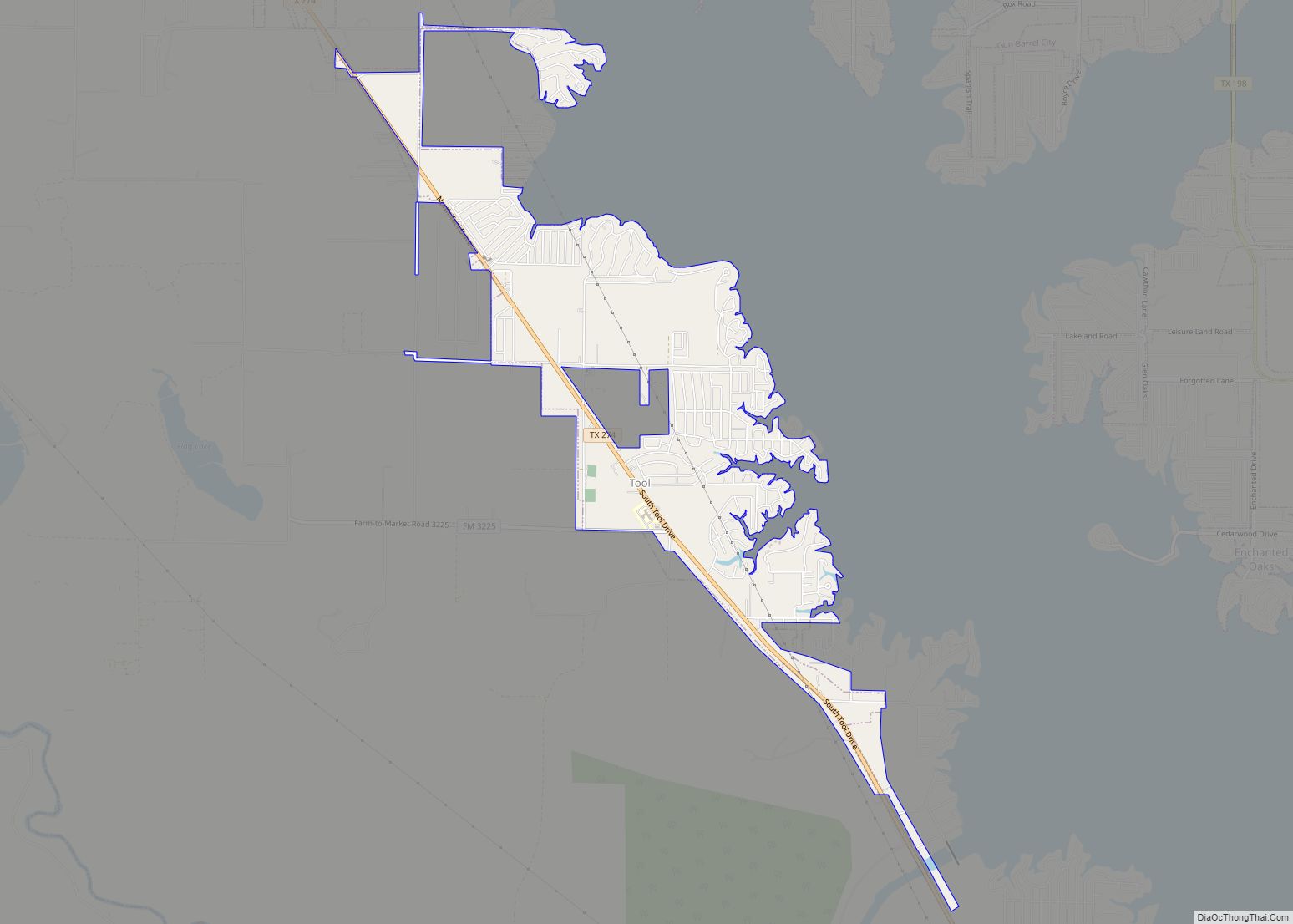
Tool is a city in Henderson County, Texas, United States. The population was 2,175 at the 2020 census. Located on the west side of Cedar Creek Lake, it is a popular second home and retiree destination. Tool city overview: Name: Tool city LSAD Code: 25 LSAD Description: city (suffix) State: Texas County: Henderson County Elevation: ... Read more
