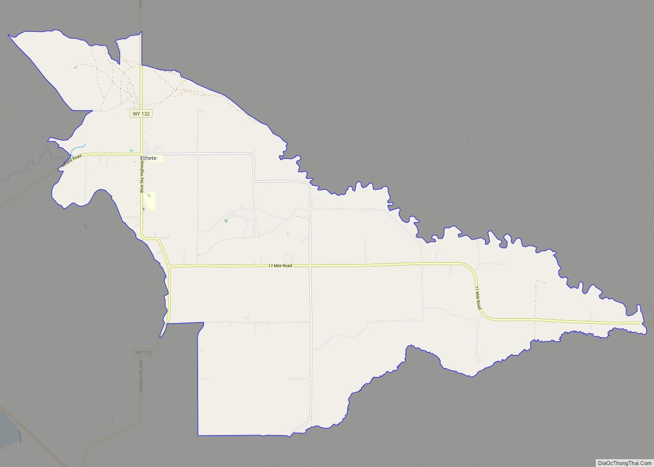
Ethete (Arapaho: Koonoutoseii’) is a census-designated place (CDP) in Fremont County, Wyoming, United States. The population was 1,553 at the 2010 census. The town is located on the Wind River Indian Reservation. It grew up around the Episcopal St. Michael’s Mission. Ethete CDP overview: Name: Ethete CDP LSAD Code: 57 LSAD Description: CDP (suffix) State: ... Read more
Map of US Cities and Places
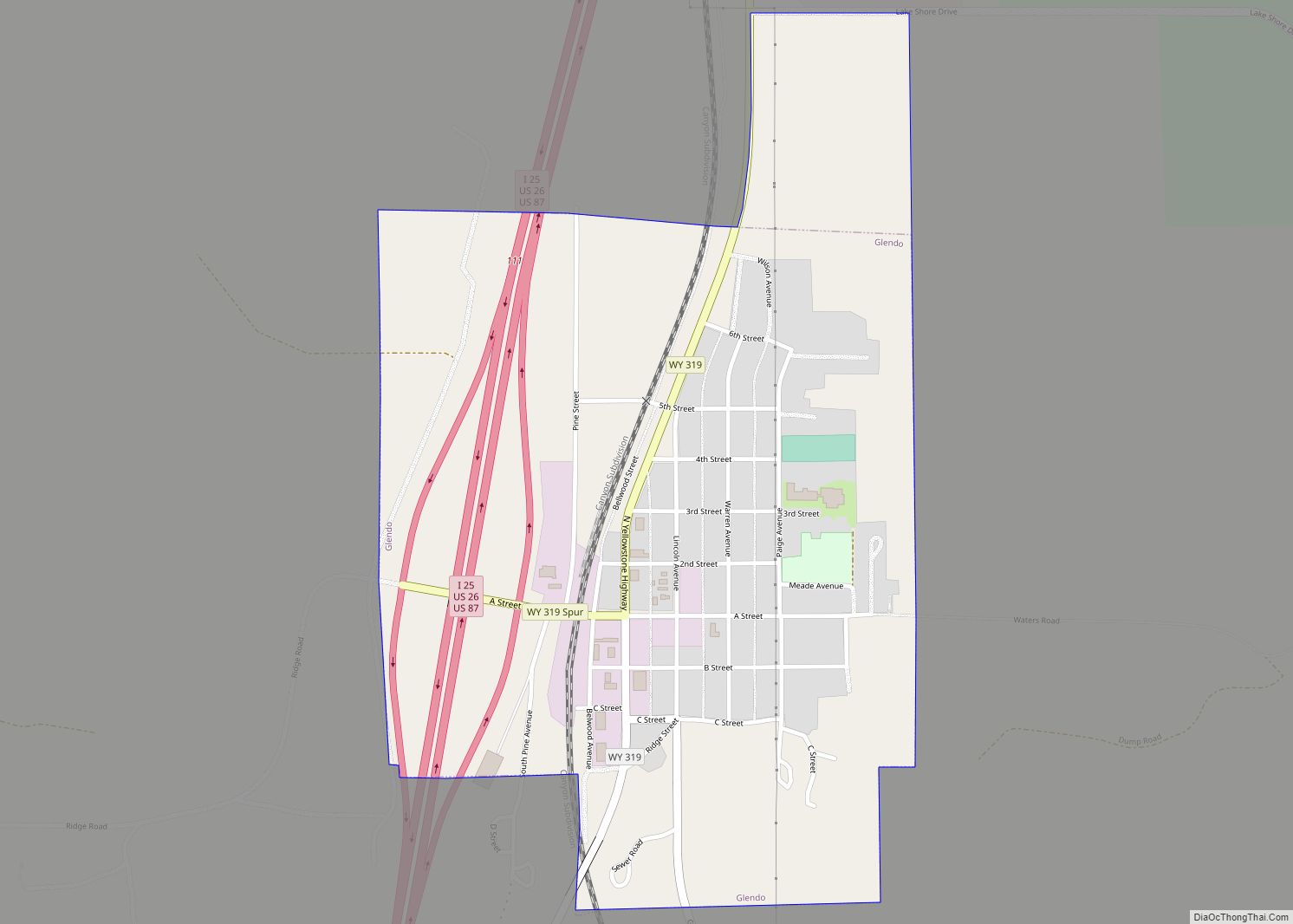
Glendo is a town in Platte County, Wyoming, United States. The population was 205 at the 2010 census. Glendo town overview: Name: Glendo town LSAD Code: 43 LSAD Description: town (suffix) State: Wyoming County: Platte County Elevation: 4,724 ft (1,440 m) Total Area: 0.59 sq mi (1.53 km²) Land Area: 0.59 sq mi (1.53 km²) Water Area: 0.00 sq mi (0.00 km²) Total Population: 205 Population ... Read more
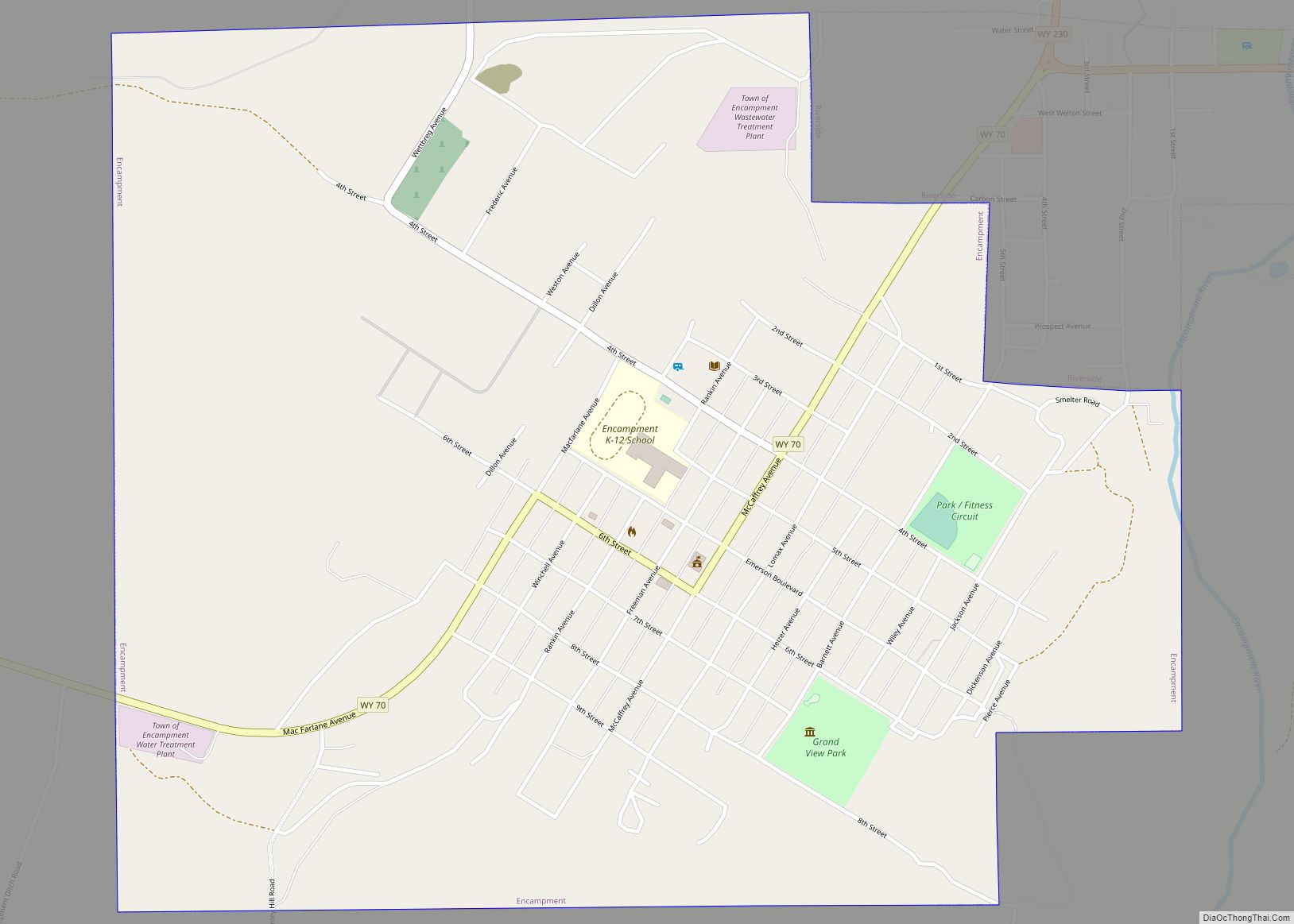
Encampment (also known as Grand Encampment) is a town in southern Carbon County, Wyoming, United States. The population was 450 at the 2010 census. Encampment town overview: Name: Encampment town LSAD Code: 43 LSAD Description: town (suffix) State: Wyoming County: Carbon County Elevation: 7,277 ft (2,218 m) Total Area: 1.60 sq mi (4.14 km²) Land Area: 1.60 sq mi (4.14 km²) Water Area: ... Read more
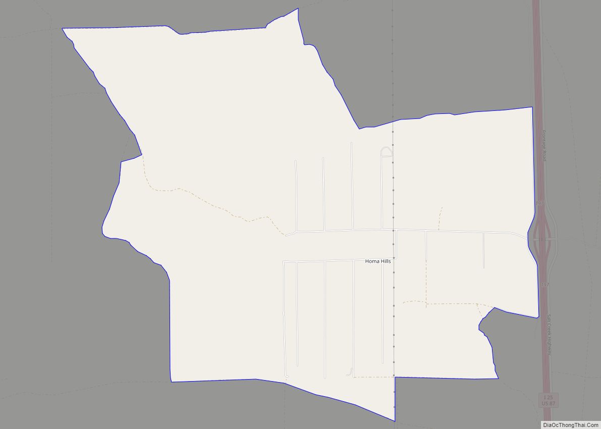
Homa Hills is a census-designated place (CDP) in Natrona County, Wyoming, United States. It is part of the Casper, Wyoming Metropolitan Statistical Area. The population was 278 at the 2010 census. Homa Hills CDP overview: Name: Homa Hills CDP LSAD Code: 57 LSAD Description: CDP (suffix) State: Wyoming County: Natrona County Elevation: 5,299 ft (1,615 m) Total ... Read more
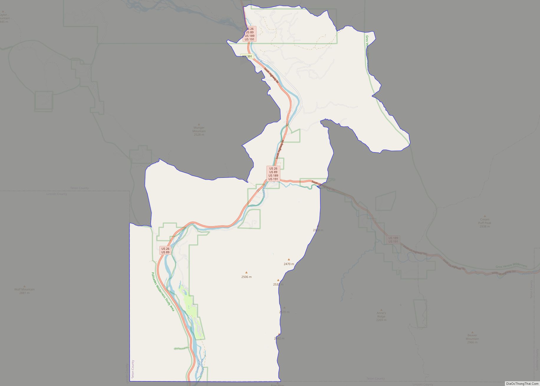
Hoback is a census-designated place (CDP) in Teton County, Wyoming, United States. The population was 1,176 at the 2010 census. It is part of the Jackson, WY–ID Micropolitan Statistical Area. The town is named for John Hoback, a mountain man who guided the Astor party through the area in 1811. Hoback CDP overview: Name: Hoback ... Read more
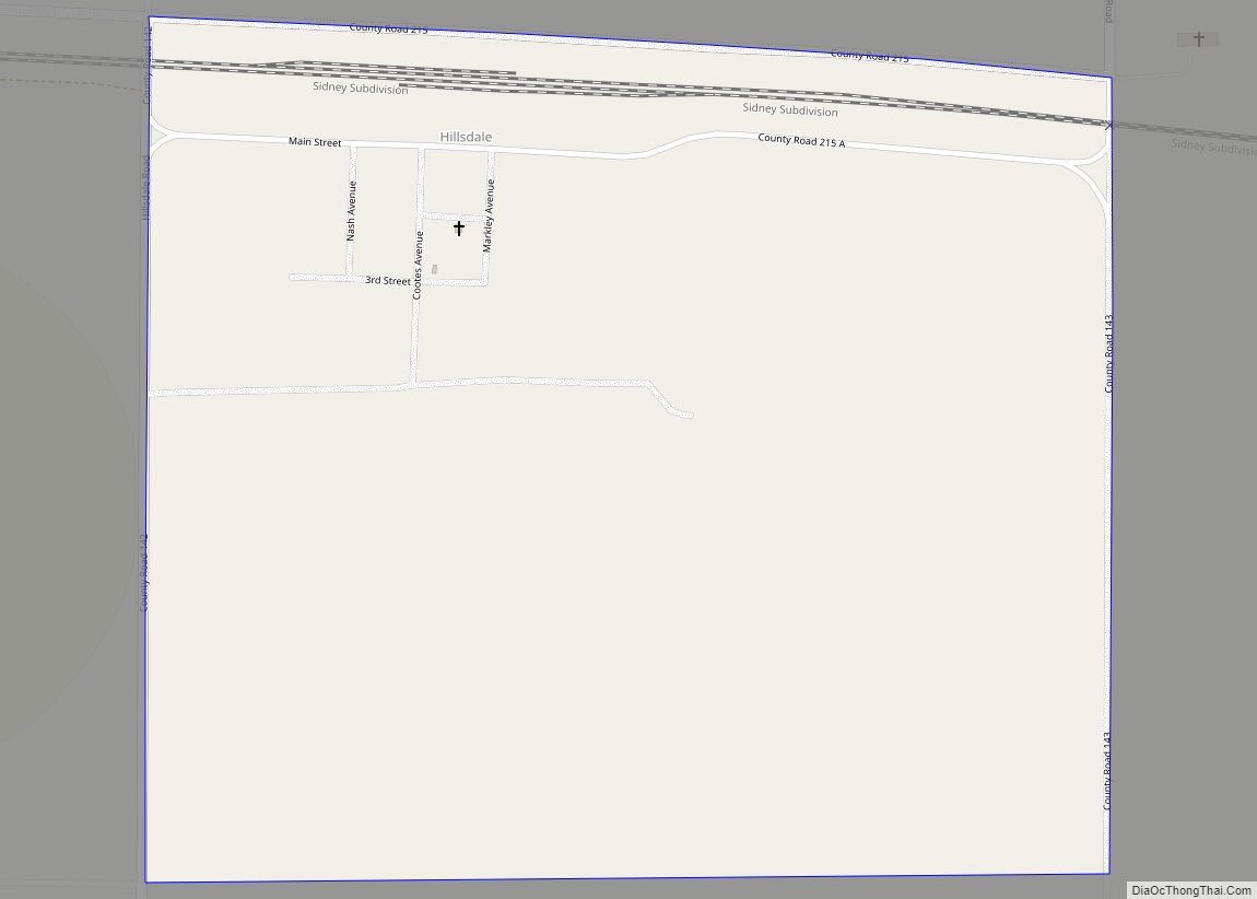
Hillsdale is an unincorporated community and census-designated place in southeastern Laramie County, Wyoming, United States. As of the 2010 census, it had a population of 47. It lies along local roads east of the city of Cheyenne, the county seat of Laramie County. Its elevation is 5,640 feet (1,720 m) above sea level. Although Hillsdale is ... Read more
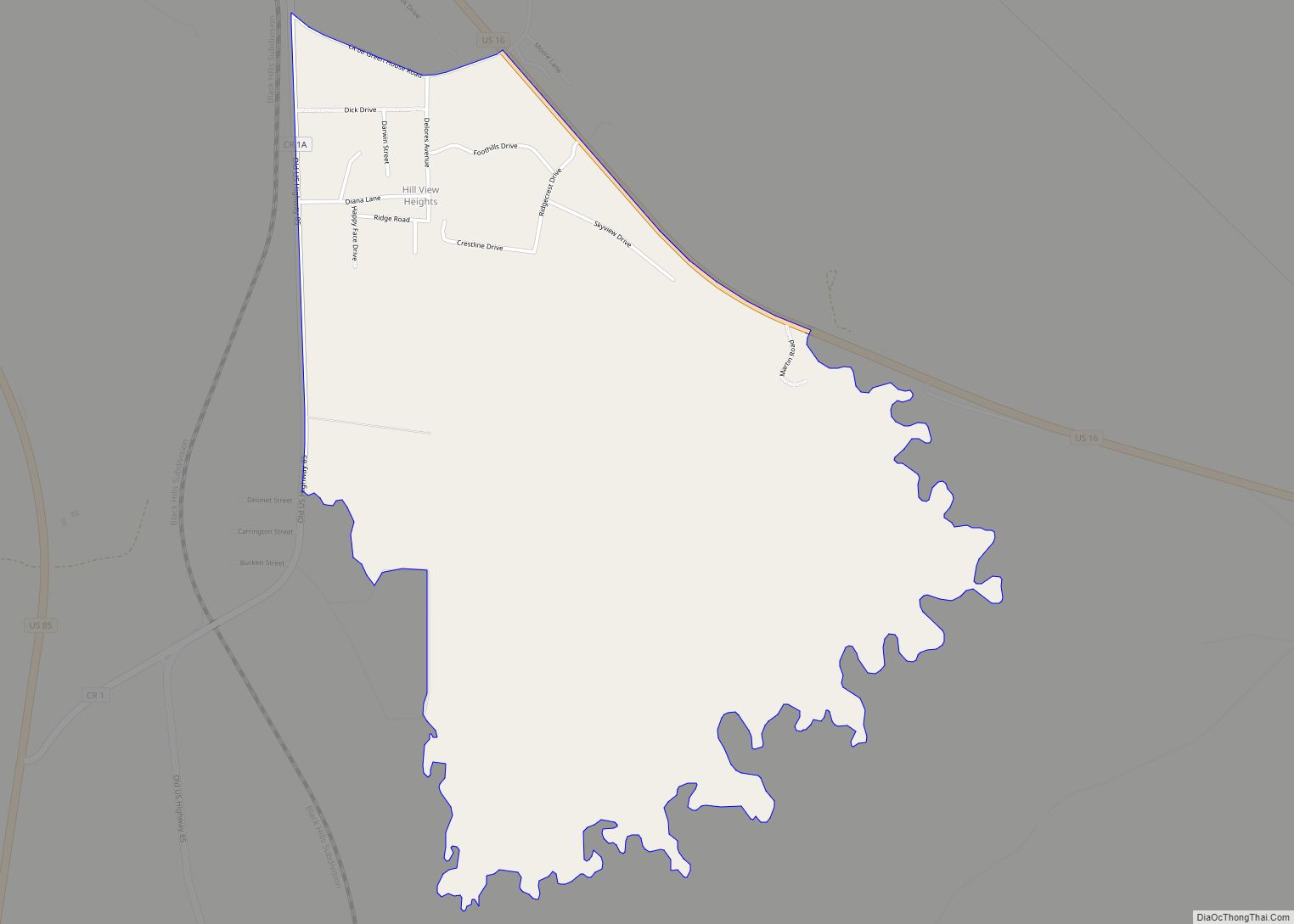
Hill View Heights is a census-designated place (CDP) in Weston County, Wyoming, United States. The population was 170 at the 2010 census. Hill View Heights CDP overview: Name: Hill View Heights CDP LSAD Code: 57 LSAD Description: CDP (suffix) State: Wyoming County: Weston County Elevation: 4,344 ft (1,324 m) Total Area: 2.2 sq mi (5.7 km²) Land Area: 2.2 sq mi (5.7 km²) ... Read more
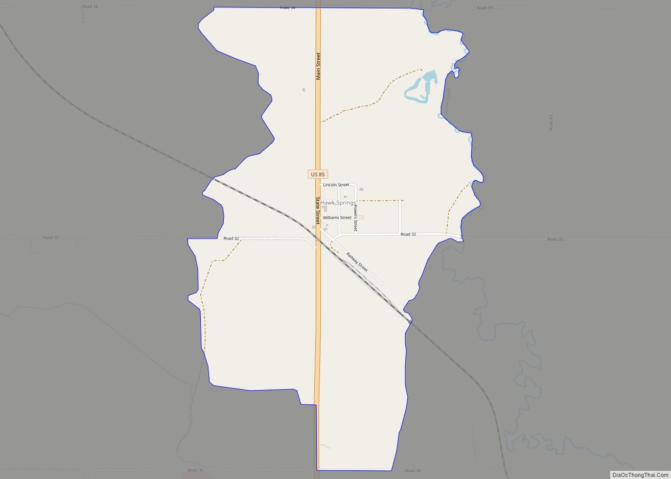
Hawk Springs is a census-designated place (CDP) in Goshen County, Wyoming, United States. The population was 45 at the 2010 census. Hawk Springs State Recreation Area is located 6 miles (9.7 km) southeast of Hawk Springs. Hawk Springs CDP overview: Name: Hawk Springs CDP LSAD Code: 57 LSAD Description: CDP (suffix) State: Wyoming County: Goshen County ... Read more
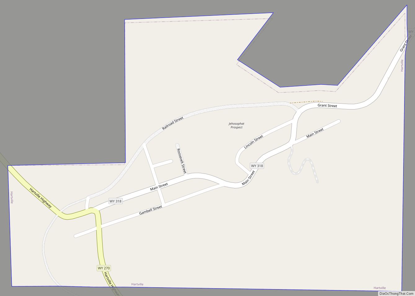
Hartville is a town in Platte County, Wyoming, United States. The population was 62 at the 2010 census. Hartville town overview: Name: Hartville town LSAD Code: 43 LSAD Description: town (suffix) State: Wyoming County: Platte County Elevation: 4,682 ft (1,427 m) Total Area: 0.26 sq mi (0.67 km²) Land Area: 0.26 sq mi (0.67 km²) Water Area: 0.00 sq mi (0.00 km²) Total Population: 62 Population ... Read more
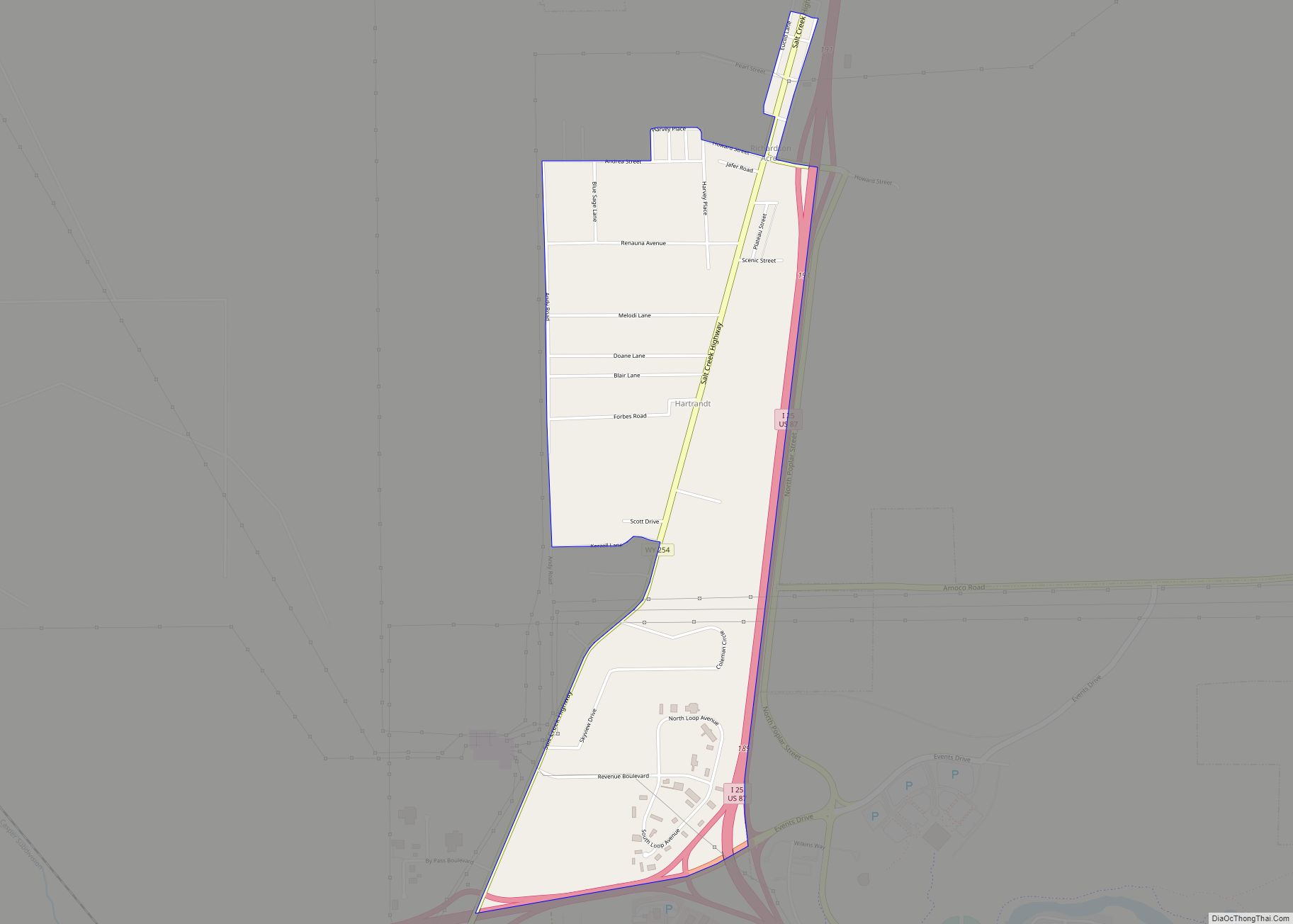
Hartrandt is a census-designated place (CDP) in Natrona County, Wyoming, United States. It is part of the Casper, Wyoming Metropolitan Statistical Area and the population was 693 at the 2010 census. Hartrandt CDP overview: Name: Hartrandt CDP LSAD Code: 57 LSAD Description: CDP (suffix) State: Wyoming County: Natrona County Elevation: 5,285 ft (1,611 m) Total Area: 1.56 sq mi ... Read more
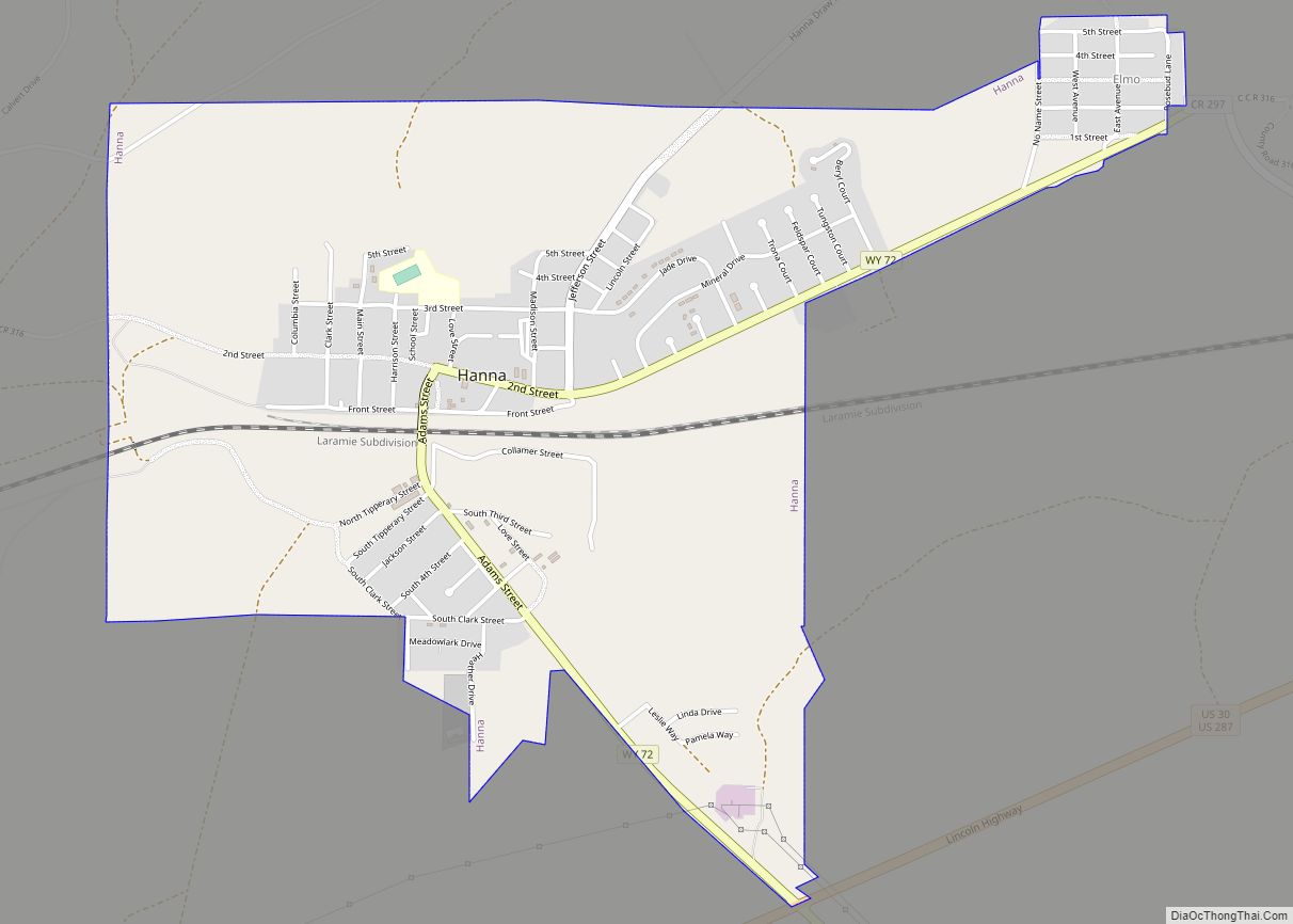
Hanna is a town in Carbon County, Wyoming, United States. The population was 683 at the 2020 census. The town was started as a coal supply location for the Union Pacific Railroad. Much of the old town is built on top of the former workings of the Hanna No. 4 mine. On December 18, 1979, the ... Read more
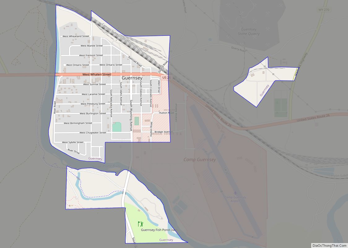
Guernsey is a town in Platte County, Wyoming, United States. The population was 1,147 at the 2010 census. The town was named for C. A. Guernsey, a cattle rancher. Guernsey town overview: Name: Guernsey town LSAD Code: 43 LSAD Description: town (suffix) State: Wyoming County: Platte County Elevation: 4,354 ft (1,327 m) Total Area: 1.04 sq mi (2.69 km²) Land ... Read more
