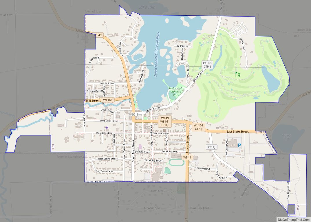
Map of South Charleston city, West Virginia

Map of South Charleston city, West Virginia

South Charleston is a city in Kanawha County, West Virginia, United States. It is located to the west of the state capital of Charleston. The population was 13,639 at the 2020 census. It was established in 1906, but not incorporated until 1917. The Criel Mound built circa 0 B.C. by the Adena culture is adjacent … Read more

Map of Teays Valley CDP

Map of Teays Valley CDP

Teays Valley (/ˈteɪz/ TAYZ) is a census-designated place in Putnam County, West Virginia, United States. The population was 14,350 at the 2020 census. Located about 18 miles (29 km) west of Charleston and 28 miles (45 km) east of Huntington, it is part of the Huntington–Ashland metropolitan area. The community is divided by the two magisterial districts … Read more

Map of Sophia town

Map of Sophia town

Sophia is a town in Raleigh County, West Virginia, United States. It was incorporated in 1912. The population was 1,124 at the 2020 census. Sophia town overview: Name: Sophia town LSAD Code: 43 LSAD Description: town (suffix) State: West Virginia County: Raleigh County Elevation: 2,320 ft (707 m) Total Area: 0.70 sq mi (1.81 km²) Land Area: 0.70 sq mi (1.81 km²) Water … Read more

Map of Sylvester town, West Virginia

Map of Sylvester town, West Virginia

Sylvester is a town in Boone County, West Virginia, United States, along the Big Coal River. The population was 166 at the 2020 census. Sylvester was incorporated on April 11, 1952 by the Boone County Circuit Court. Sylvester bears the name of a family of settlers. Sylvester town overview: Name: Sylvester town LSAD Code: 43 … Read more

Map of Smithfield town, West Virginia

Map of Smithfield town, West Virginia

Smithfield is a town in Wetzel County, West Virginia, United States. The population was 103 at the 2020 census. Smithfield was named for Henry Smith, who kept a store there. Smithfield town overview: Name: Smithfield town LSAD Code: 43 LSAD Description: town (suffix) State: West Virginia County: Wetzel County Elevation: 846 ft (258 m) Total Area: 0.30 sq mi … Read more

Map of Switzer CDP

Map of Switzer CDP

Switzer is an unincorporated community and census-designated place (CDP) in Logan County, West Virginia, United States. The CDP includes the neighboring unincorporated community of Micco. The total CDP population was 595 at the 2010 census. The community was, most likely, named after the local Switzer family. Switzer CDP overview: Name: Switzer CDP LSAD Code: 57 … Read more

Map of Smithers city

Map of Smithers city

Smithers is a city in Fayette and Kanawha counties in the U.S. state of West Virginia. Located along the Kanawha River, it lies almost entirely in Fayette County. The population was 751 at the 2020 census. The city most likely takes its name from Smithers Creek. The small river city is noted for having a … Read more

Map of Sutton town, West Virginia

Map of Sutton town, West Virginia

Sutton is a town in Braxton County, West Virginia, United States. The population was 876 at the 2020 census. It is the county seat of Braxton County. Sutton is situated at a center of transportation in West Virginia. Interstate 79, a major north–south route, connects with Appalachian Corridor L (U.S. Route 19), another significant north–south … Read more

Map of Sistersville city

Map of Sistersville city

Sistersville is a city in Tyler County, West Virginia, United States, along the Ohio River. The population was 1,413 at the 2020 census. The Sistersville Ferry crosses the Ohio River to the unincorporated community of Fly in Monroe County, Ohio. Sistersville city overview: Name: Sistersville city LSAD Code: 25 LSAD Description: city (suffix) State: West … Read more

Map of Summersville city, West Virginia

Map of Summersville city, West Virginia

Summersville is a city in Nicholas County, West Virginia, United States. The population was 3,459 at the 2020 census. It is the county seat of Nicholas County. Summersville city overview: Name: Summersville city LSAD Code: 25 LSAD Description: city (suffix) State: West Virginia County: Nicholas County Founded: 1824 Elevation: 1,880 ft (573 m) Total Area: 4.53 sq mi (11.73 km²) … Read more

Map of Stonewood city

Map of Stonewood city

Stonewood is a city in Harrison County, West Virginia, United States. The population was 1,810 at the 2020 census. The name Stonewood has no special meaning, and was invented for the place. Stonewood city overview: Name: Stonewood city LSAD Code: 25 LSAD Description: city (suffix) State: West Virginia County: Harrison County Elevation: 1,037 ft (316 m) Total … Read more

Map of Stollings CDP

Map of Stollings CDP

Stollings is an unincorporated community and census-designated place (CDP) in central Logan County, West Virginia, United States. As of the 2010 census, it had a population of 316. Stollings CDP overview: Name: Stollings CDP LSAD Code: 57 LSAD Description: CDP (suffix) State: West Virginia County: Logan County Elevation: 673 ft (205 m) Total Area: 0.384 sq mi (0.99 km²) Land … Read more