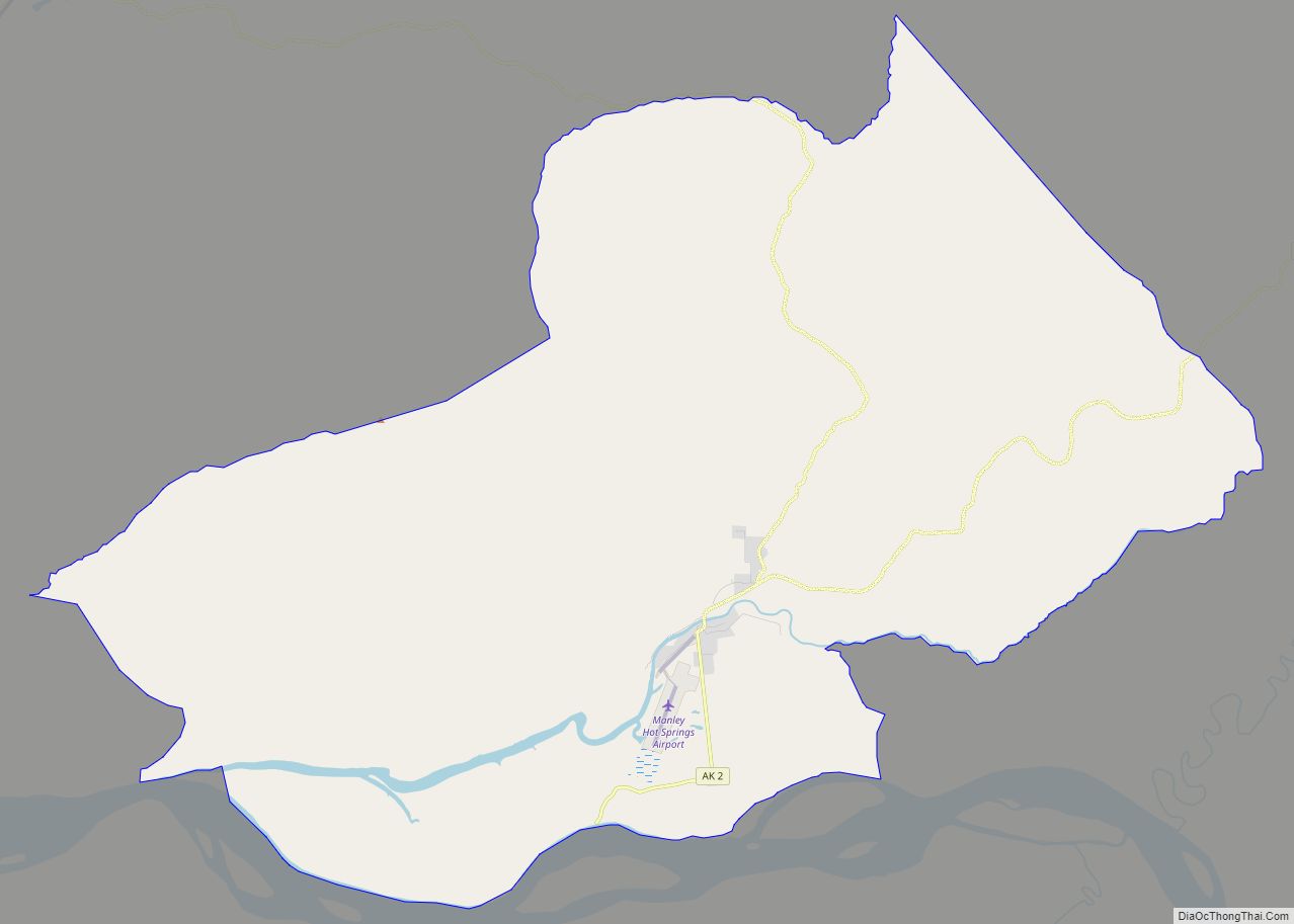
Map of Lutak CDP

Map of Lutak CDP

Lutak (Lingít: Lḵoot) is a census-designated place (CDP) in Haines Borough, Alaska, United States. The population was 49 at the 2010 census, up from 39 in 2000. Lutak CDP overview: Name: Lutak CDP LSAD Code: 57 LSAD Description: CDP (suffix) State: Alaska County: Haines Borough Elevation: 30 ft (9 m) Total Area: 133.26 sq mi (345.14 km²) Land Area: 126.96 sq mi … Read more

Map of Lower Kalskag city

Map of Lower Kalskag city

Lower Kalskag (Central Yupik: Qalqaq; Russian: Лоуэр-Калскаг) is a city in Bethel Census Area, Alaska, United States. It is twenty-six miles west of Aniak. At the 2010 census the population was 282, up from 267 in 2000. Lower Kalskag city overview: Name: Lower Kalskag city LSAD Code: 25 LSAD Description: city (suffix) State: Alaska County: … Read more

Map of McCarthy CDP

Map of McCarthy CDP

McCarthy is a census-designated place (CDP) in Copper River Census Area, Alaska, United States. It is in Wrangell-St. Elias National Park and Preserve. The population was 107 at the 2020 census, up from 28 in 2010. McCarthy CDP overview: Name: McCarthy CDP LSAD Code: 57 LSAD Description: CDP (suffix) State: Alaska County: Valdez-Cordova Census Area … Read more

Map of Marshall city

Map of Marshall city, Alaska

Marshall (Central Yupik: Masserculleq) is a city in Kusilvak Census Area, Alaska, United States. At the 2010 census the population was 414, up from 349 in 2000. Marshall city overview: Name: Marshall city LSAD Code: 25 LSAD Description: city (suffix) State: Alaska County: Kusilvak Census Area Incorporated: June 9, 1970 Elevation: 115 ft (35 m) Total Area: … Read more

Map of Manokotak city

Map of Manokotak city

Manokotak (Central Yupik: Manuquutaq) is a city in Dillingham Census Area, Alaska, United States. At the 2010 census the population was 442, up from 399 in 2000. Manokotak city overview: Name: Manokotak city LSAD Code: 25 LSAD Description: city (suffix) State: Alaska County: Dillingham Census Area Incorporated: October 19, 1970 Elevation: 16 ft (5 m) Total Area: … Read more

Map of Mekoryuk city

Map of Mekoryuk city

Mekoryuk (Nunivak Cup’ig: Mikuryarmiut; Central Yup’ik: Mikuryar) is a city located on Nunivak Island in the Bethel Census Area, Alaska, United States. At the 2010 census the population was 191, down from 210 in 2000. Mekoryuk city overview: Name: Mekoryuk city LSAD Code: 25 LSAD Description: city (suffix) State: Alaska County: Bethel Census Area Incorporated: … Read more

Map of Meadow Lakes CDP

Map of Meadow Lakes CDP

Meadow Lakes is a census-designated place (CDP) in Matanuska-Susitna Borough, Alaska, United States. Located west of Wasilla, it is part of the Anchorage, Alaska Metropolitan Statistical Area. As of the 2020 census, the population was 9,197, up from 7,570 in 2010. It is the fifth-most populated CDP in Alaska and the third largest community in … Read more

Map of McGrath city

Map of McGrath city, Alaska

McGrath (Tochak’ in Upper Kuskokwim, Digenegh in Deg Xinag) is a city and village on the Kuskokwim River in Alaska, United States. The population was 301 at the 2020 census. Despite its small population, the village is an important transportation and economic hub for the area. McGrath city overview: Name: McGrath city LSAD Code: 25 … Read more

Map of Mertarvik CDP

Map of Mertarvik CDP

Mertarvik (Mug-TUG-vik; Central Yupik: Mertarvik [məg’təgvɪk]) is a village in the Bethel Census Area, Alaska. In 2019 the first residents from the town of Newtok, which is eroding, began to arrive. By 2020, about 130 residents were there. In 2020, the State of Alaska had not sent voting primary forms to the village because of … Read more

Map of Mentasta Lake CDP

Map of Mentasta Lake CDP

Mentasta Lake (Mendaesde in Ahtna Athabascan) is a census-designated place (CDP) in Copper River Census Area, Alaska, United States. At the 2010 census the population was 112, down from 142 in 2000. Mentasta Lake CDP overview: Name: Mentasta Lake CDP LSAD Code: 57 LSAD Description: CDP (suffix) State: Alaska County: Valdez-Cordova Census Area Total Area: … Read more

Map of Mendeltna CDP

Map of Mendeltna CDP

Mendeltna (Bendilna’ in Ahtna) is a census-designated place (CDP) in Copper River Census Area, Alaska, United States. The population was 36 at the 2020 census, down from 39 in 2010. Mendeltna CDP overview: Name: Mendeltna CDP LSAD Code: 57 LSAD Description: CDP (suffix) State: Alaska County: Valdez-Cordova Census Area Elevation: 2,441 ft (744 m) Total Area: 458.52 sq mi … Read more

Map of Moose Creek CDP

Map of Moose Creek CDP

Moose Creek is a census-designated place (CDP) in Fairbanks North Star Borough in the U.S. state of Alaska. As of the 2010 census, the population of the CDP was 747, up from 542 in 2000. It is part of the ‘Fairbanks, Alaska Metropolitan Statistical Area’. Moose Creek is located south of Fairbanks, Alaska along the … Read more