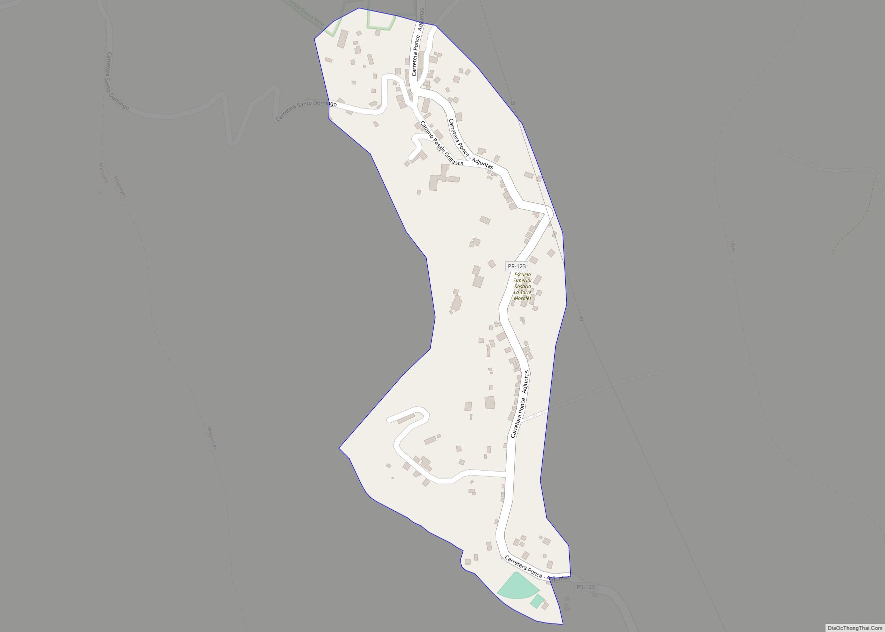
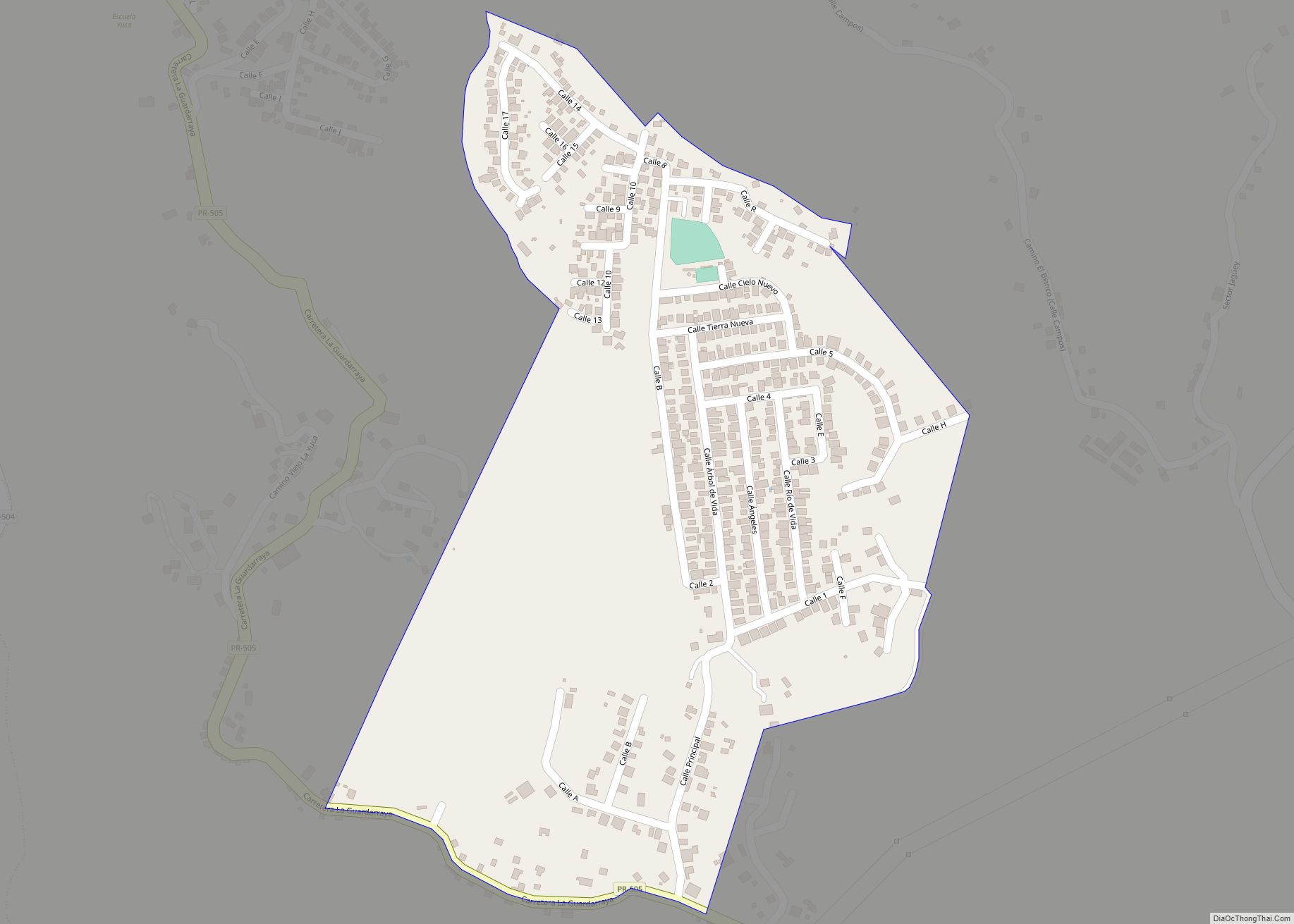
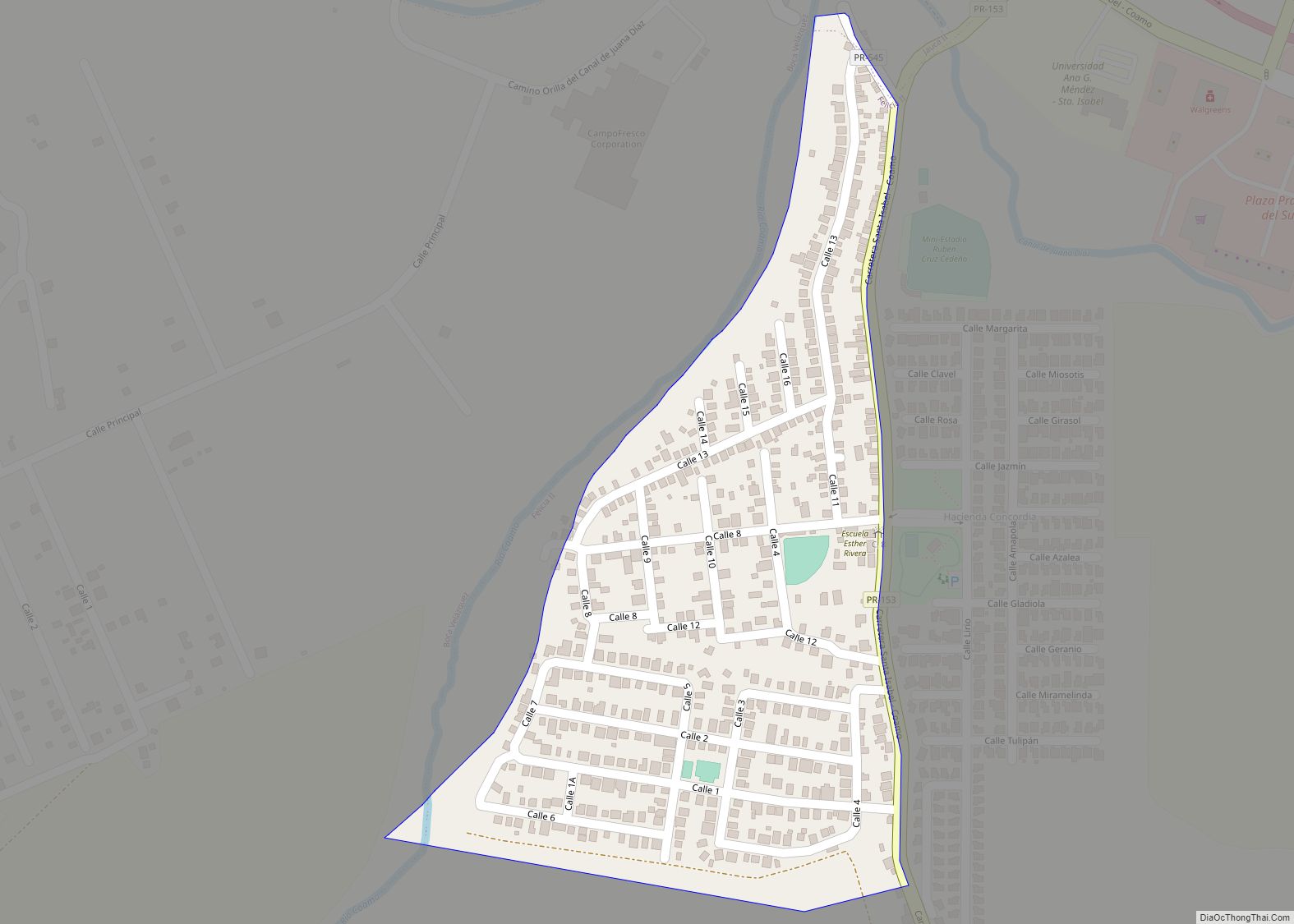
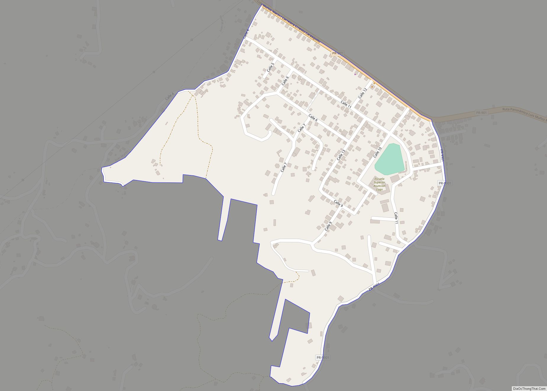
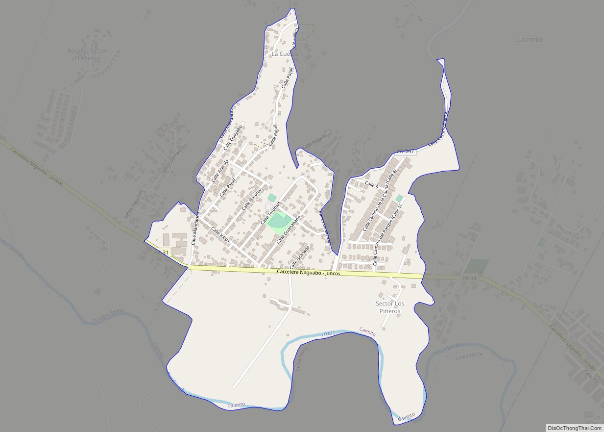
Corral Viejo comunidad overview: Name: Corral Viejo comunidad LSAD Code: 55 LSAD Description: comunidad (suffix) State: Puerto Rico FIPS code: 7220998 Online Interactive Map Corral Viejo online map. Source: Basemap layers from Google Map, Open Street Map (OSM), Arcgisonline, Wmflabs. Boundary Data from Database of Global Administrative Areas. Corral Viejo location map. Where is Corral ... Read more
Puerto Rico Cities and Places
El Paraiso comunidad overview: Name: El Paraiso comunidad LSAD Code: 55 LSAD Description: comunidad (suffix) State: Puerto Rico County: Ponce Municipio FIPS code: 7225835 Online Interactive Map El Paraiso online map. Source: Basemap layers from Google Map, Open Street Map (OSM), Arcgisonline, Wmflabs. Boundary Data from Database of Global Administrative Areas. El Paraiso location map. ... Read more
El Ojo comunidad overview: Name: El Ojo comunidad LSAD Code: 55 LSAD Description: comunidad (suffix) State: Puerto Rico County: Santa Isabel Municipio FIPS code: 7225771 Online Interactive Map El Ojo online map. Source: Basemap layers from Google Map, Open Street Map (OSM), Arcgisonline, Wmflabs. Boundary Data from Database of Global Administrative Areas. El Ojo location ... Read more
El Negro comunidad overview: Name: El Negro comunidad LSAD Code: 55 LSAD Description: comunidad (suffix) State: Puerto Rico County: Yabucoa Municipio FIPS code: 7225685 Online Interactive Map El Negro online map. Source: Basemap layers from Google Map, Open Street Map (OSM), Arcgisonline, Wmflabs. Boundary Data from Database of Global Administrative Areas. El Negro location map. ... Read more
El Mangó comunidad overview: Name: El Mangó comunidad LSAD Code: 55 LSAD Description: comunidad (suffix) State: Puerto Rico County: Juncos Municipio FIPS code: 7225556 Online Interactive Map El Mangó online map. Source: Basemap layers from Google Map, Open Street Map (OSM), Arcgisonline, Wmflabs. Boundary Data from Database of Global Administrative Areas. El Mangó location map. ... Read more
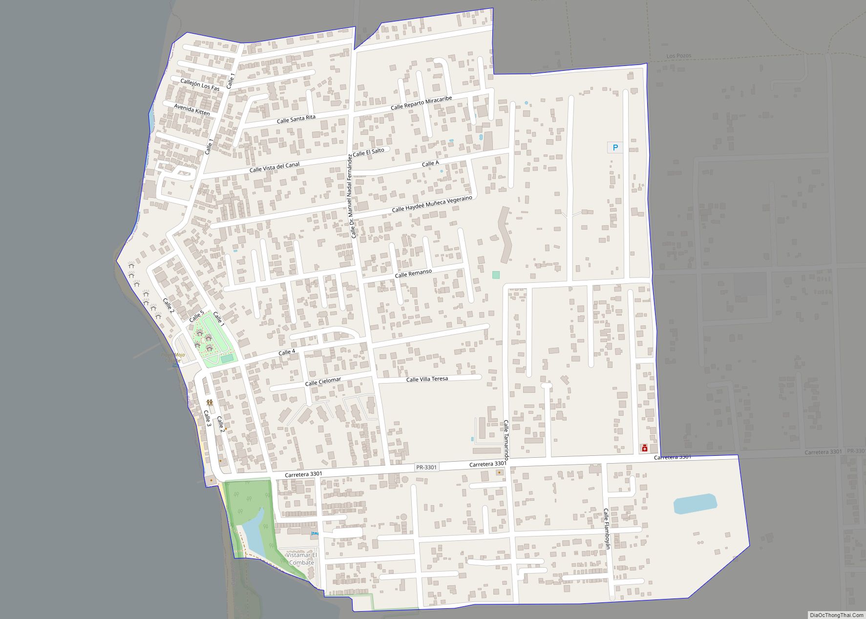
El Combate comunidad overview: Name: El Combate comunidad LSAD Code: 55 LSAD Description: comunidad (suffix) State: Puerto Rico County: Cabo Rojo Municipio FIPS code: 7224954 Online Interactive Map El Combate online map. Source: Basemap layers from Google Map, Open Street Map (OSM), Arcgisonline, Wmflabs. Boundary Data from Database of Global Administrative Areas. El Combate location ... Read more
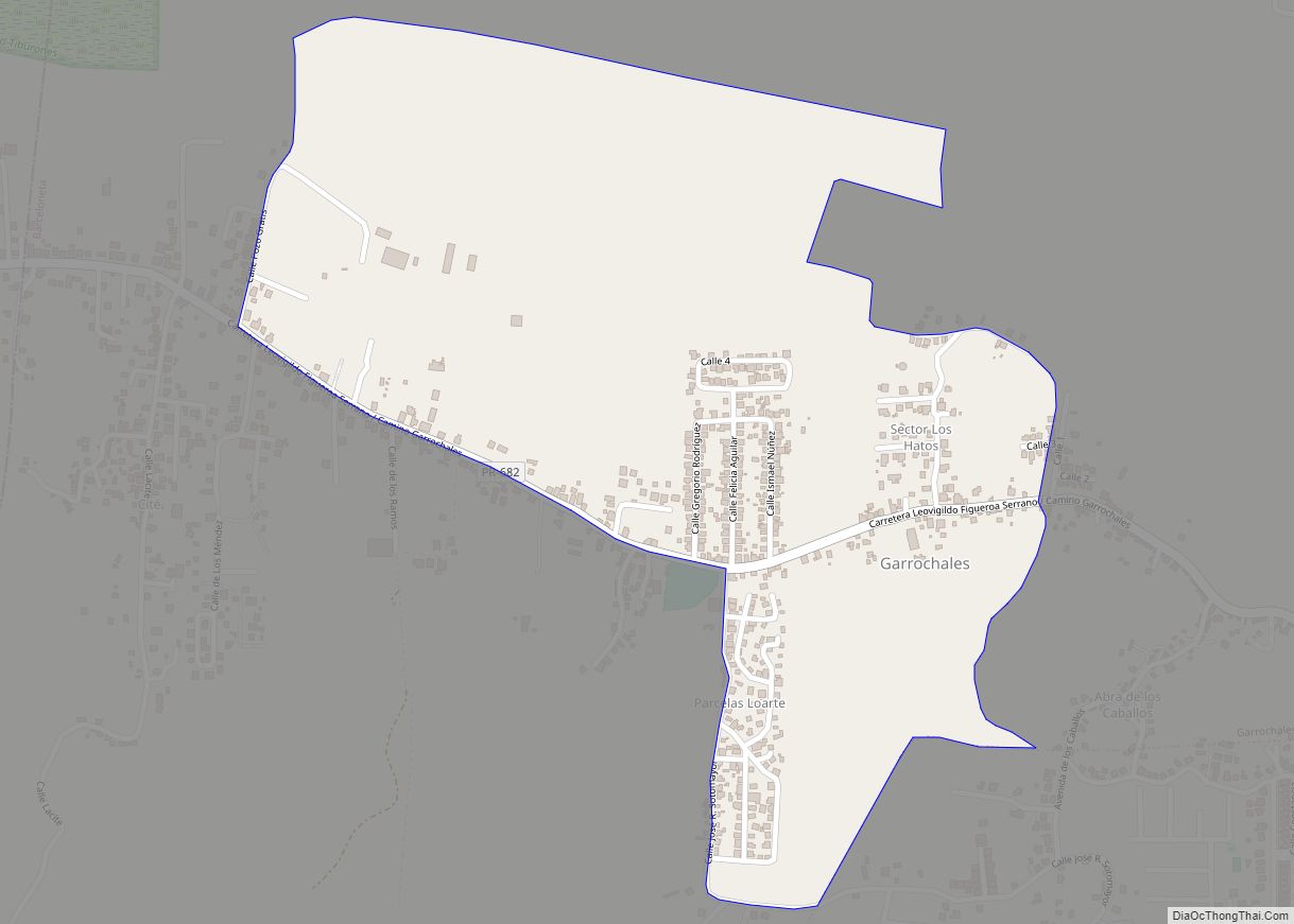
Garrochales is a barrio in the municipality of Barceloneta, Puerto Rico. Its population in 2010 was 4,542. Garrochales comunidad overview: Name: Garrochales comunidad LSAD Code: 55 LSAD Description: comunidad (suffix) State: Puerto Rico County: Barceloneta Municipio Elevation: 16 ft (5 m) Total Area: 4.49 sq mi (11.6 km²) Land Area: 4.47 sq mi (11.6 km²) Water Area: 0.02 sq mi (0.05 km²) Total Population: 4,542 Population ... Read more
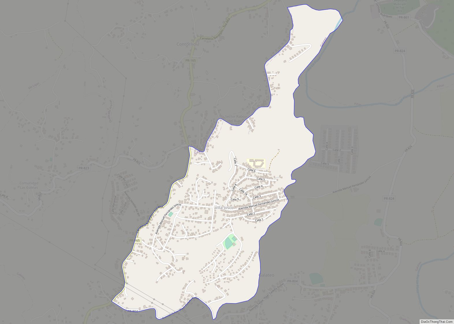
Galateo is a barrio in the municipality of Toa Alta, Puerto Rico. Its population in 2010 was 5,917. Galateo comunidad overview: Name: Galateo comunidad LSAD Code: 55 LSAD Description: comunidad (suffix) State: Puerto Rico County: Toa Alta Municipio Elevation: 66 ft (20 m) Total Area: 2.81 sq mi (7.3 km²) Land Area: 2.79 sq mi (7.2 km²) Water Area: 0.02 sq mi (0.05 km²) Total Population: ... Read more
G. L. García comunidad overview: Name: G. L. García comunidad LSAD Code: 55 LSAD Description: comunidad (suffix) State: Puerto Rico County: Cayey Municipio FIPS code: 7230544 Online Interactive Map G. L. García online map. Source: Basemap layers from Google Map, Open Street Map (OSM), Arcgisonline, Wmflabs. Boundary Data from Database of Global Administrative Areas. G. ... Read more
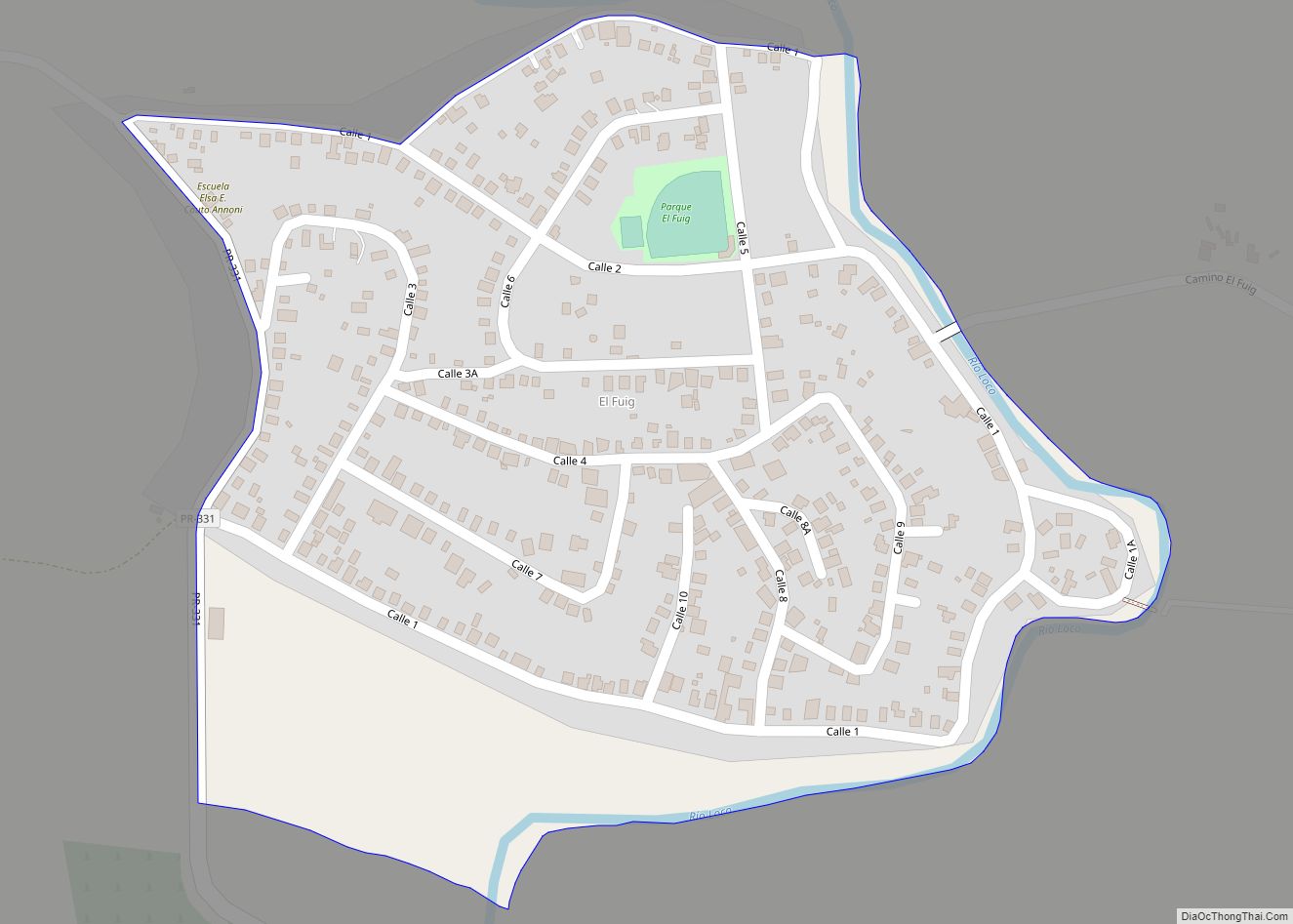
Fuig comunidad overview: Name: Fuig comunidad LSAD Code: 55 LSAD Description: comunidad (suffix) State: Puerto Rico County: Guánica Municipio FIPS code: 7229727 Online Interactive Map Fuig online map. Source: Basemap layers from Google Map, Open Street Map (OSM), Arcgisonline, Wmflabs. Boundary Data from Database of Global Administrative Areas. Fuig location map. Where is Fuig comunidad? ... Read more
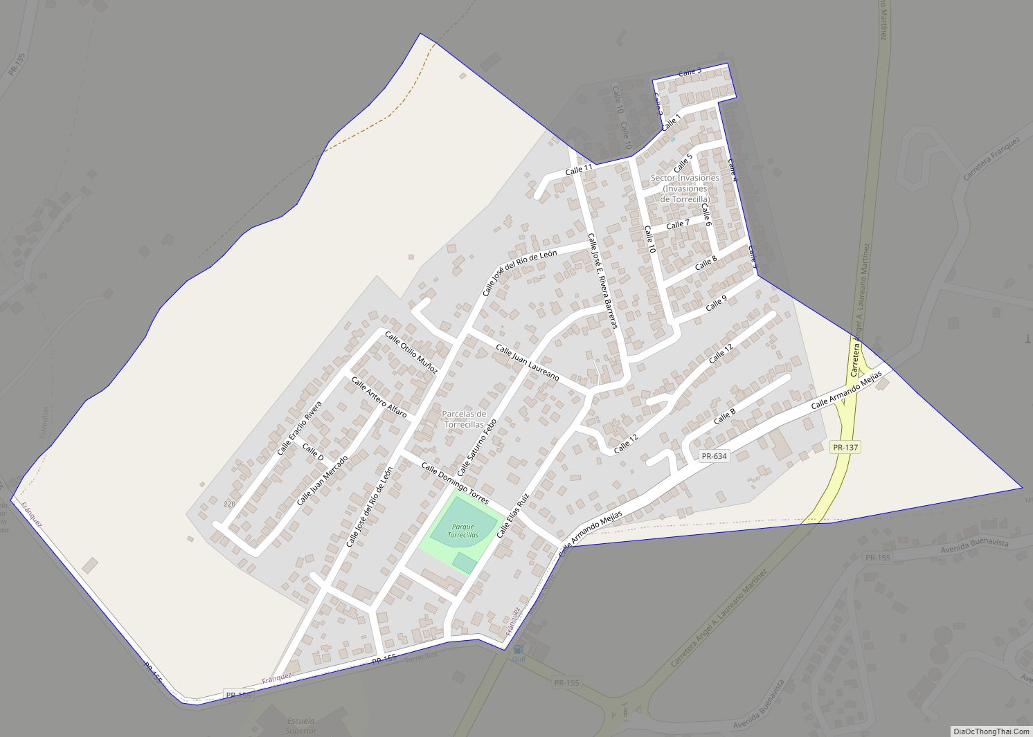
Fránquez is a barrio in the municipality of Morovis, Puerto Rico. Fránquez has twelve sectors and its population in 2010 was 4,583. Fránquez comunidad overview: Name: Fránquez comunidad LSAD Code: 55 LSAD Description: comunidad (suffix) State: Puerto Rico County: Morovis Municipio Elevation: 443 ft (135 m) Total Area: 4.2 sq mi (11 km²) Land Area: 4.2 sq mi (11 km²) Water Area: 0 sq mi ... Read more
Florida zona urbana overview: Name: Florida zona urbana LSAD Code: 62 LSAD Description: zona urbana (suffix) State: Puerto Rico County: Florida Municipio FIPS code: 7228824 Online Interactive Map Florida online map. Source: Basemap layers from Google Map, Open Street Map (OSM), Arcgisonline, Wmflabs. Boundary Data from Database of Global Administrative Areas. Florida location map. Where ... Read more
