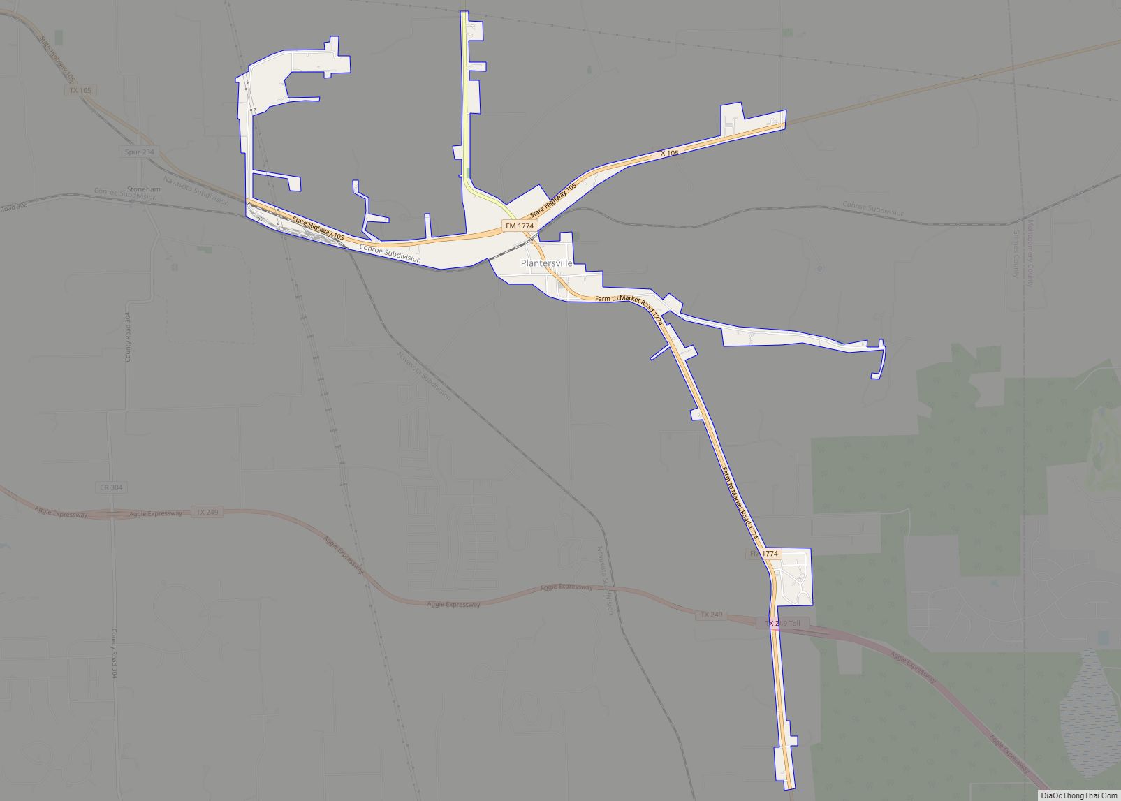
Map of Plainview city, Texas

Map of Plainview city, Texas

Plainview is a city in and the county seat of Hale County, Texas, United States. As of the 2010 census, the population was 22,194. Plainview city overview: Name: Plainview city LSAD Code: 25 LSAD Description: city (suffix) State: Texas County: Hale County Elevation: 3,366 ft (1,026 m) Total Area: 13.89 sq mi (35.99 km²) Land Area: 13.89 sq mi (35.99 km²) Water Area: … Read more

Map of Plains town, Texas

Map of Plains town, Texas

Plains is a town and the county seat of Yoakum County of western Texas, United States, particularly the south (inner) half of the panhandle’s plains. The city’s population was 1,481 at the 2010 census. Plains in the Texas High Plains Wine country. Plains town overview: Name: Plains town LSAD Code: 43 LSAD Description: town (suffix) … Read more

Map of Placedo CDP

Map of Placedo CDP

Placedo is a census-designated place (CDP) in Victoria County, Texas, United States. This was a new CDP for the 2010 census with a population of 692. It is part of the Victoria, Texas Metropolitan Statistical Area. Placedo CDP overview: Name: Placedo CDP LSAD Code: 57 LSAD Description: CDP (suffix) State: Texas County: Victoria County Total … Read more

Map of Pittsburg city, Texas

Map of Pittsburg city, Texas

Pittsburg is a city and the county seat of Camp County, Texas, United States. Best known as the former home of the giant poultry producer Pilgrim’s and the home of racing legend Carroll Shelby, Pittsburg is also the birthplace of Cavender’s Boot City. In 1902, it was the site of an early flight attempt by … Read more

Map of Piney Point Village city

Map of Piney Point Village city

Piney Point Village is a city in Harris County, Texas, United States. The population was 3,125 at the 2010 census. Piney Point Village is the wealthiest place in Texas, as ranked by per capita income. It is part of a collection of upscale residential communities in west Houston known as the Memorial Villages. Piney Point … Read more

Map of Pinewood Estates CDP

Map of Pinewood Estates CDP

Pinewood Estates is an unincorporated community and census-designated place (CDP) in Hardin County, Texas, United States. The population was 1,678 at the 2010 census. It is part of the Beaumont–Port Arthur Metropolitan Statistical Area. Pinewood Estates CDP overview: Name: Pinewood Estates CDP LSAD Code: 57 LSAD Description: CDP (suffix) State: Texas County: Hardin County Elevation: … Read more

Map of Point Venture village

Map of Point Venture village

Point Venture is a village in western Travis County, Texas. The population was 800 as of the 2010 census. Located on the north bank of Lake Travis, Point Venture was a second home and family vacation destination, since the early 1970s. It has matured into a community of full-time residents with over 150 children attending … Read more

Map of Point Comfort city

Map of Point Comfort city

Point Comfort is a city in Calhoun County, Texas, United States. It is a part of the Victoria, Texas Metropolitan Statistical Area. The population was 737 at the 2010 census. Point Comfort city overview: Name: Point Comfort city LSAD Code: 25 LSAD Description: city (suffix) State: Texas County: Calhoun County Elevation: 16 ft (5 m) Total Area: … Read more

Map of Point Blank city

Map of Point Blank city

Point Blank is a city in San Jacinto County, Texas, United States. The population was 643 at the 2020 census. Point Blank city overview: Name: Point Blank city LSAD Code: 25 LSAD Description: city (suffix) State: Texas County: San Jacinto County Total Area: 2.08 sq mi (5.40 km²) Land Area: 2.02 sq mi (5.24 km²) Water Area: 0.06 sq mi (0.16 km²) Total Population: … Read more

Map of Plum Grove city

Map of Plum Grove city

Plum Grove is a city in Liberty County, Texas, United States. The population was 1,245 at the 2020 census. Plum Grove city overview: Name: Plum Grove city LSAD Code: 25 LSAD Description: city (suffix) State: Texas County: Liberty County Elevation: 95 ft (29 m) Total Area: 3.75 sq mi (9.71 km²) Land Area: 3.75 sq mi (9.71 km²) Water Area: 0.00 sq mi (0.00 km²) Total … Read more

Map of Pleasanton city, Texas

Map of Pleasanton city, Texas

Pleasanton is a city in Atascosa County, Texas, United States. The population was 8,934 at the 2010 census. Pleasanton’s official motto is “The City of Live Oaks and Friendly Folks.” It is part of the San Antonio-New Braunfels Metropolitan Statistical Area. Pleasanton city overview: Name: Pleasanton city LSAD Code: 25 LSAD Description: city (suffix) State: … Read more

Map of Port Isabel city

Map of Port Isabel city

Port Isabel is a city in Cameron County, Texas, United States. It is part of the Brownsville–Harlingen–Raymondville and the Matamoros–Brownsville metropolitan areas. The population was 5,006 at the 2010 census. The city’s name is given to the Port Isabel Detention Center, 12 miles (19 km) to the northwest next to the Port Isabel-Cameron County Airport. Port … Read more