Map of Houston city, Texas

Map of Houston city, Texas

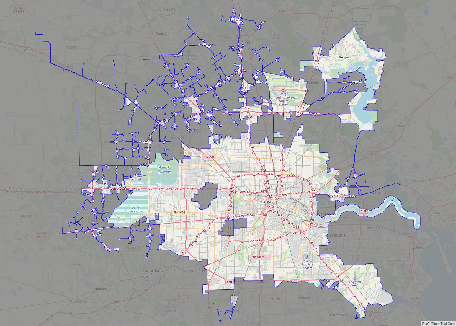
Houston (/ˈhjuːstən/ (listen); HEW-stən) is the most populous city in Texas and in the Southern United States. It is the fourth-most populous city in the United States after New York City, Los Angeles, and Chicago, and the sixth-most populous city in North America. With a population of 2,304,580 in 2020, Houston is located in Southeast … Read more

Map of Dallas city, Texas

Map of Dallas city, Texas

Dallas (/ˈdæləs/) is the third-largest city in Texas and the largest city in the Dallas–Fort Worth metroplex, the fourth-largest metropolitan area in the United States at 7.5 million people. It is the largest city in and seat of Dallas County with portions extending into Collin, Denton, Kaufman, and Rockwall counties. With a 2020 census population of … Read more

Map of San Antonio city, Texas

Map of San Antonio city, Texas

San Antonio city overview: Name: San Antonio city LSAD Code: 25 LSAD Description: city (suffix) State: Texas County: Bexar County, Comal County, Medina County Incorporated: June 5, 1837 Elevation: 650 ft (198 m) Land Area: 498.85 sq mi (1,292.02 km²) Water Area: 5.79 sq mi (14.98 km²) Population Density: 2,875.86/sq mi (1,110.37/km²) FIPS code: 4865000 Website: www.SanAntonio.gov San Antonio is a great city to … Read more

Map of Austin city, Texas

Map of Austin city, Texas

Austin is the capital city of the U.S. state of Texas, as well as the seat and largest city of Travis County, with portions extending into Hays and Williamson counties. Incorporated on December 27, 1839, it is the 10th-most-populous city in the United States, the fourth-most-populous city in Texas, and the second-most-populous state capital city. … Read more

Map of Fort Worth city

Map of Fort Worth city

Fort Worth is the fifth-largest city in the U.S. state of Texas and the 13th-largest city in the United States. It is the county seat of Tarrant County, covering nearly 350 square miles (910 km) into four other counties: Denton, Johnson, Parker, and Wise. According to a 2022 United States census estimate, Fort Worth’s population was … Read more

Map of El Paso city, Texas

Map of El Paso city, Texas

El Paso (/ɛl ˈpæsoʊ/; Spanish: [el ˈpaso]; lit. ’the pass’ or ‘the step’) is a city in and the county seat of El Paso County, Texas, United States. The 2020 population of the city from the U.S. Census Bureau was 678,815, making it the 22nd-largest city in the U.S., the sixth-largest city in Texas. The city has … Read more

Map of Arlington city, Texas

Map of Arlington city, Texas

Arlington is a city in the U.S. state of Texas, located in Tarrant County. It forms part of the Mid-Cities region of the Dallas–Fort Worth–Arlington metropolitan statistical area, and is a principal city of the metropolis and region. The city had a population of 394,266 in 2020, making it the second-largest city in the county, after … Read more

Map of Corpus Christi city

Map of Corpus Christi city

Corpus Christi (/ˌkɔːrpəs ˈkrɪsti/; Ecclesiastical Latin: “Body of Christ”) is a coastal city in the South Texas region of the U.S. state of Texas and the county seat and largest city of Nueces County, it also extends into Aransas, Kleberg, and San Patricio Counties. It is 130 miles (210 km) southeast of San Antonio. Its political … Read more

Map of Plano city, Texas

Map of Plano city, Texas

Plano (/ˈpleɪnoʊ/ PLAY-noh) is a city in Collin County and Denton County, Texas. It had a population of 285,494 at the 2020 census. It is a principal city of the Dallas–Fort Worth metroplex, and the headquarters of Frito-Lay. Plano city overview: Name: Plano city LSAD Code: 25 LSAD Description: city (suffix) State: Texas County: Collin … Read more

Map of Lubbock city

Map of Lubbock city

Lubbock (/ˈlʌbək/ LUB-ək) is the 10th-most populous city in the U.S. state of Texas and the seat of government of Lubbock County. With a population of 260,993 in 2021, the city is also the 85th-most populous in the United States. The city is in the northwestern part of the state (the region is the Great … Read more

Map of Irving city, Texas

Map of Irving city, Texas

Irving is a city in the U.S. state of Texas. Located in Dallas County, it is also an inner ring suburb of Dallas. The city of Irving is part of the Dallas–Fort Worth metroplex. According to a 2019 estimate from the United States Census Bureau, the city population was 239,798, making it the thirteenth-most populous … Read more

Map of Laredo city, Texas

Map of Laredo city, Texas

Laredo (/ləˈreɪdoʊ/ lə-RAY-doh; Spanish: [laˈɾeðo]) is a city in and the county seat of Webb County, Texas, United States, on the north bank of the Rio Grande in South Texas, across from Nuevo Laredo, Tamaulipas, Mexico. Laredo has the distinction of flying seven flags (the flag of the former Republic of the Rio Grande, which is … Read more