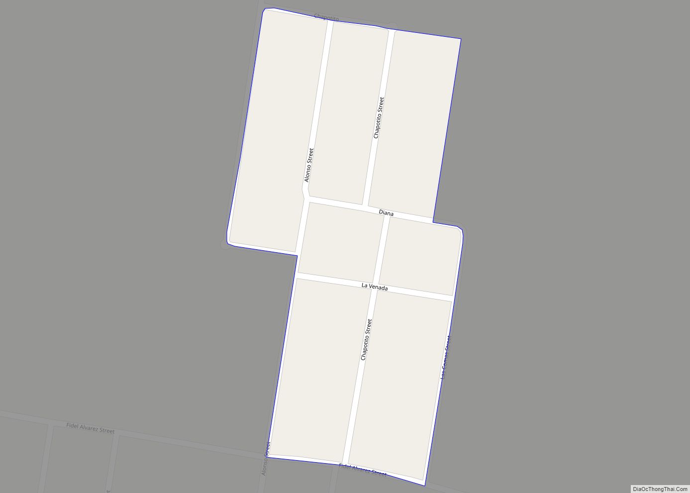
Rancho Viejo is a census-designated place (CDP) in Starr County, Texas, United States. It is a new CDP formed from part of the La Rosita CDP prior to the 2010 census with a population of 228. Rancho Viejo CDP overview: Name: Rancho Viejo CDP LSAD Code: 57 LSAD Description: CDP (suffix) State: Texas County: Starr ... Read more
Texas Cities and Places
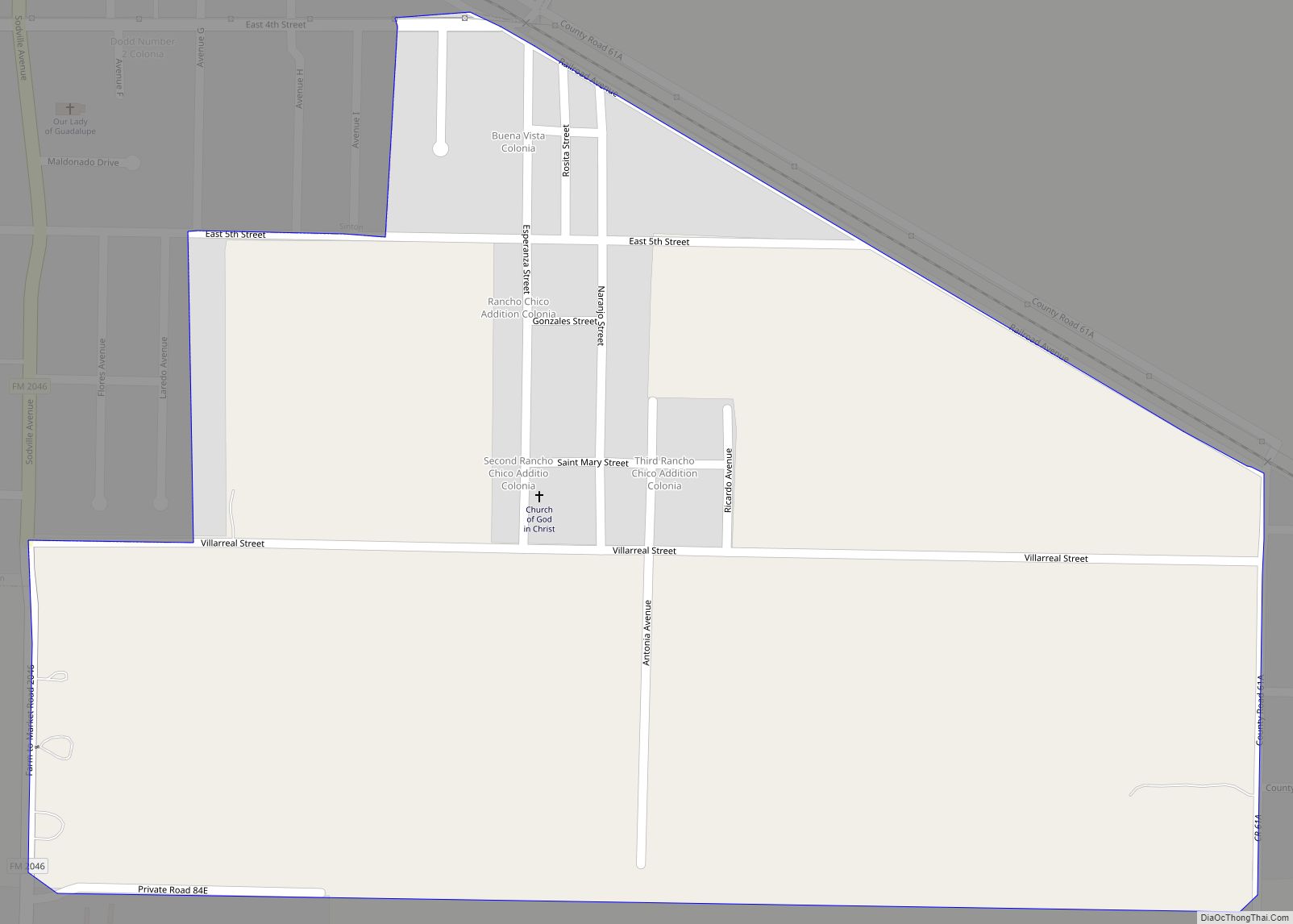
Rancho Chico is a census-designated place (CDP) in San Patricio County, Texas, United States. The population was 396 at the 2010 census. Rancho Chico CDP overview: Name: Rancho Chico CDP LSAD Code: 57 LSAD Description: CDP (suffix) State: Texas County: San Patricio County Elevation: 49 ft (15 m) Total Area: 0.5 sq mi (1.3 km²) Land Area: 0.5 sq mi (1.3 km²) Water ... Read more
Rancho Banquete is a census-designated place (CDP) in Nueces County, Texas, United States. The population was 424 at the 2010 census, down from 469 at the 2000 census. Rancho Banquete CDP overview: Name: Rancho Banquete CDP LSAD Code: 57 LSAD Description: CDP (suffix) State: Texas County: Nueces County Elevation: 92 ft (28 m) Total Area: 2.9 sq mi (7.4 km²) ... Read more
Rancho Alegre is an unincorporated area and census-designated place (CDP) in Jim Wells County, Texas, United States. The population was 1,704 at the 2010 census. Rancho Alegre CDP overview: Name: Rancho Alegre CDP LSAD Code: 57 LSAD Description: CDP (suffix) State: Texas County: Jim Wells County Elevation: 213 ft (65 m) Total Area: 1.28 sq mi (3.31 km²) Land Area: ... Read more
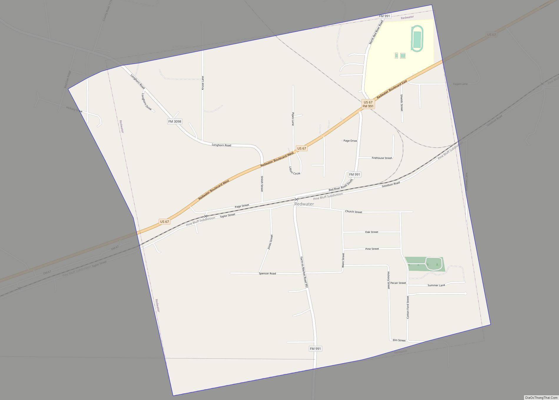
Redwater is a city in Bowie County, Texas, United States. The population was 853 at the 2020 census. It is part of the Texarkana metropolitan area. Redwater city overview: Name: Redwater city LSAD Code: 25 LSAD Description: city (suffix) State: Texas County: Bowie County Elevation: 295 ft (90 m) Total Area: 1.99 sq mi (5.16 km²) Land Area: 1.99 sq mi (5.15 km²) ... Read more
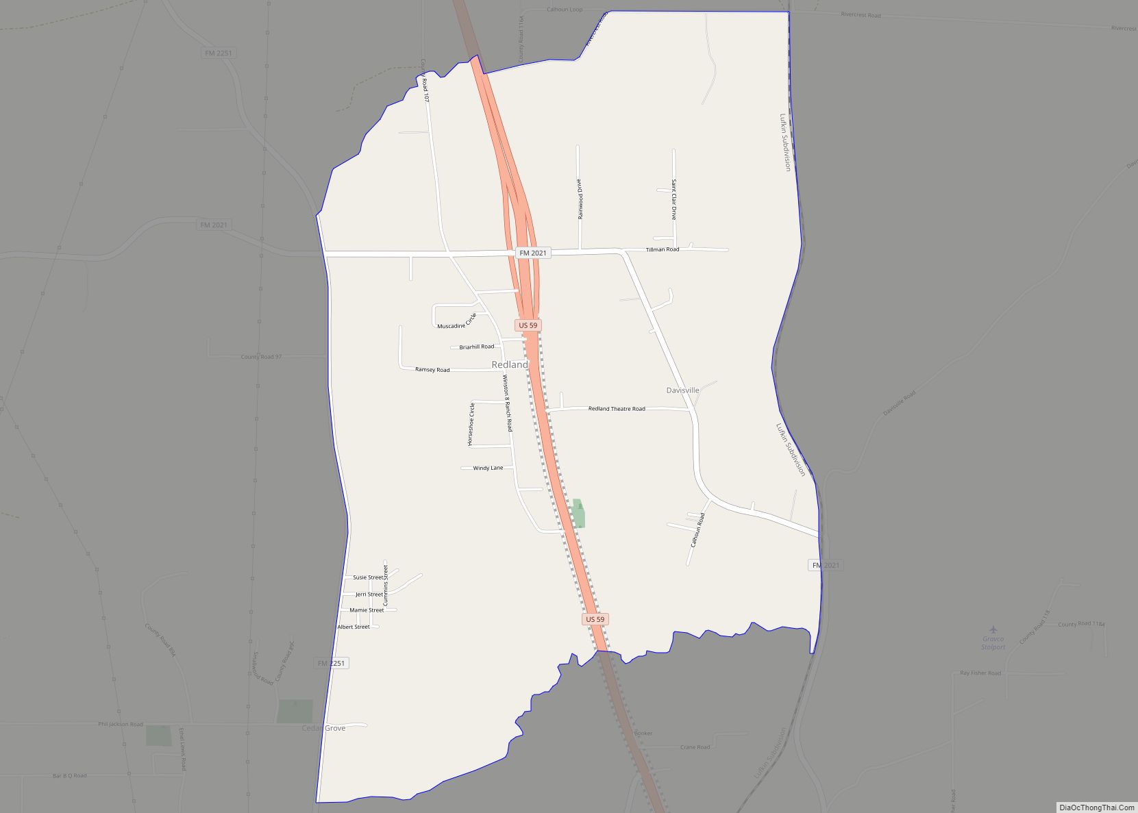
Redland is an unincorporated town and census-designated place (CDP) in Angelina County, Texas, United States. The population was 1,047 at the 2010 census. This was a new CDP for the 2010 census. Redland CDP overview: Name: Redland CDP LSAD Code: 57 LSAD Description: CDP (suffix) State: Texas County: Angelina County Elevation: 341 ft (104 m) Total Area: ... Read more
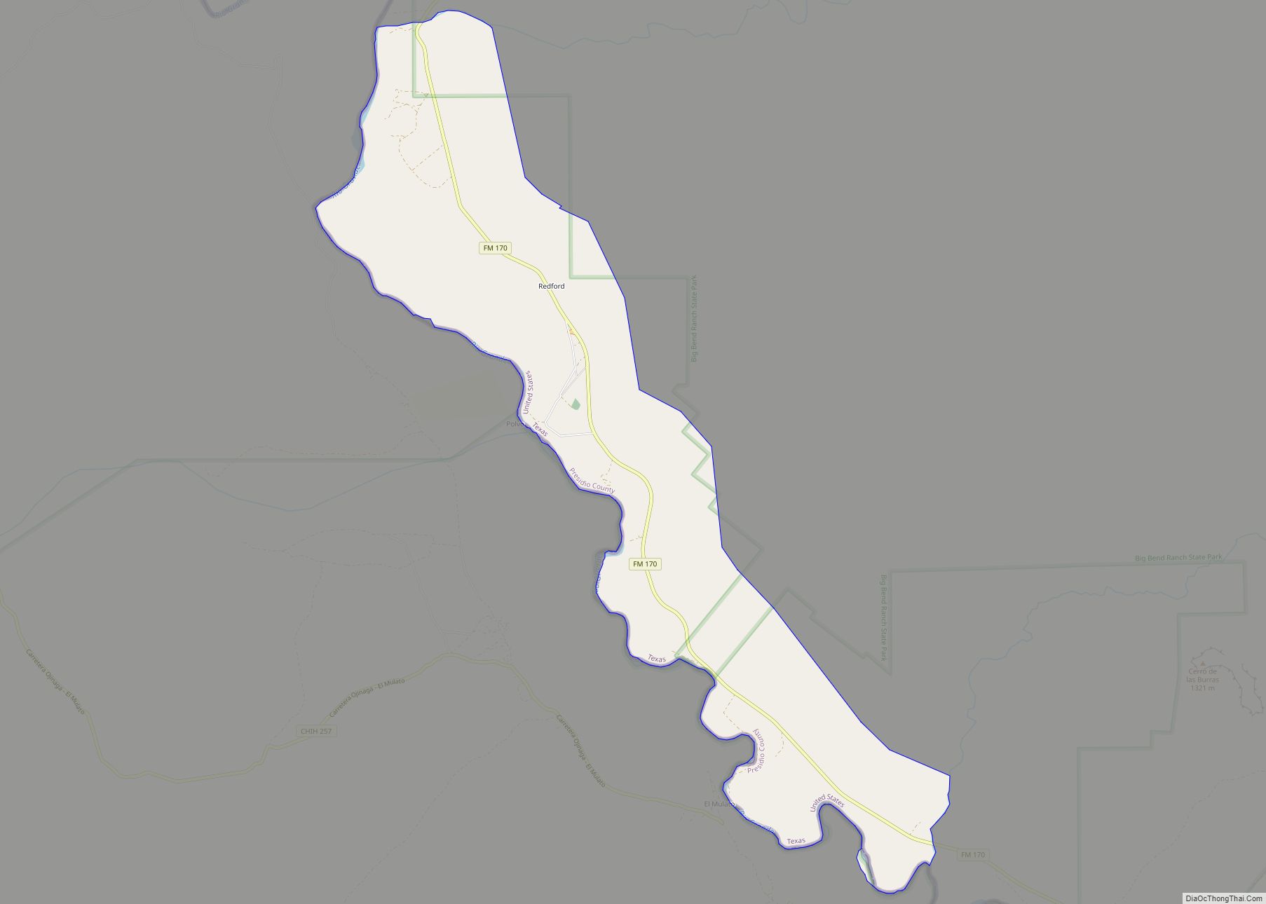
Redford is a census-designated place (CDP) in Presidio County, Texas, United States. The population was 90 at the 2010 census. Redford CDP overview: Name: Redford CDP LSAD Code: 57 LSAD Description: CDP (suffix) State: Texas County: Presidio County Elevation: 2,520 ft (770 m) Total Area: 7.4 sq mi (19 km²) Land Area: 7.4 sq mi (19 km²) Water Area: 0.0 sq mi (0 km²) Total Population: ... Read more
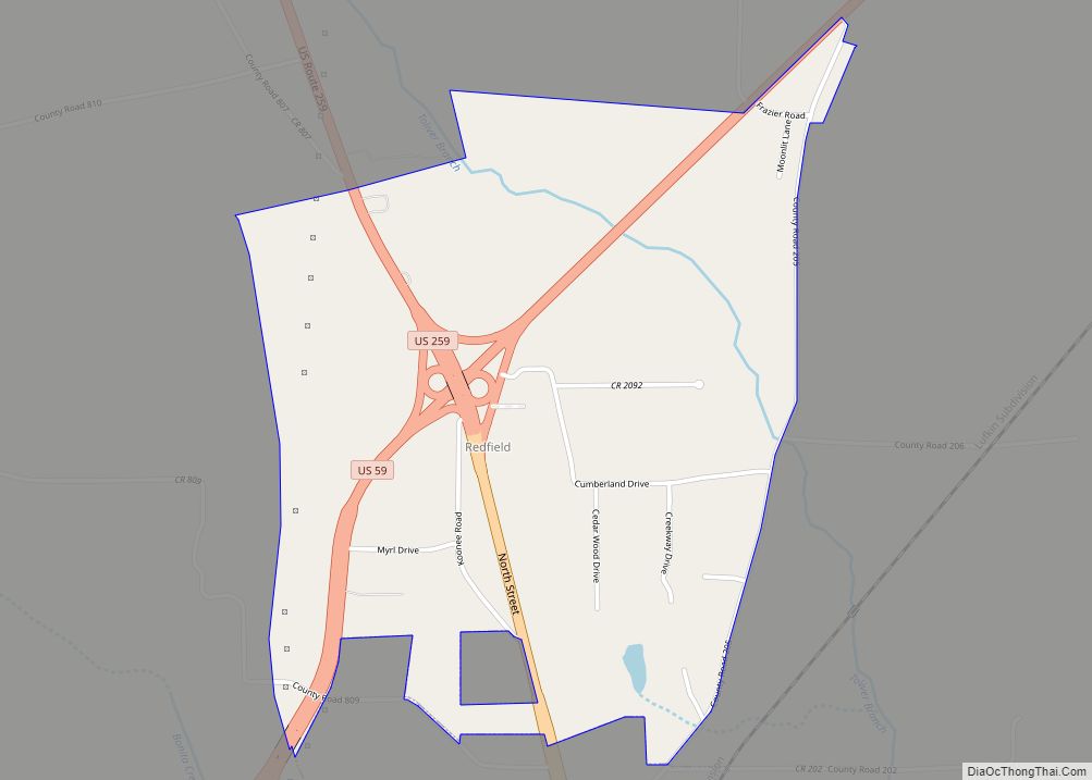
Redfield is a census-designated place in Nacogdoches County, Texas, United States. This was a new CDP for the 2010 census with a population of 441. Redfield CDP overview: Name: Redfield CDP LSAD Code: 57 LSAD Description: CDP (suffix) State: Texas County: Nacogdoches County Elevation: 489 ft (149 m) Total Area: 1.7 sq mi (4.4 km²) Land Area: 1.7 sq mi (4.4 km²) Water ... Read more
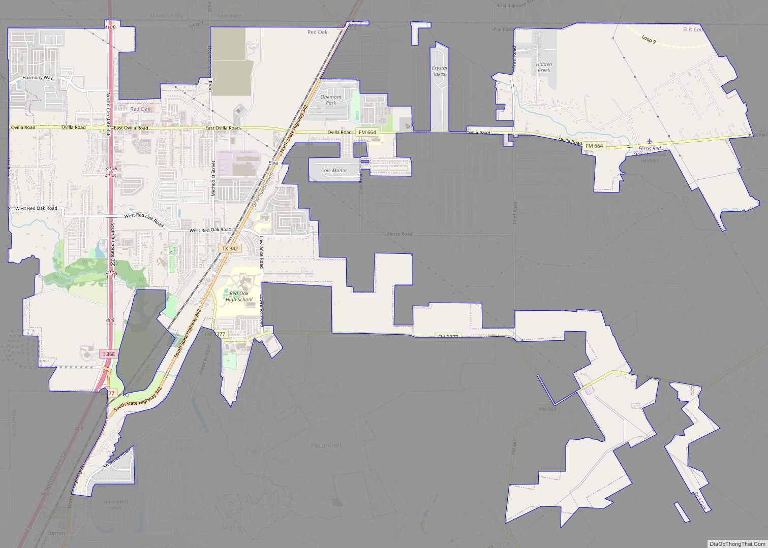
Red Oak is a city in Ellis County, Texas, United States. It is part of the Dallas–Fort Worth metroplex. The population was 10,769 at the 2010 census, up from 4,301 at the 2000 census. The North Central Texas Council of Governments projects that number to grow to 63,329 by the year 2030, as it is ... Read more
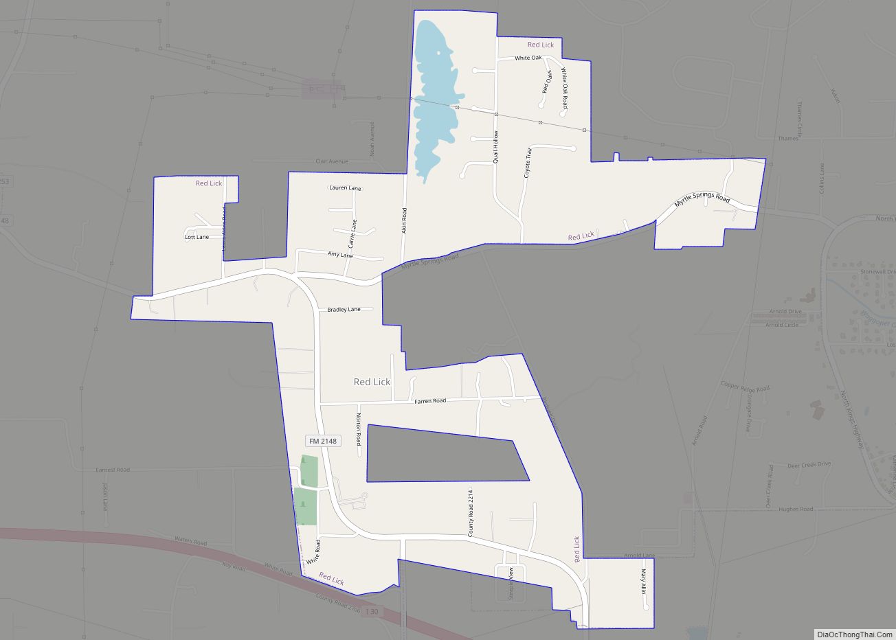
Red Lick is a city in Bowie County, Texas, United States. It is part of the Texarkana metropolis. The population was 1,008 at the 2010 census, and 946 in 2020. Red Lick city overview: Name: Red Lick city LSAD Code: 25 LSAD Description: city (suffix) State: Texas County: Bowie County Elevation: 361 ft (110 m) Total Area: ... Read more
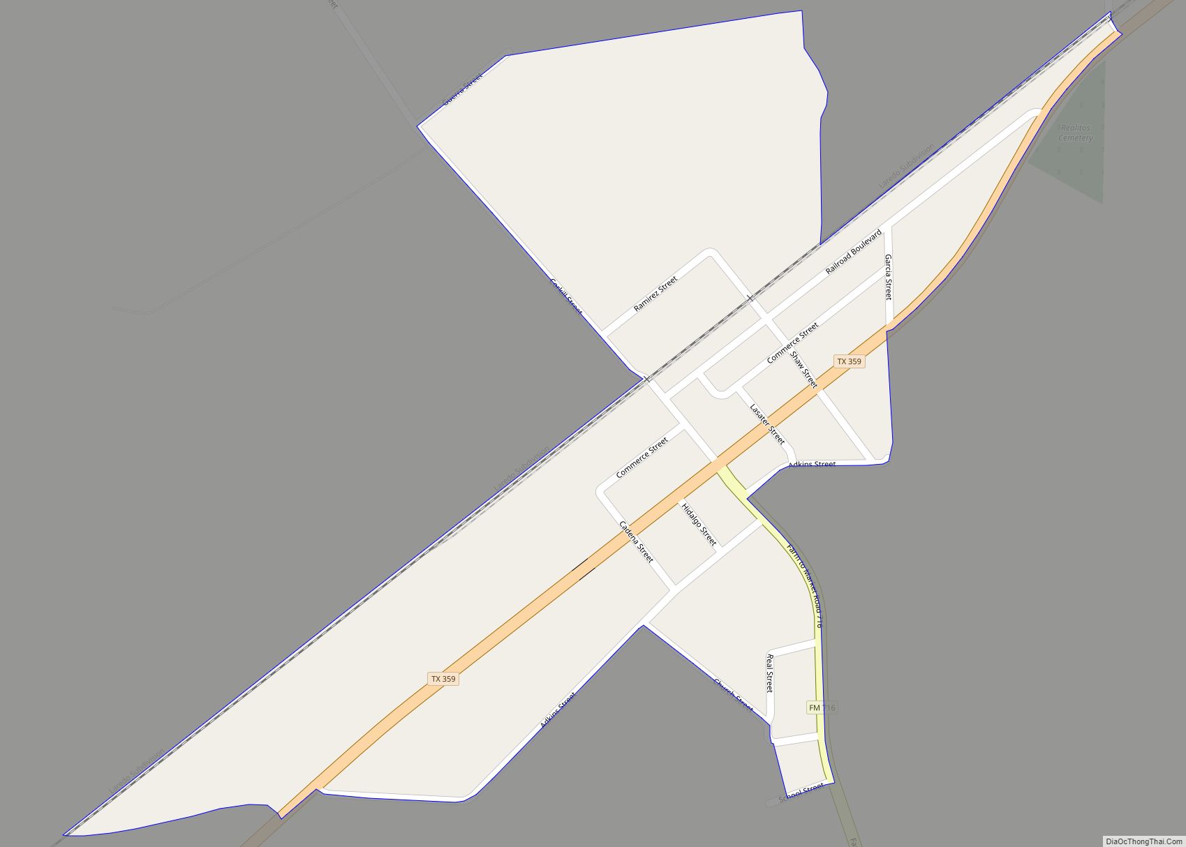
Realitos (/ˌriːəˈliːtəs/ REE-ə-LEE-təs) is an unincorporated community and census-designated place (CDP) in Duval County, Texas, United States. The population was 184 at the 2010 census. Realitos CDP overview: Name: Realitos CDP LSAD Code: 57 LSAD Description: CDP (suffix) State: Texas County: Duval County Elevation: 443 ft (135 m) Total Area: 0.3 sq mi (0.7 km²) Land Area: 0.3 sq mi (0.7 km²) Water ... Read more
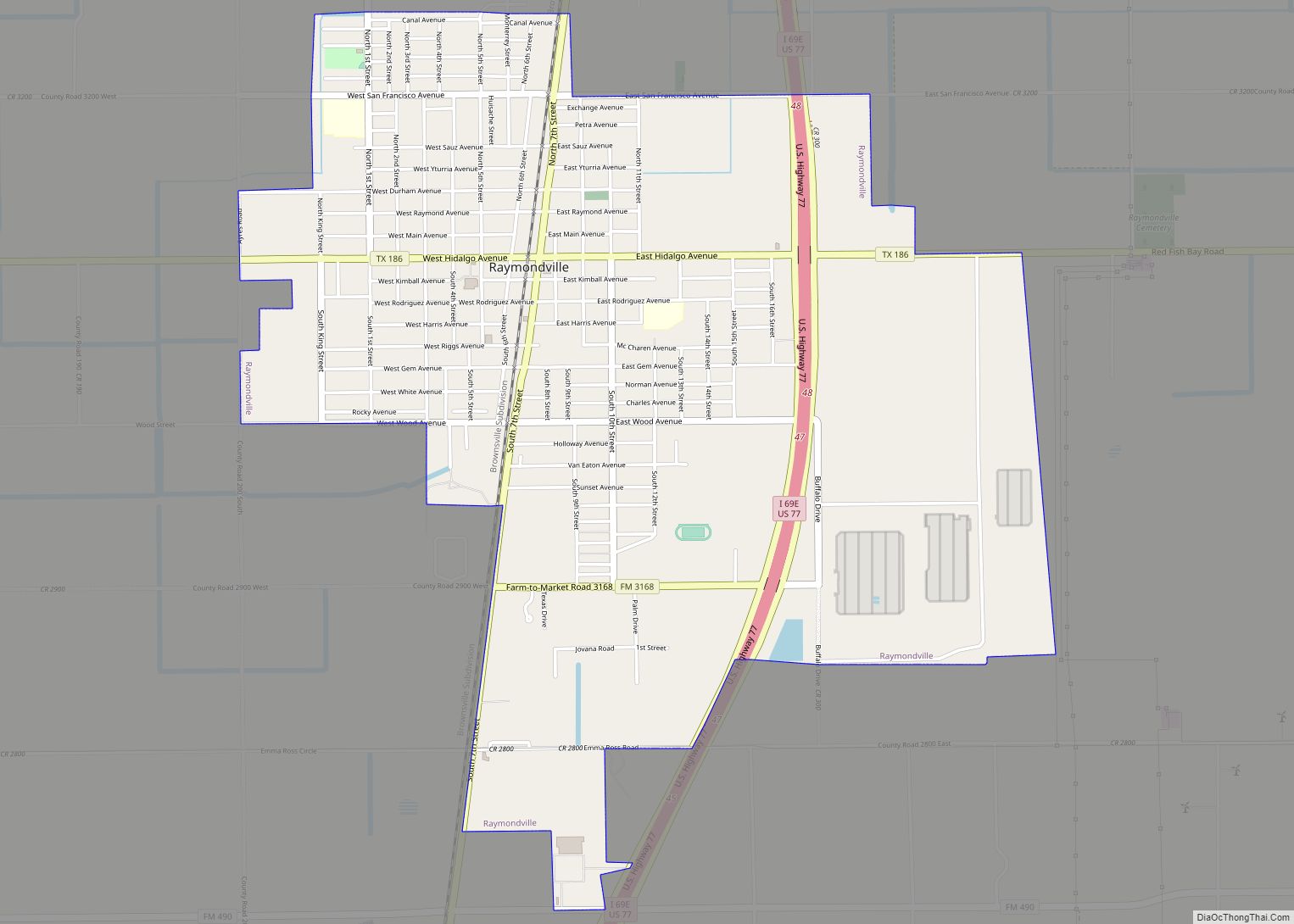
Raymondville is a city in and the county seat of Willacy County, Texas, United States. The population was 11,284 at the 2010 census. It may be included as part of the Brownsville–Harlingen–Raymondville and the Matamoros–Brownsville metropolitan areas. Raymondville was formed in 1904 by Edward Burleson Raymond, a foreman of the El Sauz Ranch portion of ... Read more
