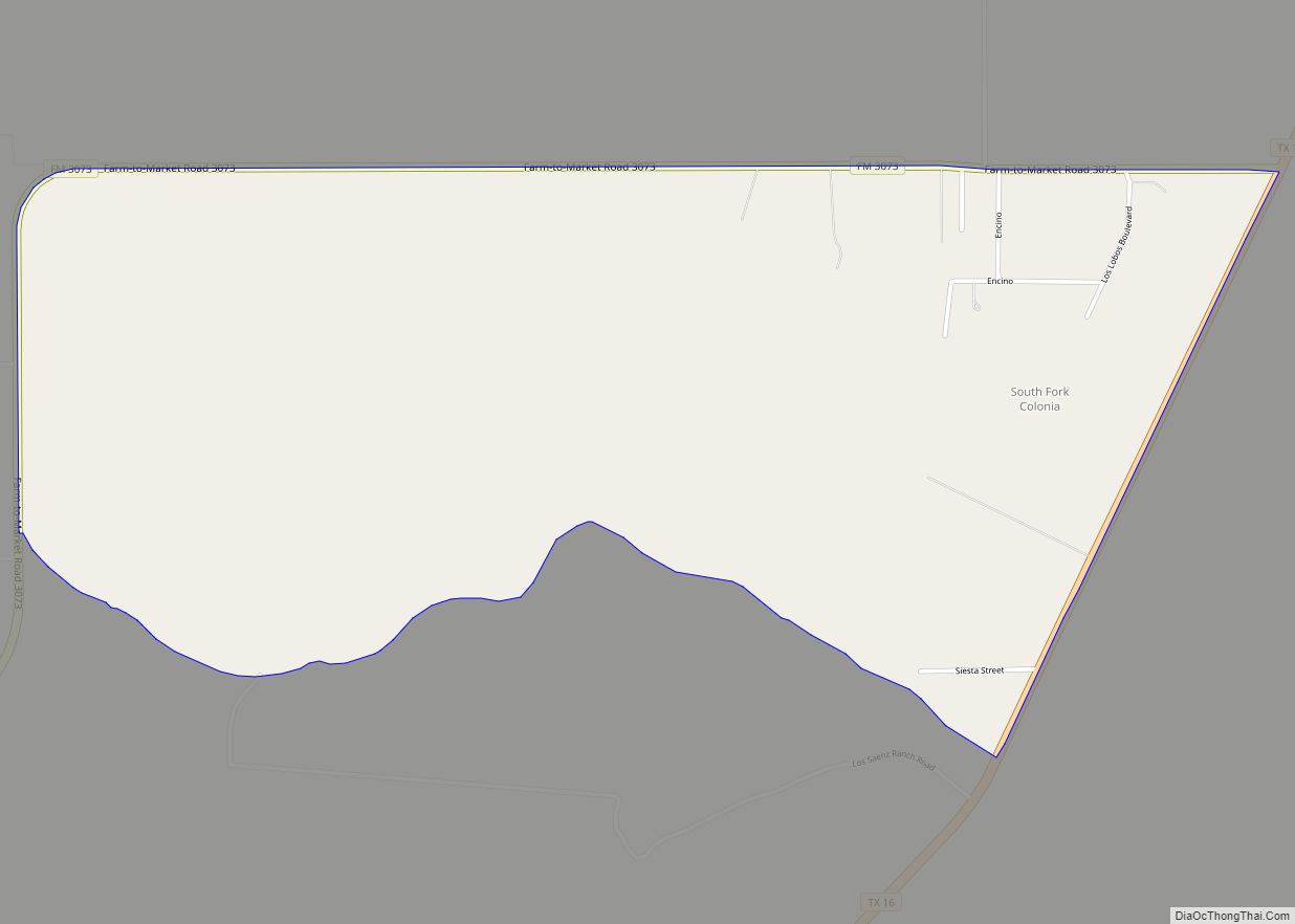
Map of Sonterra CDP

Map of Sonterra CDP

Sonterra is a planned community and census-designated place (CDP) in Williamson County, Texas, United States. It was first listed as a CDP prior to the 2020 census. It is in the northern part of the county, bordered to the north by the city of Jarrell. Interstate 35 forms part of the western border of the … Read more

Map of Sonora city, Texas

Map of Sonora city, Texas

Sonora is a city in and the county seat of Sutton County, Texas, United States. The population was 3,027 at the 2010 census. Sonora city overview: Name: Sonora city LSAD Code: 25 LSAD Description: city (suffix) State: Texas County: Sutton County Elevation: 2,129 ft (649 m) Total Area: 2.22 sq mi (5.75 km²) Land Area: 2.22 sq mi (5.75 km²) Water Area: 0.00 sq mi … Read more

Map of Spring Branch city

Map of Spring Branch city

Spring Branch is a city located in Comal County, Texas, United States. It has approximately 250 residents. The community voted to incorporate in an election held on November 3, 2015 and Spring Branch officially became a city on November 19, 2015. Originally settled by Germans in the 19th century, Spring Branch is named for a … Read more

Map of Spofford city

Map of Spofford city

Spofford is a city in Kinney County, Texas, United States. The population was 95 at the 2010 census. Spofford city overview: Name: Spofford city LSAD Code: 25 LSAD Description: city (suffix) State: Texas County: Kinney County Elevation: 1,011 ft (308 m) Total Area: 0.24 sq mi (0.62 km²) Land Area: 0.24 sq mi (0.62 km²) Water Area: 0.00 sq mi (0.00 km²) Total Population: 95 Population … Read more

Map of Splendora city

Map of Splendora city

Splendora is a city in Montgomery County, Texas, United States. The population was 1,683 at the 2020 census. Splendora was named in reference to the “splendor of its floral environment.” Splendora city overview: Name: Splendora city LSAD Code: 25 LSAD Description: city (suffix) State: Texas County: Montgomery County Incorporated: 1966 Total Area: 3.07 sq mi (7.95 km²) Land … Read more

Map of Spearman city

Map of Spearman city

Spearman is a city in and the county seat of Hansford County, Texas, United States. As of the 2010 census, the city population was 3,368. It is known for its collection of windmills from the J.B. Buchanan windmill collection. Spearman city overview: Name: Spearman city LSAD Code: 25 LSAD Description: city (suffix) State: Texas County: … Read more

Map of Sparks CDP, Texas

Map of Sparks CDP, Texas

Sparks is a census-designated place (CDP) in El Paso County, Texas, United States. The population was 4,529 at the 2010 census. It is part of the El Paso Metropolitan Statistical Area. The ZIP Code encompassing the CDP area is 79928. Sparks CDP overview: Name: Sparks CDP LSAD Code: 57 LSAD Description: CDP (suffix) State: Texas … Read more

Map of Spade CDP

Map of Spade CDP

Spade is an unincorporated community and census-designated place (CDP) in Lamb County, Texas, United States. The population was 73 at the 2010 census. Spade CDP overview: Name: Spade CDP LSAD Code: 57 LSAD Description: CDP (suffix) State: Texas County: Lamb County Elevation: 3,517 ft (1,072 m) Total Area: 1.87 sq mi (4.85 km²) Land Area: 1.87 sq mi (4.85 km²) Water Area: 0.0 sq mi … Read more

Map of Southside Place city

Map of Southside Place city

Southside Place is a city in west central Harris County, Texas, United States. The population was 1,835 at the 2020 census. As of the 2000 census, Southside Place was the 13th wealthiest location in Texas by per capita income. It has since dropped to the 14th wealthiest location. Southside Place functions as a bedroom community … Read more

Map of Southmayd city

Map of Southmayd city

Southmayd (the latter syllable pronounced like “maid”) is a city in Grayson County, Texas, United States. The population was 992 at the 2010 census. It is part of the Sherman–Denison Metropolitan Statistical Area. Southmayd city overview: Name: Southmayd city LSAD Code: 25 LSAD Description: city (suffix) State: Texas County: Grayson County Elevation: 735 ft (224 m) Total … Read more

Map of Southlake city

Map of Southlake city

Southlake is a city located predominantly in Tarrant County with minor areas extending into Denton County in the U.S. state of Texas. Southlake is a suburb of Dallas/Fort Worth. As of the 2019 census estimate it had a population of 32,376. Southlake city overview: Name: Southlake city LSAD Code: 25 LSAD Description: city (suffix) State: … Read more

Map of South Toledo Bend CDP

Map of South Toledo Bend CDP

South Toledo Bend is a census-designated place (CDP) in Newton County, Texas, United States. The population was 434 at the 2020 census, down from 524 at the 2010 census. South Toledo Bend CDP overview: Name: South Toledo Bend CDP LSAD Code: 57 LSAD Description: CDP (suffix) State: Texas County: Newton County Elevation: 180 ft (55 m) Total … Read more