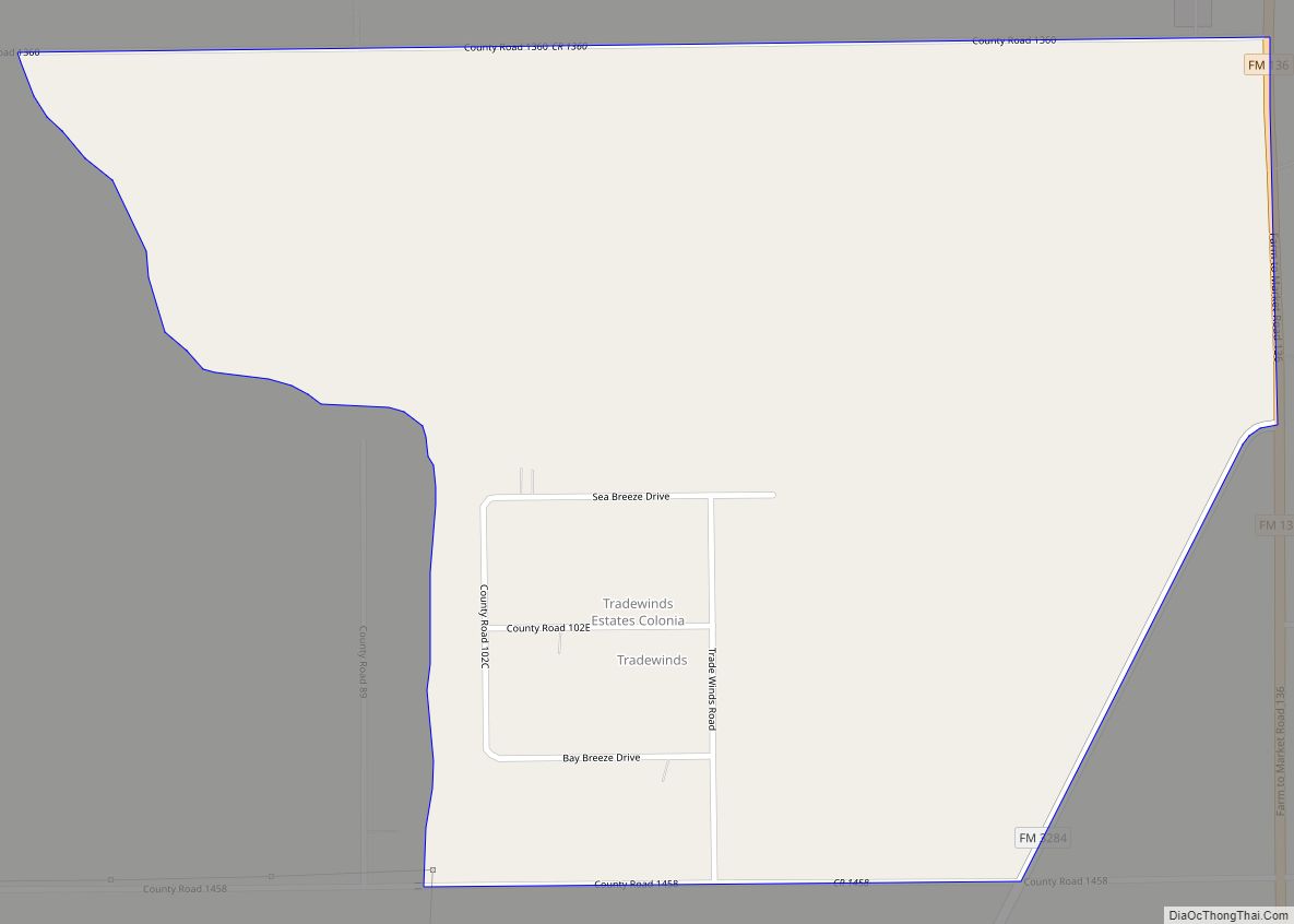
Tradewinds is a census-designated place (CDP) in San Patricio County, Texas, United States. The population was 180 at the 2010 census. Tradewinds CDP overview: Name: Tradewinds CDP LSAD Code: 57 LSAD Description: CDP (suffix) State: Texas County: San Patricio County Elevation: 20 ft (6 m) Total Area: 1.1 sq mi (2.8 km²) Land Area: 1.1 sq mi (2.8 km²) Water Area: 0.0 sq mi (0.0 km²) ... Read more
Texas Cities and Places
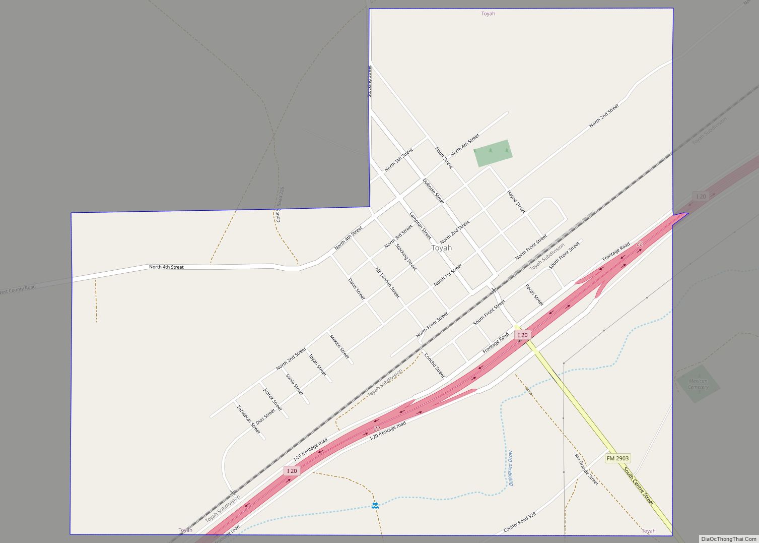
Toyah is a town in Reeves County, Texas, United States. The population was 90 at the 2010 census. Toyah town overview: Name: Toyah town LSAD Code: 43 LSAD Description: town (suffix) State: Texas County: Reeves County Elevation: 2,913 ft (888 m) Total Area: 1.62 sq mi (4.20 km²) Land Area: 1.62 sq mi (4.20 km²) Water Area: 0.00 sq mi (0.00 km²) Total Population: 90 Population ... Read more
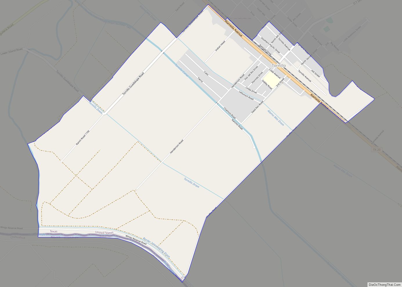
Tornillo (/tɔːrˈniːjoʊ/ tor-NEE-yoh) is a census-designated place (CDP) and border town in El Paso County, Texas, United States. The population was 1,568 at the 2010 census. It is part of the El Paso Metropolitan Statistical Area. The Tornillo and Guadalupe, Chihuahua, area is connected by the Tornillo-Guadalupe Bridge. The town is the home of Sonic ... Read more
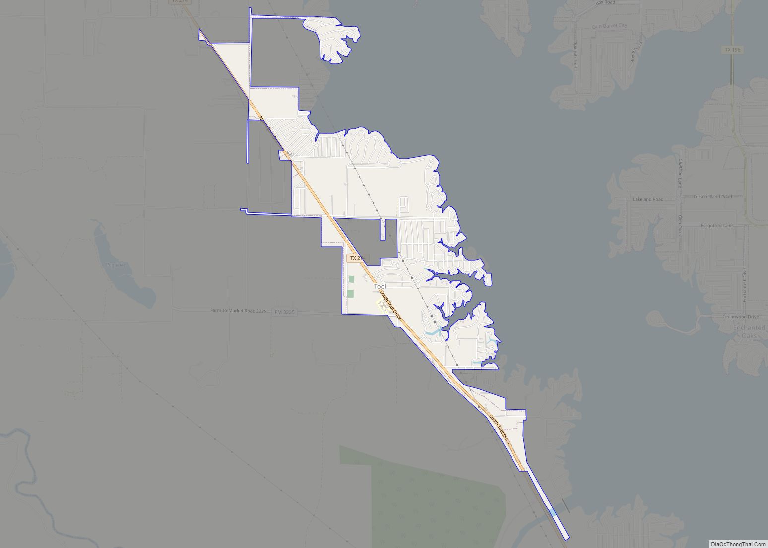
Tool is a city in Henderson County, Texas, United States. The population was 2,175 at the 2020 census. Located on the west side of Cedar Creek Lake, it is a popular second home and retiree destination. Tool city overview: Name: Tool city LSAD Code: 25 LSAD Description: city (suffix) State: Texas County: Henderson County Elevation: ... Read more
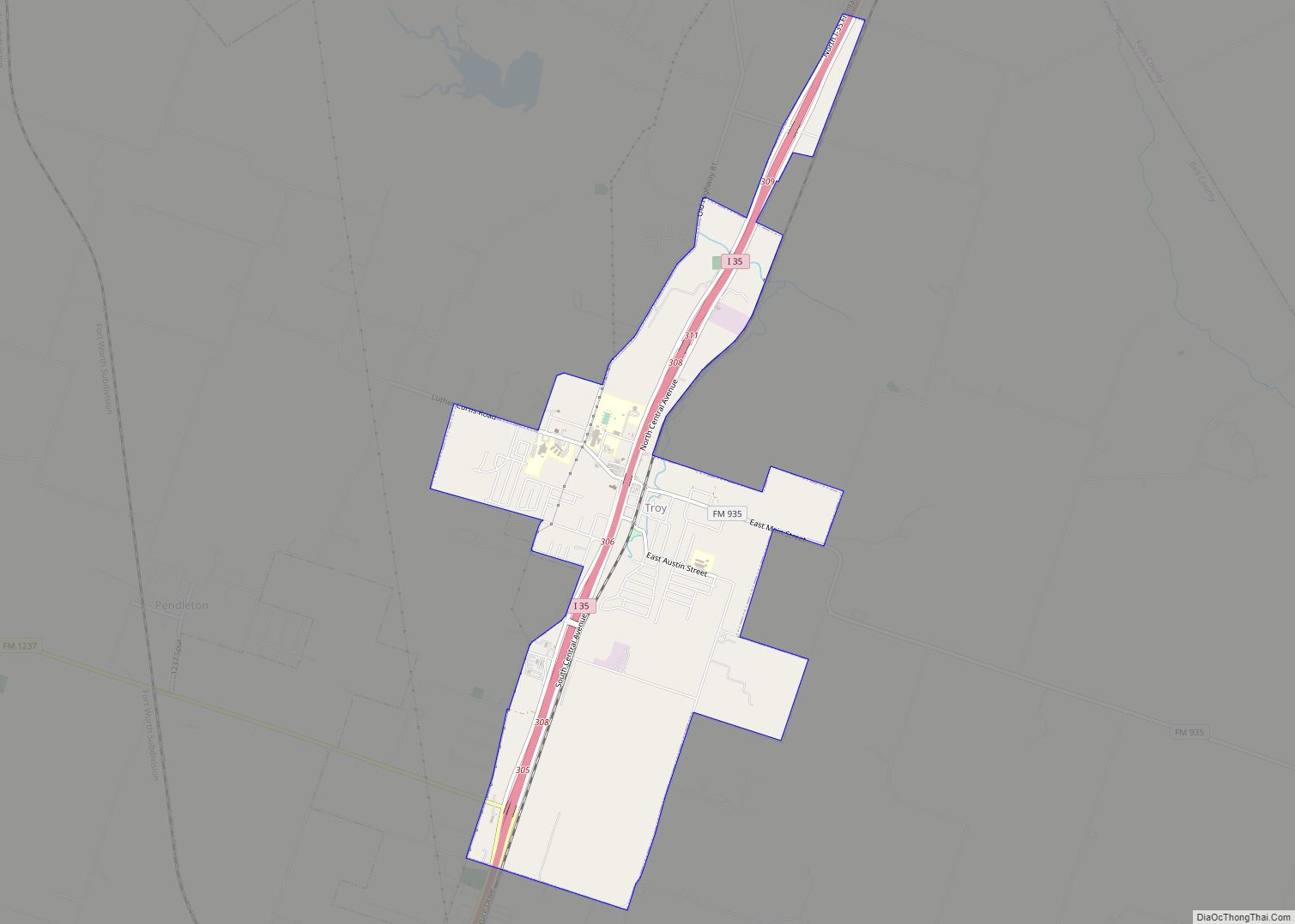
Troy is a city in Bell County, Texas, United States. The population was 2,375 at the 2020 census. It is part of the Killeen–Temple–Fort Hood Metropolitan Statistical Area. Troy city overview: Name: Troy city LSAD Code: 25 LSAD Description: city (suffix) State: Texas County: Bell County Elevation: 679 ft (207 m) Total Area: 4.66 sq mi (12.08 km²) Land Area: ... Read more
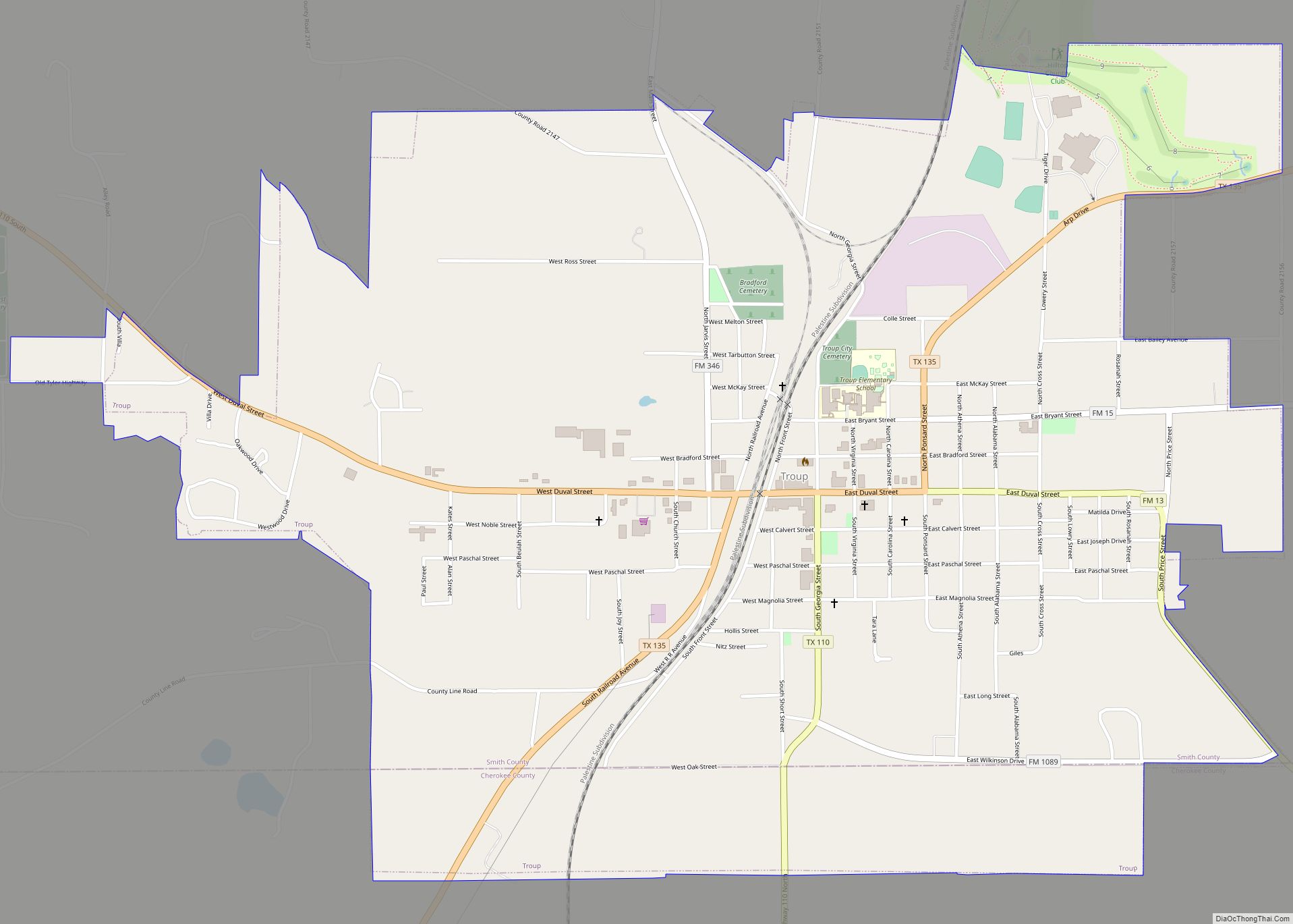
Troup is a city in Smith and Cherokee Counties in the U.S. state of Texas. Its population was 2,006 at the 2020 census. Troup lies in two counties in East Texas. Troup city overview: Name: Troup city LSAD Code: 25 LSAD Description: city (suffix) State: Texas County: Cherokee County, Smith County Elevation: 456 ft (139 m) Total ... Read more
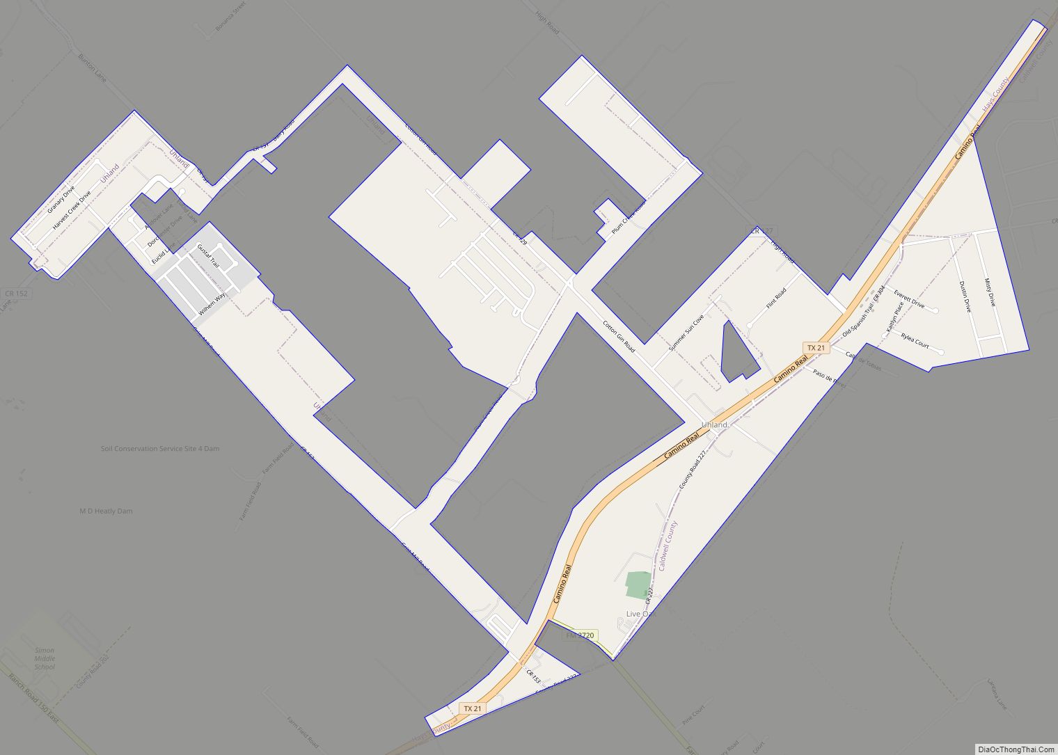
Uhland (/ˈjuːlənd/ YOO-lənd) is a city in Caldwell and Hays counties in the U.S. state of Texas. The population was 1,588 at the 2020 census, up from 1,014 at the 2010 census. Uhland is named after the German poet Ludwig Uhland. Like its neighbor to the north, the city of Niederwald, Uhland was also settled ... Read more
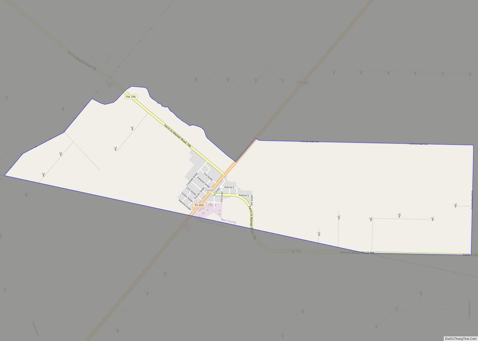
Tynan is a census-designated place (CDP) in Bee County, Texas, United States. The population was 278 at the 2010 census. Tynan CDP overview: Name: Tynan CDP LSAD Code: 57 LSAD Description: CDP (suffix) State: Texas County: Bee County Elevation: 167 ft (51 m) Total Area: 3.5 sq mi (9.0 km²) Land Area: 3.5 sq mi (9.0 km²) Water Area: 0.0 sq mi (0.0 km²) Total Population: ... Read more
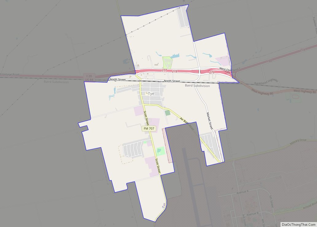
Tye is a city in Taylor County, Texas, United States. The population was 1,242 at the 2010 census. It is part of the Abilene, Texas Metropolitan Statistical Area. Tye city overview: Name: Tye city LSAD Code: 25 LSAD Description: city (suffix) State: Texas County: Taylor County Elevation: 1,795 ft (547 m) Total Area: 4.80 sq mi (12.43 km²) Land Area: ... Read more
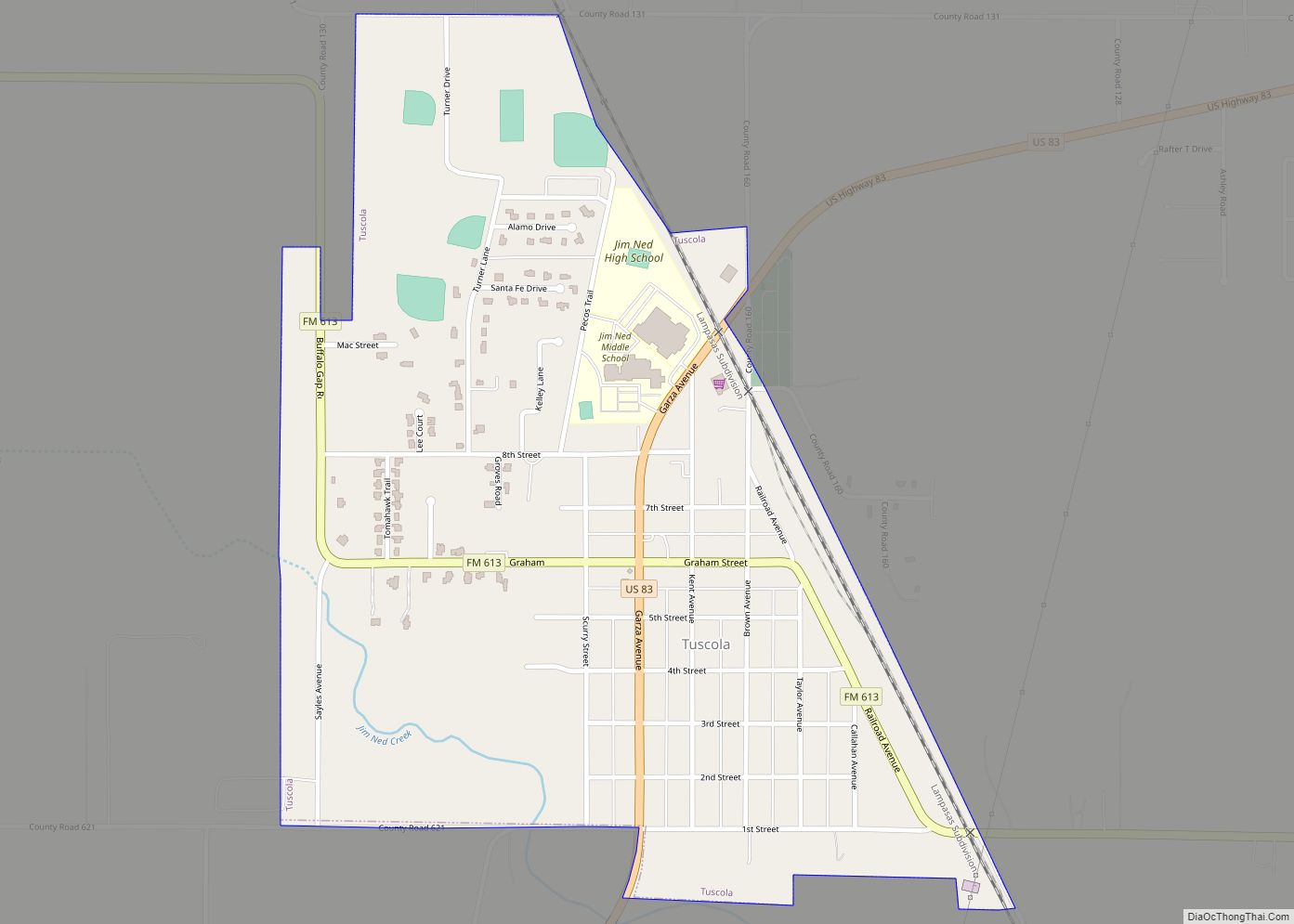
Tuscola is a city in Taylor County, Texas, United States. The population was 742 at the 2010 census. It is part of the Abilene, Texas Metropolitan Statistical Area. Tuscola city overview: Name: Tuscola city LSAD Code: 25 LSAD Description: city (suffix) State: Texas County: Taylor County Elevation: 1,978 ft (603 m) Total Area: 0.85 sq mi (2.20 km²) Land Area: ... Read more
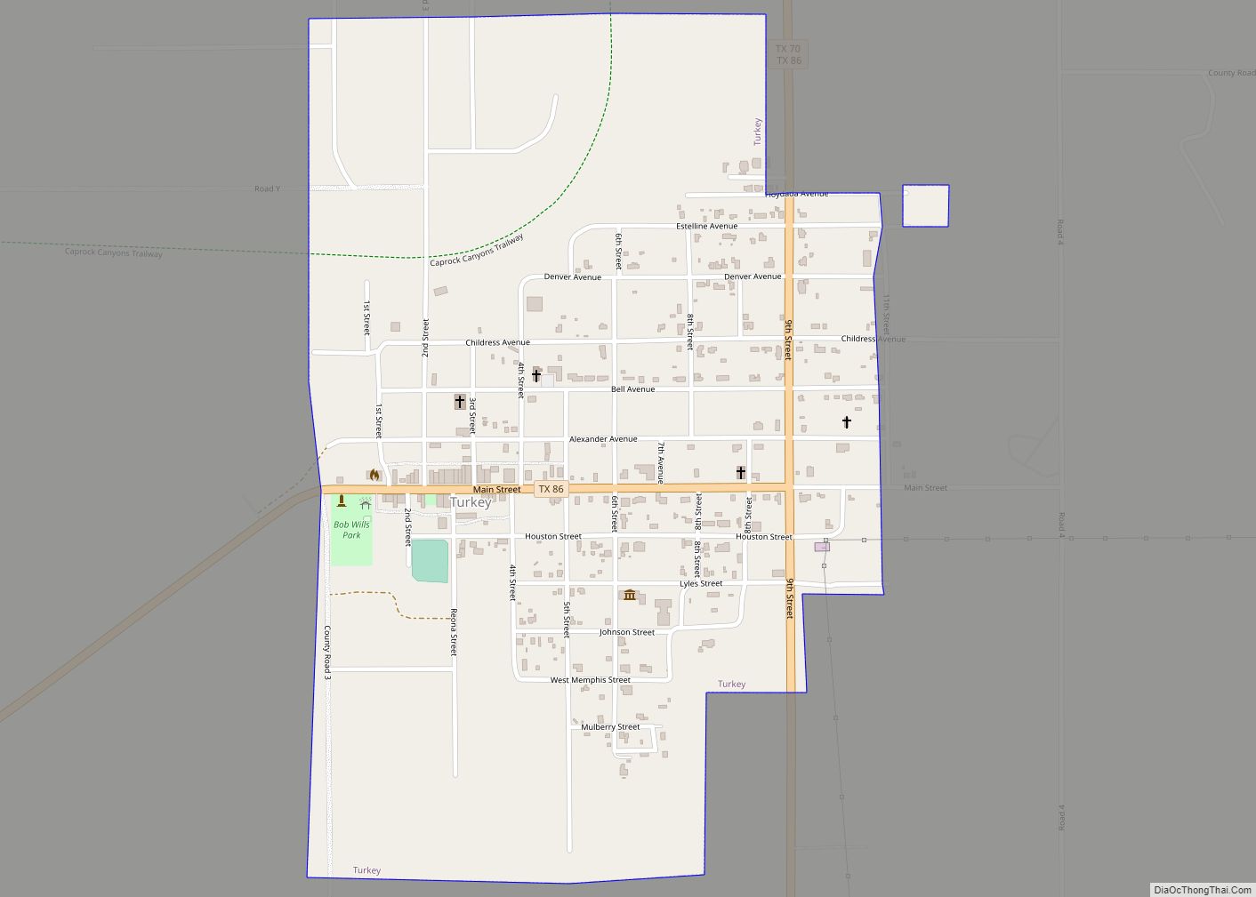
Turkey is a city in Hall County, Texas, United States. The population was 421 at the 2010 census, down from 494 at the 2000 census. Turkey city overview: Name: Turkey city LSAD Code: 25 LSAD Description: city (suffix) State: Texas County: Hall County Elevation: 2,333 ft (711 m) Total Area: 0.82 sq mi (2.12 km²) Land Area: 0.82 sq mi (2.12 km²) Water ... Read more
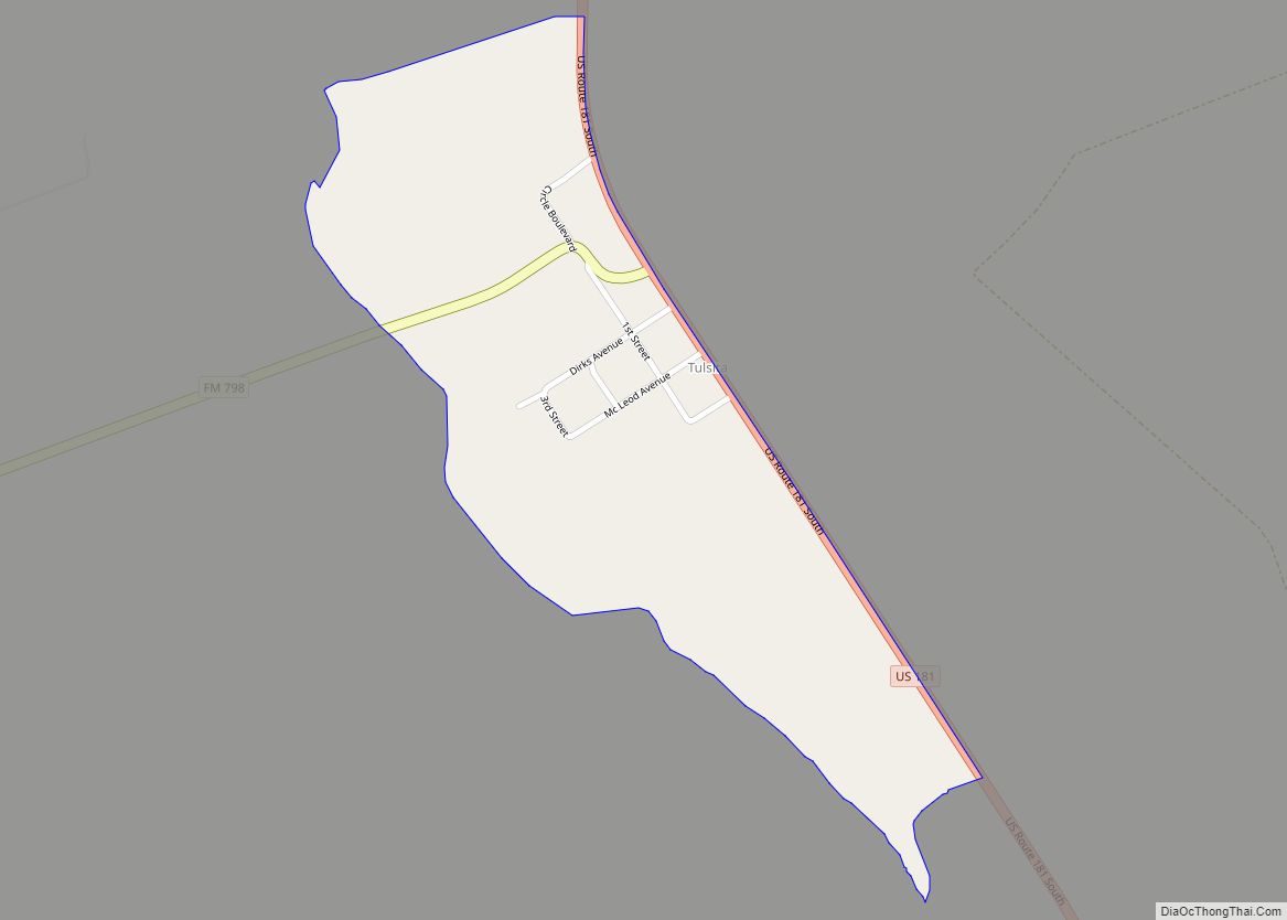
Tulsita is a census-designated place (CDP) in Bee County, Texas, United States. The population was 14 at the 2010 census. Tulsita CDP overview: Name: Tulsita CDP LSAD Code: 57 LSAD Description: CDP (suffix) State: Texas County: Bee County Elevation: 318 ft (97 m) Total Area: 0.29 sq mi (0.75 km²) Land Area: 0.29 sq mi (0.75 km²) Water Area: 0.0 sq mi (0.0 km²) Total Population: ... Read more
