Map of Dorchester city, Texas

Map of Dorchester city, Texas

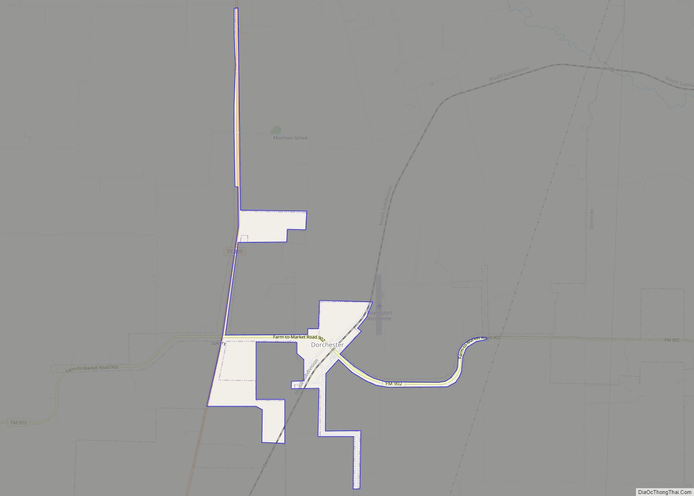
Dorchester is a city in Grayson County, Texas, United States. The population was 148 at the 2010 census, up from 109 at the 2000 census. It is part of the Sherman–Denison Metropolitan Statistical Area. Dorchester city overview: Name: Dorchester city LSAD Code: 25 LSAD Description: city (suffix) State: Texas County: Grayson County Elevation: 866 ft (264 m) … Read more

Map of Doolittle CDP, Texas

Map of Doolittle CDP, Texas

Doolittle is a census-designated place (CDP) in Hidalgo County, Texas. The population was 2,769 at the 2010 United States Census. It is part of the McAllen–Edinburg–Mission Metropolitan Statistical Area. Doolittle CDP overview: Name: Doolittle CDP LSAD Code: 57 LSAD Description: CDP (suffix) State: Texas County: Hidalgo County Elevation: 85 ft (26 m) Total Area: 4.3 sq mi (11.0 km²) Land … Read more

Map of Donna city

Map of Donna city

Donna is a city in Hidalgo County, Texas, United States. The population was 16,797 at the 2020 census. Donna city overview: Name: Donna city LSAD Code: 25 LSAD Description: city (suffix) State: Texas County: Hidalgo County Elevation: 92 ft (28 m) Total Area: 8.30 sq mi (21.50 km²) Land Area: 8.29 sq mi (21.48 km²) Water Area: 0.01 sq mi (0.03 km²) Total Population: 16,797 Population … Read more

Map of Domino town

Map of Domino town

Domino is a town in Cass County, Texas, United States. The population was 93 at the 2010 census, up from 52 at the 2000 census; in 2020, its population was 71. Domino is the only town in Cass County that is wet. Domino town overview: Name: Domino town LSAD Code: 43 LSAD Description: town (suffix) … Read more

Map of Doffing CDP

Map of Doffing CDP

Doffing is a census-designated place (CDP) in Hidalgo County, Texas. The population was 5,091 at the 2010 United States Census. It is part of the McAllen–Edinburg–Mission Metropolitan Statistical Area. Doffing CDP overview: Name: Doffing CDP LSAD Code: 57 LSAD Description: CDP (suffix) State: Texas County: Hidalgo County Elevation: 194 ft (59 m) Total Area: 4.3 sq mi (11.2 km²) Land … Read more

Map of Dodson town, Texas

Map of Dodson town, Texas

Dodson is a town in Collingsworth County, Texas, United States. The population was 109 at the 2010 census. Dodson town overview: Name: Dodson town LSAD Code: 43 LSAD Description: town (suffix) State: Texas County: Collingsworth County Elevation: 1,791 ft (546 m) Total Area: 0.61 sq mi (1.58 km²) Land Area: 0.61 sq mi (1.58 km²) Water Area: 0.00 sq mi (0.00 km²) Total Population: 109 Population … Read more

Map of Dodd City town

Map of Dodd City town

Dodd City is a town in Fannin County, in the U.S. state of Texas. The population was 369 at the 2010 census, down from 419 at the 2000 census. Dodd City town overview: Name: Dodd City town LSAD Code: 43 LSAD Description: town (suffix) State: Texas County: Fannin County Elevation: 673 ft (205 m) Total Area: 1.77 sq mi … Read more

Map of Driftwood CDP, Texas

Map of Driftwood CDP, Texas

Driftwood is a census-designated place and unincorporated community in northern Hays County, Texas, United States. Per the 2020 census, the population was 106. Driftwood CDP overview: Name: Driftwood CDP LSAD Code: 57 LSAD Description: CDP (suffix) State: Texas County: Hays County Elevation: 1,043 ft (318 m) Total Area: 1.29 sq mi (3.35 km²) Land Area: 1.29 sq mi (3.35 km²) Water Area: 0.0 sq mi … Read more

Map of Earth city

Map of Earth city

Earth is a small, rural city in Lamb County, West Texas, United States. As of the 2010 Census, the population was 1,065. Earth city overview: Name: Earth city LSAD Code: 25 LSAD Description: city (suffix) State: Texas County: Lamb County Elevation: 3,694 ft (1,126 m) Total Area: 1.20 sq mi (3.11 km²) Land Area: 1.20 sq mi (3.11 km²) Water Area: 0.00 sq mi (0.00 km²) … Read more

Map of Early city, Texas

Map of Early city, Texas

Early is a city located in Brown County in west-central Texas, in the United States. It is a suburb of Brownwood, and the population was 2,762 at the 2010 census. It is named for Walter U. Early, who donated land for the schools. It is home to the Early Independent School District and the Heartland … Read more

Map of Eagle Pass city

Map of Eagle Pass city

Eagle Pass is a city in and the county seat of Maverick County in the U.S. state of Texas. Its population was 28,130 as of the 2020 census. Eagle Pass borders the city of Piedras Negras, Coahuila, Mexico, which is to the southwest and across the Rio Grande. The Eagle Pass-Piedras Negras metropolitan area (EP-PN) … Read more

Map of Eagle Lake city, Texas

Map of Eagle Lake city, Texas

Eagle Lake is a city in southeastern Colorado County, Texas, United States. The population was 3,442 at the 2020 census. It is home to a golf course, the largest private lake in Texas, and the Eagle Lake Regional Airport, which serves light aircraft. The lake, along with adjacent rice fields, attracts a large variety of … Read more