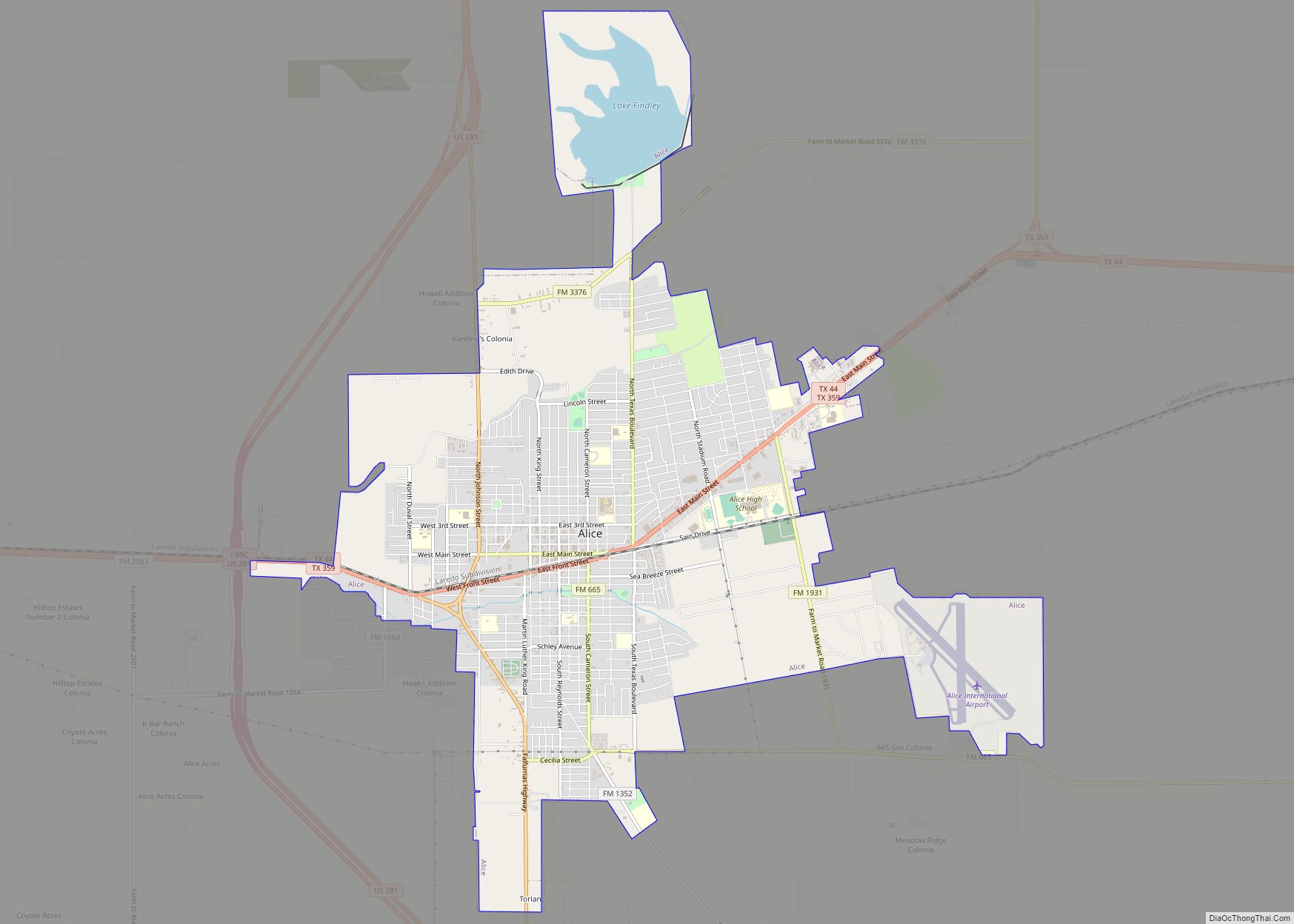
Alice is a city in, and the county seat of, Jim Wells County, Texas, United States, in the South Texas region of the state. The population was 19,104 at the 2010 census. Alice was established in 1888. First it was called “Bandana”, then “Kleberg”, and finally “Alice” after Alice Gertrudis King Kleberg, the daughter of ... Read more
Texas Cities and Places
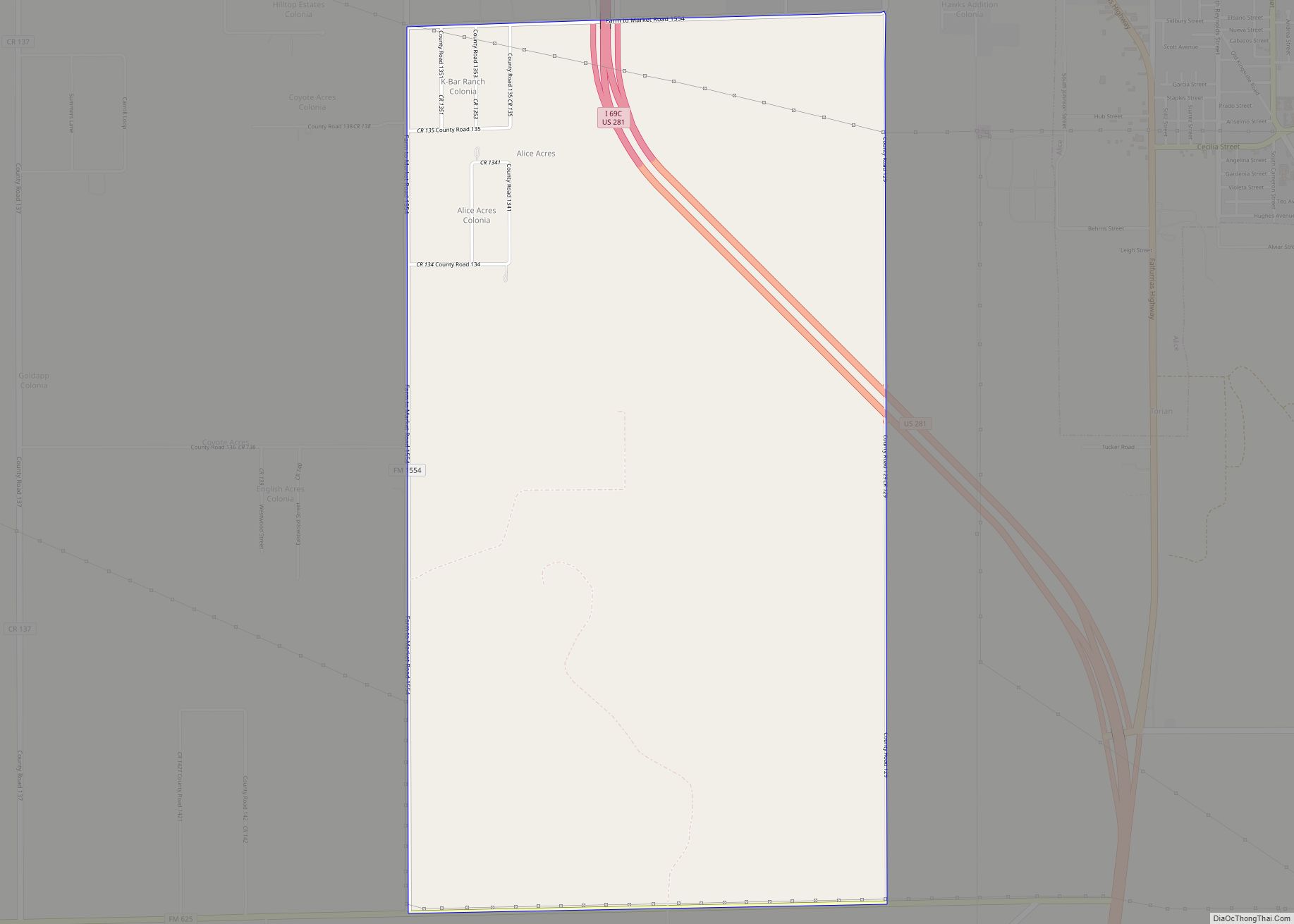
Alice Acres is a census-designated place (CDP) in Jim Wells County, Texas, United States. The population was 490 at the 2010 census. Alice Acres CDP overview: Name: Alice Acres CDP LSAD Code: 57 LSAD Description: CDP (suffix) State: Texas County: Jim Wells County Elevation: 233 ft (71 m) Total Area: 5.9 sq mi (15.3 km²) Land Area: 5.9 sq mi (15.3 km²) Water ... Read more
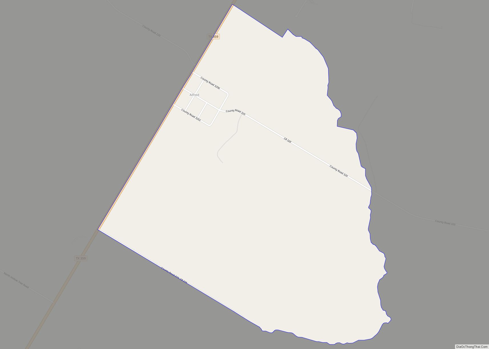
Alfred is an unincorporated community and census-designated place northeast of Alice in Jim Wells County, Texas, United States. Its population was 291 as of the 2010 census. It is known for the outdoor flea markets held on the first whole weekend of the month. Alfred CDP overview: Name: Alfred CDP LSAD Code: 57 LSAD Description: ... Read more
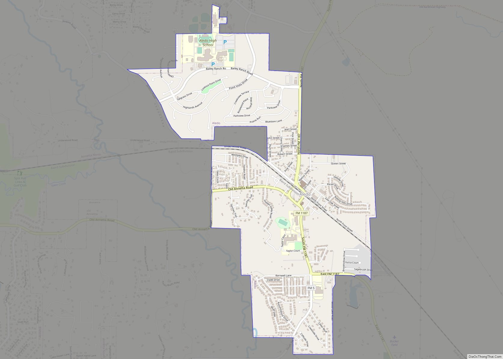
Aledo (/əˈliːdoʊ/ ə-LEE-doh) is a city in Parker County, Texas, United States. The population was 4,858 in 2020. The city is served by the Aledo Independent School District. Aledo city overview: Name: Aledo city LSAD Code: 25 LSAD Description: city (suffix) State: Texas County: Parker County Elevation: 883 ft (269 m) Total Area: 2.62 sq mi (6.80 km²) Land Area: ... Read more
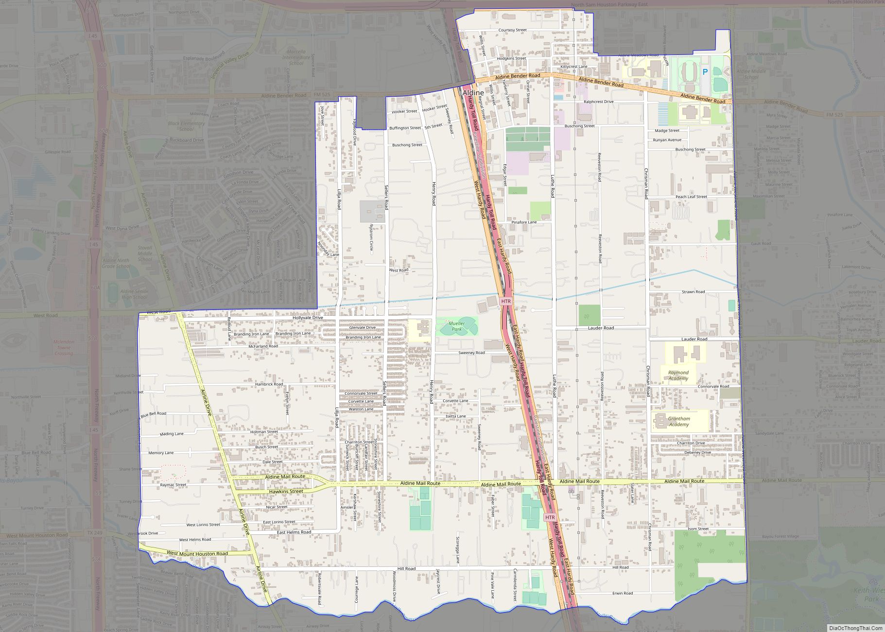
Aldine (/ˈɔːldiːn/ AWL-deen) is a census-designated place (CDP) in unincorporated central Harris County, Texas, United States, located within the extraterritorial jurisdiction of Houston. The population was 15,999 at the 2020 census. The community is located on the Hardy Toll Road, Union Pacific Railroad, and Farm to Market Road 525. The Aldine area is near Houston’s ... Read more
Albany is a city in Shackelford County, Texas, United States. The population was 2,034 at the 2010 Census. It is the county seat of Shackelford County. Albany city overview: Name: Albany city LSAD Code: 25 LSAD Description: city (suffix) State: Texas County: Shackelford County Elevation: 1,414 ft (431 m) Total Area: 1.57 sq mi (4.06 km²) Land Area: 1.57 sq mi (4.06 km²) ... Read more
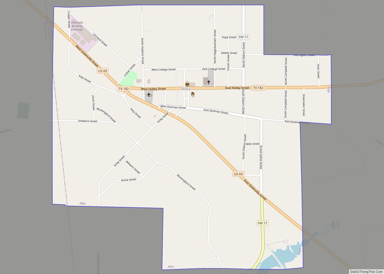
Alba (/ˈælbə/ AL-bə) is a town located at the intersection of U.S. Highway 69 and Farm To Market Road 17 on the western edge of Wood County, Texas south of Lake Fork and approximately ten miles west of Quitman. The population was 473 in the 2020 U.S. Census. Alba town overview: Name: Alba town LSAD ... Read more
Alamo (/ˈæləmoʊ/ AL-ə-moh), located in the Rio Grande Valley in what is nicknamed the “Land of Two Summers”, is a city in the irrigated area of southern Hidalgo County, Texas, United States. Known as the “Refuge to the Valley”, it is located in an area of abundant vegetable farming and citrus groves, and is a ... Read more
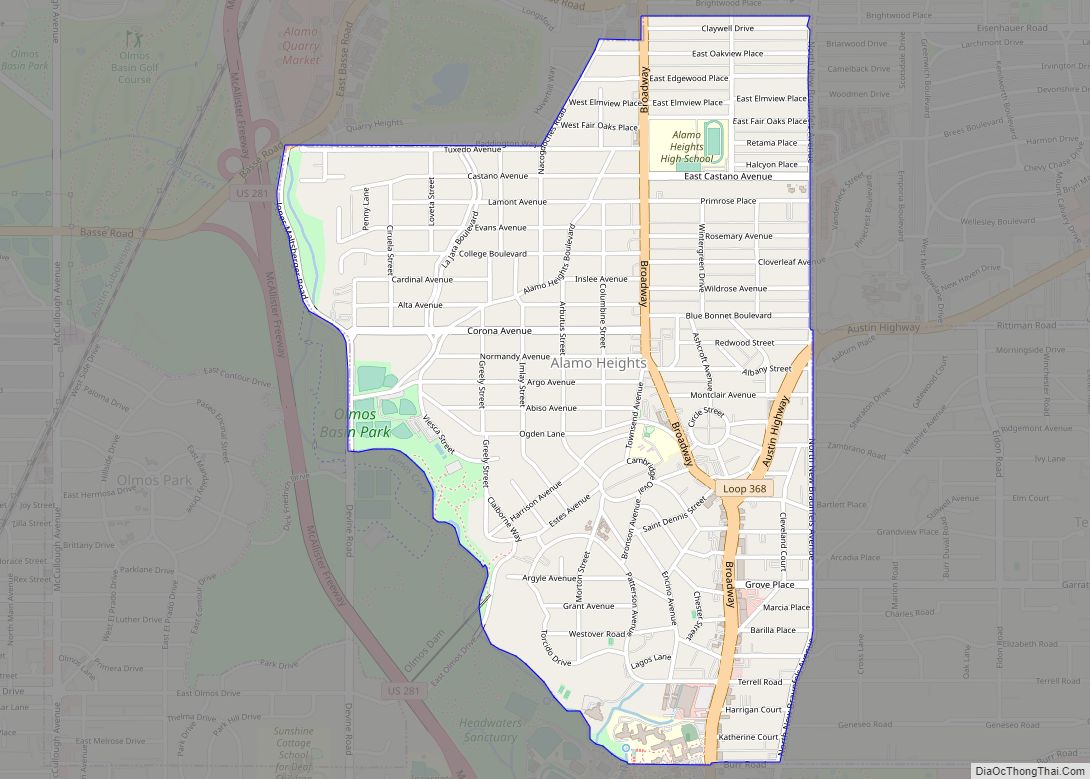
Alamo Heights is an incorporated city that is surrounded by the city of San Antonio in Bexar County in the U.S. state of Texas. At the time of the 2020 census, the population of Alamo Heights was 7,357. It is part of the Greater San Antonio metropolitan area. A portion of the University of the ... Read more
Alma is a town in Ellis County, Texas, United States. The population was 331 at the 2010 census. Alma town overview: Name: Alma town LSAD Code: 43 LSAD Description: town (suffix) State: Texas County: Ellis County Elevation: 469 ft (143 m) Total Area: 5.19 sq mi (13.43 km²) Land Area: 5.17 sq mi (13.39 km²) Water Area: 0.02 sq mi (0.04 km²) Total Population: 331 Population ... Read more
Amaya is a census-designated place (CDP) in Zavala County, Texas, United States. This was a new CDP formed from parts of the former Las Colonias CDP prior to the 2010 census with a population of 93. Amaya CDP overview: Name: Amaya CDP LSAD Code: 57 LSAD Description: CDP (suffix) State: Texas County: Zavala County Total ... Read more
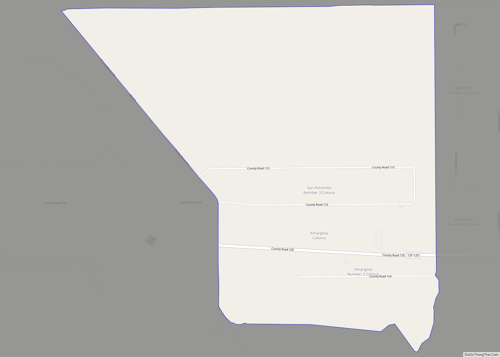
Amargosa is an unincorporated community and census-designated place in Jim Wells County, Texas, United States. Its population was 291 at the 2010 census. Prior to 2010, the community was grouped with nearby Owl Ranch as part of the Owl Ranch-Amargosa census-designated place. The community is named for the Amargosa Creek that runs nearby. The word ... Read more
