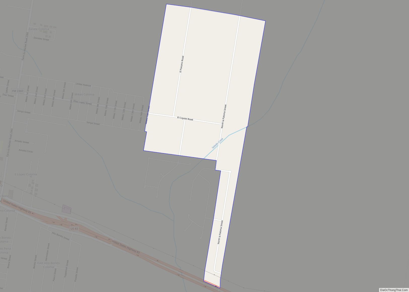
La Paloma Ranchettes is a census-designated place (CDP) in Starr County, Texas, United States. This was a new CDP for the 2010 census with a population of 239. La Paloma Ranchettes CDP overview: Name: La Paloma Ranchettes CDP LSAD Code: 57 LSAD Description: CDP (suffix) State: Texas County: Starr County Total Area: 0.5 sq mi (1 km²) Land ... Read more
Texas Cities and Places
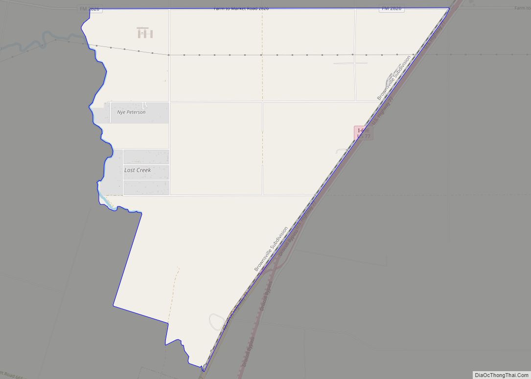
La Paloma-Lost Creek is a census-designated place (CDP) in Nueces County, Texas, United States. The population was 408 at the 2010 census, up from 323 at the 2000 census. La Paloma-Lost Creek CDP overview: Name: La Paloma-Lost Creek CDP LSAD Code: 57 LSAD Description: CDP (suffix) State: Texas County: Nueces County Total Area: 8.3 sq mi (21.5 km²) ... Read more
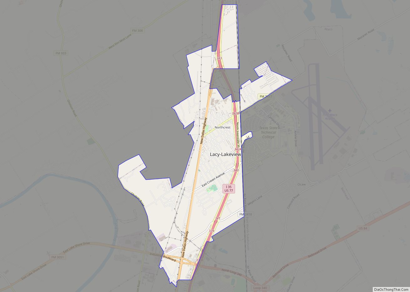
Lacy Lakeview is a city in McLennan County, Texas, United States. It is part of the Waco Metropolitan Statistical Area. The population was 6,988 at the 2020 census. The city’s name is sometimes spelled with a hyphen (as Lacy-Lakeview), but the official spelling omits the hyphen. Lacy-Lakeview city overview: Name: Lacy-Lakeview city LSAD Code: 25 ... Read more
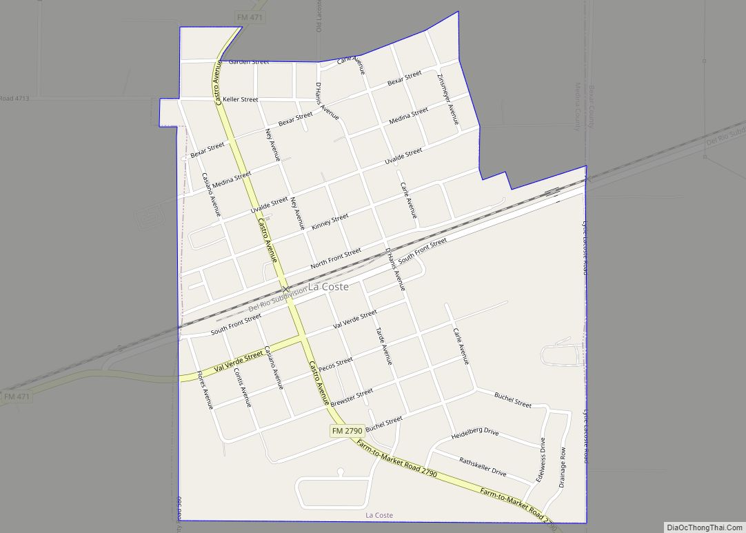
La Coste is a city in Medina County, Texas, United States. The population was 1,119 at the 2010 census. It is part of the San Antonio Metropolitan Statistical Area. LaCoste city overview: Name: LaCoste city LSAD Code: 25 LSAD Description: city (suffix) State: Texas County: Medina County Elevation: 712 ft (217 m) Total Area: 0.63 sq mi (1.64 km²) Land ... Read more
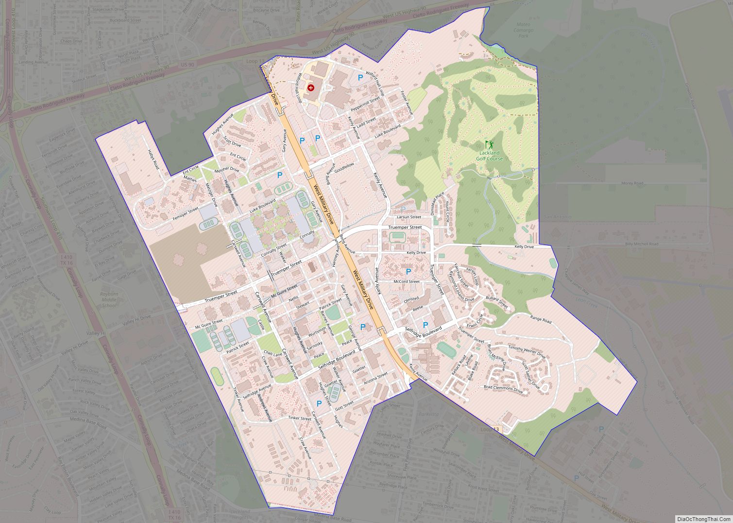
Lackland Air Force Base (IATA: SKF, ICAO: KSKF, FAA LID: SKF) is a United States Air Force (USAF) base located in Bexar County, Texas. The base is under the jurisdiction of the 802d Mission Support Group, Air Education and Training Command (AETC) and an enclave of the city of San Antonio. It is the only ... Read more
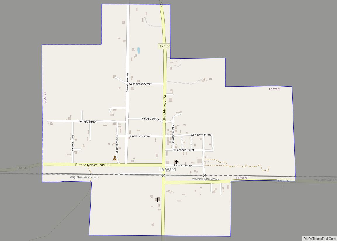
La Ward is a city in Jackson County, Texas, United States. The population was 213 at the 2010 census. La Ward city overview: Name: La Ward city LSAD Code: 25 LSAD Description: city (suffix) State: Texas County: Jackson County Elevation: 39 ft (12 m) Total Area: 0.81 sq mi (2.10 km²) Land Area: 0.81 sq mi (2.10 km²) Water Area: 0.00 sq mi (0.00 km²) Total ... Read more
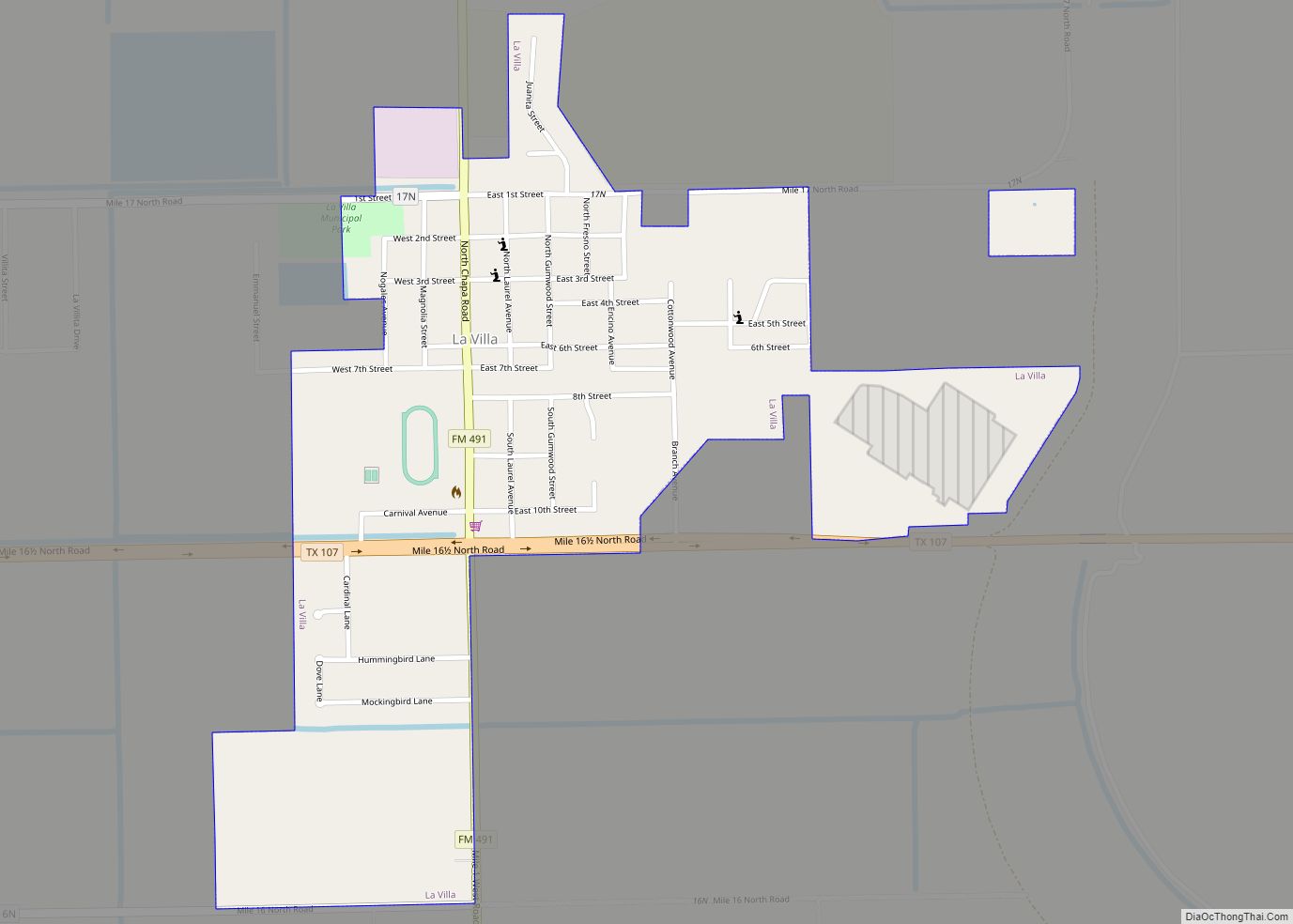
La Villa is a city in Hidalgo County, Texas. The population was 1,957 at the 2010 United States Census. It is part of the McAllen–Edinburg–Mission and Reynosa–McAllen metropolitan areas. La Villa city overview: Name: La Villa city LSAD Code: 25 LSAD Description: city (suffix) State: Texas County: Hidalgo County Elevation: 52 ft (16 m) Total Area: 0.60 sq mi ... Read more
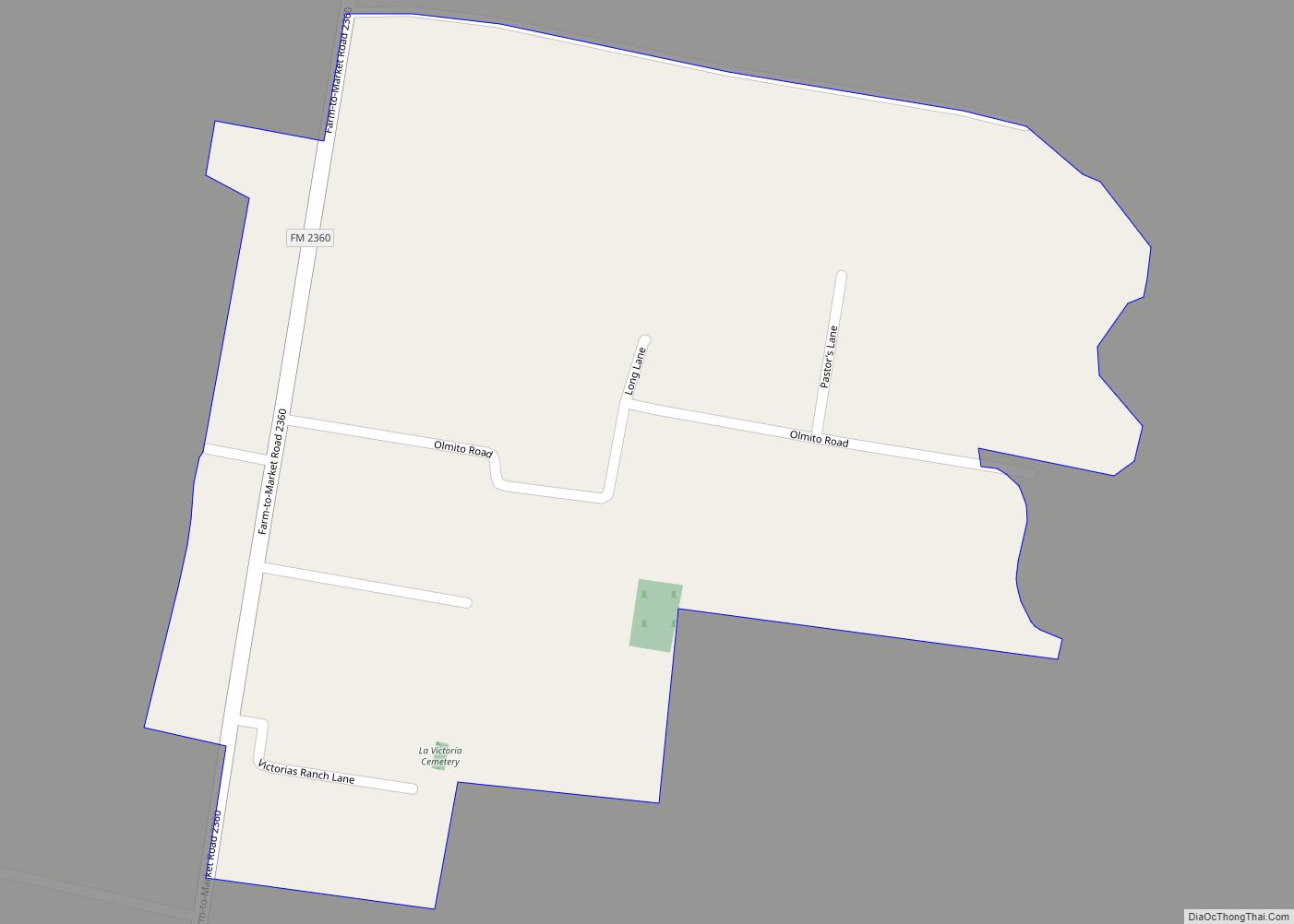
La Victoria is a census-designated place (CDP) in Starr County, Texas, United States. La Victoria went through some changes prior to the 2010 census. It gained area, had parts taken to form new CDPs, and lost additional area. Only a small part of 2010 La Victoria CDP was within the 2000 La Victoria CDP. The ... Read more
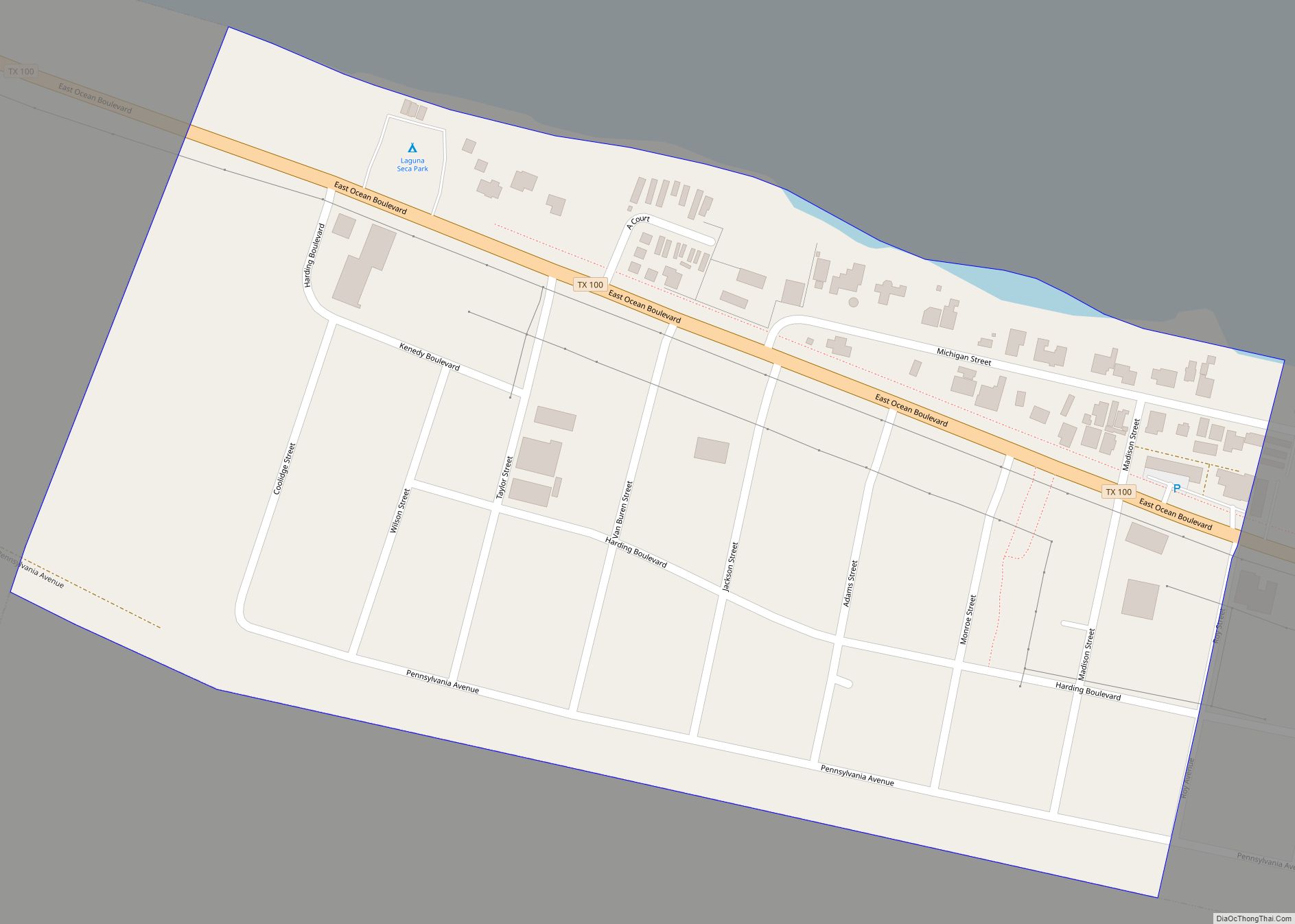
Laguna Heights is a census-designated place (CDP) in Cameron County, Texas, United States. The population was 3,488 at the 2010 census. Laguna Heights CDP overview: Name: Laguna Heights CDP LSAD Code: 57 LSAD Description: CDP (suffix) State: Texas County: Cameron County Elevation: 10 ft (3 m) Total Area: 0.59 sq mi (1.54 km²) Land Area: 0.59 sq mi (1.54 km²) Water Area: 0.0 sq mi ... Read more
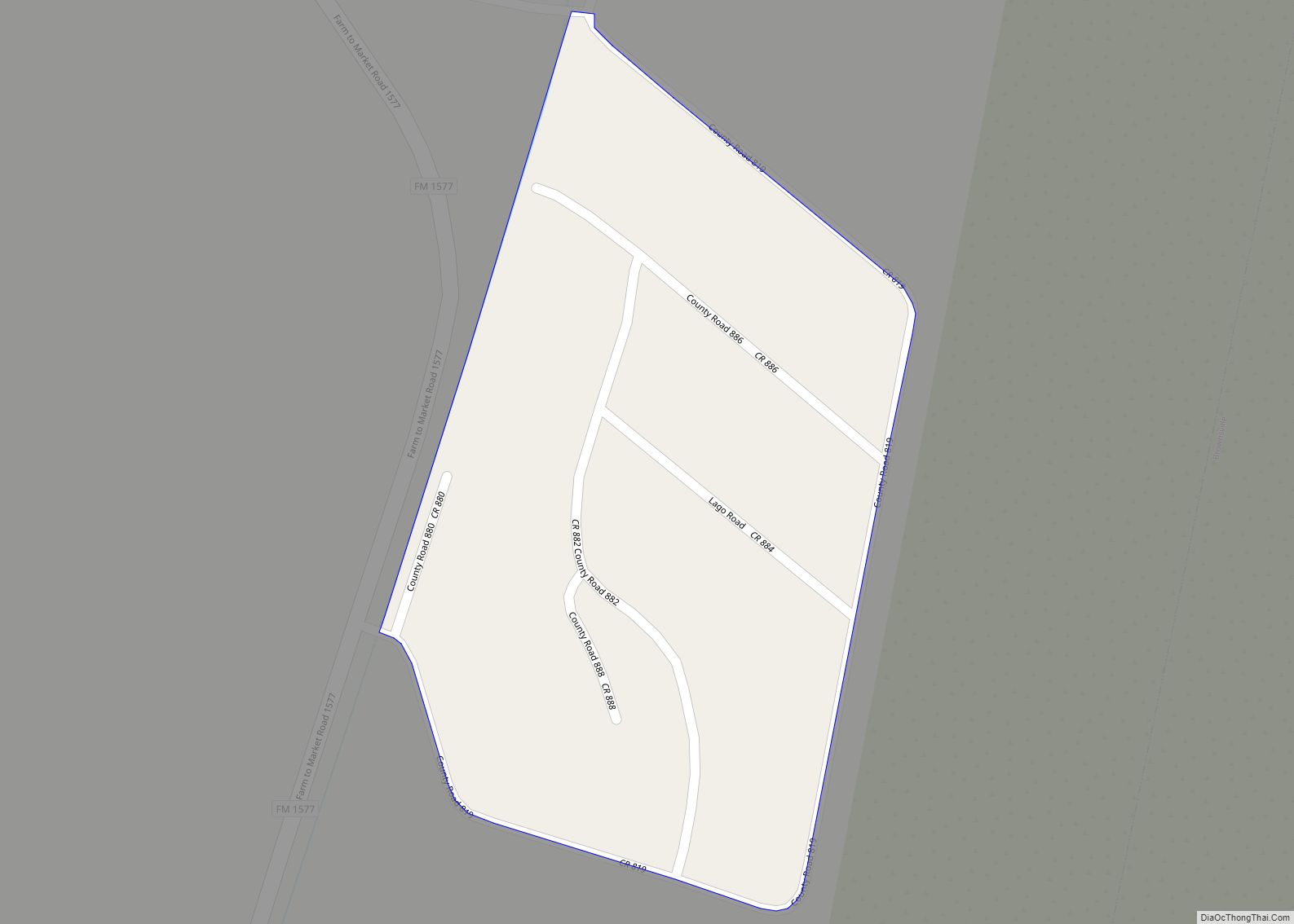
Lago is a census-designated place (CDP) in Cameron County, Texas, United States. The population was 204 at the 2010 census. It is part of the Brownsville–Harlingen Metropolitan Statistical Area. Lago CDP overview: Name: Lago CDP LSAD Code: 57 LSAD Description: CDP (suffix) State: Texas County: Cameron County Elevation: 39 ft (12 m) Total Area: 0.05 sq mi (0.12 km²) Land ... Read more
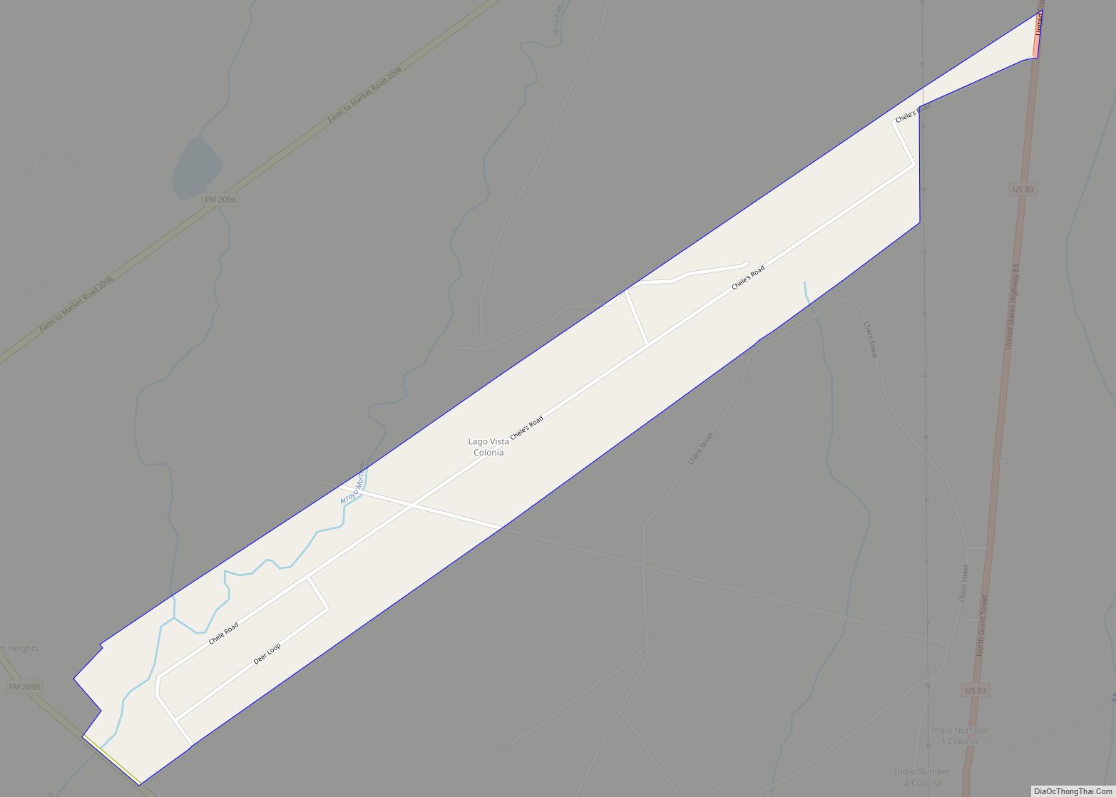
Lago Vista is a census-designated place (CDP) in Starr County, Texas, United States. It is a new CDP formed from part of the Falcon Heights CDP prior to the 2010 census. The CDP had a population of 133 in the 2020 census, up from 115 in the 2010 census. Lago Vista CDP overview: Name: Lago ... Read more
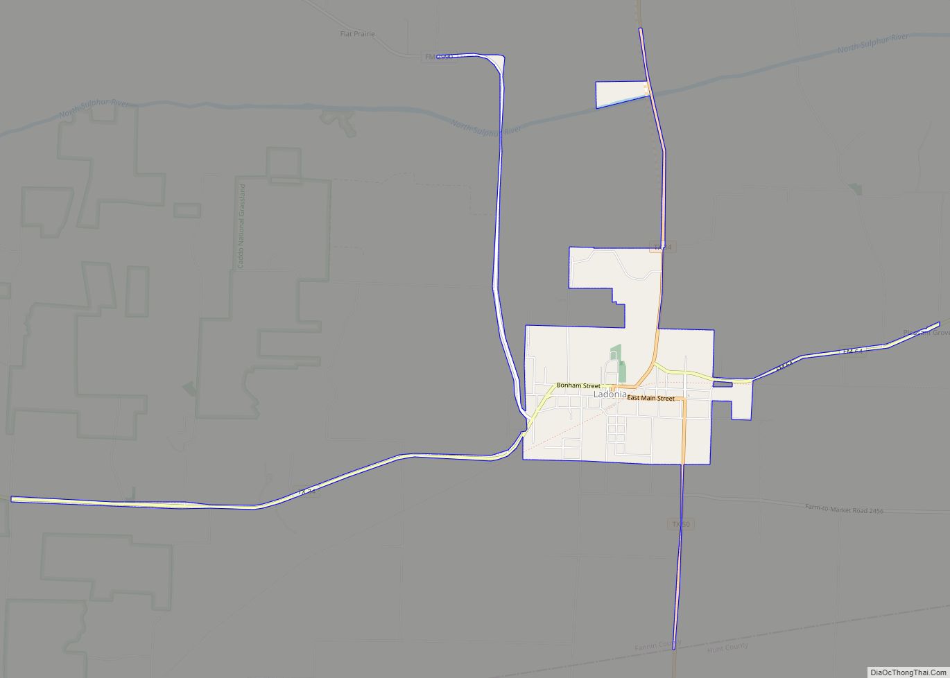
Ladonia is a town in Fannin County, Texas, United States. Its population was 612 at the 2010 census. Ladonia town overview: Name: Ladonia town LSAD Code: 43 LSAD Description: town (suffix) State: Texas County: Fannin County Elevation: 627 ft (191 m) Total Area: 1.99 sq mi (5.16 km²) Land Area: 1.99 sq mi (5.16 km²) Water Area: 0.00 sq mi (0.00 km²) Total Population: 612 Population ... Read more
