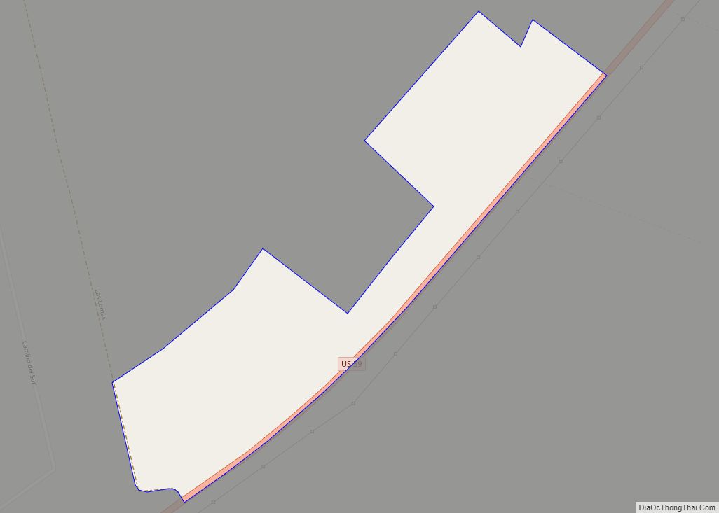
Las Haciendas is a census-designated place (CDP) in Webb County, Texas, United States. This was a new CDP formed from parts of the Ranchitos Las Lomas CDP prior to the 2010 census with a population of 7. Las Haciendas CDP overview: Name: Las Haciendas CDP LSAD Code: 57 LSAD Description: CDP (suffix) State: Texas County: ... Read more
Texas Cities and Places
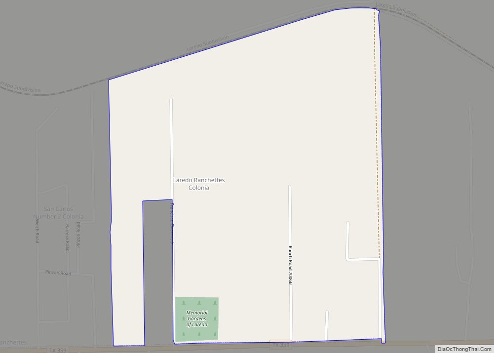
Laredo Ranchettes is a census-designated place (CDP) in Webb County, Texas, United States. The population was 22 at the 2010 census. Laredo Ranchettes CDP overview: Name: Laredo Ranchettes CDP LSAD Code: 57 LSAD Description: CDP (suffix) State: Texas County: Webb County Elevation: 591 ft (180 m) Total Area: 0.6 sq mi (2 km²) Land Area: 0.6 sq mi (2 km²) Water Area: 0.0 sq mi ... Read more
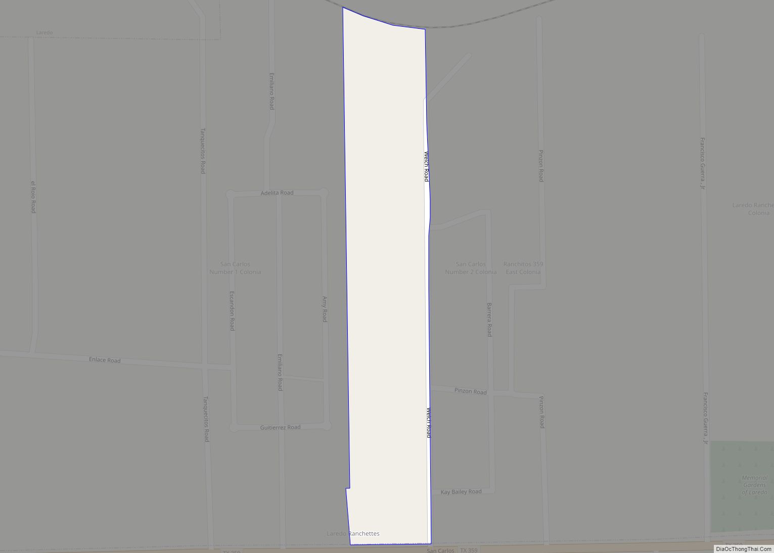
Laredo Ranchettes West is a census-designated place (CDP) in Webb County, Texas, United States. This was a new CDP formed from parts of the Laredo Ranchettes CDP prior to the 2010 census. Although a new CDP the population was listed as zero. Laredo Ranchettes West CDP overview: Name: Laredo Ranchettes West CDP LSAD Code: 57 ... Read more
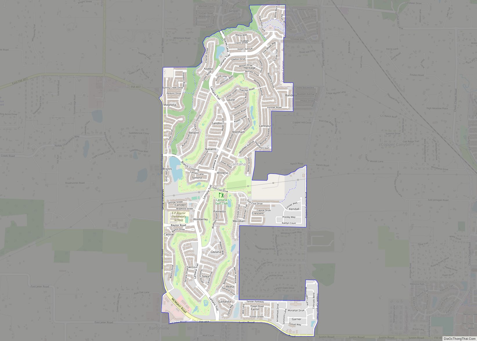
Lantana is an upscale census-designated place (CDP) and master-planned community originally developed by Republic Property Group, 8 miles (13 km) south of Denton in unincorporated Denton County, Texas, United States. The population of the CDP at the 2010 census was 6,874. Lantana had 3,274 occupied homes as of December 31, 2015, with an estimated population of ... Read more
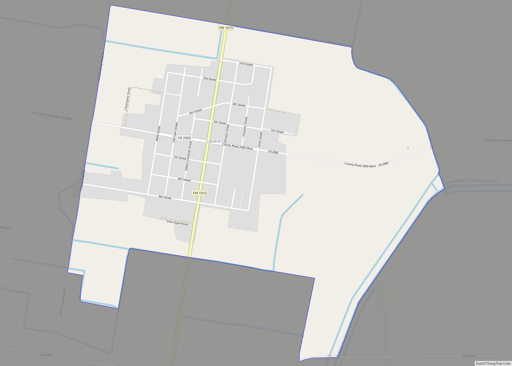
Lasara is a census-designated place (CDP) in Willacy County, Texas, United States. The population was 1,039 at the 2010 census. Lasara was named after Laura Harding and Sarah Gill, the wives of German settlers William Harding and Lamar Gill. Lasara CDP overview: Name: Lasara CDP LSAD Code: 57 LSAD Description: CDP (suffix) State: Texas County: ... Read more
Lasana is a census-designated place (CDP) in Cameron County, Texas, United States. The population was 84 at the 2010 census, down from 135 at the 2000 census. It is part of the Brownsville–Harlingen Metropolitan Statistical Area. Lasana CDP overview: Name: Lasana CDP LSAD Code: 57 LSAD Description: CDP (suffix) State: Texas County: Cameron County Elevation: ... Read more
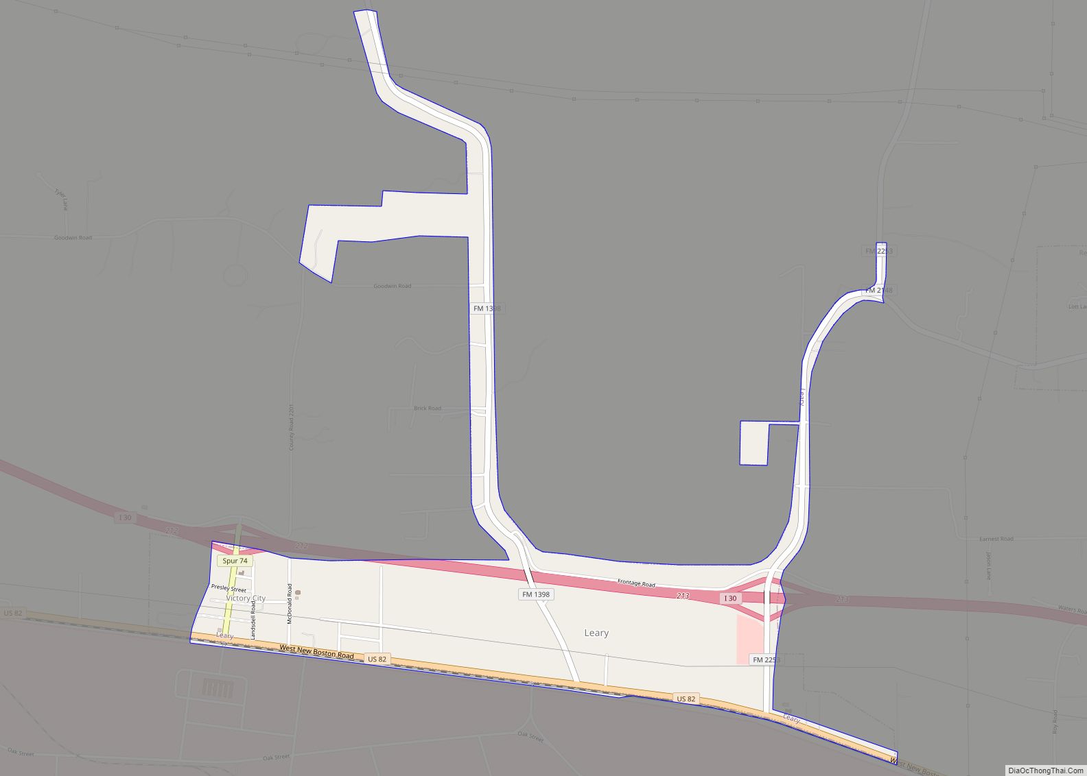
Leary is a city in Bowie County, Texas, United States. As part of the Texarkana metropolitan area, it had a 2020 census population of 433, down from 495 in 2010. Leary city overview: Name: Leary city LSAD Code: 25 LSAD Description: city (suffix) State: Texas County: Bowie County Elevation: 377 ft (115 m) Total Area: 1.31 sq mi (3.39 km²) ... Read more
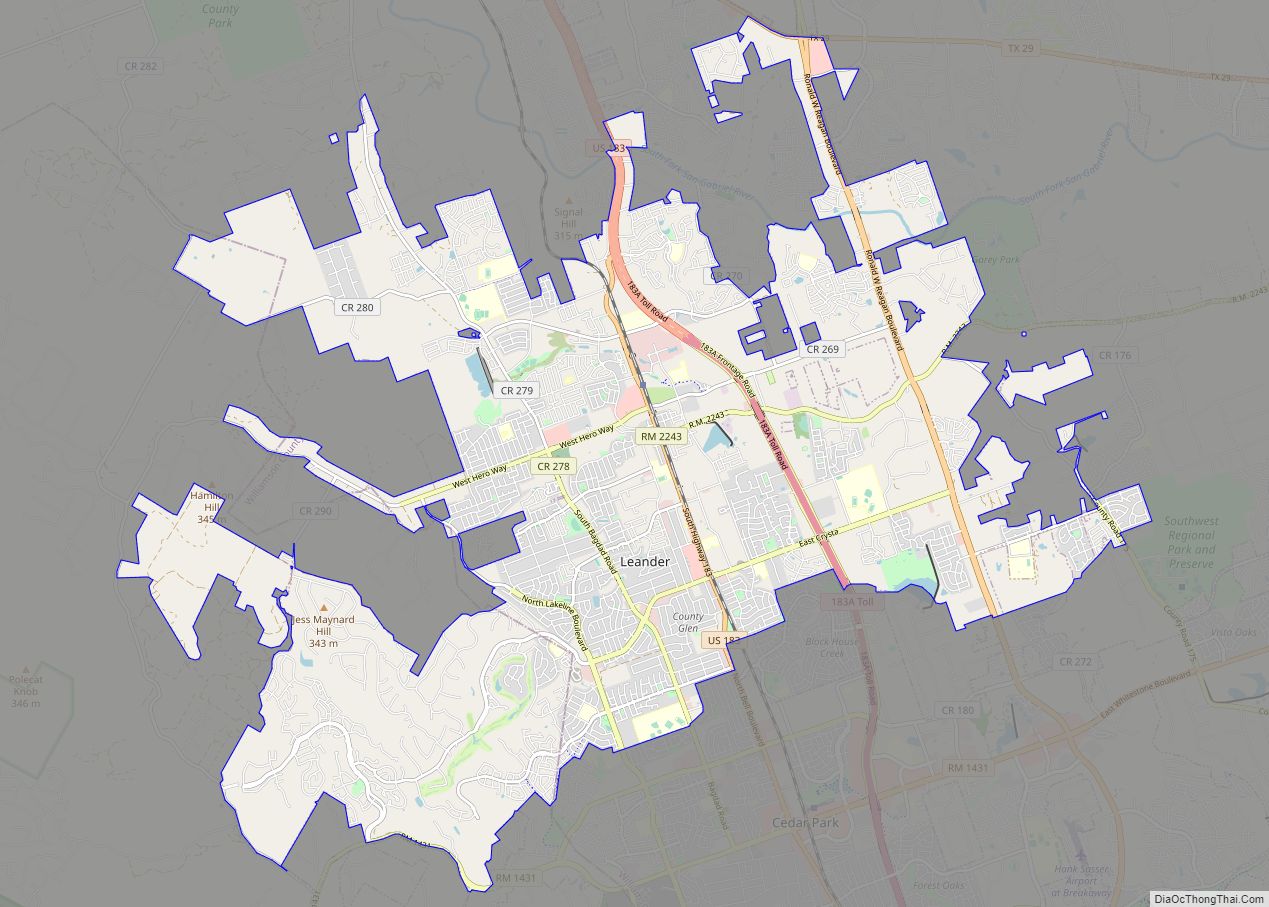
Leander (/liˈændər/ lee-AN-dər) is a city in Williamson County and Travis County, Texas, United States. The population was 59,202 at the 2020 census and 67,124 at the 2021 census estimate. A suburb just north of Austin, and part of the Greater Austin metropolitan area, it was the fastest-growing city in the United States between 2018 ... Read more
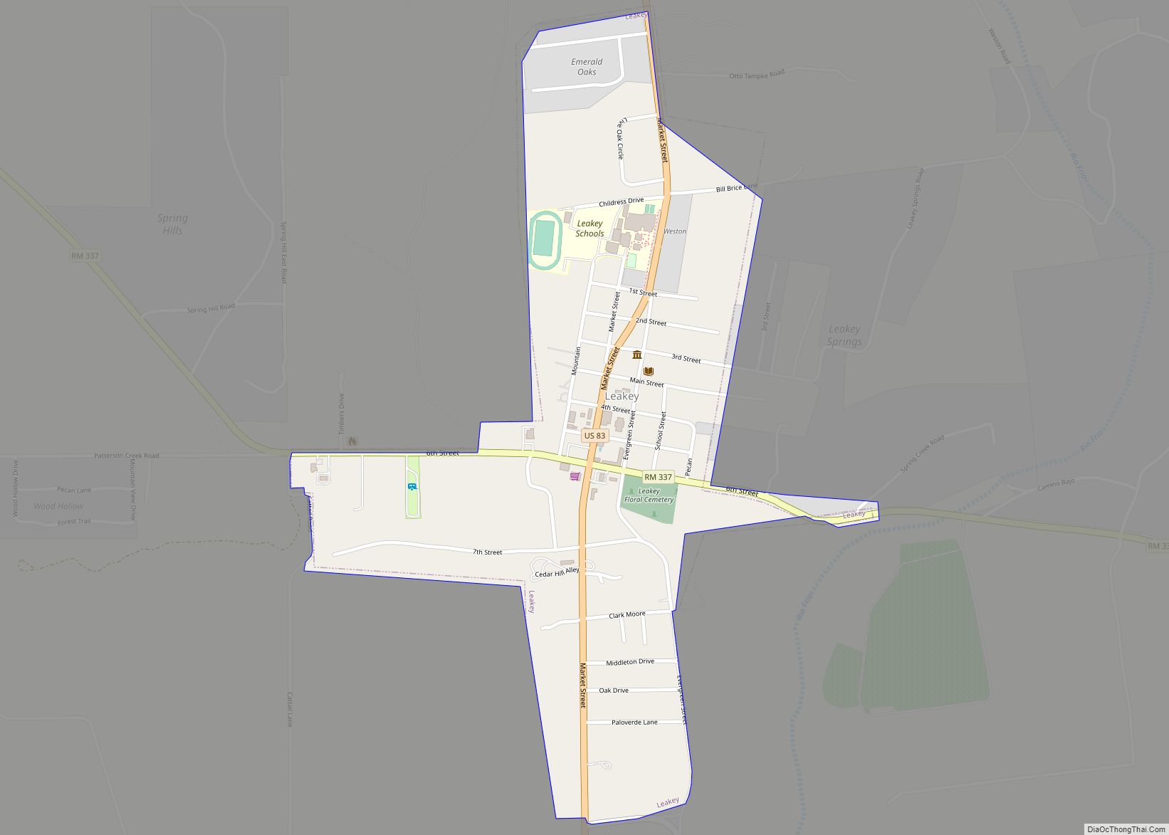
Leakey (/ˈleɪki/ LAY-kee) is a city in and the county seat of Real County, Texas, United States. The population was 425 at the 2010 census. The city is named for John H. Leakey (1824–1900), a pioneer from Tennessee. The Alto Frio Baptist Encampment is located to the southeast of the community. Leakey city overview: Name: ... Read more
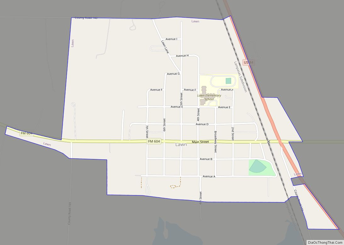
Lawn is a town in Taylor County, Texas, in the United States. As of the 2010 census, the town population was 314. It is part of the Abilene, Texas Metropolitan Statistical Area. Lawn town overview: Name: Lawn town LSAD Code: 43 LSAD Description: town (suffix) State: Texas County: Taylor County Elevation: 1,916 ft (584 m) Total Area: ... Read more
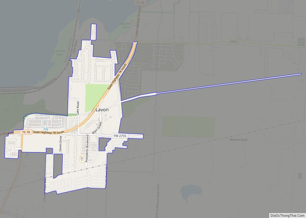
Lavon (/ləˈvɑːn/ lə-VAHN) is a city in Collin County and has been one of the U.S. state of Texas‘s fastest-growing communities, with a 2000 census-tabulated population of 387 and 2020 tabulated population of 4,469. Lavon city overview: Name: Lavon city LSAD Code: 25 LSAD Description: city (suffix) State: Texas County: Collin County Elevation: 525 ft (160 m) ... Read more
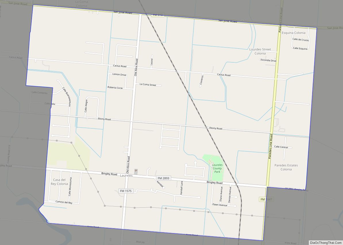
Laureles is a census-designated place (CDP) in Cameron County, Texas, United States. The population was 3,692 at the 2010 census. It is part of the Brownsville–Harlingen Metropolitan Statistical Area. Laureles is an area between Los Fresnos and San Benito, Texas. Laureles CDP overview: Name: Laureles CDP LSAD Code: 57 LSAD Description: CDP (suffix) State: Texas ... Read more
