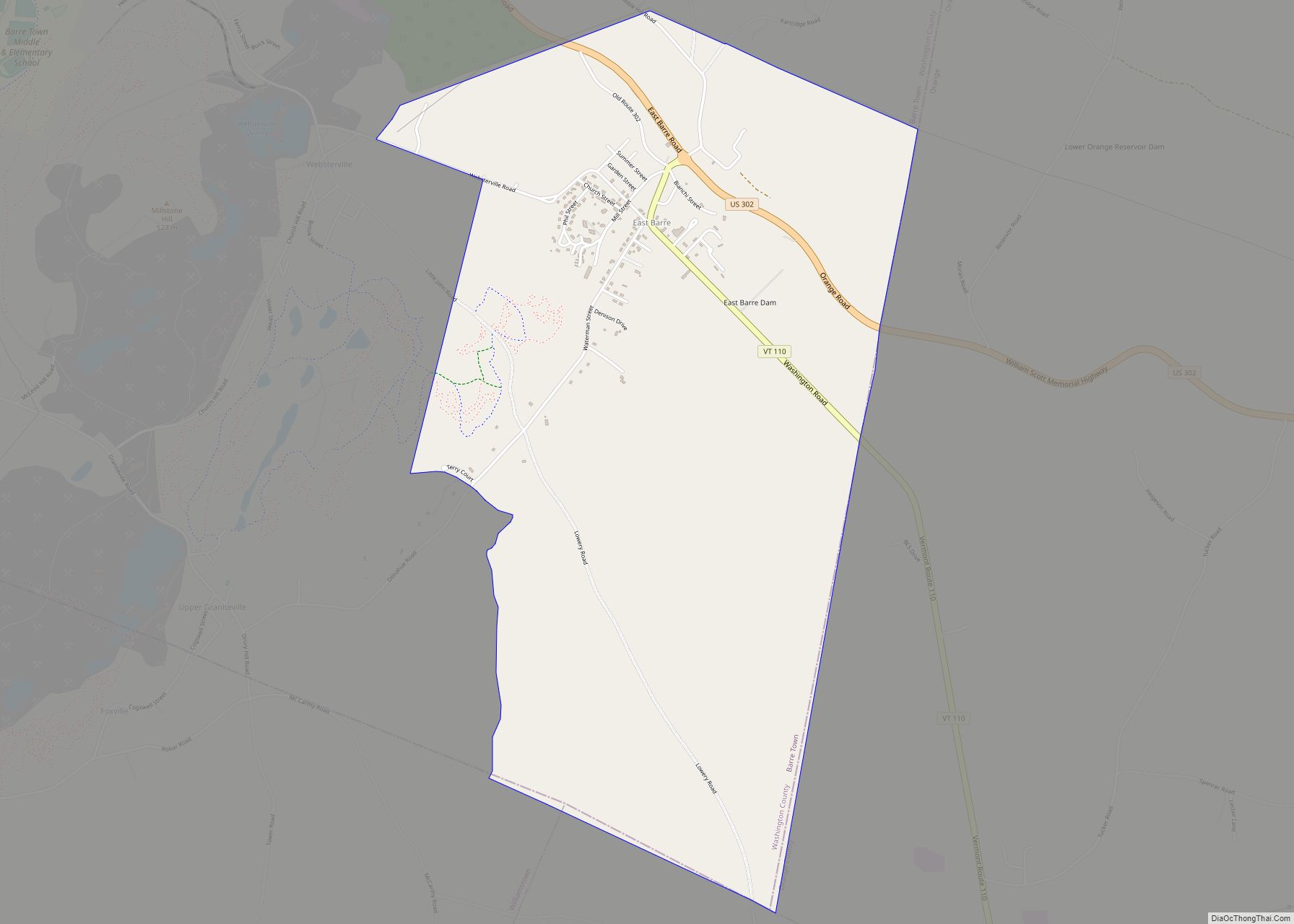
East Barre is a census-designated place (CDP) in the town of Barre, Washington County, Vermont, United States. The population of the CDP was 826 at the 2010 census. Prior to 2010, East Barre was part of the Graniteville-East Barre CDP, which consisted of three unincorporated villages in the town: Graniteville, East Barre, and Websterville. East ... Read more
Vermont Cities and Places
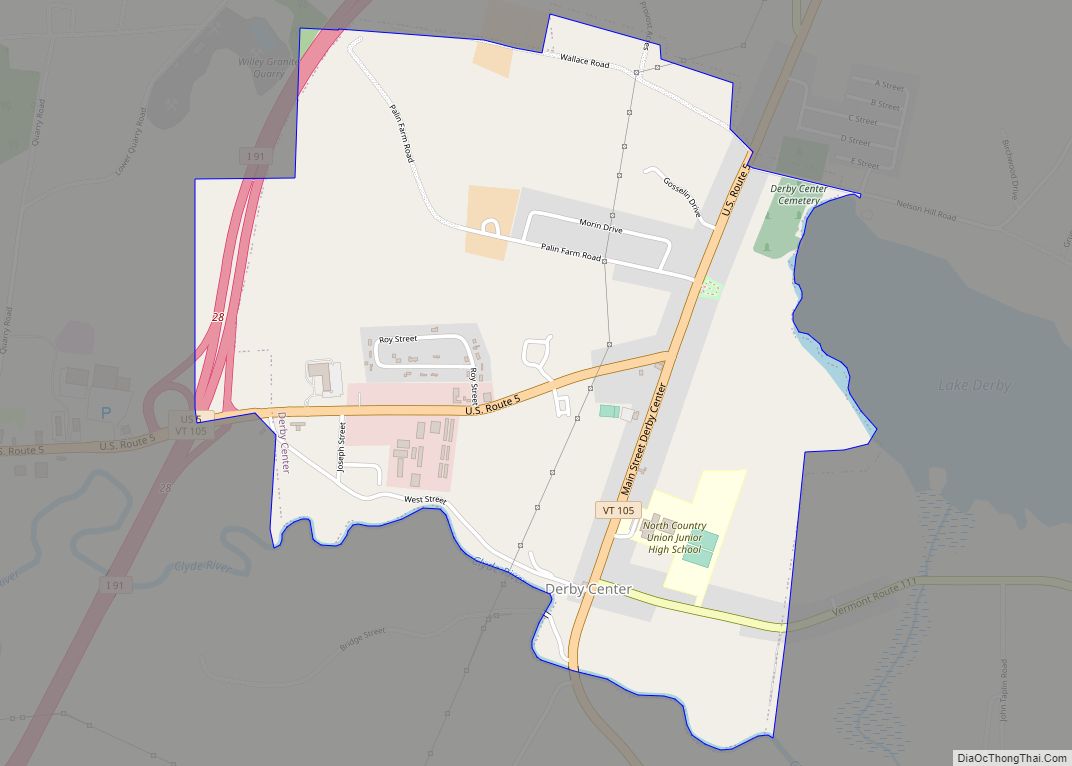
Derby Center village overview: Name: Derby Center village LSAD Code: 47 LSAD Description: village (suffix) State: Vermont County: Orleans County FIPS code: 5017425 Online Interactive Map Derby Center online map. Source: Basemap layers from Google Map, Open Street Map (OSM), Arcgisonline, Wmflabs. Boundary Data from Database of Global Administrative Areas. Derby Center location map. Where ... Read more
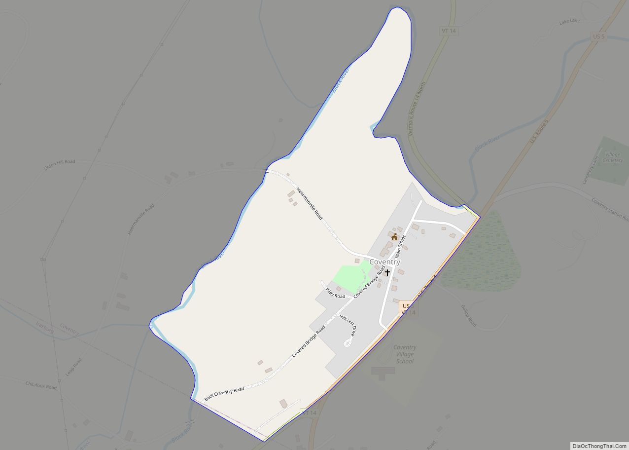
Coventry /ˈkɒvəntri/ is a town in Orleans County, Vermont, United States. The population was 1,100 at the 2020 census. Coventry CDP overview: Name: Coventry CDP LSAD Code: 57 LSAD Description: CDP (suffix) State: Vermont County: Orleans County Elevation: 218 ft (276 m) Total Area: 27.7 sq mi (71.7 km²) Land Area: 27.5 sq mi (71.1 km²) Water Area: 0.2 sq mi (0.6 km²) Total Population: 1,100 ... Read more
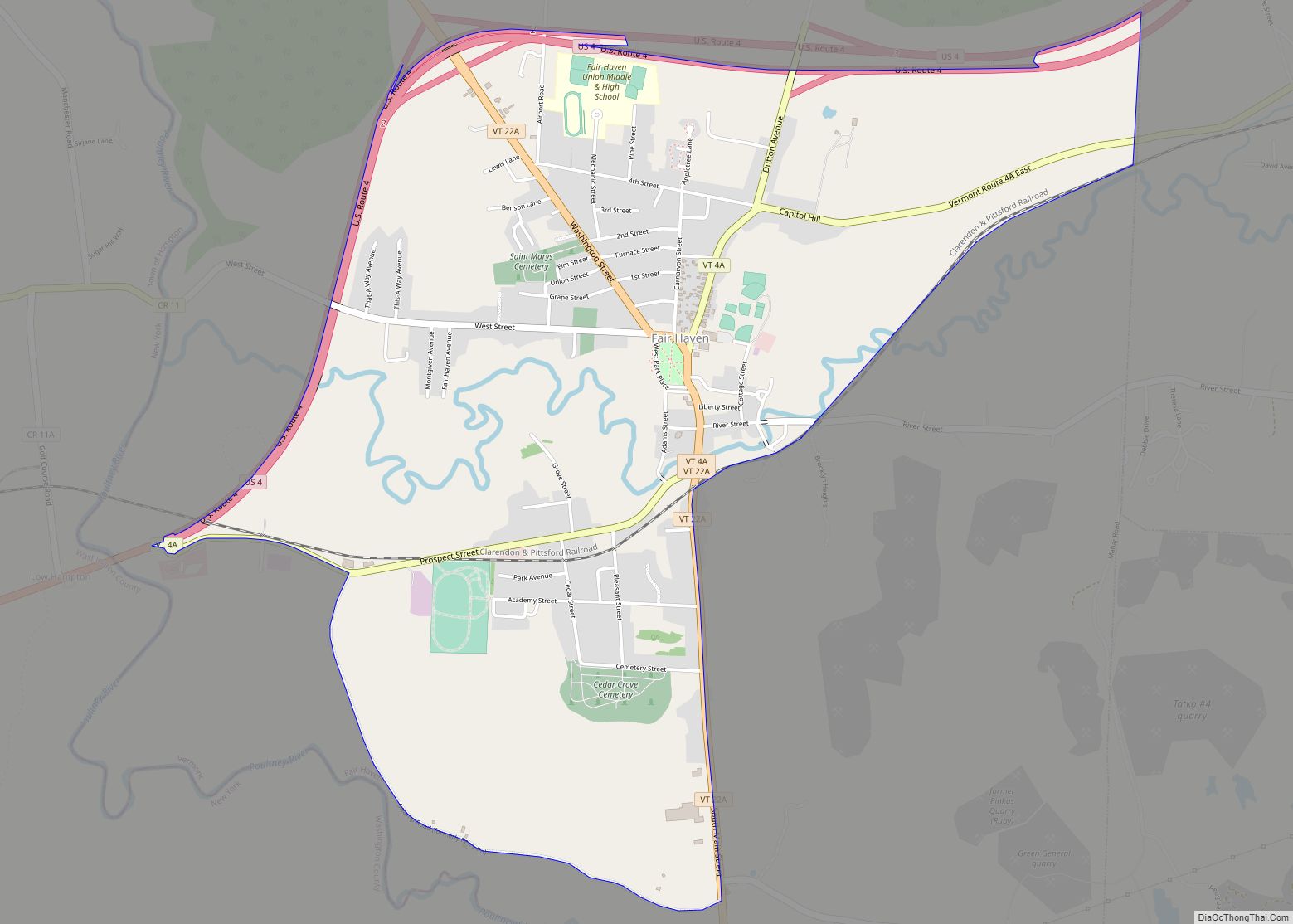
Fair Haven is a census-designated place (CDP) in the town of Fair Haven, Vermont in Rutland County, Vermont, United States. The population was 2,269 at the 2010 census. Fair Haven CDP overview: Name: Fair Haven CDP LSAD Code: 57 LSAD Description: CDP (suffix) State: Vermont County: Rutland County Elevation: 384 ft (117 m) Total Area: 2.8 sq mi (7.2 km²) ... Read more
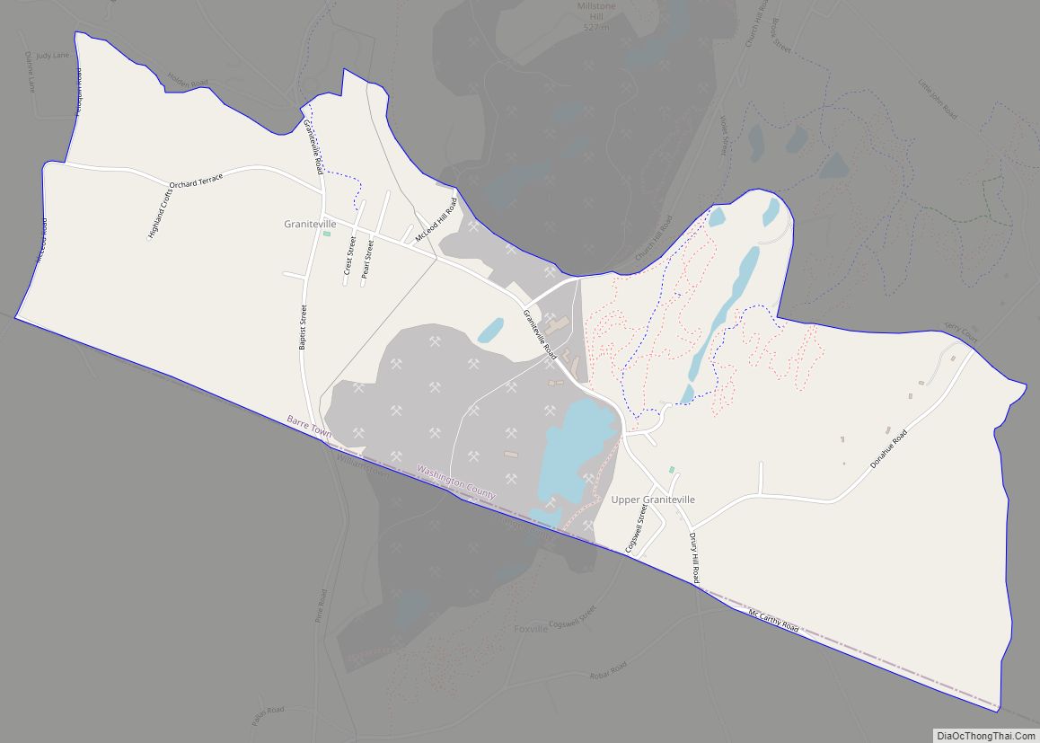
Graniteville is a census-designated place (CDP) in the town of Barre, Washington County, Vermont, United States. The population of the CDP was 784 at the 2010 census. Prior to 2010, it was part of the Graniteville-East Barre CDP, which consisted of three unincorporated villages in the town: Graniteville, East Barre, and Websterville. Graniteville is home ... Read more
Jacksonville village overview: Name: Jacksonville village LSAD Code: 47 LSAD Description: village (suffix) State: Vermont County: Windham County FIPS code: 5036025 Online Interactive Map Jacksonville online map. Source: Basemap layers from Google Map, Open Street Map (OSM), Arcgisonline, Wmflabs. Boundary Data from Database of Global Administrative Areas. Jacksonville location map. Where is Jacksonville village? Jacksonville ... Read more
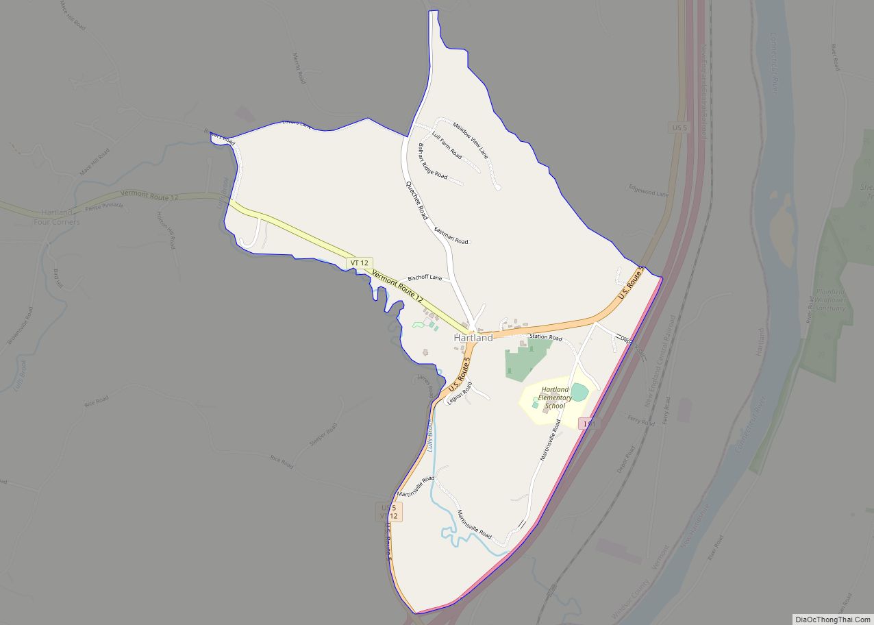
Hartland is a census-designated place (CDP) that comprises the central village of the town of Hartland, Windsor County, Vermont, United States. As of the 2010 census, the population of the CDP was 380, compared to 3,393 for the entire town of Hartland. Hartland CDP overview: Name: Hartland CDP LSAD Code: 57 LSAD Description: CDP (suffix) ... Read more
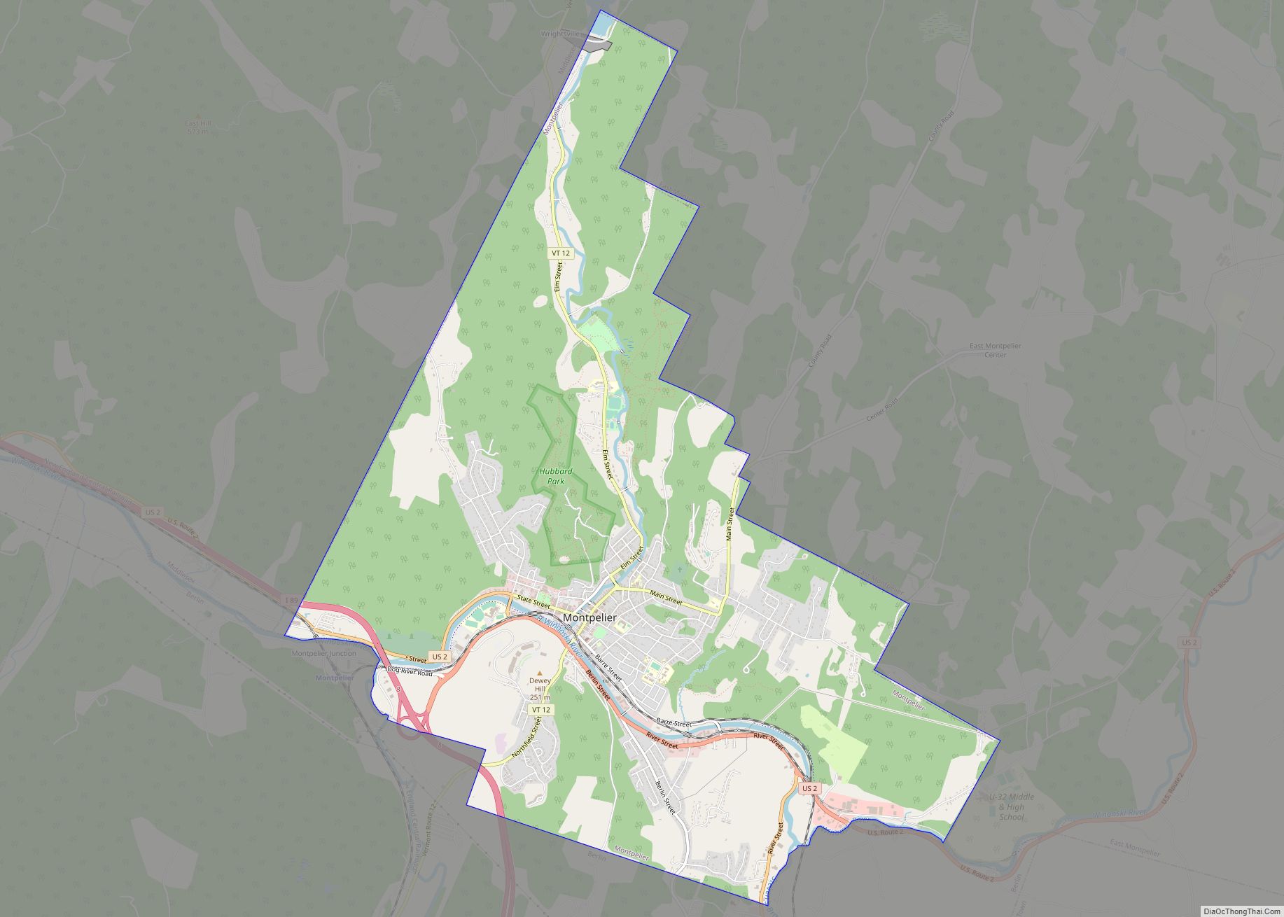
Montpelier city overview: Name: Montpelier city LSAD Code: 25 LSAD Description: city (suffix) State: Vermont County: Washington County FIPS code: 5046000 Online Interactive Map Montpelier online map. Source: Basemap layers from Google Map, Open Street Map (OSM), Arcgisonline, Wmflabs. Boundary Data from Database of Global Administrative Areas. Montpelier location map. Where is Montpelier city? Montpelier ... Read more
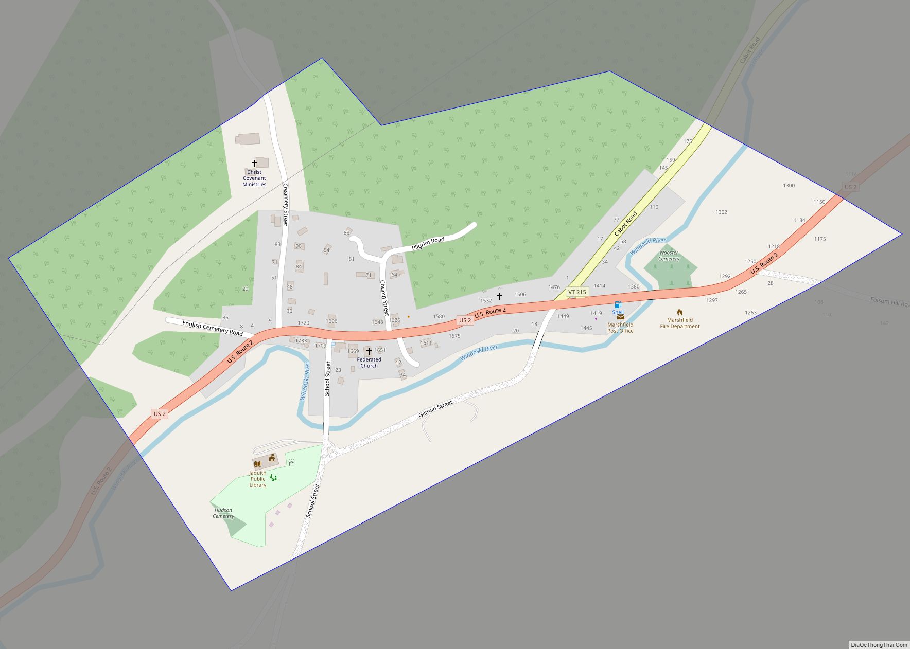
Marshfield is a town in Washington County, Vermont, United States. The population was 1,583 at the 2020 census. Marshfield village overview: Name: Marshfield village LSAD Code: 47 LSAD Description: village (suffix) State: Vermont County: Washington County Total Area: 43.4 sq mi (112.4 km²) Land Area: 43.4 sq mi (112.4 km²) Water Area: 0.1 sq mi (0.3 km²) Total Population: 1,583 Population Density: 37/sq mi (14.1/km²) ... Read more
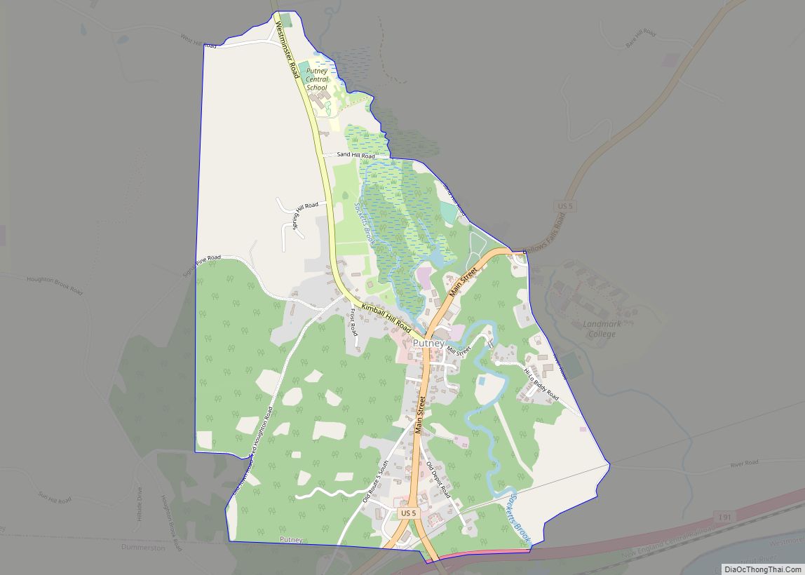
Putney is the primary village and a census-designated place (CDP) in the town of Putney, Windham County, Vermont, United States. As of the 2020 census, it had a population of 571, compared to 2,617 in the entire town. The Putney Village Historic District occupies the center of the CDP. The CDP is in eastern Windham ... Read more
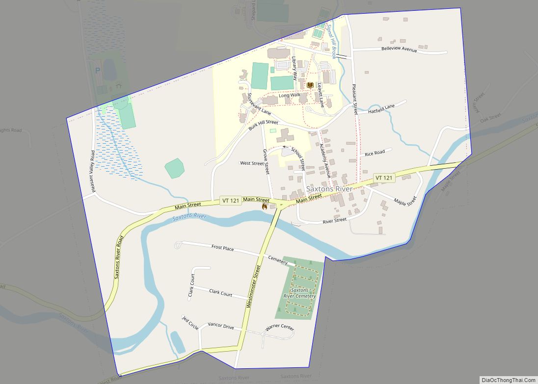
Saxtons River village overview: Name: Saxtons River village LSAD Code: 47 LSAD Description: village (suffix) State: Vermont County: Windham County FIPS code: 5062950 Online Interactive Map Saxtons River online map. Source: Basemap layers from Google Map, Open Street Map (OSM), Arcgisonline, Wmflabs. Boundary Data from Database of Global Administrative Areas. Saxtons River location map. Where ... Read more
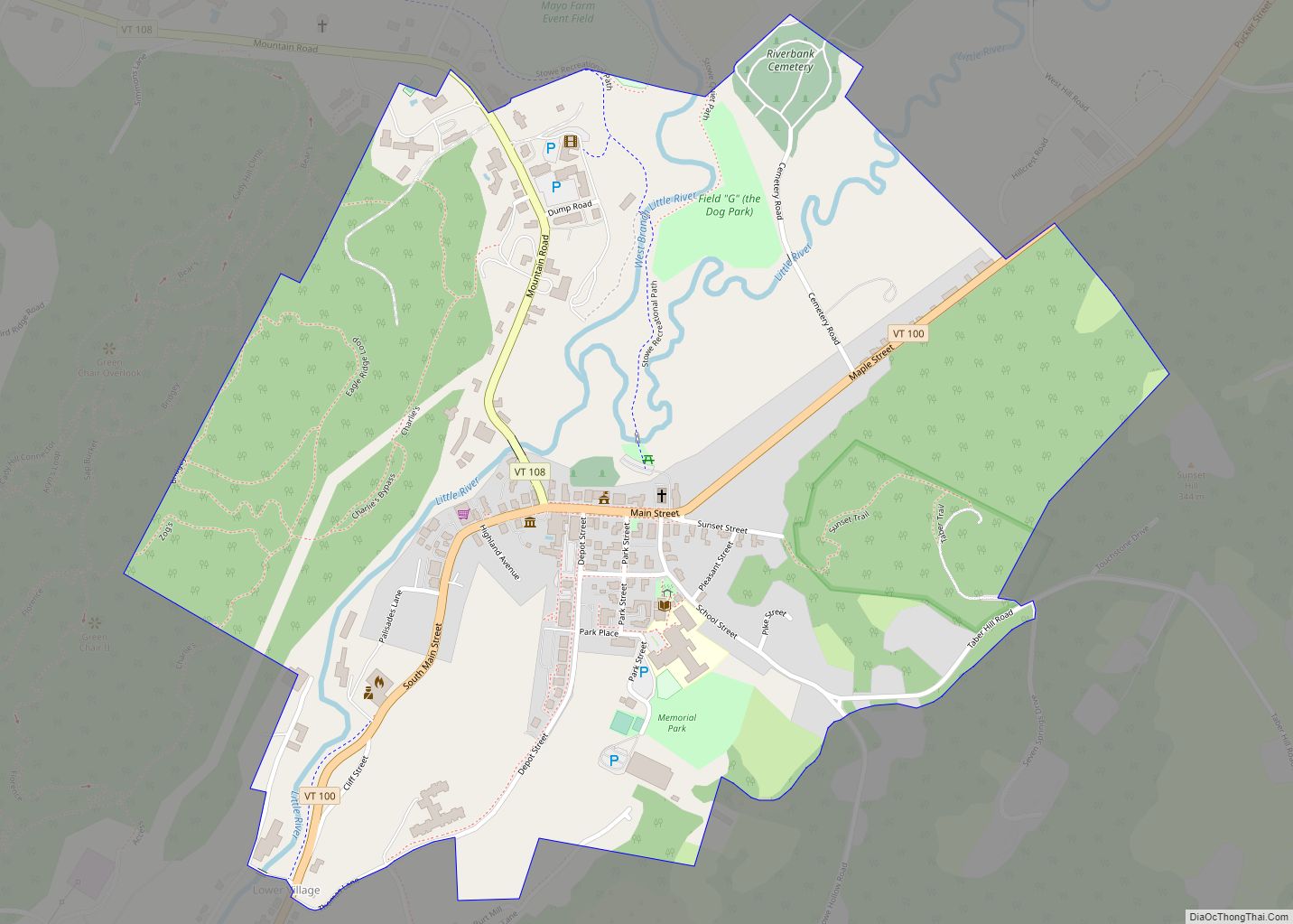
Stowe is a census-designated place (CDP) comprising the central community in the town of Stowe, Lamoille County, Vermont, United States. As of the 2010 census the population of the CDP was 495, out of 4,314 in the entire town. Stowe CDP overview: Name: Stowe CDP LSAD Code: 57 LSAD Description: CDP (suffix) State: Vermont County: ... Read more
