Burlington city overview: Name: Burlington city LSAD Code: 25 LSAD Description: city (suffix) State: Vermont County: Chittenden County FIPS code: 5010675 Online Interactive Map Burlington online map. Source: Basemap layers from Google Map, Open Street Map (OSM), Arcgisonline, Wmflabs. Boundary Data from Database of Global Administrative Areas. Burlington location map. Where is Burlington city? Burlington ... Read more
Vermont Cities and Places
Arlington is a census-designated place (CDP) in the towns of Arlington and Sunderland, Bennington County, Vermont, United States. The population was 1,213 at the 2010 census. In 1989, the Arlington Village Historic District was listed on the National Register of Historic Places. The district covers an area of 180 acres (73 ha) and includes 190 contributing ... Read more
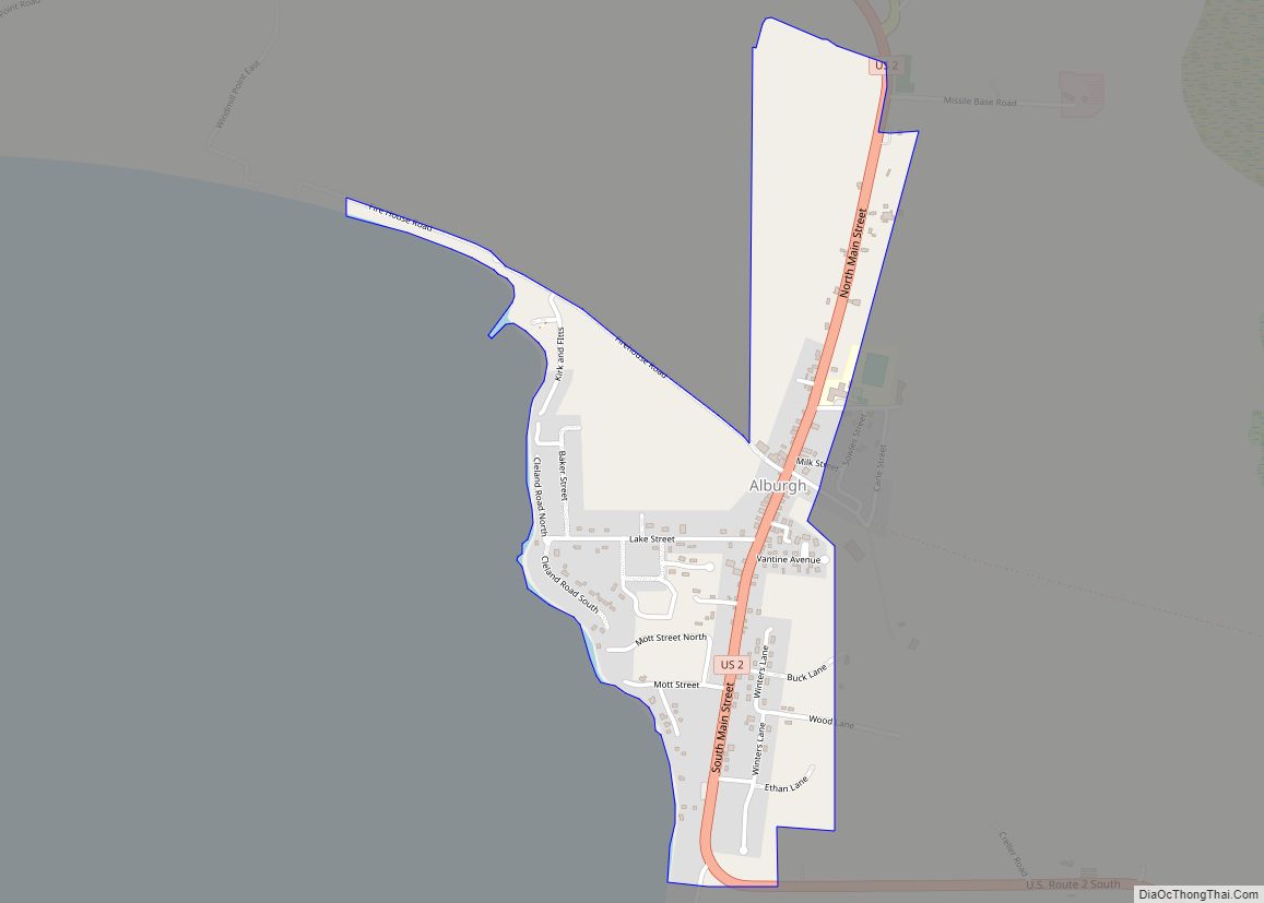
Alburgh (formerly Alburg) is a town in Grand Isle County, Vermont, United States, founded in 1781 by Ira Allen. The population was 2,106 at the 2020 United States Census. Alburgh is on the Alburgh Tongue, a peninsula extending from Canada into Lake Champlain, and lies on the only road-based route across Lake Champlain to New ... Read more
Albany is a town in Orleans County, Vermont, United States. The population was 976 at the 2020 census. Albany contains four villages: the incorporated village of Albany, and the unincorporated villages of Albany Center, East Albany and South Albany. Albany village overview: Name: Albany village LSAD Code: 47 LSAD Description: village (suffix) State: Vermont County: ... Read more
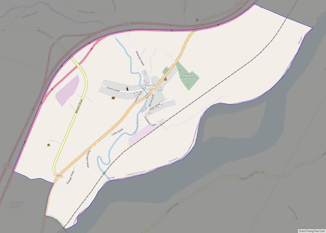
Barnet is the primary village and a census-designated place (CDP) in the town of Barnet, Caledonia County, Vermont, United States. As of the 2020 census, the CDP had a population of 127, out of 1,663 in the entire town of Barnet. The village is in southeastern Caledonia County, along the southeast edge of the town ... Read more
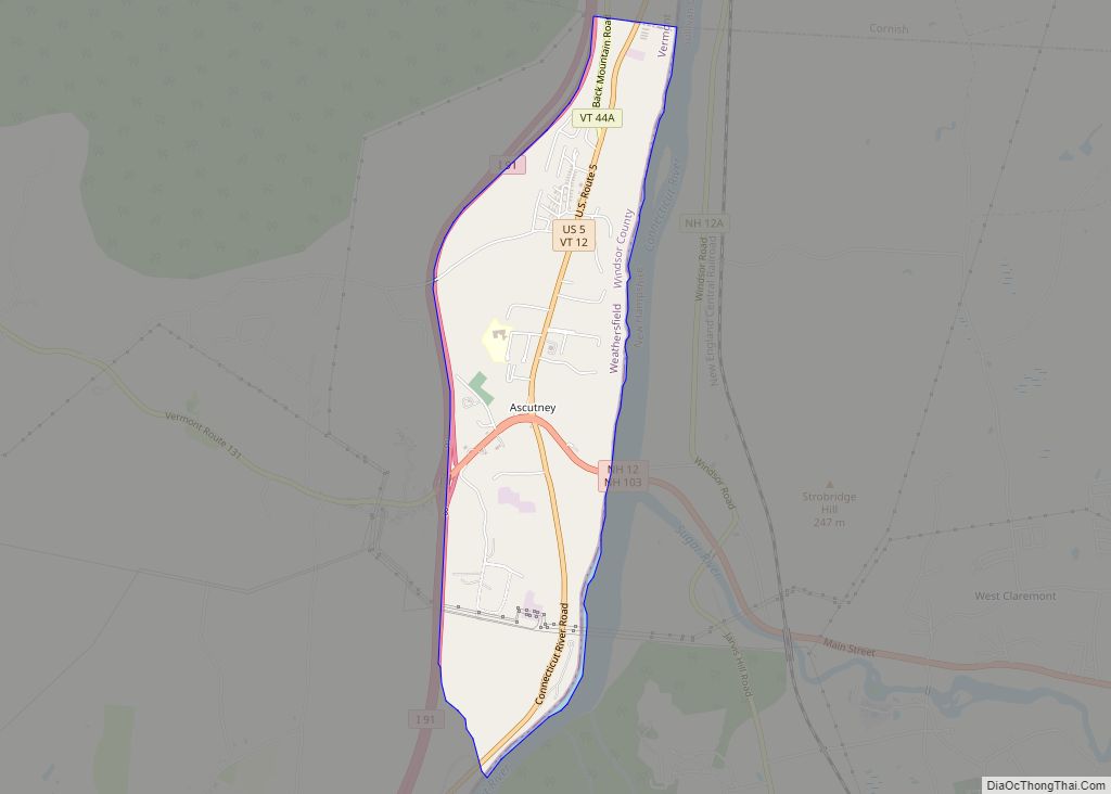
Ascutney is an unincorporated village and census-designated place (CDP) in the town of Weathersfield, Windsor County, Vermont, United States. It is located in the northeastern section of Weathersfield, in the portion of that town adjacent to Mount Ascutney, after which the village is named. As of the 2010 census, the population of the CDP was ... Read more
Bradford is a census-designated places in the town of Bradford, Orange County, Vermont, United States. The population was 907 at the 2020 census. The village disincorporated on December 1, 2004. The village became a census-designated place in 2008. The central commercial and residential portion of the village is listed on the National Register of Historic ... Read more
Bethel is a census-designated place (CDP) that comprises the central village of the town of Bethel, Windsor County, Vermont, United States. As of the 2010 census, the population of the CDP was 569, compared to 2,030 for the entire town of Bethel. Bethel CDP overview: Name: Bethel CDP LSAD Code: 57 LSAD Description: CDP (suffix) ... Read more
Benson is the primary village and a census-designated place (CDP) in the town of Benson, Rutland County, Vermont, United States. As of the 2020 census, it had a population of 269, out of 974 in the entire town. The CDP is in northwestern Rutland County, at the geographic center of the town. Vermont Route 22A ... Read more
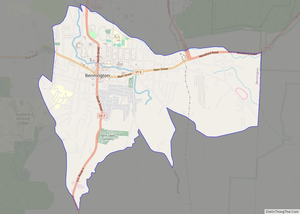
Bennington is a census-designated place (CDP) in Bennington County, Vermont, United States. It is located entirely within the town of Bennington. The population of the CDP was 9,074 at the 2010 census, or 57.6% of the population of the entire town. Bennington CDP overview: Name: Bennington CDP LSAD Code: 57 LSAD Description: CDP (suffix) State: ... Read more
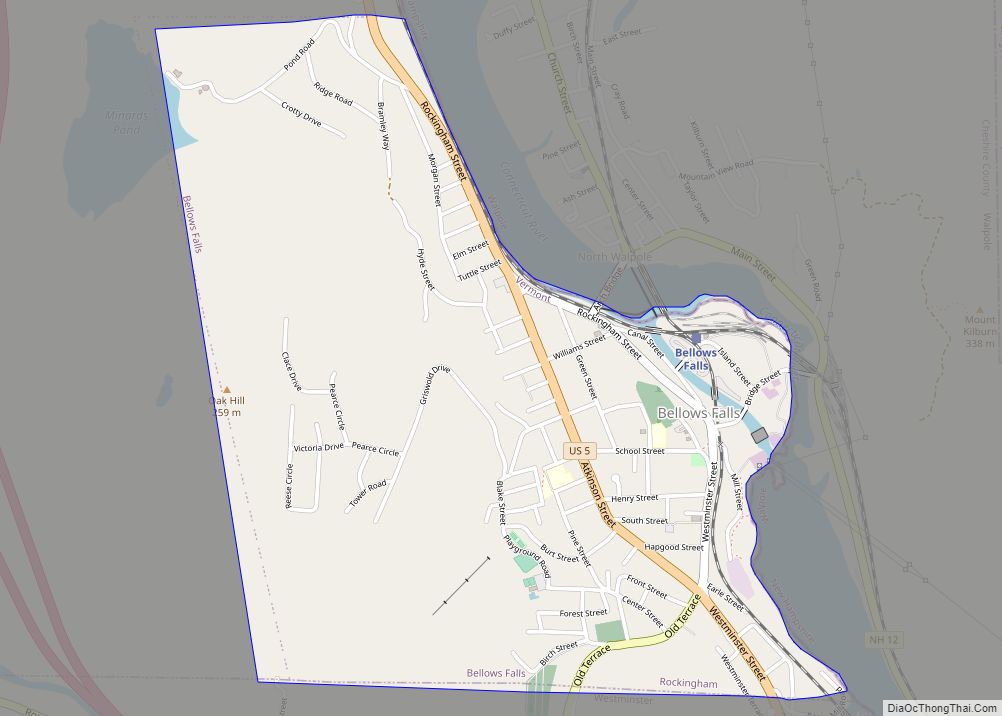
Bellows Falls village overview: Name: Bellows Falls village LSAD Code: 47 LSAD Description: village (suffix) State: Vermont County: Windham County FIPS code: 5004225 Online Interactive Map Bellows Falls online map. Source: Basemap layers from Google Map, Open Street Map (OSM), Arcgisonline, Wmflabs. Boundary Data from Database of Global Administrative Areas. Bellows Falls location map. Where ... Read more
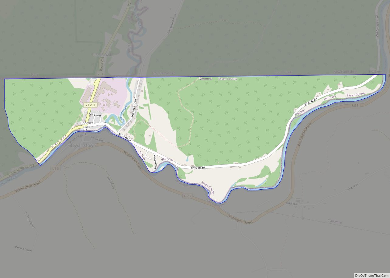
Beecher Falls is a census-designated place in the town of Canaan, Essex County, Vermont, United States. Beecher Falls is located on the Connecticut River across from Stewartstown, New Hampshire, in the northeast corner of Vermont. Its population was 177 as of the 2010 census. Beecher Falls CDP overview: Name: Beecher Falls CDP LSAD Code: 57 ... Read more


