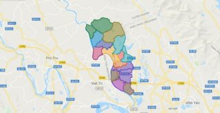
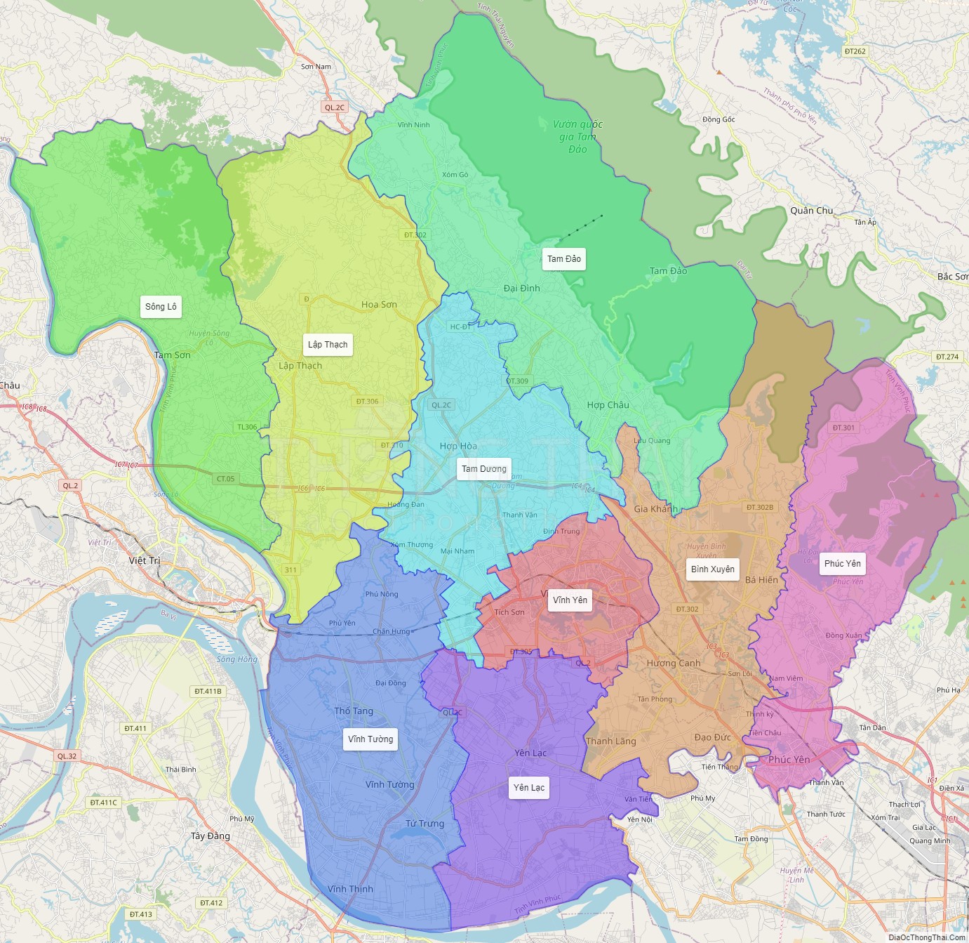
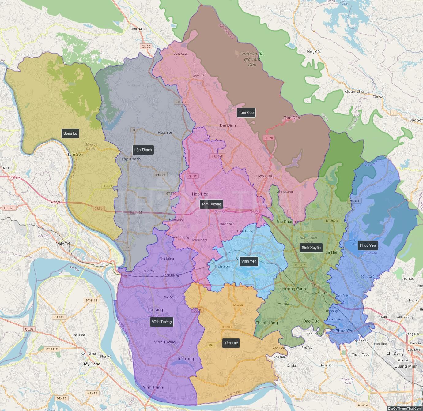
Vinh Phuc is a province in the Red River Delta of northern Vietnam.
Vinh Phuc is subdivided into 8 district-level sub-divisions: * 7 districts:
* Binh Xuyen
* Lap Thach
* Tam Dao
* Tam Duong
* Vinh Tuong
* Yen Lac
* 2 provincial city:
* Vinh Yen (capital)
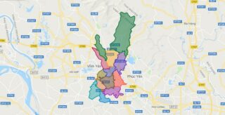
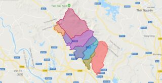
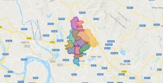
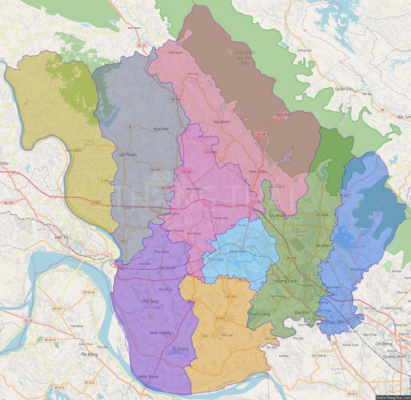
Political Map of Vinh Phuc province
Click on ![]() to view map in "full screen" mode.
to view map in "full screen" mode.
Base Map Layer: Open Street Map (OSM), Arcgisonline, Google Map, Wmflabs.
Large scale maps of Vinh Phuc province
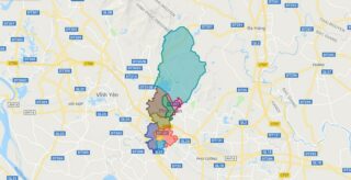
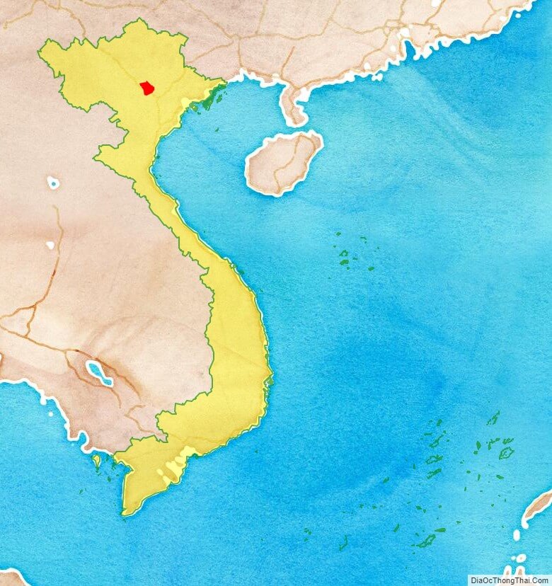
Vinh Phuc province location map
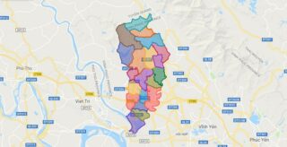
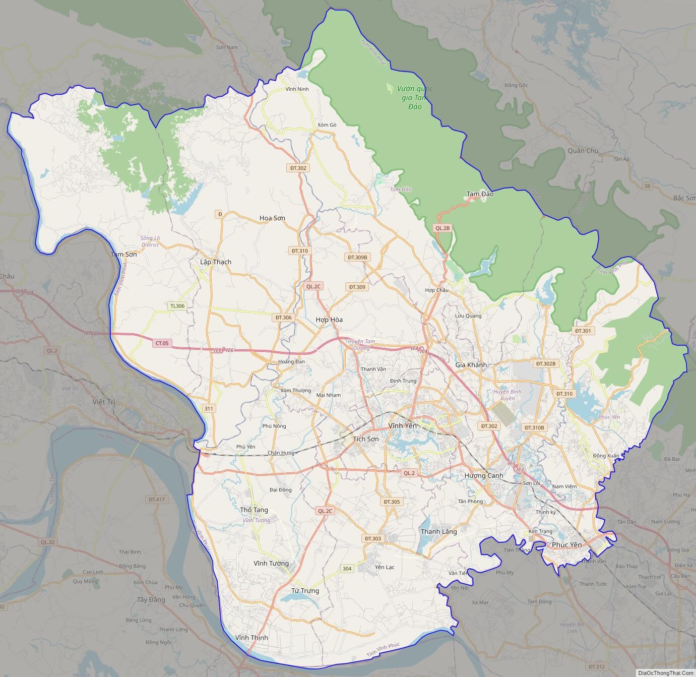
Vinh Phuc street map
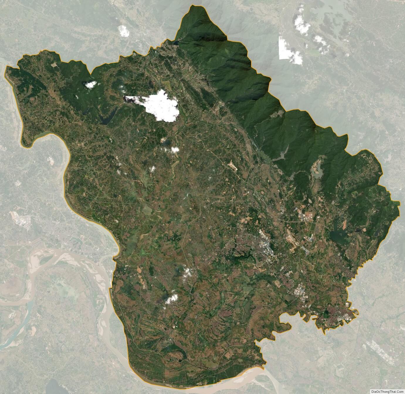
Vinh Phuc satellite map