Map of Zamboanga del Norte Province

Map of Zamboanga del Norte Province

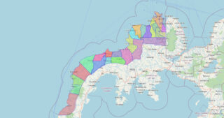
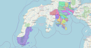
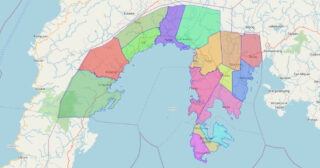
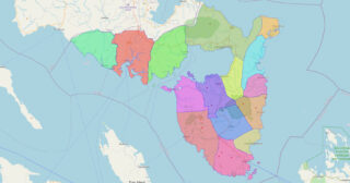
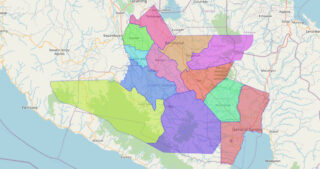
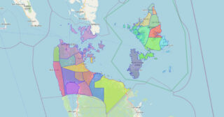
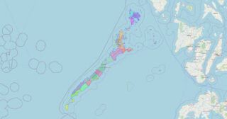
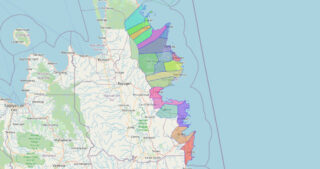
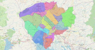
Zamboanga del Norte (Cebuano: Amihanang Zamboanga; Subanon: Utara Sembwangan; Filipino: Hilagang Zamboanga), officially the Province of Zamboanga del Norte, is a province in the Philippines situated within the Zamboanga Peninsula region in Mindanao. Its capital and largest city is Dipolog and the province borders Zamboanga del Sur and Zamboanga Sibugay to the south, Misamis Occidental … Read more

Map of Zamboanga del Sur Province

Map of Zamboanga del Sur Province

Zamboanga del Sur (Cebuano: Habagatang Zamboanga; Subanen: S’helatan Sembwangan/Sembwangan dapit Shelatan; Maguindanaon: Salatan Sambuangan, Jawi: سلاتن سامبواڠن; Filipino: Katimugang Zamboanga), officially the Province of Zamboanga del Sur, is a province in the Philippines located in the Zamboanga Peninsula region in Mindanao. Its capital is the city of Pagadian. Statistically grouped with Zamboanga del Sur is … Read more

Map of Zamboanga Sibugay Province

Map of Zamboanga Sibugay Province

Zamboanga Sibugay, officially the Province of Zamboanga Sibugay (Cebuano: Lalawigan sa Zamboanga Sibugay; Filipino: Lalawigan ng Zamboanga Sibugay), is a province in the Philippines located in the Zamboanga Peninsula region in Mindanao. Its capital and largest town is Ipil and it borders Zamboanga del Norte to the north, Zamboanga del Sur to the east and … Read more

Map of Sulu Province

Map of Sulu Province

Sulu ([sʊˈlu]), officially the Province of Sulu (Tausūg: Wilāya sin Lupa’ Sūg; Tagalog: Lalawigan ng Sulu), is a province of the Philippines in the Sulu Archipelago and part of the Bangsamoro Autonomous Region in Muslim Mindanao (BARMM). Its capital is Jolo on the island of the same name. Maimbung, the royal capital of the Sultanate … Read more

Map of Surigao del Norte Province

Map of Surigao del Norte Province

Surigao del Norte (Surigaonon: Probinsya nan Surigao del Norte; Cebuano: Amihanang Surigao; Tagalog: Hilagang Surigao), officially the Province of Surigao del Norte, is a province in the Philippines located in the Caraga region of Mindanao. The province was formerly under the jurisdiction of Region 10 (Northern Mindanao) until 1995. Its capital is Surigao City, the … Read more

Map of Palawan Province

Map of Palawan Province

Palawan (/pəˈlɑːwən/, Tagalog: [pɐˈlaː.wan]), officially the Province of Palawan (Cuyonon: Probinsya i’ang Palawan; Tagalog: Lalawigan ng Palawan), is an archipelagic province of the Philippines that is located in the region of Mimaropa. It is the largest province in the country in terms of total area of 14,649.73 km (5,656.29 sq mi). The capital and largest city is Puerto … Read more

Map of Surigao del Sur Province

Map of Surigao del Sur Province

Surigao del Sur (Surigaonon: Probinsya nan Surigao del Sur; Cebuano: Habagatang Surigao; Tagalog: Timog Surigao), officially the Province of Surigao del Sur, is a province in the Philippines located in the Caraga region in Mindanao. Its capital is Tandag City while Bislig is the most populous city in the province. Surigao del Sur is situated … Read more

Map of Pampanga Province

Map of Pampanga Province

Pampanga, officially the Province of Pampanga (Kapampangan: Lalawigan ning Pampanga; Tagalog: Lalawigan ng Pampanga IPA: [pɐmˈpaŋɡa] pəm-PAHNG-ga), is a province in Central Luzon in the Philippines. Lying on the northern shore of Manila Bay, Pampanga is bordered by Tarlac to the north, Nueva Ecija to the northeast, Bulacan to the east, Manila Bay to the … Read more

Map of Tarlac Province

Map of Tarlac Province

Tarlac, officially the Province of Tarlac (Kapampangan: Lalawigan ning Tarlac; Pangasinan: Luyag/Probinsia na Tarlac; Ilocano: Probinsia ti Tarlac; Tagalog: Lalawigan ng Tarlac; [tɐɾˈlak]), is a landlocked province in the Philippines located in the Central Luzon region. Its capital is the city of Tarlac, which is the most populous in the province. It is bounded on … Read more

Map of Pangasinan Province

Map of Pangasinan Province

Pangasinan, officially the Province of Pangasinan (Pangasinan: Luyag/Probinsia na Pangasinan, [paŋɡasiˈnan]; Ilocano: Probinsia ti Pangasinan; Tagalog: Lalawigan ng Pangasinan), is a coastal province in the Philippines located in the Ilocos Region of Luzon. Its capital is Lingayen while San Carlos City is the most populous. Pangasinan is in the western area of Luzon along Lingayen … Read more

Map of Tawi-Tawi Province

Map of Tawi-Tawi Province

Tawi-Tawi, officially the Province of Tawi-Tawi (Tausug: Wilaya’ sin Tawi-Tawi; Sinama: Jawi Jawi/Jauih Jauih; Tagalog: Lalawigan ng Tawi-Tawi), is an island province in the Philippines located in the Bangsamoro Autonomous Region in Muslim Mindanao (BARMM). The capital of Tawi-Tawi is Bongao. It is the southernmost province of the country, sharing sea borders with the Malaysian … Read more

Map of Quezon Province

Map of Quezon Province

Quezon is southeast of Metro Manila and is bordered by the provinces of Aurora to the north, Bulacan, Rizal, Laguna and Batangas to the west and the provinces of Camarines Norte and Camarines Sur to the east. Part of Quezon lies on an isthmus connecting the Bicol Peninsula to the main part of Luzon. The … Read more