Map of Maguindanao del Norte
Maguindanao del Norte, officially the Province of Maguindanao del Norte (Maguindanaon: Dairat nu Utara Magindanaw, Jawi: دَاِيْرَتْ نُوْ اُوْتَرَ مَڬِنْدَنَوْ; Iranun: Perobinsia a Pangutaran Magindanao, ڤروبنسيا ا ڤڠوترن مڬیندانو), is a province in the Philippines located in the Bangsamoro region in Mindanao. Its capital is the municipality of Datu Odin Sinsuat. It borders Cotabato province ... Read more
Map of Maguindanao del Norte
Map of Marinduque Province
Marinduque (/ˌmærənˈduːkeɪ/; Tagalog pronunciation: [maɾinˈduke]), officially the Province of Marinduque, is an island province in the Philippines located in Southwestern Tagalog Region or Mimaropa, formerly designated as Region IV-B. Its capital is the municipality of Boac, the most populous in the province. Marinduque lies between Tayabas Bay to the north and Sibuyan Sea to the ... Read more
Map of Marinduque Province
Map of Masbate Province
Masbate, officially the Province of Masbate (Masbateño: Probinsya san Masbate; Tagalog: Lalawigan ng Masbate), is an island province in the Philippines located near the midsection of the nation’s archipelago. Its provincial capital is Masbate City, the most populous in the province. The province consists of three major islands: Masbate, Ticao and Burias. Masbate is at ... Read more
Map of Masbate Province
Map of Metropolitan Manila
Metropolitan Manila (Filipino: Kalakhang Maynila), commonly shortened to Metro Manila and formally the National Capital Region (NCR; Filipino: Pambansang Punong Rehiyon), is the capital region and largest metropolitan area of the Philippines. Located on the eastern shore of Manila Bay, the region lies between the Central Luzon and Calabarzon regions. Encompassing an area of 636.00 km ... Read more
Map of Metropolitan Manila
Map of Misamis Occidental Province
Misamis Occidental (Cebuano: Kasadpang Misamis; Subanen: Sindepan Mis’samis; Maranao: Sedepan Misamis; Filipino: Kanlurang Misamis), officially the Province of Misamis Occidental, is a province located in the region of Northern Mindanao in the Philippines. Its capital is the city of Oroquieta while Ozamiz is the most-populous city. The province borders Zamboanga del Norte and Zamboanga del ... Read more
Map of Misamis Occidental Province
Map of Misamis Oriental Province
Misamis Oriental (Cebuano: Sidlakang Misamis; Maranao: Sebangan Misamis; Tagalog: Silangang Misamis), officially the Province of Misamis Oriental, is a province located in the region of Northern Mindanao in the Philippines. Its capital, largest city and provincial center is the city of Cagayan de Oro (the regional center of Northern Mindanao), which is governed independently from ... Read more
Map of Misamis Oriental Province
Map of Mountain Province Province
Mountain Province (Ilocano: Probinsa ti Bantay; Filipino: Lalawigang Bulubundukin) is a landlocked province of the Philippines in the Cordillera Administrative Region in Luzon. Its capital is Bontoc while Bauko is the largest municipality. Mountain Province was formerly referred to as Mountain in some foreign references. The name is usually shortened by locals to Mt. Province. ... Read more
Map of Mountain Province Province
Map of Negros Occidental Province
Negros Occidental (Hiligaynon: Nakatungdang Negros; Tagalog: Kanlurang Negros), officially the Province of Negros Occidental (Hiligaynon: Kapuoran sang Nakatungdang Negros; Tagalog: Lalawigan ng Kanlurang Negros), is a province in the Philippines located in the Negros Island Region. Its capital is the city of Bacolod, of which it is geographically situated and grouped under by the Philippine ... Read more
Map of Negros Occidental Province
Map of Negros Oriental Province
Negros Oriental (Cebuano: Sidlakang Negros; Tagalog: Silangang Negros), officially the Province of Negros Oriental (Cebuano: Lalawigan sa Sidlakang Negros; Tagalog: Lalawigan ng Silangang Negros), is a province in the Philippines located in the Negros Island Region. Its capital is the city of Dumaguete, one of the two regional centers of Negros Island Region (the other ... Read more
Map of Negros Oriental Province
Map of North Cotabato Province
North Cotabato overview: Type: Province Capital: Kidapawan Area: 9,008.90 km (3,478.36 sq mi) Area Rank: 6th out of 81 Population: 1,275,185 Population Rank: 22nd out of 81 Density: 1.17% ZIP code: 9400–9417 ISO 3166 code: PH-NCO Website: cotabatoprov.gov.ph Online Interactive Map Explore the interactive online map of North Cotabato, which highlights the administrative boundaries with each sub-administrative unit ... Read more
Map of North Cotabato Province
Map of Northern Samar Province
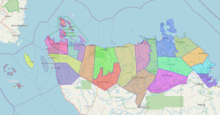
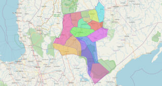
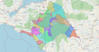
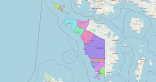
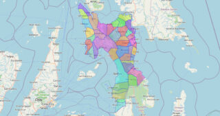
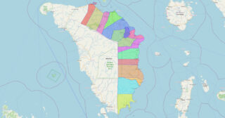
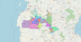
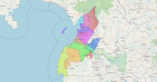
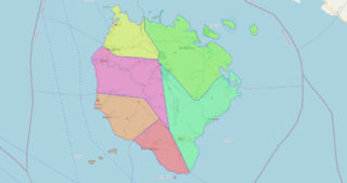
Northern Samar (Waray: Amihanan Samar/Norte san Samar; Tagalog: Hilagang Samar), officially the Province of Northern Samar, is a province in the Philippines located in the Eastern Visayas region. Its capital is Catarman, the most populous town in the province and is located at the northern portion of the island of Samar. Bordering the province to ... Read more
Map of Northern Samar Province
Map of Laguna Province
Laguna [lɐˈɣuː.nɐ], officially the Province of Laguna (Filipino: Lalawigan ng Laguna), is a province in the Philippines located in the Calabarzon region in Luzon. Its capital is Santa Cruz while its largest city is the City of Calamba (the regional center of Calabarzon) and the province is situated southeast of Metro Manila, south of the ... Read more
Map of Laguna Province