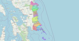
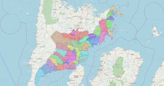
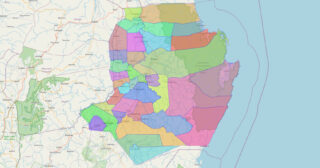
Eastern Samar (Waray-Waray: Sinirangan Samar; Tagalog: Silangang Samar), officially the Province of Eastern Samar, is a province in the Philippines located in the Eastern Visayas region. Its capital is the city of Borongan, which is the most populous. Eastern Samar occupies the eastern portion of the island of Samar. Bordering the province to the north ... Read more
Maps of all Philippine Provinces
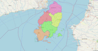
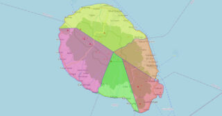
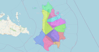
Guimaras ([ɡimaˈɾas]), officially the Province of Guimaras (Hiligaynon: Kapuoran sang Guimaras; Tagalog: Lalawigan ng Guimaras), is an island province in the Philippines located in the Western Visayas region. The capital is Jordan, while the largest local government unit is the municipality of Buenavista. The province is situated in Panay Gulf, between the islands of Panay ... Read more
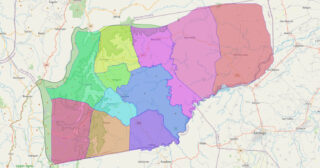
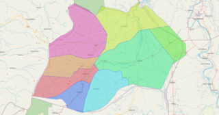
Ifugao, officially the Province of Ifugao (Ilocano: Probinsia ti Ifugao; Tagalog: Lalawigan ng Ifugao), is a landlocked province of the Philippines in the Cordillera Administrative Region in Luzon. Its capital is Lagawe and it borders Benguet to the west, Mountain Province to the north, Isabela to the east, and Nueva Vizcaya to the south. Alfonso ... Read more
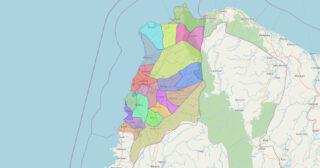
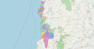
Ilocos Norte, officially the Province of Ilocos Norte (Ilocano: Probinsia ti Ilocos Norte; Tagalog: Lalawigan ng Ilocos Norte), is a province of the Philippines located in the Ilocos Region. It is located in the northwest corner of Luzon Island, bordering Cagayan and Apayao to the east, and Abra to the southeast, and Ilocos Sur to ... Read more
Ilocos Sur, officially the Province of Ilocos Sur (Ilocano: Probinsia ti Ilocos Sur; Tagalog: Lalawigan ng Ilocos Sur), is a province in the Philippines located in the Ilocos Region in Luzon. Located on the mouth of the Mestizo River is the capital of Vigan while Candon is the most-populous city. Ilocos Sur is bordered by ... Read more
Camiguin, officially the Province of Camiguin (Cebuano: Probinsya sa Camiguin; Tagalog: Lalawigan ng Camiguin; Kamigin: Probinsya ta Kamigin), is an island province in the Philippines located in the Bohol Sea, about 10 kilometers (6.2 mi) off the northern coast of mainland Mindanao. It is geographically part of Region X, the Northern Mindanao Region of the country ... Read more
Iloilo (/ˌɪloʊˈiːloʊ/ ih-loh-EE-loh; [ɪlo.ˈilo]), also called Iloilo Province, officially the Province of Iloilo (Hiligaynon: Kapuoran sang Iloilo; Kinaray-a: Kapuoran kang Iloilo; Filipino: Lalawigan ng Iloilo; Spanish: Província de Iloílo), is a province in the Philippines located in the Western Visayas region. Its capital and largest city is Iloilo City, the regional center of Western Visayas ... Read more
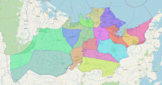
Capiz ([kɑˈpiz]), officially the Province of Capiz (Capiznon/Hiligaynon: Kapuoran sang Capiz; Tagalog: Lalawigan ng Capiz), is a province in the Philippines located in the central section of Western Visayas region. Its capital is the city of Roxas, which is the most populous. It is located at the northeastern portion of Panay Island, bordering Aklan to ... Read more
Isabela, officially the Province of Isabela (Ilocano: Probinsia ti Isabela; Ibanag: Provinsia na Isabela; Tagalog: Lalawigan ng Isabela), is the second largest province in the Philippines in land area located in the Cagayan Valley. Its capital and the largest local government unit is the city of Ilagan. It is bordered by the provinces of Cagayan ... Read more
Catanduanes (/ˌkɑːtɑːnˈdwɑːnɛs/; Tagalog pronunciation: [kɐtɐnˈdwɐnes]), officially the Province of Catanduanes (Filipino: Lalawigan ng Catanduanes), is an island province located in the Bicol Region of Luzon in the Philippines. It is the 12th-largest island in the Philippines, and lies to the east of Camarines Sur, across the Maqueda Channel. Its capital is Virac, the most populous ... Read more
Kalinga (IPA: [ka’liŋɡa]), officially the Province of Kalinga (Ilocano: Probinsia ti Kalinga; Tagalog: Lalawigan ng Kalinga), is a landlocked province in the Philippines situated within the Cordillera Administrative Region in Luzon. Its capital (and largest city) is Tabuk and borders Mountain Province to the south, Abra to the west, Isabela to the east, Cagayan to ... Read more
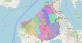
Cavite, officially the Province of Cavite (Tagalog: Lalawigan ng Kabite; Chavacano: Provincia de Cavite), is a province in the Philippines located in the Calabarzon region in Luzon. Located on the southern shores of Manila Bay and southwest of Manila, it is one of the most industrialized and fastest-growing provinces in the Philippines. As of 2020, ... Read more
