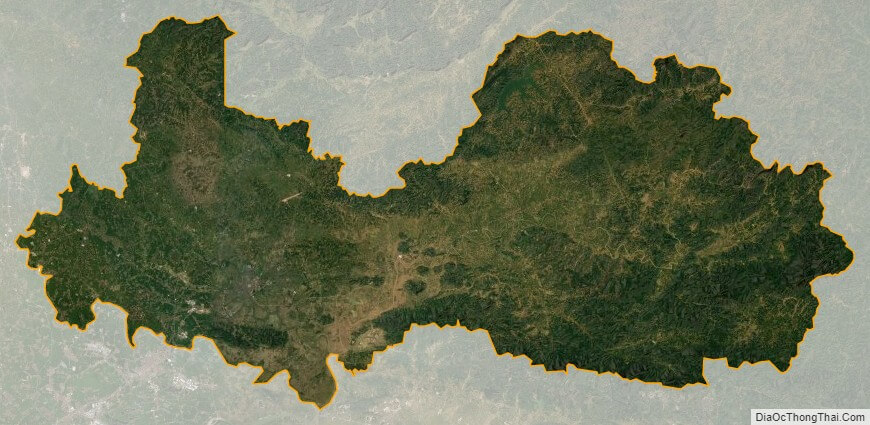
Bac Giang is a province of Vietnam. It is located in the Northeast region of the country, being situated to the east of Hanoi. The province covers an area of 3827.45 square kilometres and, as of 2008, it had a population of 1,628,400.
Bac Giang’s history is traced to the Hung Kings who established the Van Lang nation, which was then followed in succession the rule of the Le and Nguyen dynasties. It was the prefecture of Da Phuc during the time of Emperor Tu Duc, Vietnam’s last independent monarch. The modern province of Bac Giang was founded in 1895.
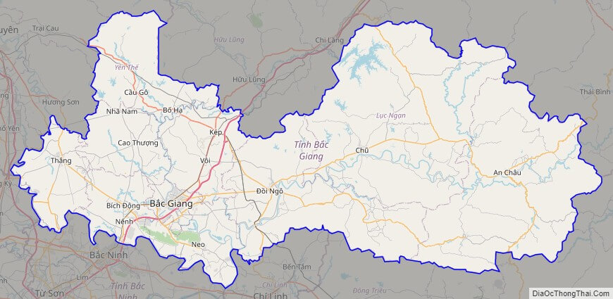
The province lies in the Red River Delta and is bordered by Quang Ninh to the east, Lang Son to the north, Thai Nguyen and the urban district of Soc Son in the capital Hanoi to the west, and Bac Ninh and Hai Duong to the south.
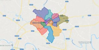
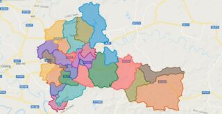
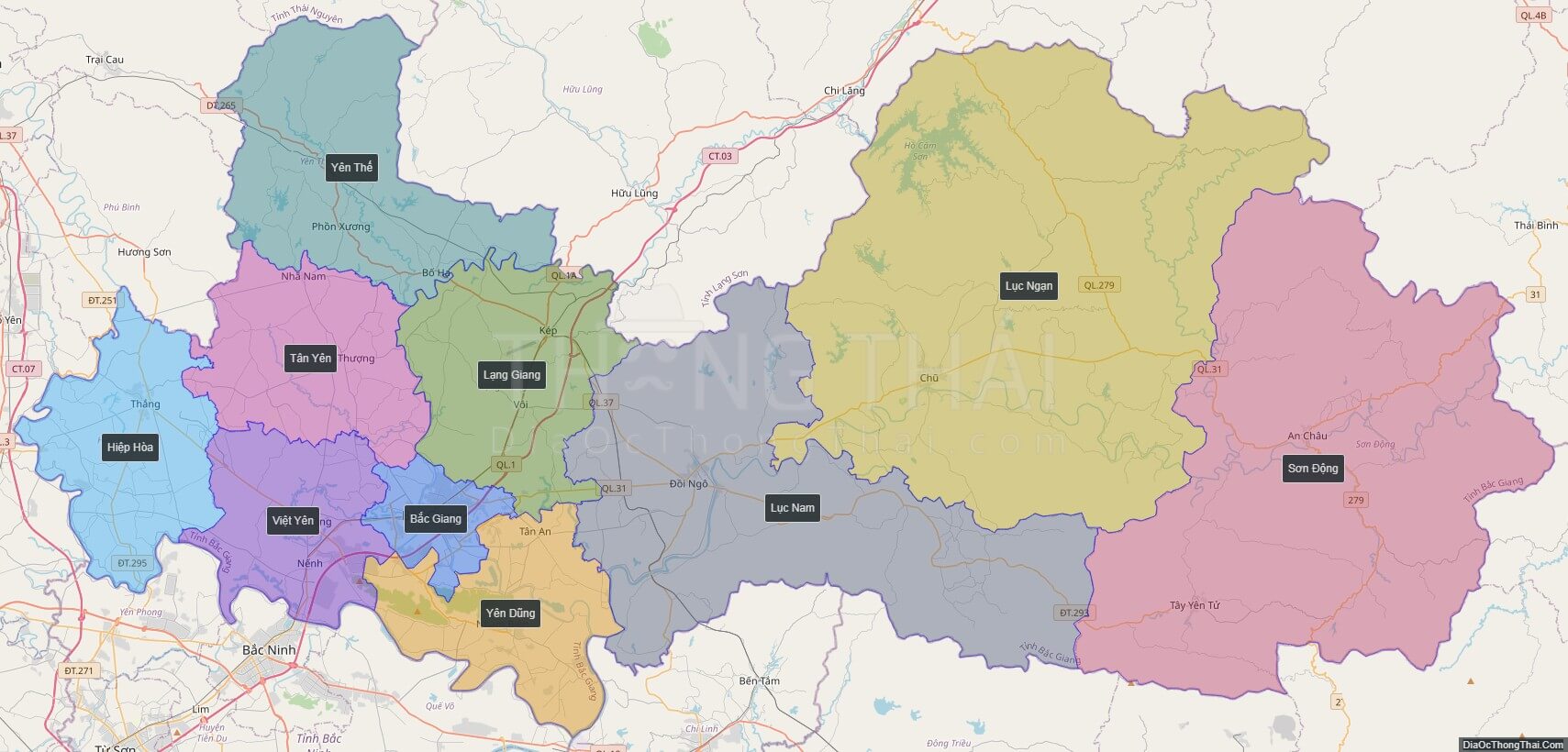
Political Map of Bac Giang province
Click on ![]() to view map in "full screen" mode.
to view map in "full screen" mode.
Base Map Layer: Open Street Map (OSM), Arcgisonline, Google Map, Wmflabs.
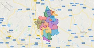
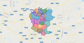
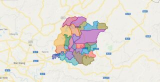
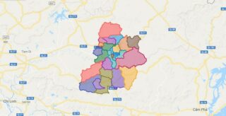
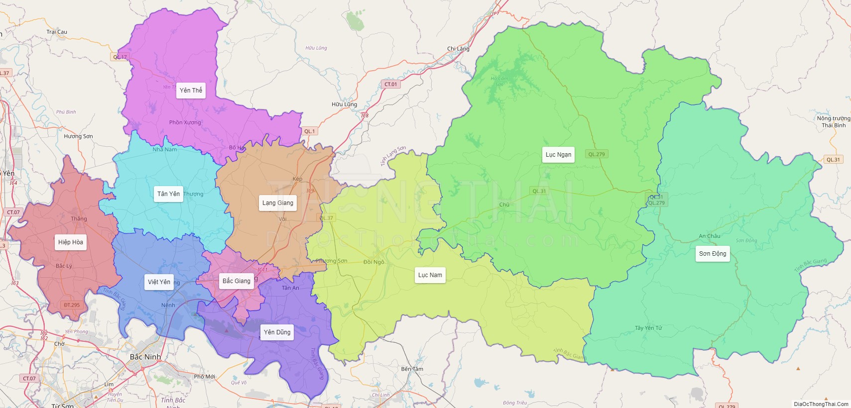
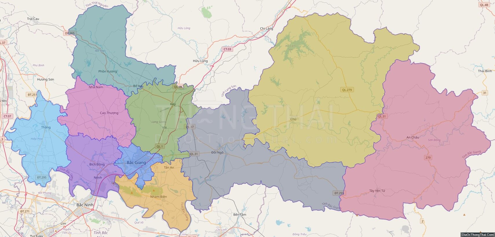
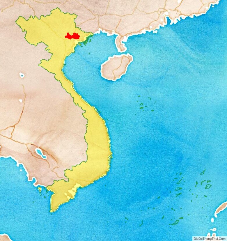
Large scale maps of Bac Giang province
Bac Giang province location map
Bac Giang street map
Bac Giang satellite map