Map of Ben Tre province

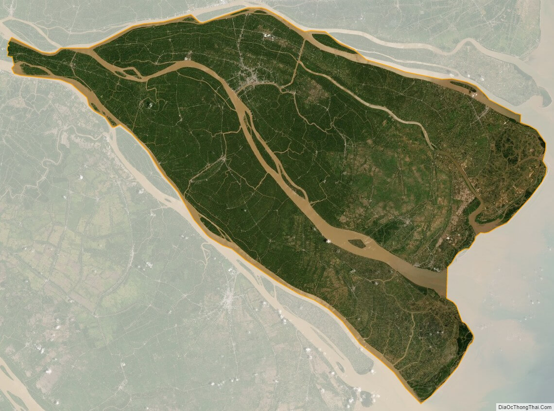
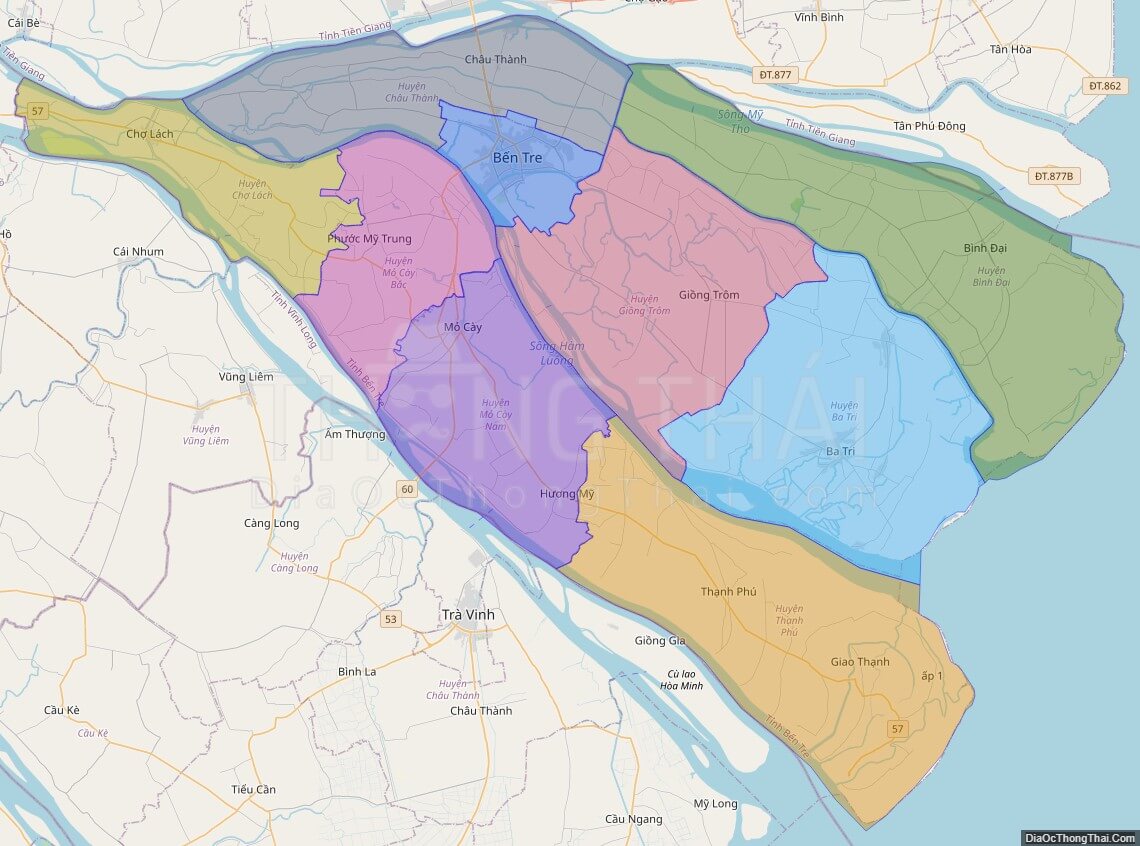
Ben Tre is a province of Vietnam. It is one of the country’s southern provinces, being situated in the Mekong Delta.

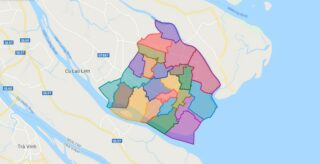
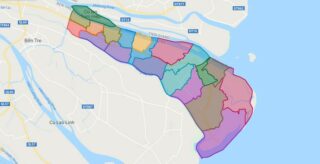
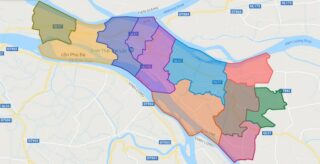
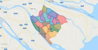
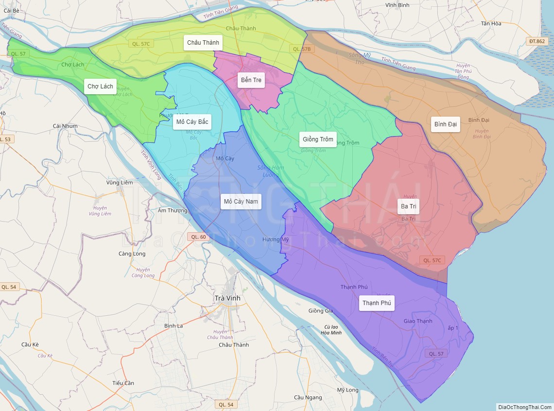
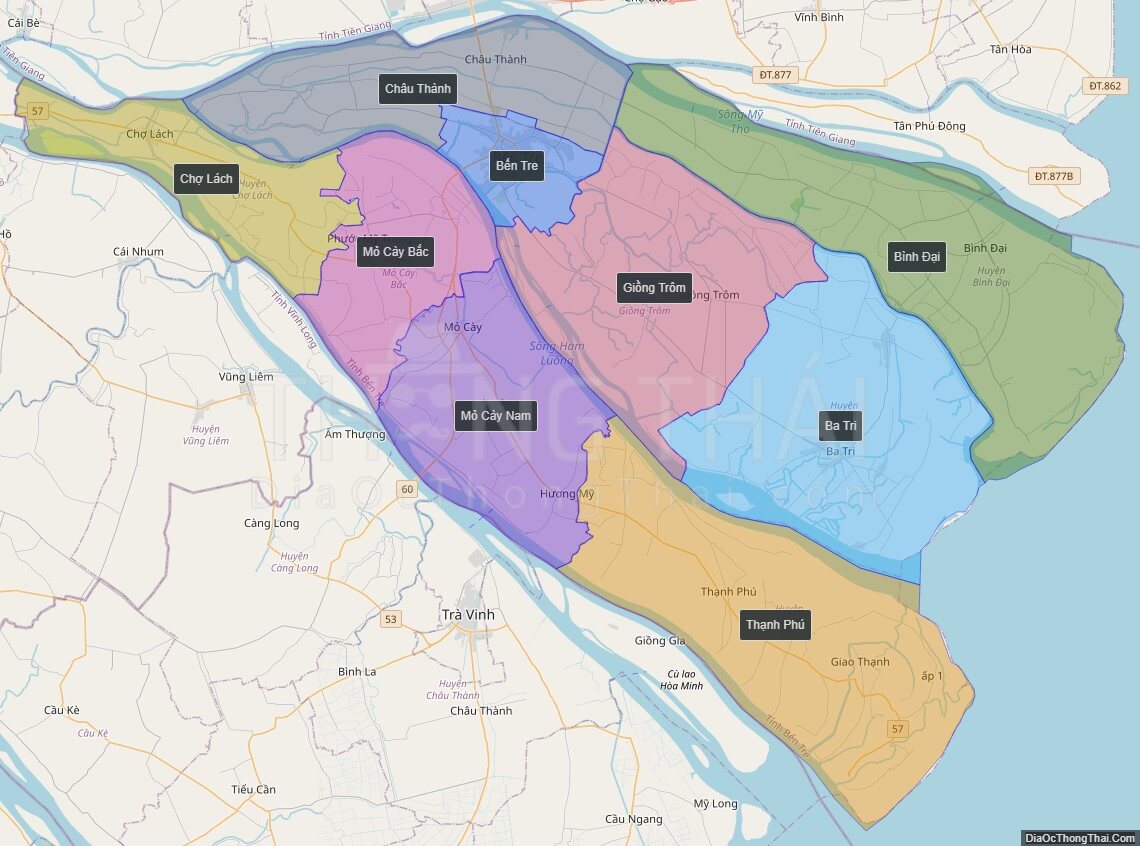
Ben Tre is subdivided into 9 district-level sub-divisions:

* 8 districts:

* Ba Tri

* Binh Dai

* Chau Thanh

* Cho Lach

* Giong Trom

* Mo Cay Bac

* Mo Cay Nam

Political Map of Ben Tre province

Click on View map in full screen to view map in "full screen" mode.

Interactive online map of Ben Tre province. Source: Database of Global Administrative Areas, Global Map of Vietnam ©ISCGM, Ministry of Nutural Resources and Environment – Vietnam.
Base Map Layer: Open Street Map (OSM), Arcgisonline, Google Map, Wmflabs.

Large scale maps of Ben Tre province

HD map of Ben Tre province
HD Map of Ben Tre province
Political map of Ben Tre province
Political Map of Ben Tre province
Administrative map of Ben Tre province
Administrative Map of Ben Tre province

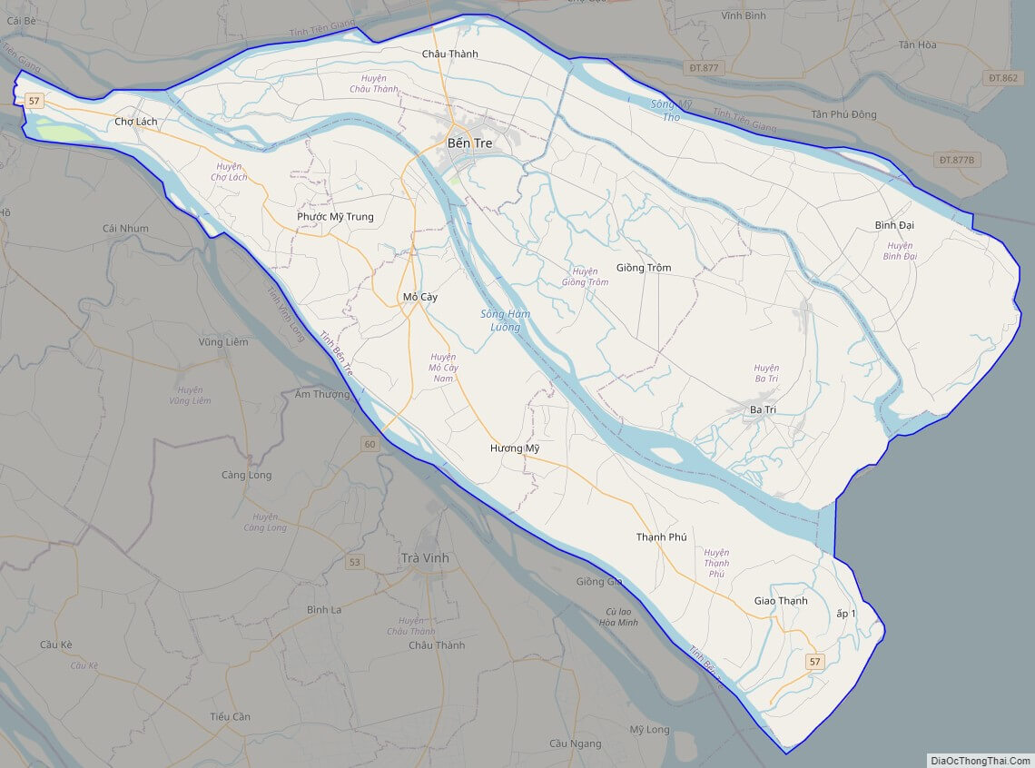
Ben Tre province location map
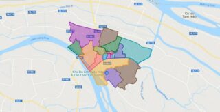
Where is Ben Tre province. Position of Ben Tre province in Vietnam Map
Location of Ben Tre province in Viet Nam Map

Ben Tre street map

Ben Tre street map
Street Map map of Ben Tre province

Ben Tre satellite map

Ben Tre satellite map
Satellite Map map of Ben Tre province
5/5 - (5 votes)

Parent Unit Map

Map of Vietnam
Located in the Indochinese Peninsula’s eastern edge, Vietnam covers an area of around 331,211.6 sq. km. The coastline of mainland Vietnam is about 3,260 km long. The country also includes several islands.  Vietnam is roughly S-shaped running for a distance of about 1,650 km in the north-to-south directions. It is about 50 km wide at ... Read more
Map of Vietnam

Related Administrative Divisions

Sub-Administrative Units Maps