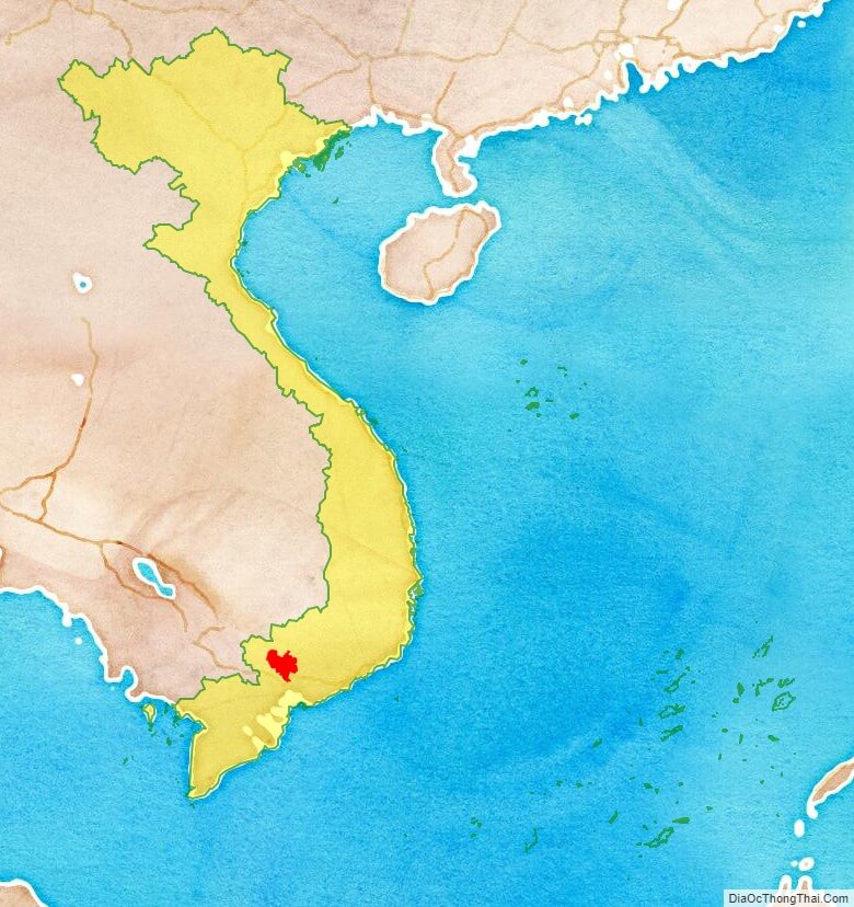
Binh Duong is a province of Vietnam. It is located in the Southeast region of the country, immediately to the north of Ho Chi Minh City. The province was created from Song Be Province on January 1, 1997.
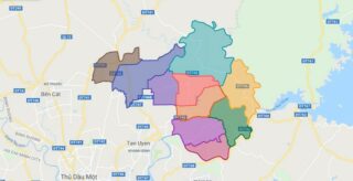
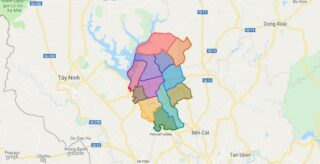
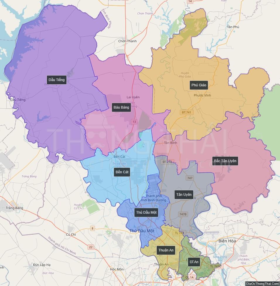
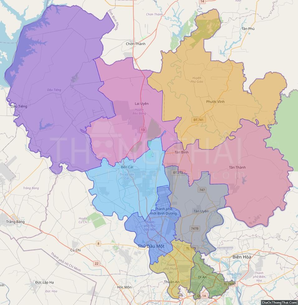
Political Map of Binh Duong province
Click on ![]() to view map in "full screen" mode.
to view map in "full screen" mode.
Base Map Layer: Open Street Map (OSM), Arcgisonline, Google Map, Wmflabs.
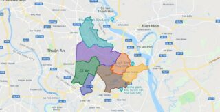
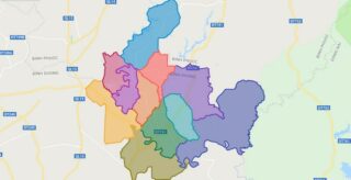
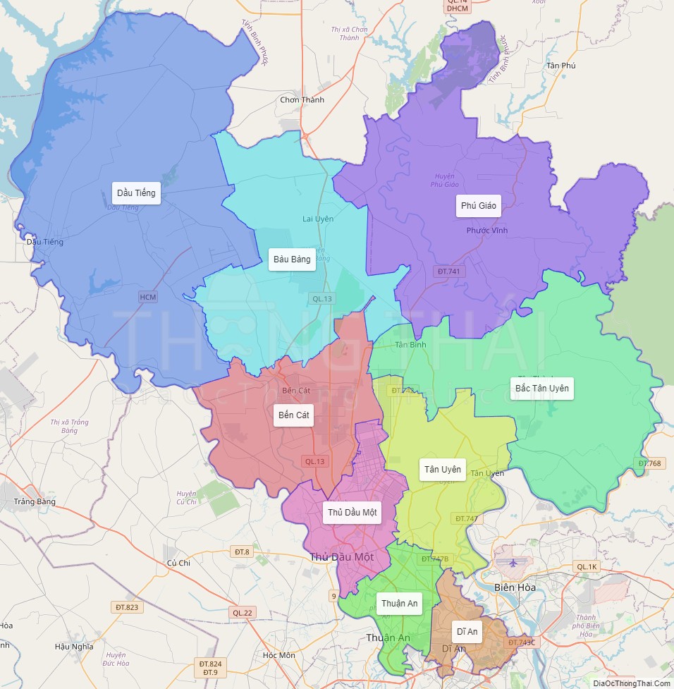
Large scale maps of Binh Duong province
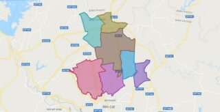
Binh Duong province location map
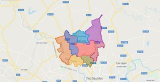
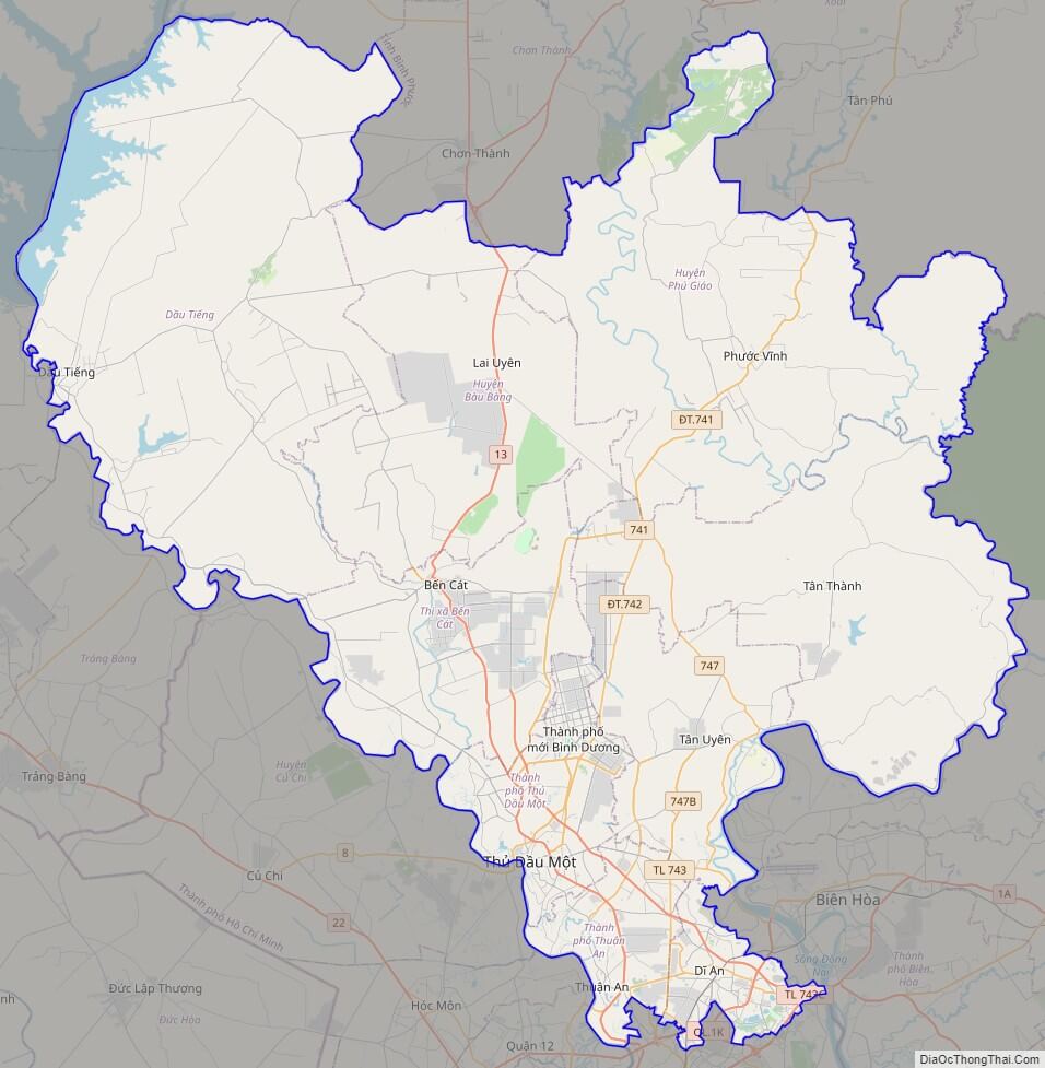
Binh Duong street map
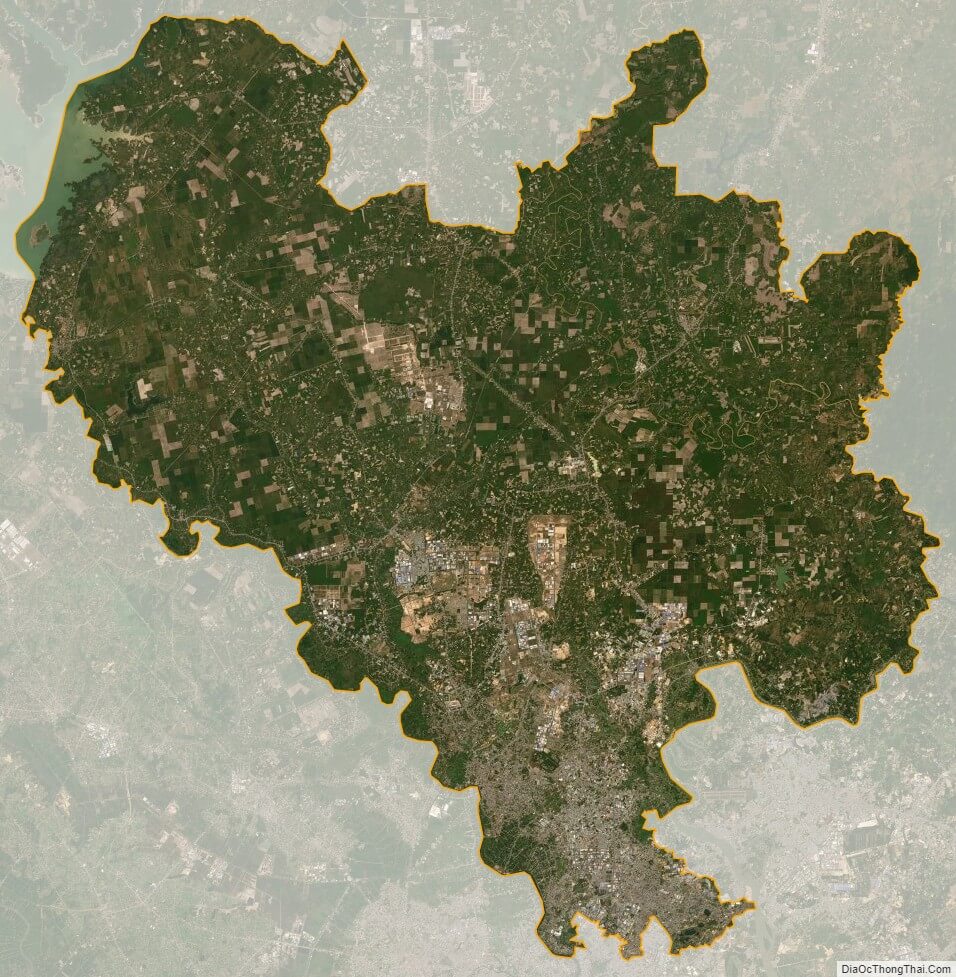
Binh Duong satellite map