Binh Thuan is a province of Vietnam. It is located on the country’s South Central Coast, not far from Ho Chi Minh City. It is sometimes seen as part of the Southeast region. The province is known for its scenery and beaches. There are also a number of sites of archaeological significance.
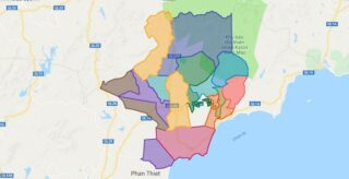
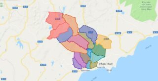
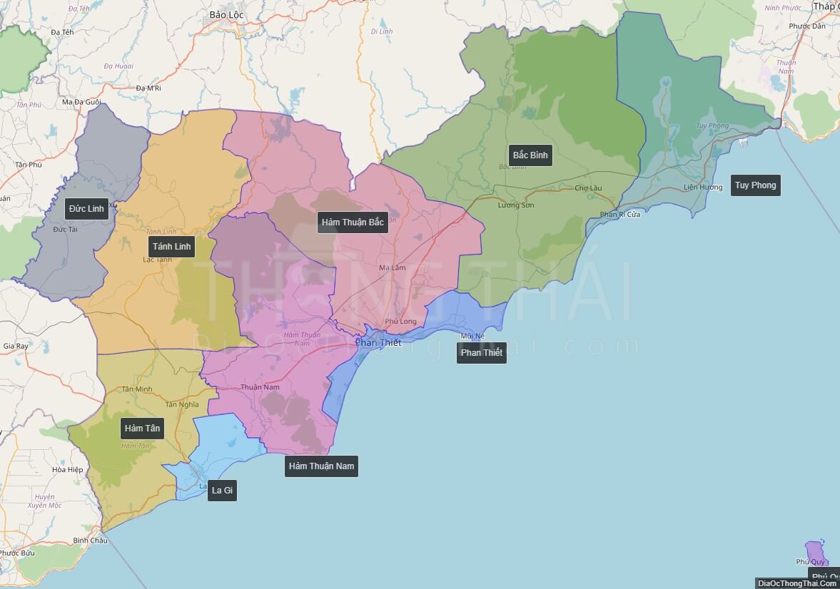
Political Map of Binh Thuan province
Click on ![]() to view map in "full screen" mode.
to view map in "full screen" mode.
Base Map Layer: Open Street Map (OSM), Arcgisonline, Google Map, Wmflabs.
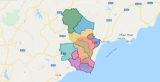
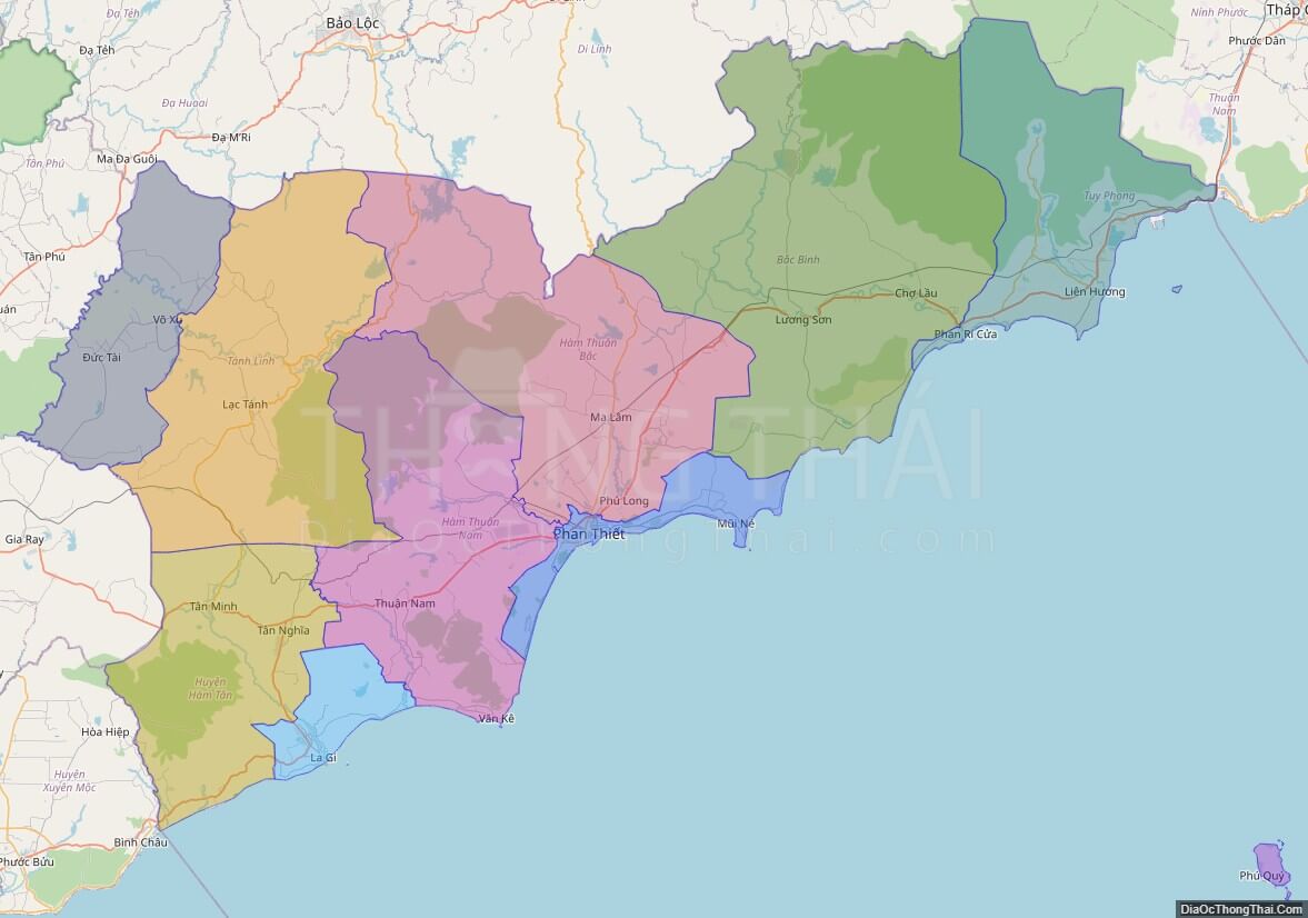
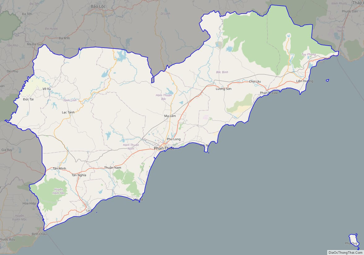
Large scale maps of Binh Thuan province
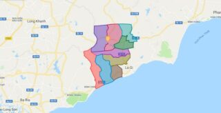
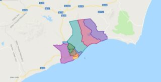
Binh Thuan province location map

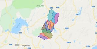
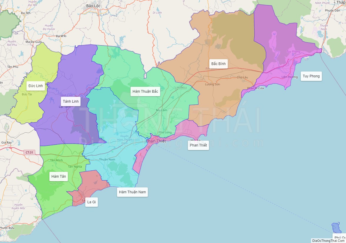
Binh Thuan street map
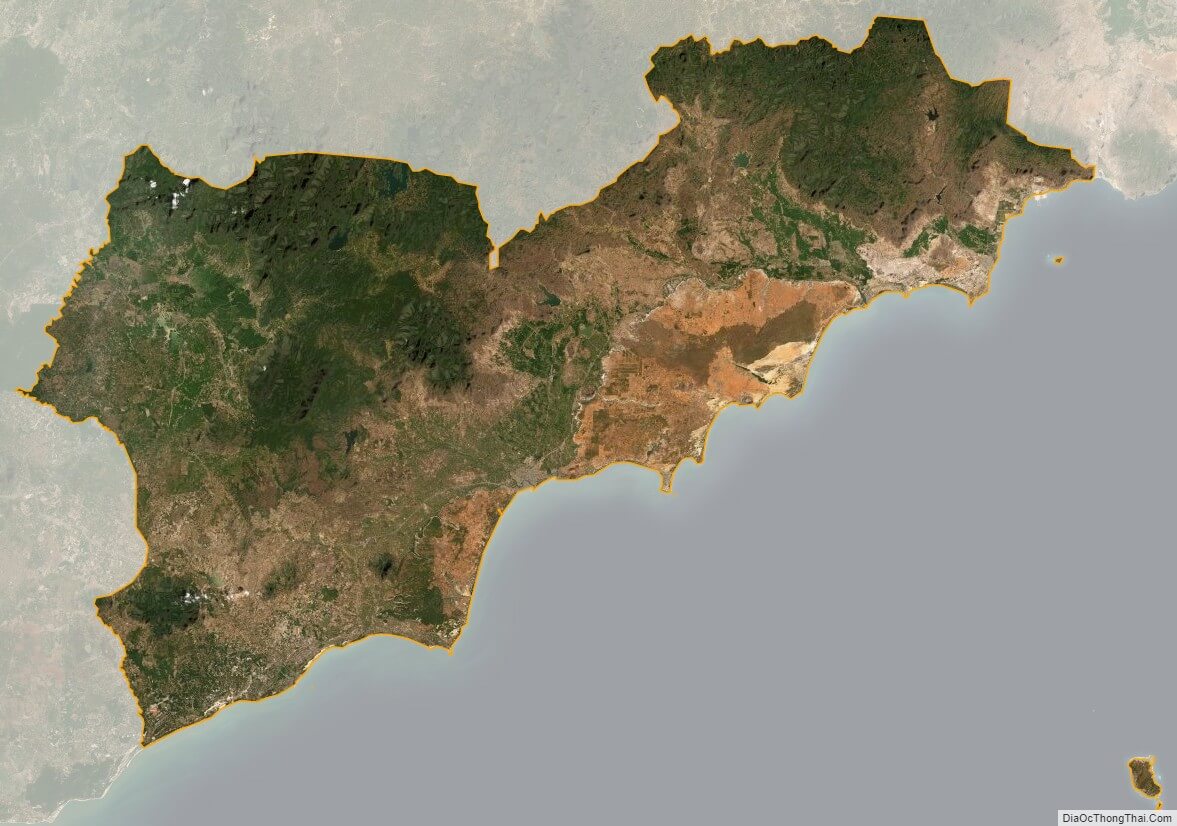
Binh Thuan satellite map