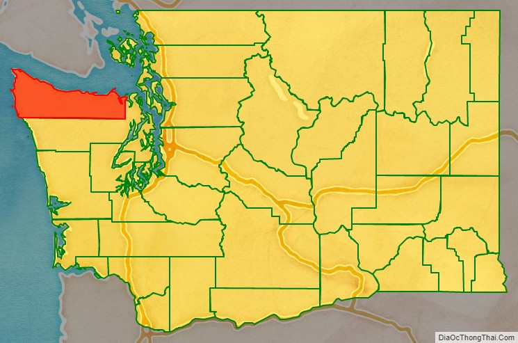
Clallam County is a county in the U.S. state of Washington. As of the 2020 census, the population was 77,155, with an estimated population of 78,209 in 2021. The county seat and largest city is Port Angeles; the county as a whole comprises the Port Angeles, WA Micropolitan Statistical Area. The name is a Klallam word for “the strong people”. The county was formed on April 26, 1854. Located on the Olympic Peninsula, it is south from the Strait of Juan de Fuca, which forms the Canada–US border, as British Columbia’s Vancouver Island is across the strait.
| Name: | Clallam County |
|---|---|
| FIPS code: | 53-009 |
| State: | Washington |
| Founded: | April 26, 1854 |
| Seat: | Port Angeles |
| Largest city: | Port Angeles |
| Total Area: | 2,671 sq mi (6,920 km²) |
| Land Area: | 1,738 sq mi (4,500 km²) |
| Total Population: | 77,155 |
| Population Density: | 44.4/sq mi (17.1/km²) |
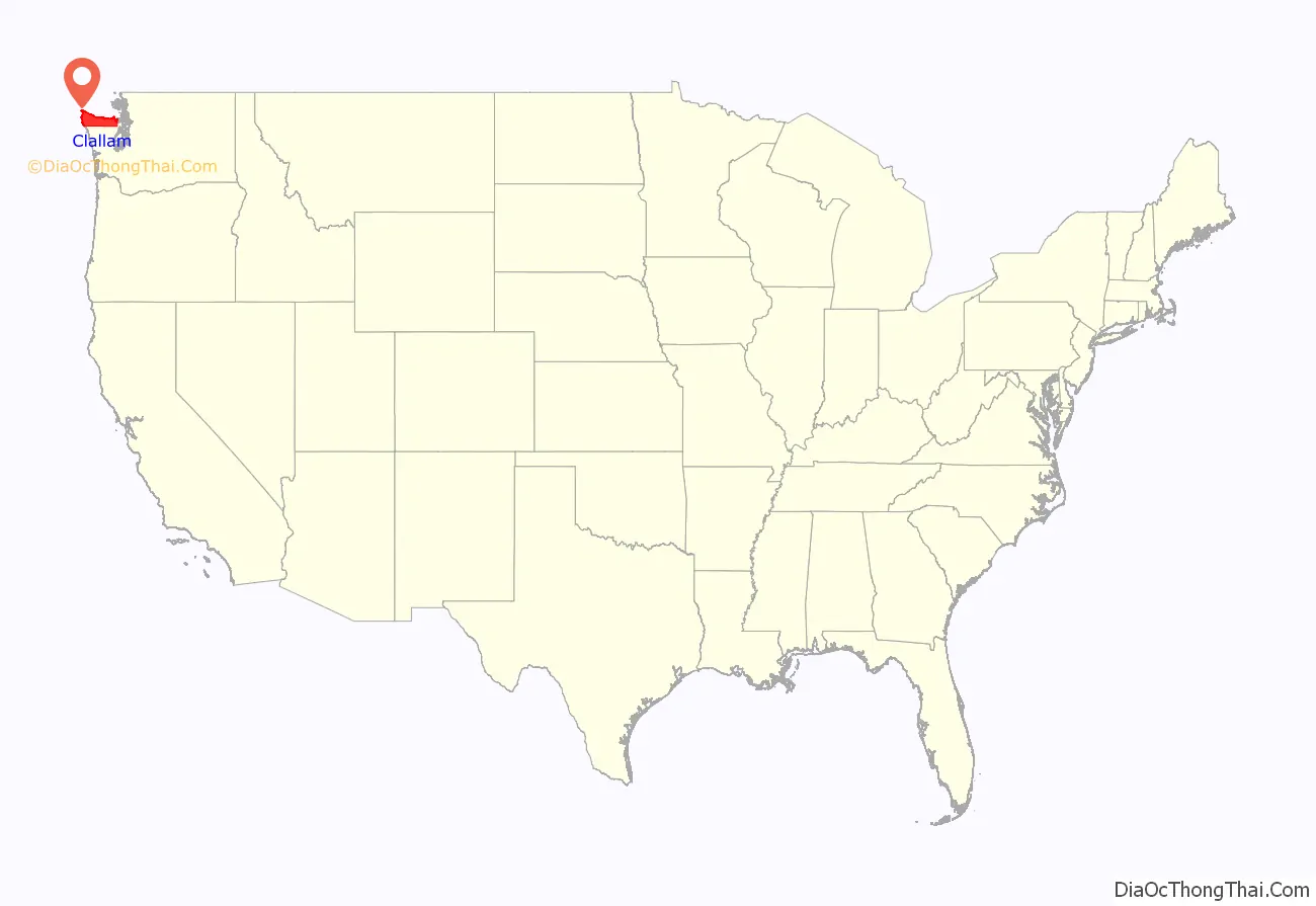
Clallam County location map. Where is Clallam County?
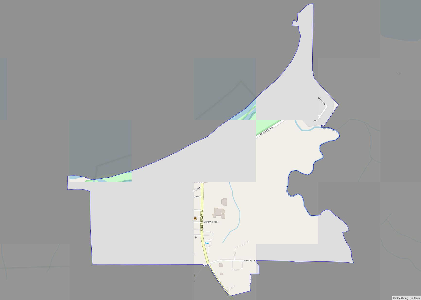
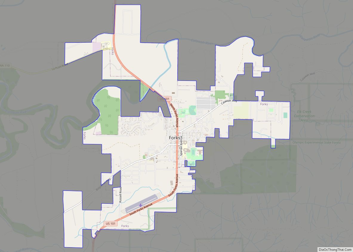
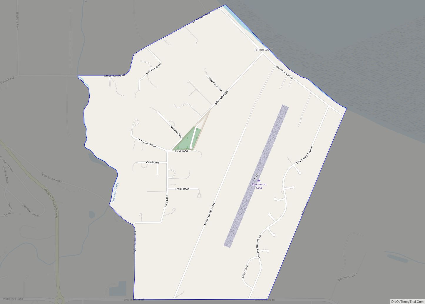
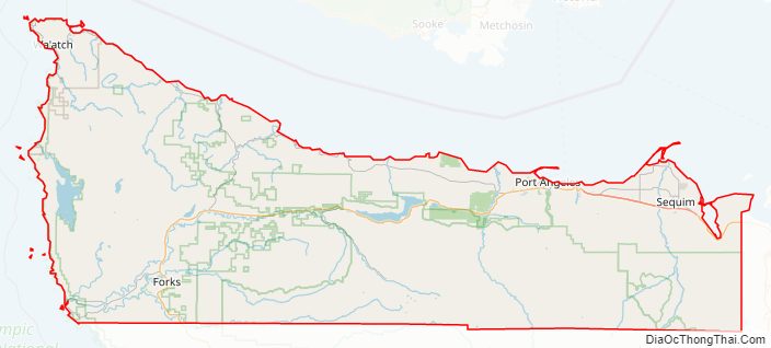
Clallam County Road Map
Geography
According to the United States Census Bureau, the county has a total area of 2,671 square miles (6,920 km), of which 1,738 square miles (4,500 km) is land and 932 square miles (2,410 km) (35%) is water.
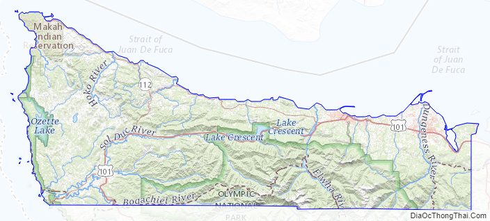
Located in Clallam County is Cape Alava, the westernmost point in both Washington and the contiguous United States, with a longitude of 124 degrees, 43 minutes and 59 seconds West (−124.733). Near Cape Alava is Ozette, the westernmost town in the contiguous United States. Clallam County also contains the west-northwesternmost, northwesternmost, and north-northwesternmost points in the contiguous United States.
Geographic features
Adjacent counties
- Capital Regional District, British Columbia – north
- Jefferson County – south & east
National protected areas
- Pacific Northwest National Scenic Trail (part)
- Dungeness National Wildlife Refuge
- Flattery Rocks National Wildlife Refuge
- Olympic National Forest (part)
- Olympic National Park (part)
- Quillayute Needles National Wildlife Refuge (part)
Clallam County Topographic Map
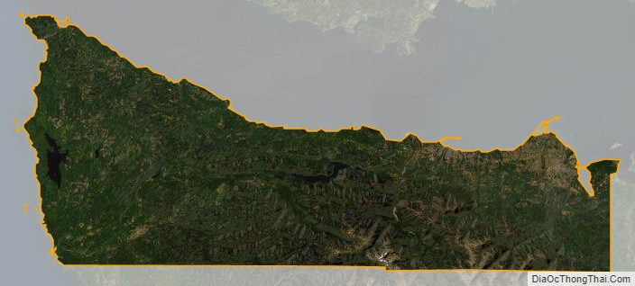
Clallam County Satellite Map
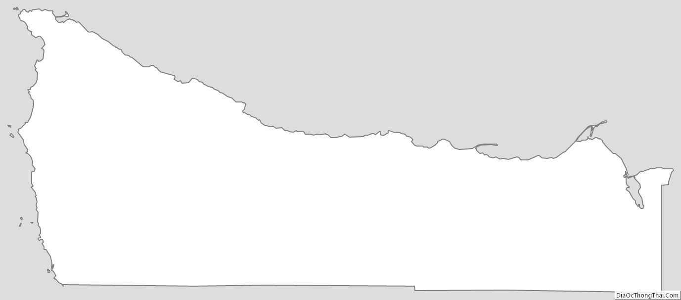
Clallam County Outline Map