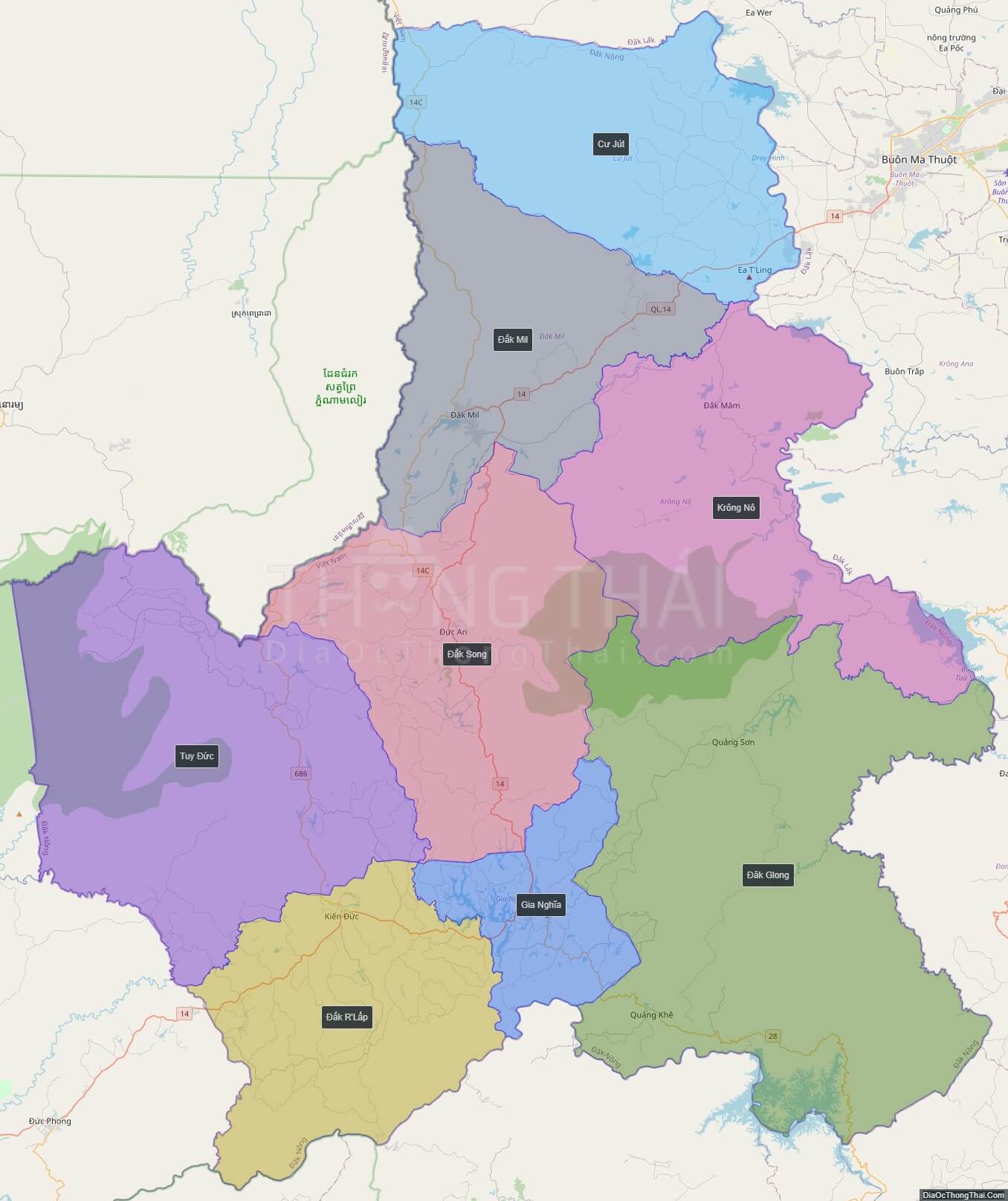
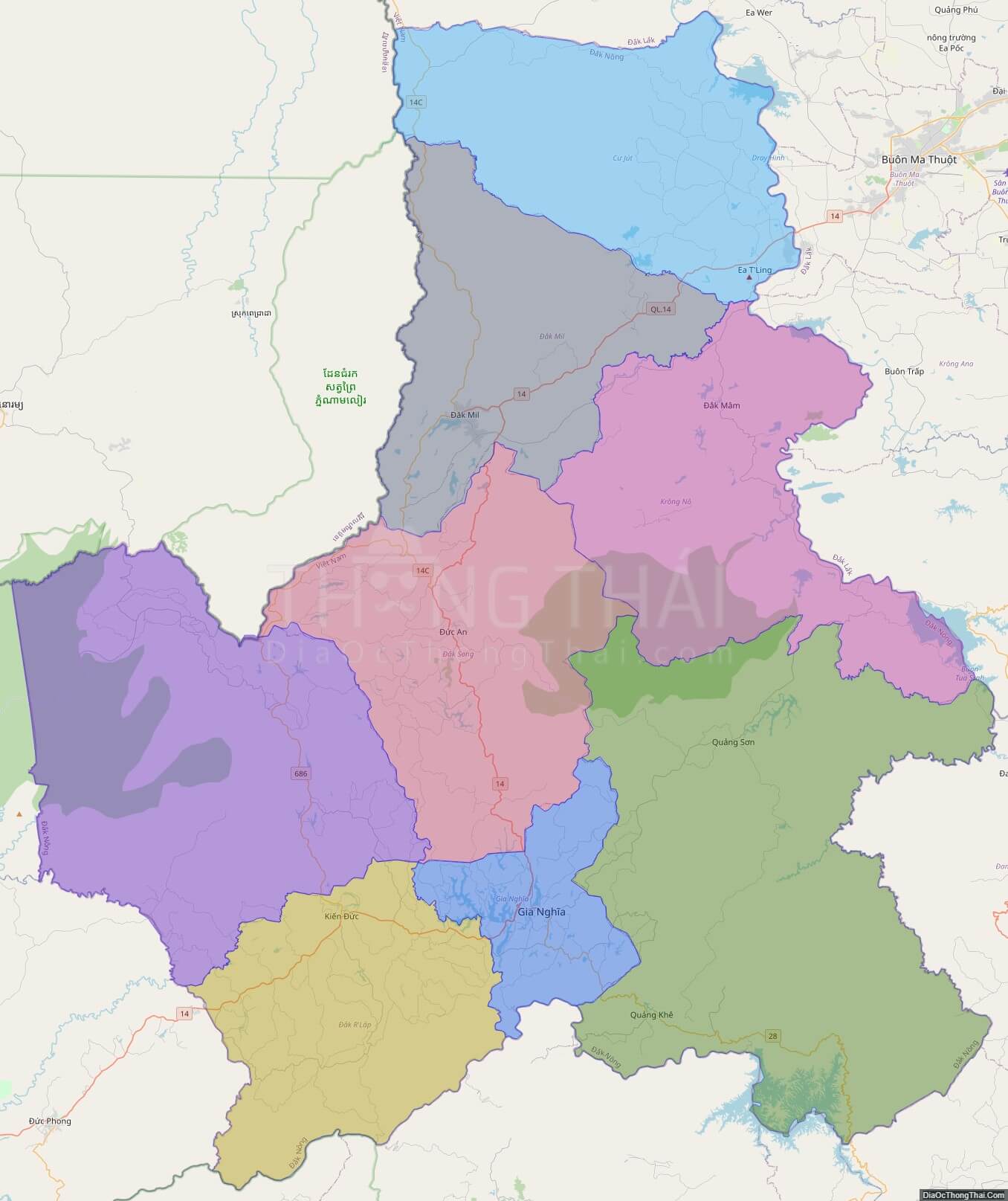
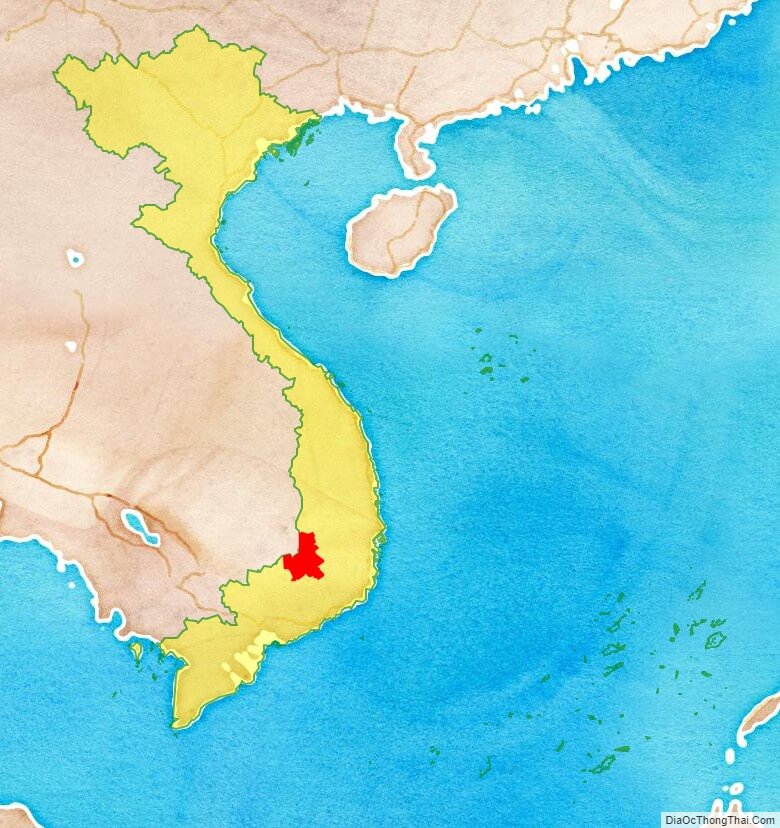
Dak Nong, also Ðac Nong, is a province of Vietnam. It is located in the country’s Central Highlands. The provincial capital is Gia Nghia.
Dak Nong borders Dak Lak Province in the north, Lam Dong Province in the south-east, Binh Phuoc Province and Cambodia in the west. It is located in the southern part of the Central Highlands, about 500m above sea level. The terrain is lower in the west. Dak Nong has large fields and lakes in the south. Dak Nong has three main river systems: Ba River, Serepok River and other small rivers
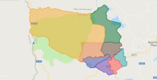
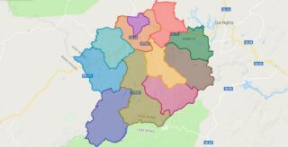
Political Map of Dak Nong province
Click on ![]() to view map in "full screen" mode.
to view map in "full screen" mode.
Base Map Layer: Open Street Map (OSM), Arcgisonline, Google Map, Wmflabs.
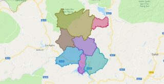
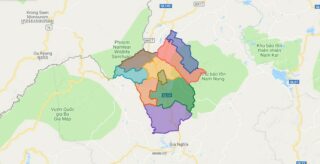
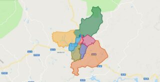
Large scale maps of Dak Nong province
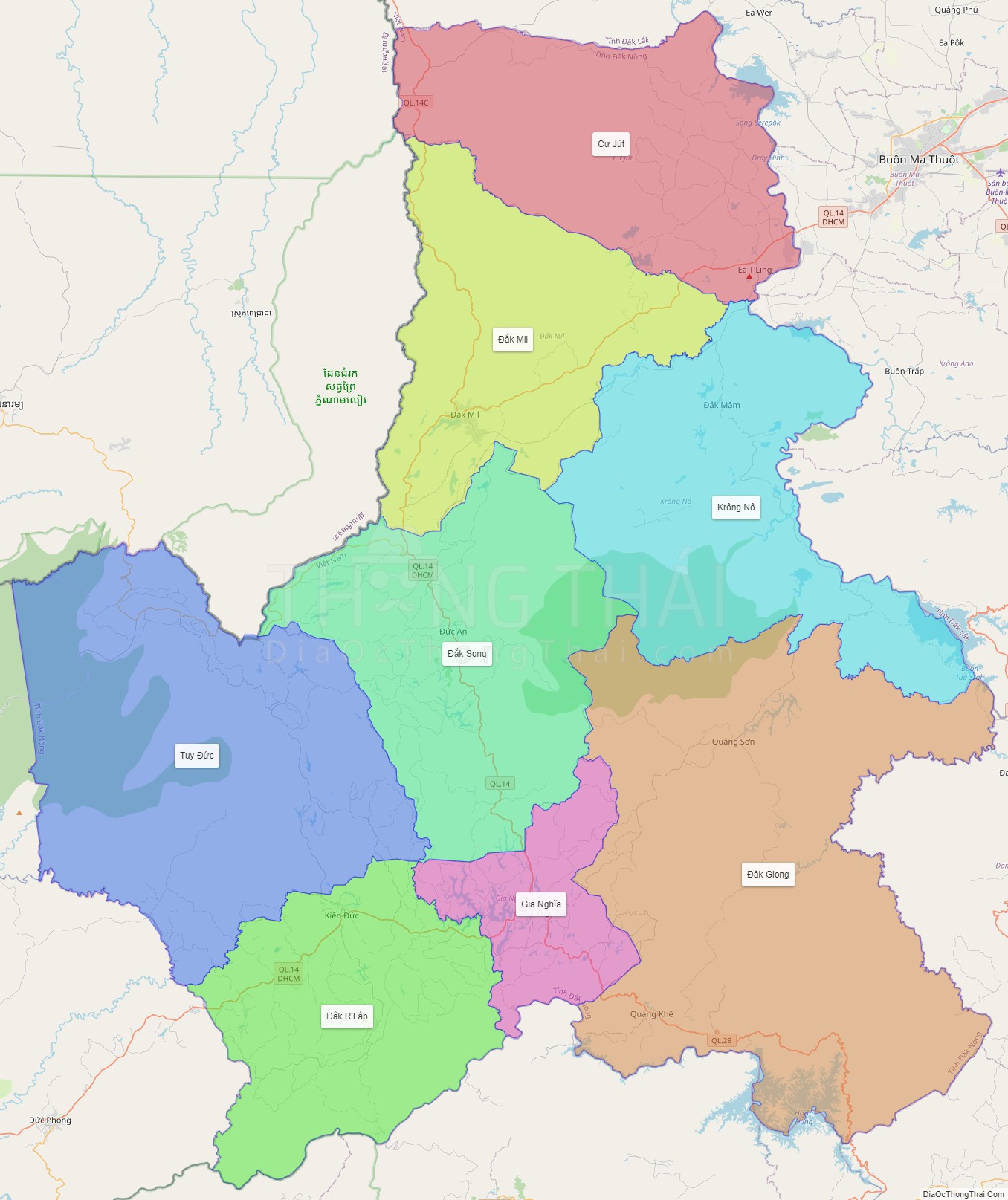
Dak Nong province location map
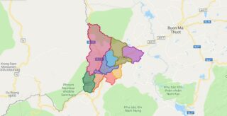
Dak Nong street map
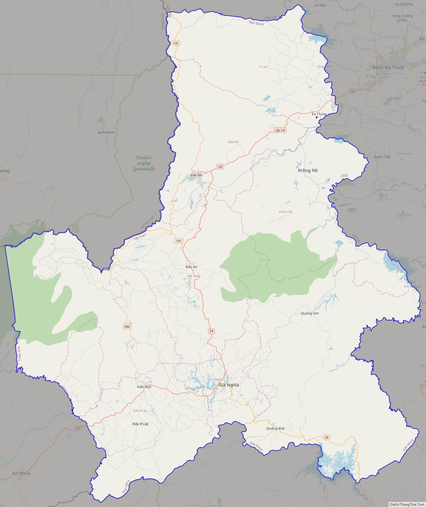
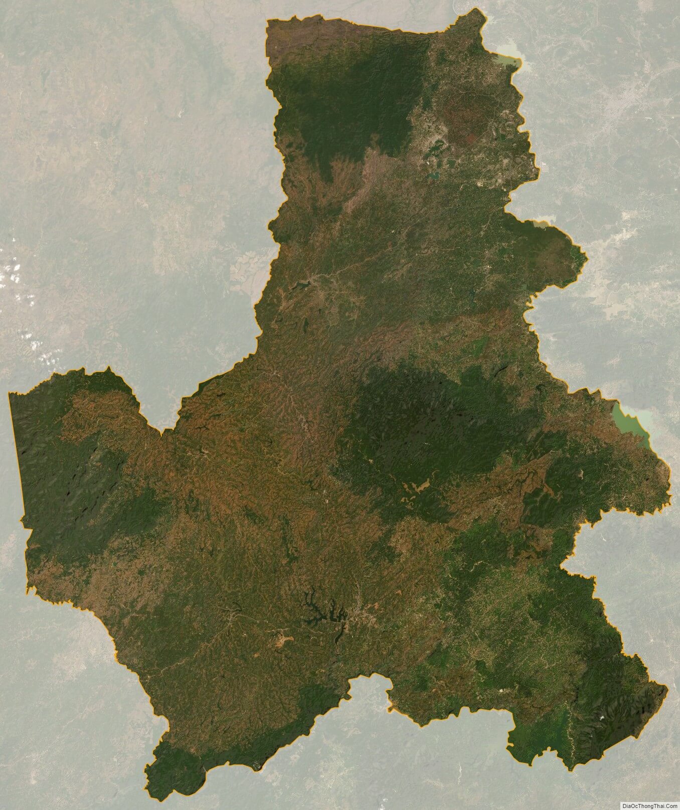
Dak Nong satellite map