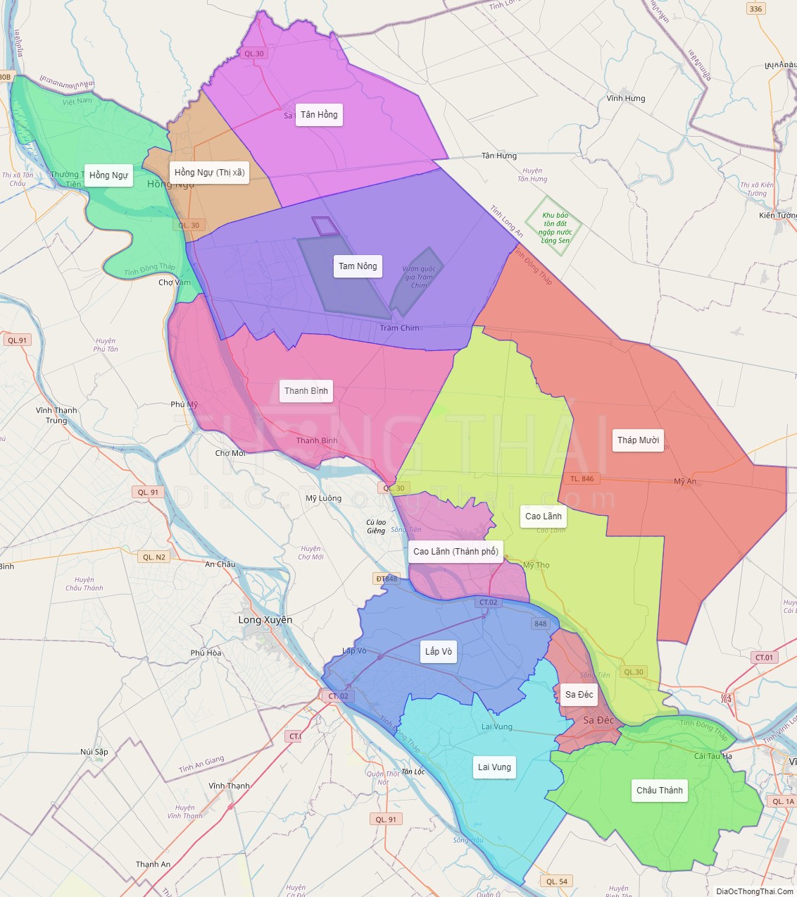
Dong Thap is a province in the Mekong Delta and Dong Thap Muoi region of southern Vietnam. Dong Thap is 165 km from Ho Chi Minh City, bordered by Pray Veng Province (Cambodia) in the north with a length of more than 48 km; Vinh Long and Can Tho in the south; An Giang in the west; and Long An and Tien Giang in the east.
Dong Thap is a newly cultivated area in about 17th and 18th century, under the Nguyen lords. Foundation of this area adhered to powerful struggling history against nature, dangerous animals and aggressors.
The south of Dong Thap province whose center is Sa Dec plays a very significant role. Many researches have shown that overseas Vietnamese got to come to Sa Dec area for reclaiming and setting up hamlets at least at the end of the 17th century or at the beginning of the 18th century. Sa Dec is a Khmer word meaning “iron market”. Does this market sell agricultural tools made of iron or was the frame of this market made of iron? There has not had any reasonable explanations for these concerns; however, Sa Dec is probably considered the newest area on the way to develop the country in 1757 led by Nguyen Cu Trinh, a mandarin who was known for his achievement in reassuring people in Quang Ngai.
After the civil war between Nguyen Anh and Tay Son siblings, Gia Long was on the throne to help stabilize Sa Dec and made it become a part of Vinh An district. Sa Dec then with a favorable geographical location, did become the most crowded trading center of Mekong delta at that time, only smaller than Saigon, Cholon.
Cao Lanh located in the north of Tien river also has a glorious history. It is recorded in historical books that at the end of the 17th century, or early in the 18th century, some overseas Vietnamese at Ba Canh hamlet (currently belonging to Dap Da commune, Dap Da town, Binh Dinh province) came to cultivate, settled down near Cai Sao Thuong rivulet, forming Ba Canh commune. Nguyen Tu was accredited with having gathered people, cultivated and set up hamlets. He was elevated to the status of Tien Hien – an anciently righteous person – of the village. Nowadays, that stele has been found near Dinh Trung bridge, ward 2, Cao Lanh city.
Cao Lanh used to be the stopover of many patriots such as Tran Chanh Chieu, Nguyen Sinh Sac…People in Cao Lanh consistently struggled, tremendously contributing to the absolute victory of South of Vietnam in historical campaign Ho Chi Minh, united the whole country, and Cao Lanh, since April 30, 1975, was merged with Sa Dec to become Dong Thap nowadays.
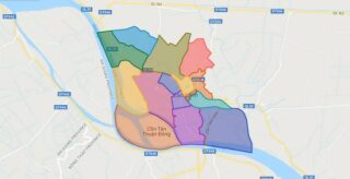
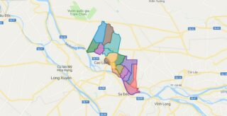
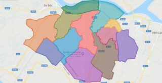
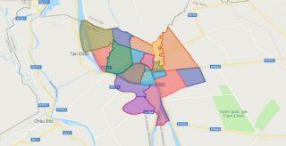
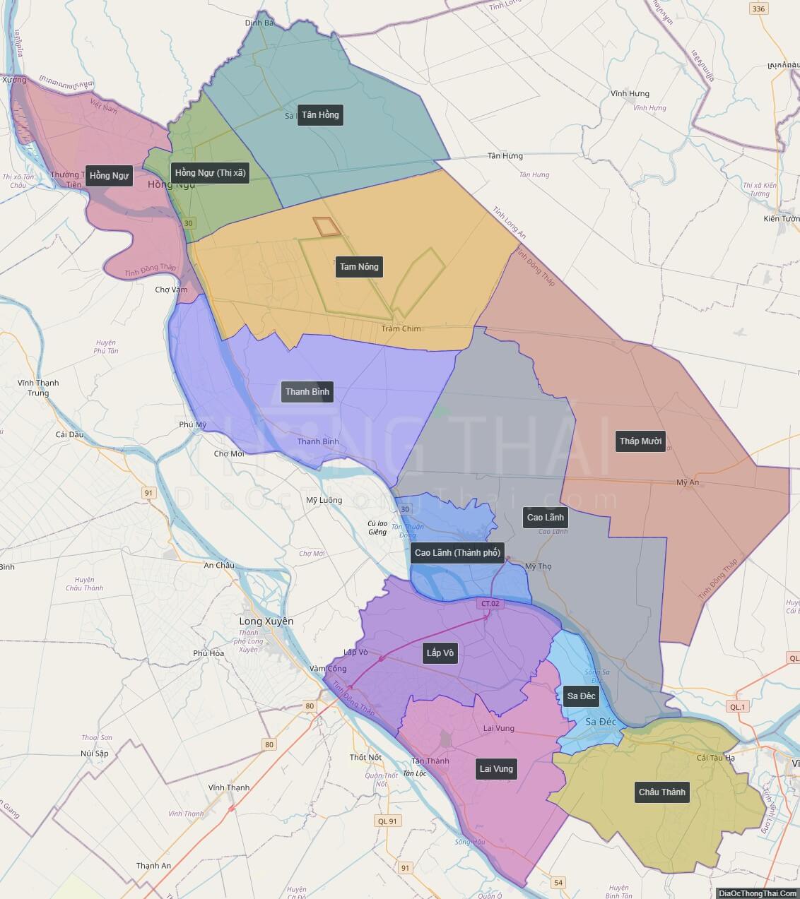
Political Map of Dong Thap province
Click on ![]() to view map in "full screen" mode.
to view map in "full screen" mode.
Base Map Layer: Open Street Map (OSM), Arcgisonline, Google Map, Wmflabs.
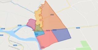
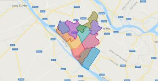
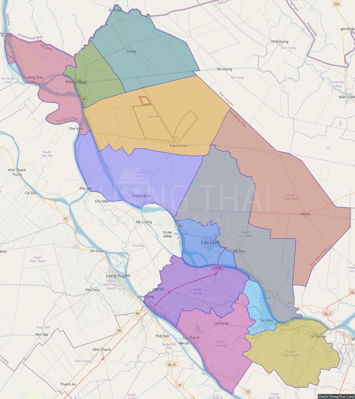
Large scale maps of Dong Thap province
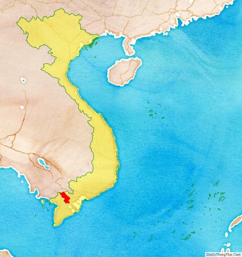
Dong Thap province location map
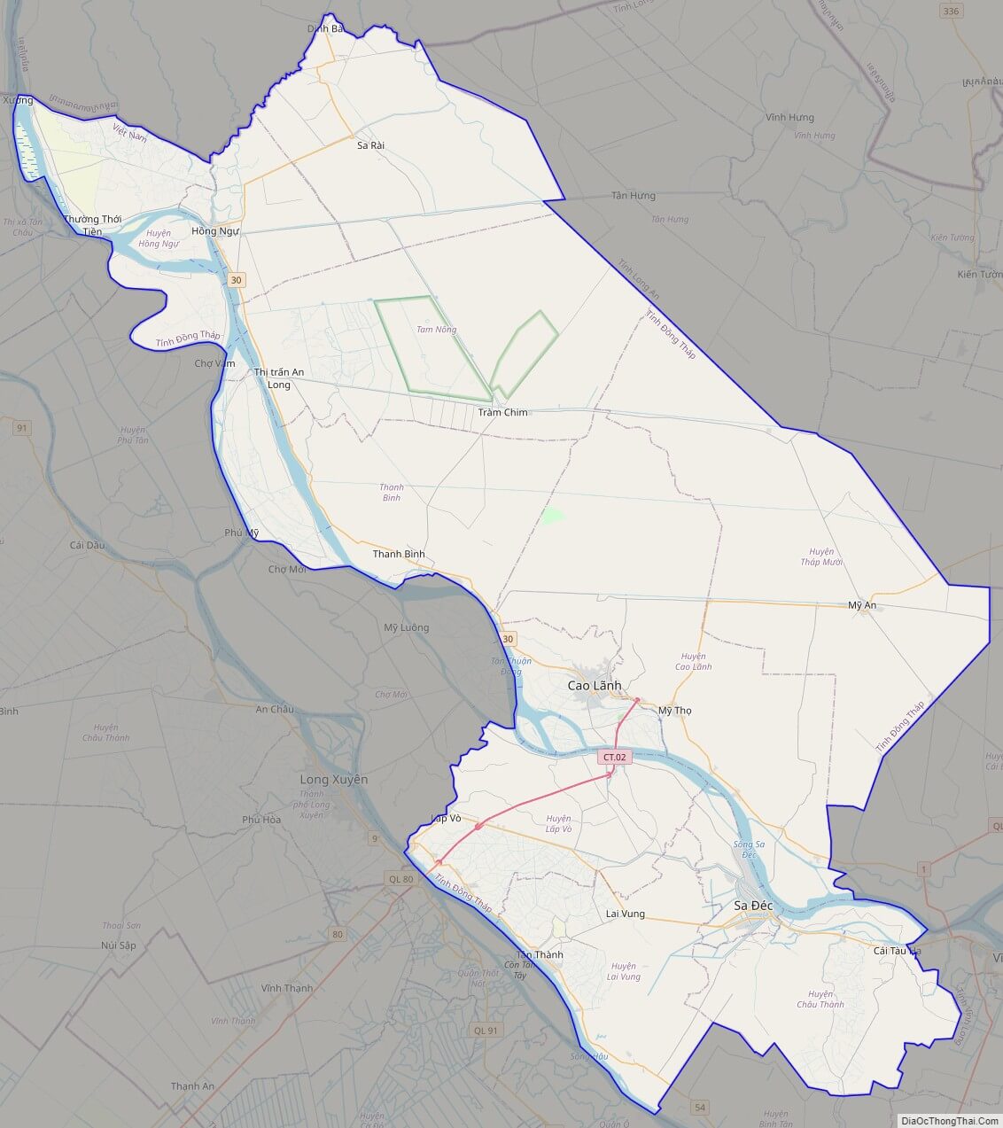
Dong Thap street map
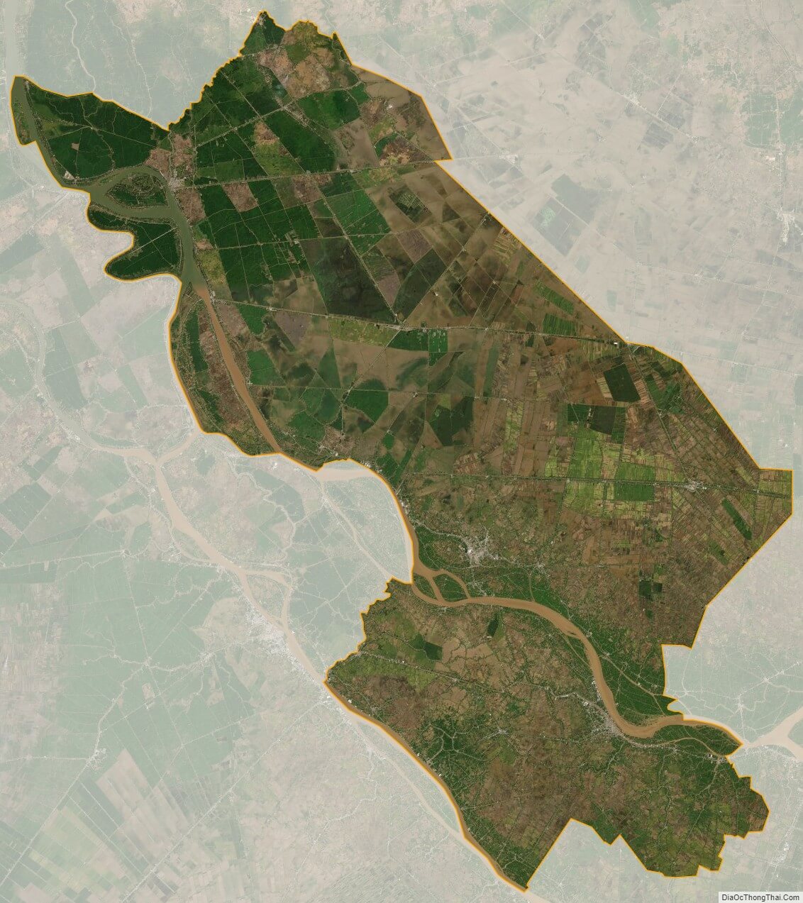
Dong Thap satellite map