Lai Chau is a province in the Northwest region of Vietnam. Lai Chau Province is the most sparsely populated in Vietnam. It shares a border with China. It once was a semi-independent White Tai confederation known as Sipsongchuthai, but was absorbed by France into French Indochina in the 1880s and subsequently became part of Vietnam following Vietnamese independence in 1954. It became part of the Northwest Autonomous Area of the Democratic Republic of Vietnam from 1955 to 1975, when Lai Chau Province was formed. Dien Bien Province was carved out of Lai Chau in 2004.
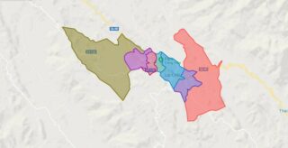
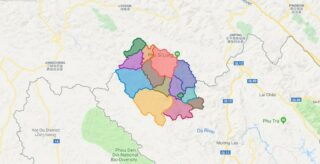
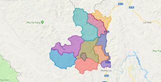
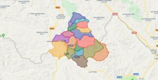
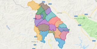
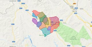
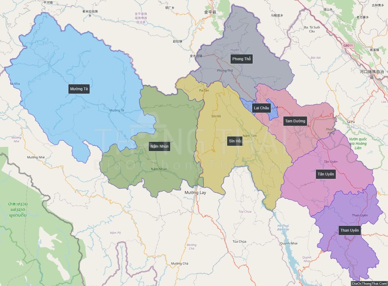
Political Map of Lai Chau province
Click on ![]() to view map in "full screen" mode.
to view map in "full screen" mode.
Base Map Layer: Open Street Map (OSM), Arcgisonline, Google Map, Wmflabs.
Large scale maps of Lai Chau province
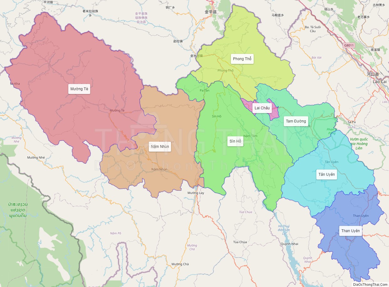
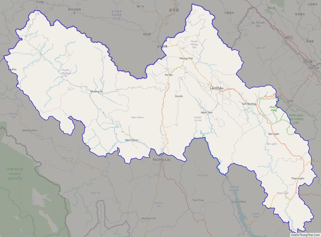
Lai Chau province location map

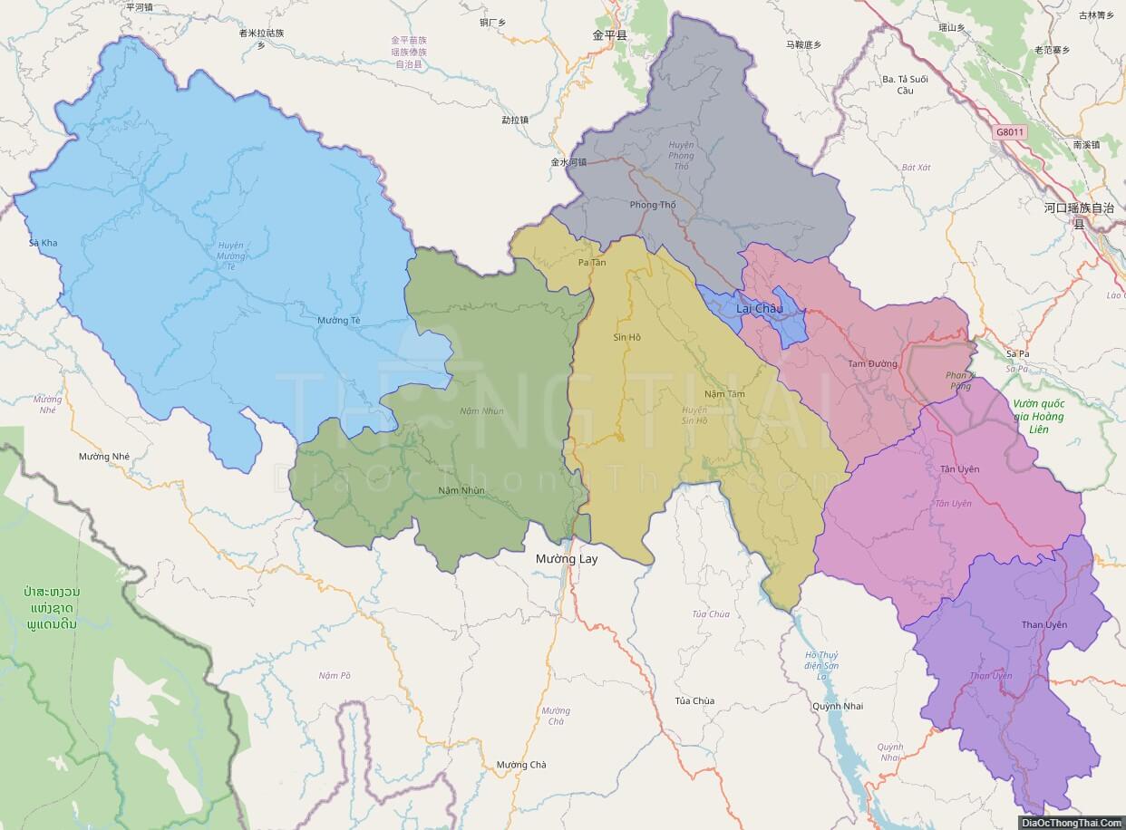
Lai Chau street map
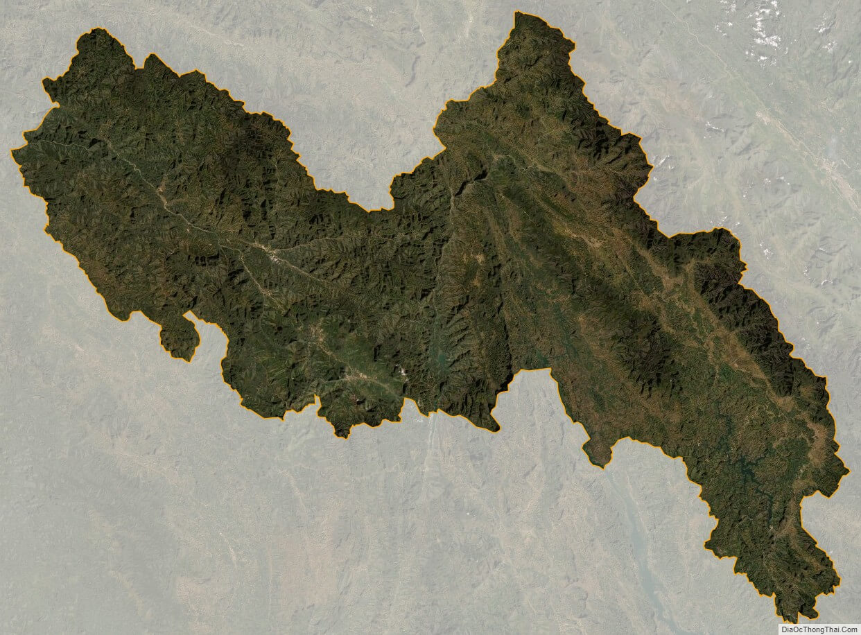
Lai Chau satellite map