Map of Phu Yen province

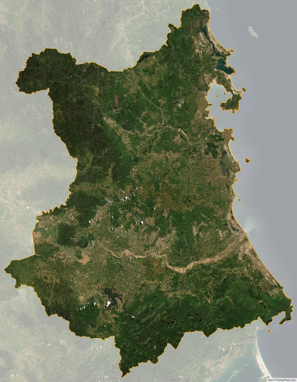
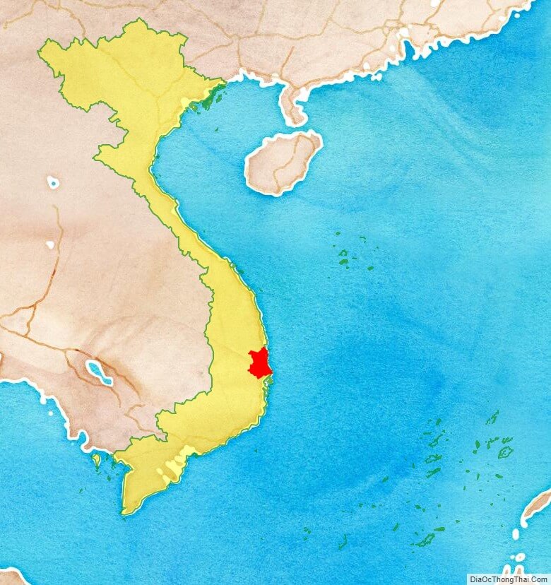
Phu Yen is a coastal province in the South Central Coast of Vietnam. It is the easternmost province of Vietnam’s mainland.

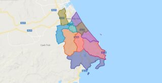
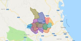
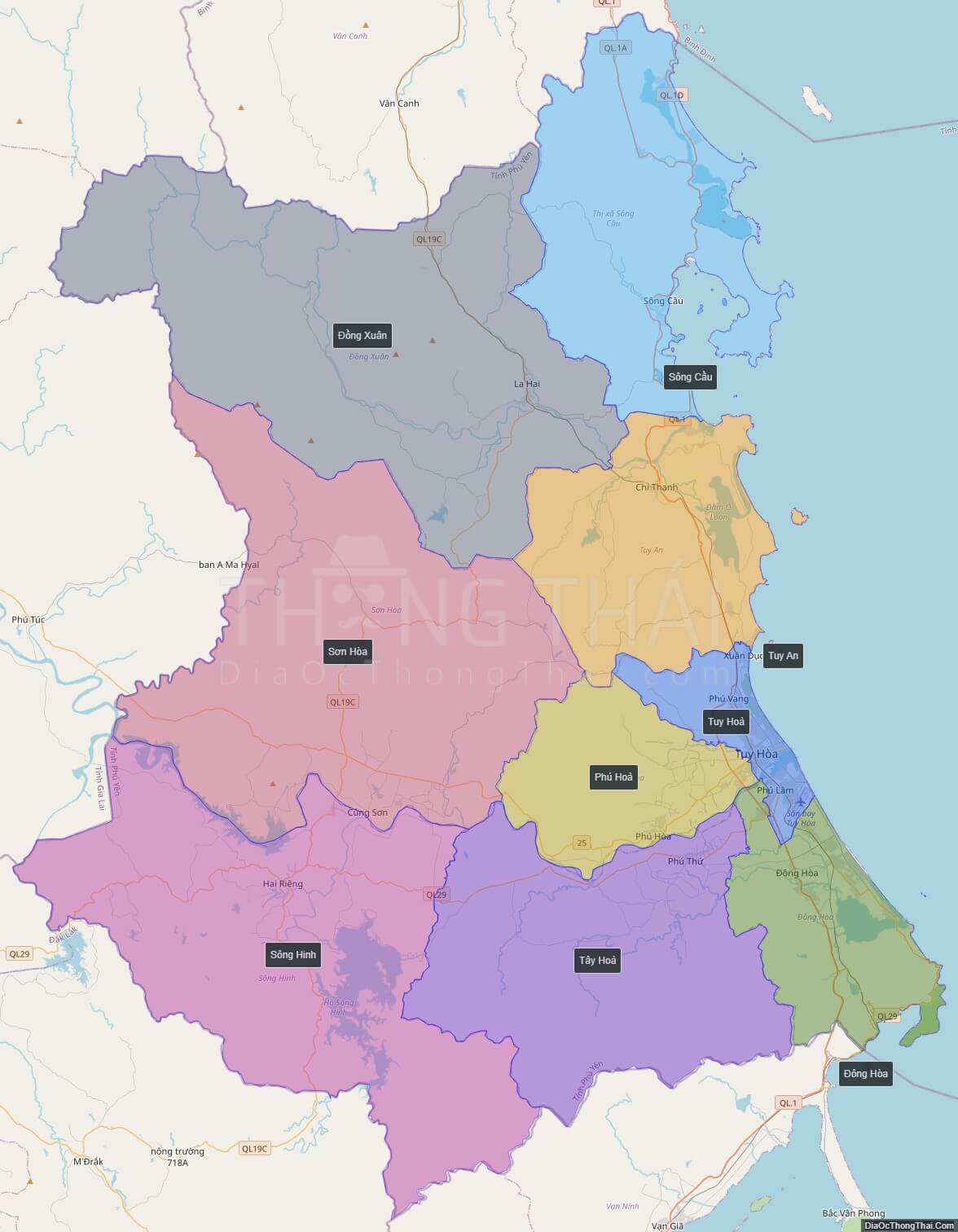
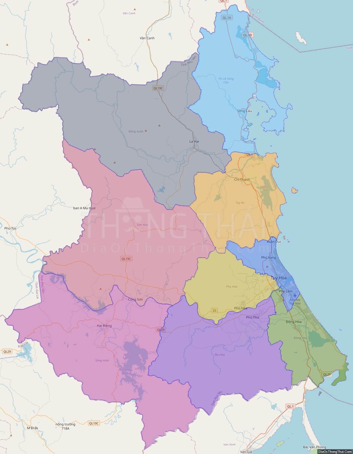
Political Map of Phu Yen province

Interactive online map of Phu Yen

Click on View map in full screen to view map in “full screen” mode.

Source: Database of Global Administrative Areas, Global Map of Vietnam ©ISCGM, Ministry of Nutural Resources and Environment -Vietnam.
Base Map Layer: Open Street Map (OSM), Arcgisonline, Google Map, Wmflabs.
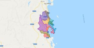
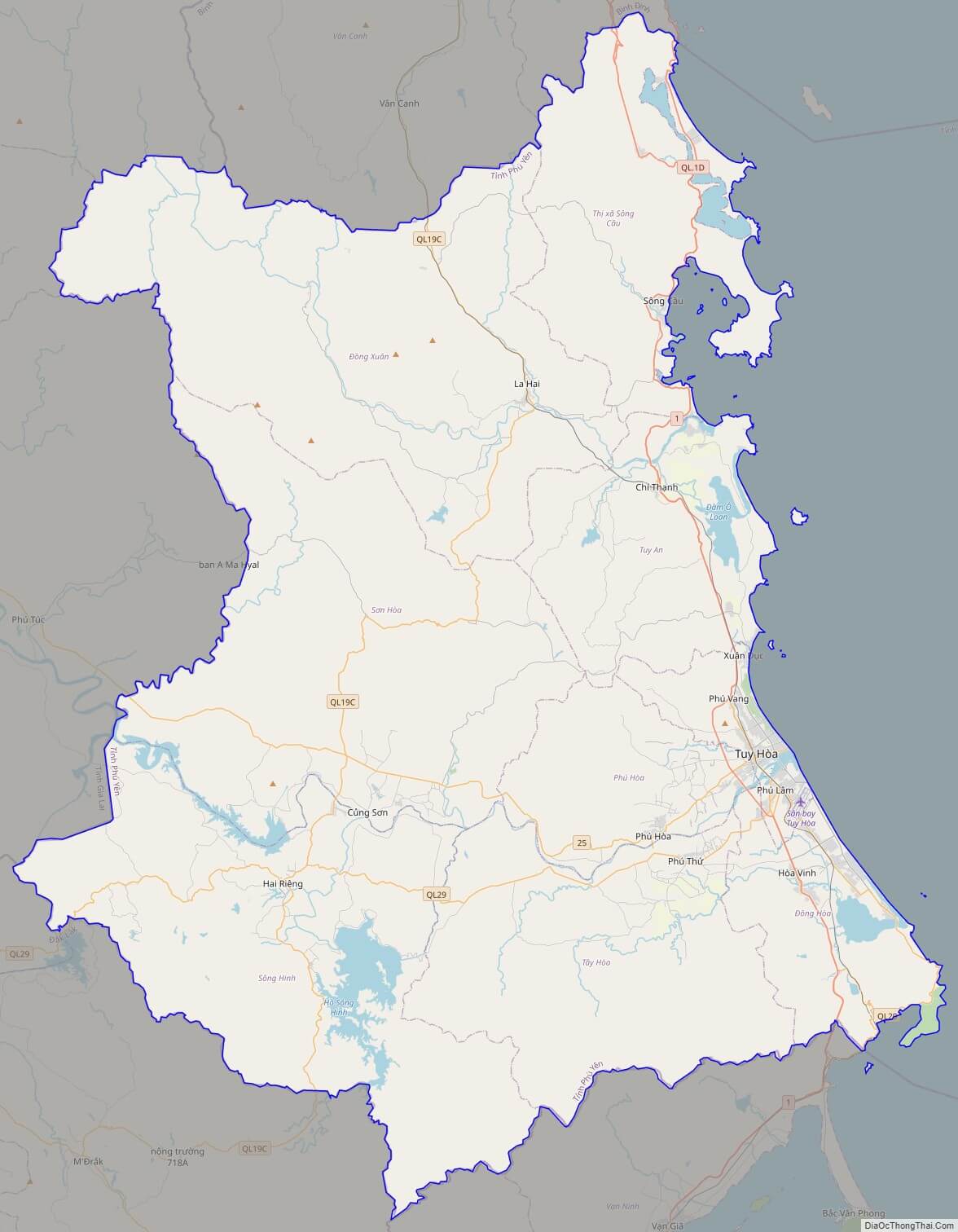
Large scale maps of Phu Yen

High-resolution political map of Phu Yen
High-resolution political map of Phu Yen. ©DiaOcThongThai. Click on picture to zoom in.

Phu Yen location map

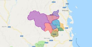
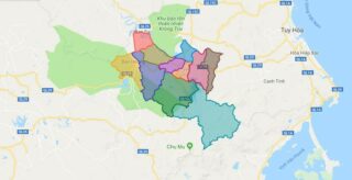
Phu Yen province location map
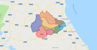
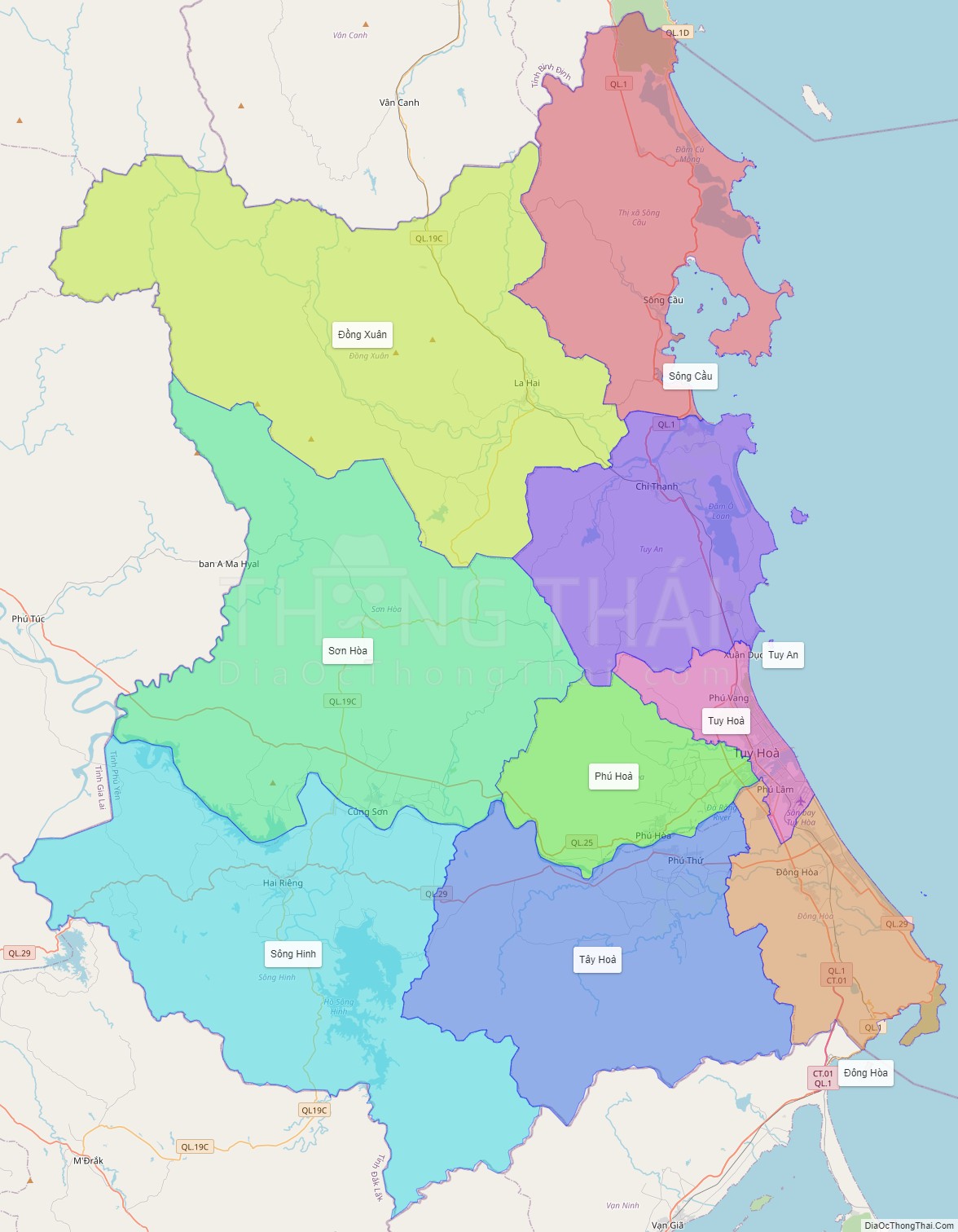
Phu Yen street map

Phu Yen street map
Street Map of Phu Yen province, Vietnam

Phu Yen satellite map

Phu Yen province satellite map
Satellite map of Phu Yen province, Vietnam

See also

See also map of Phu Yen province and district-level sub-divisions: Map of Vietnam provinces:
5/5 - (4 votes)