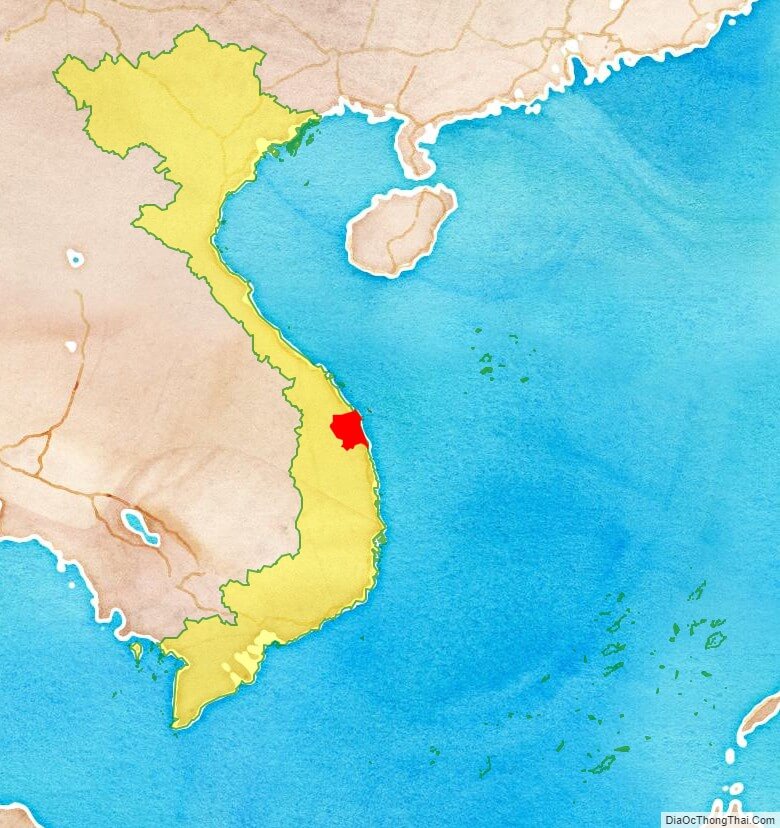
Quang Ngai is a province in the South Central Coast region of Vietnam, on the coast of South China Sea. It is located south of Hanoi and north of Ho Chi Minh City.
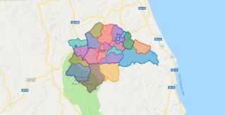
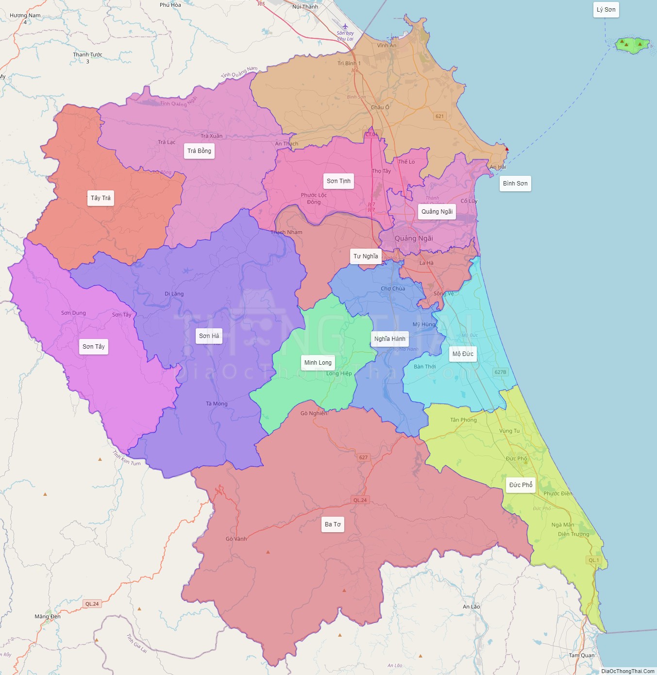
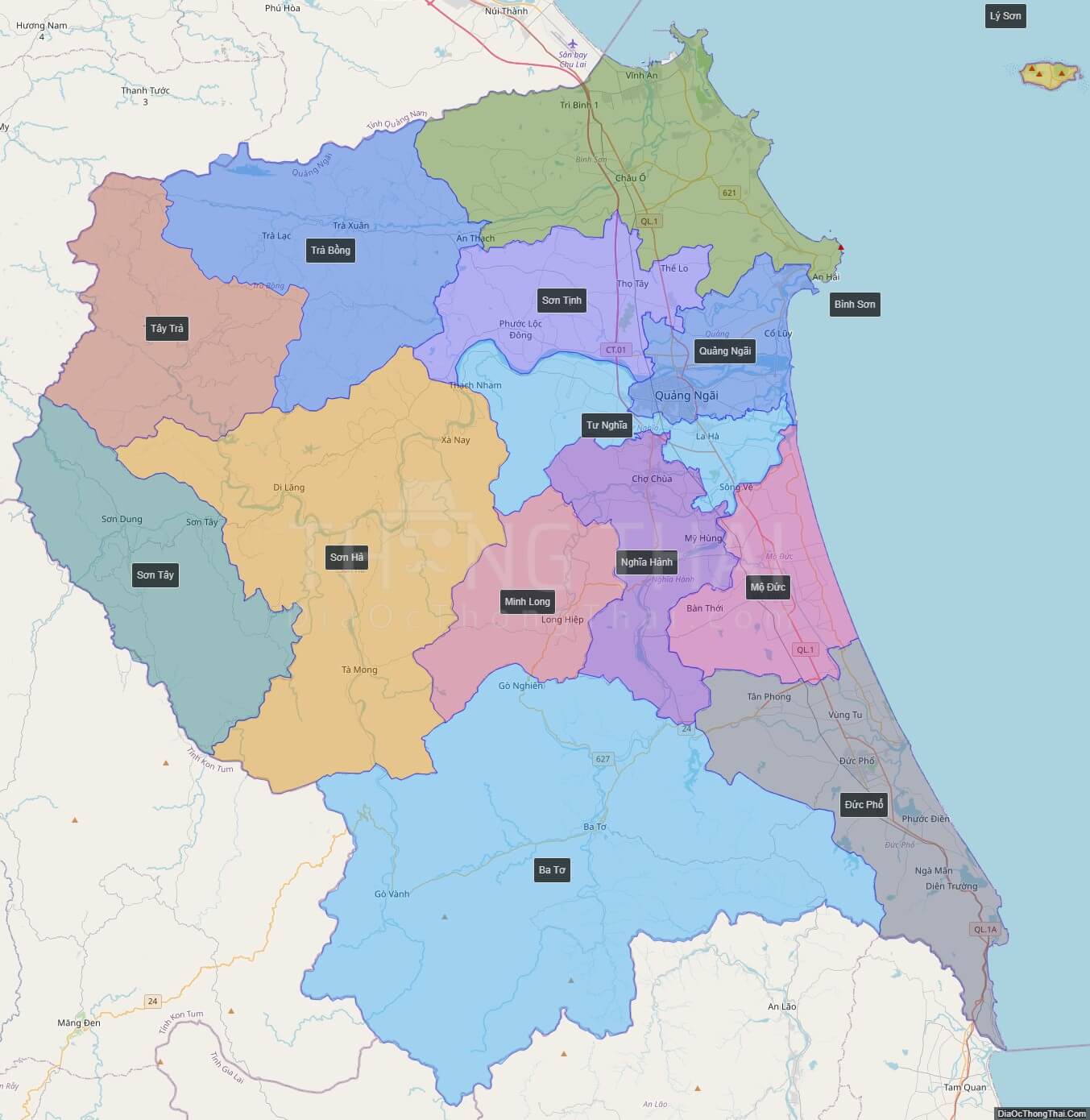
Political Map of Quang Ngai province
Click on ![]() to view map in "full screen" mode.
to view map in "full screen" mode.
Base Map Layer: Open Street Map (OSM), Arcgisonline, Google Map, Wmflabs.
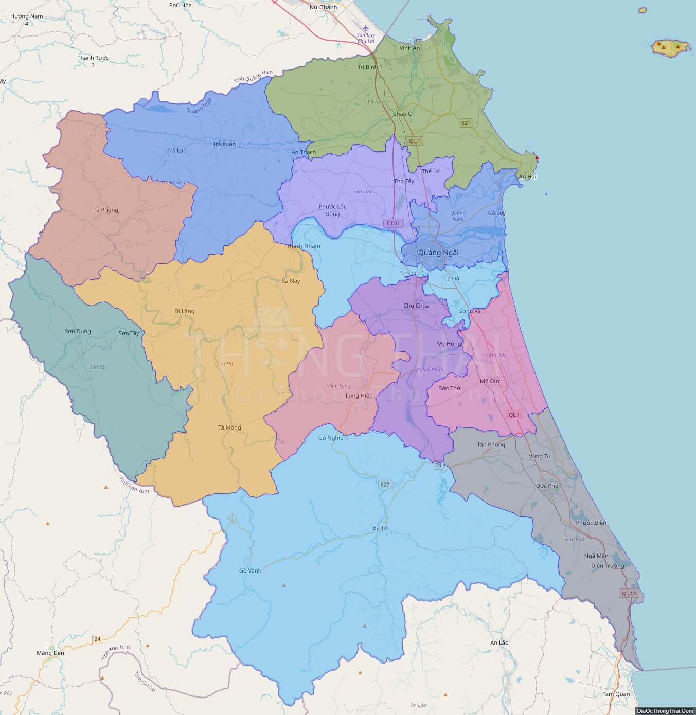
Large scale maps of Quang Ngai province
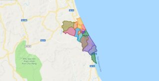
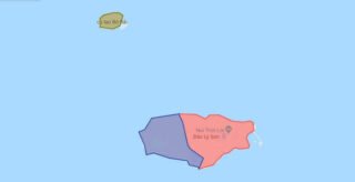
Quang Ngai province location map
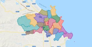
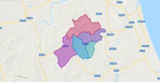
Quang Ngai street map
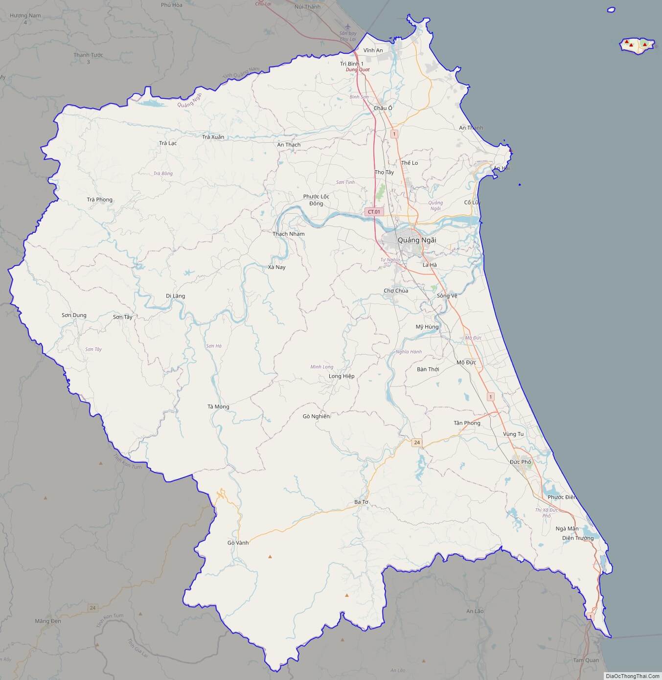
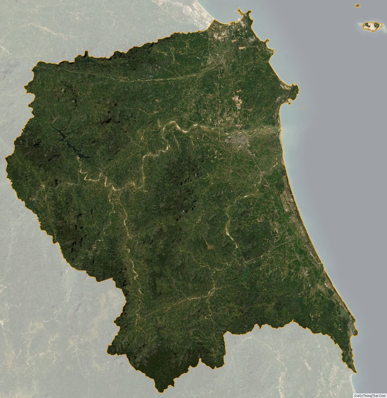
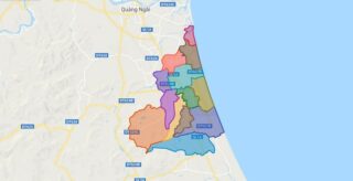
Quang Ngai satellite map