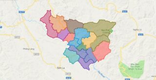
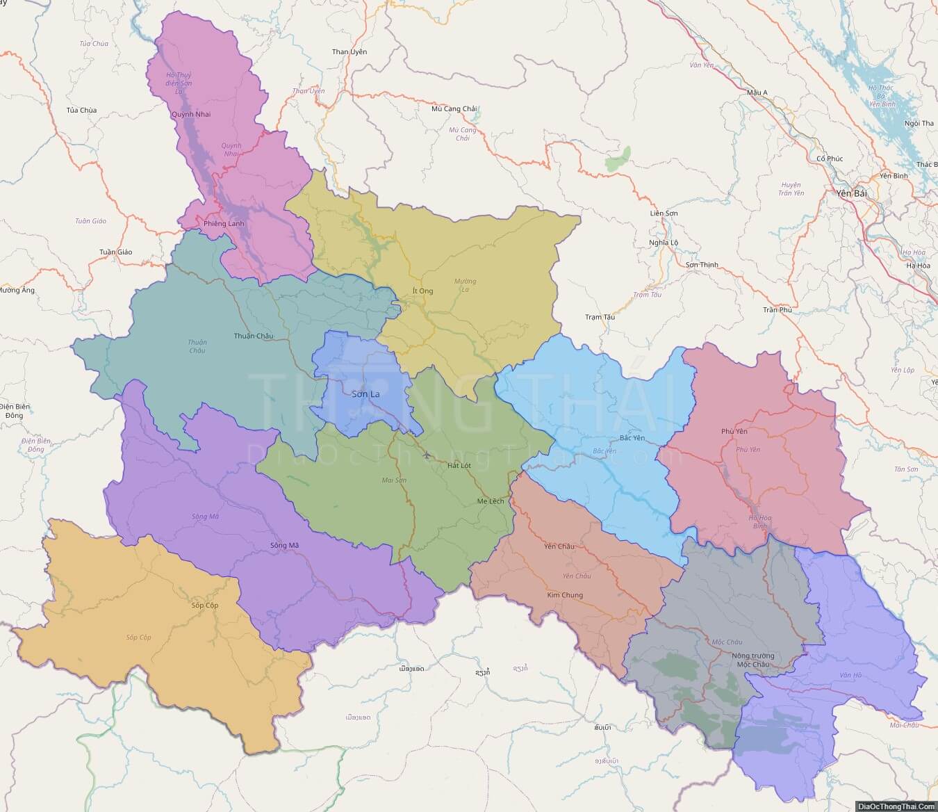
Son La is a province in the Northwest region of Vietnam. It borders Laos to the south. The population includes Black and White Tai ethnic group. Son La Dam, the largest hydroelectric power station in Southeast Asia. is located in this province.
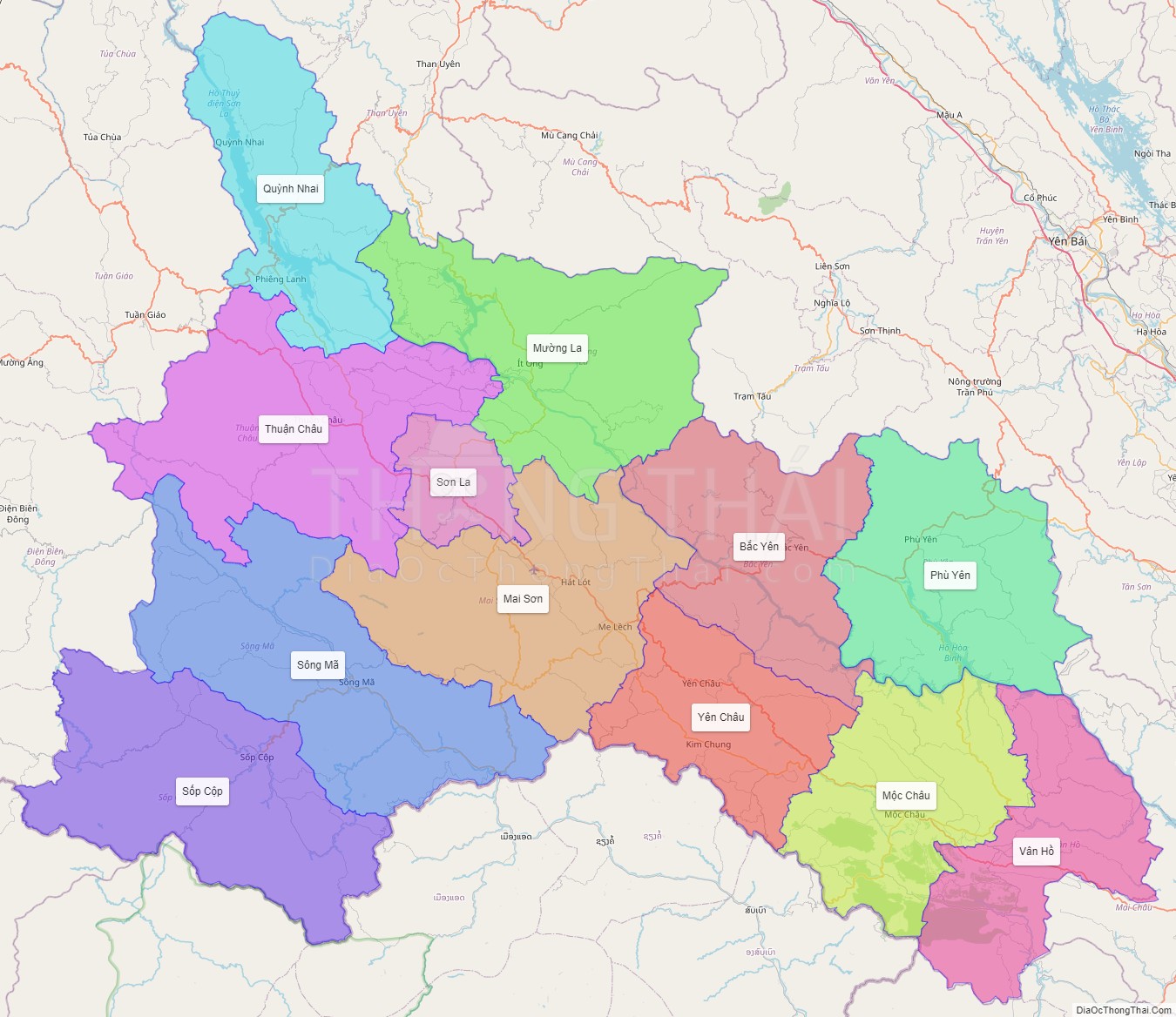
Son La is subdivided into 12 district-level sub-divisions:
They are further subdivided into nine commune-level towns (or townlets), 188 communes, and seven wards.
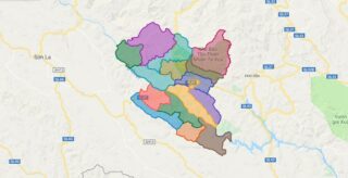
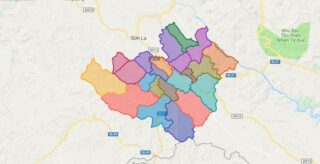
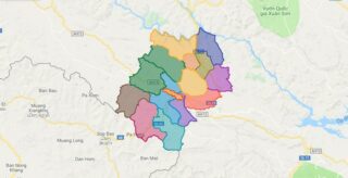
Political Map of Son La province
Click on ![]() to view map in "full screen" mode.
to view map in "full screen" mode.
Base Map Layer: Open Street Map (OSM), Arcgisonline, Google Map, Wmflabs.
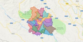
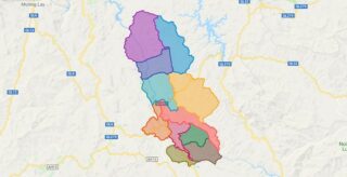
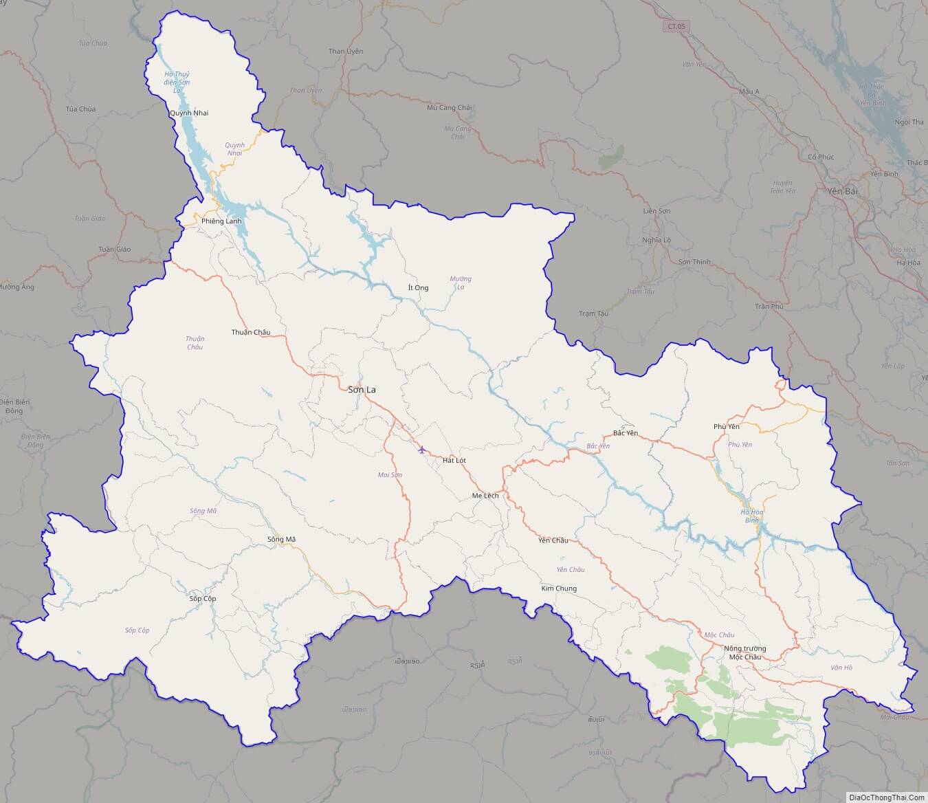
Large scale maps of Son La province

Son La province location map

Son La street map
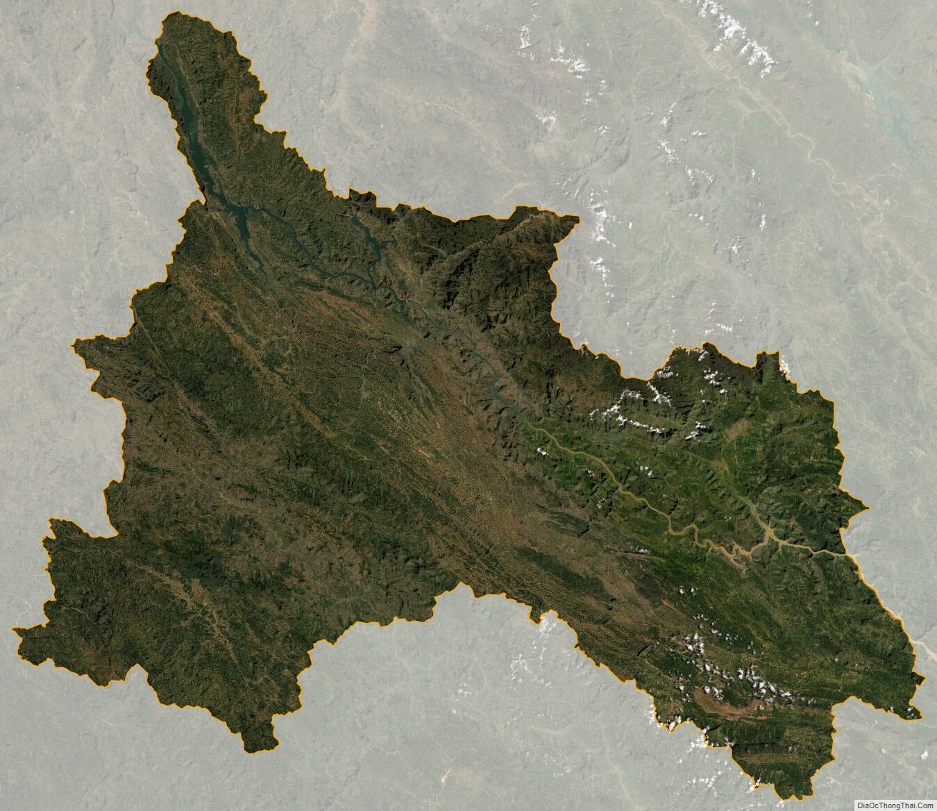
Son La satellite map