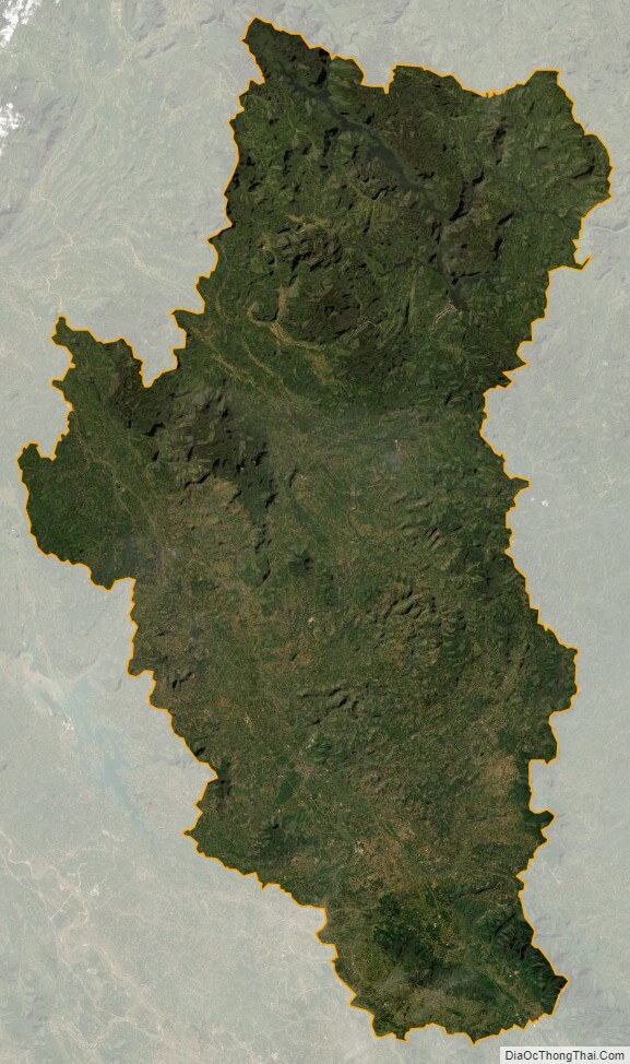
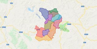
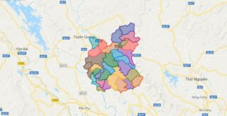
Tuyen Quang is a province of Vietnam, located in the northeastern part of the country to the northwest of Hanoi, at the centre of Lo River valley, a tributary of the Red River. The delta formation in the province is called the Tonkin Delta. Its capital is Tuyen Quang township. The province had a population of 746,900 in 2008, with a density of 127 persons per sqkm over a total land area of .
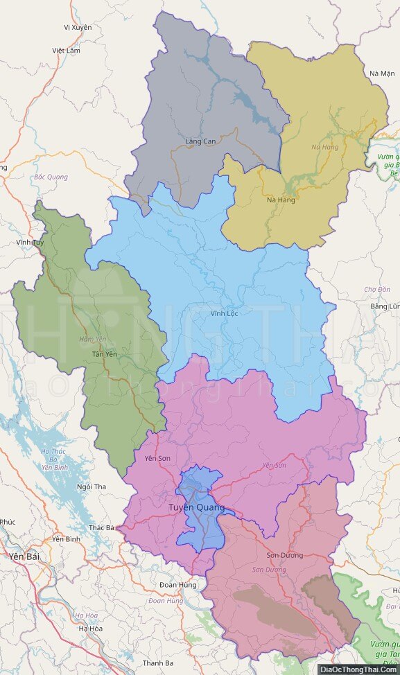
Tuyen Quang borders Ha Giang to the north, Cao Bang to the northeast, Bac Kan and Thai Nguyen to the east, Vinh Phuc to the south, Phu Tho to the southwest, and Yen Bai to the west.
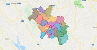
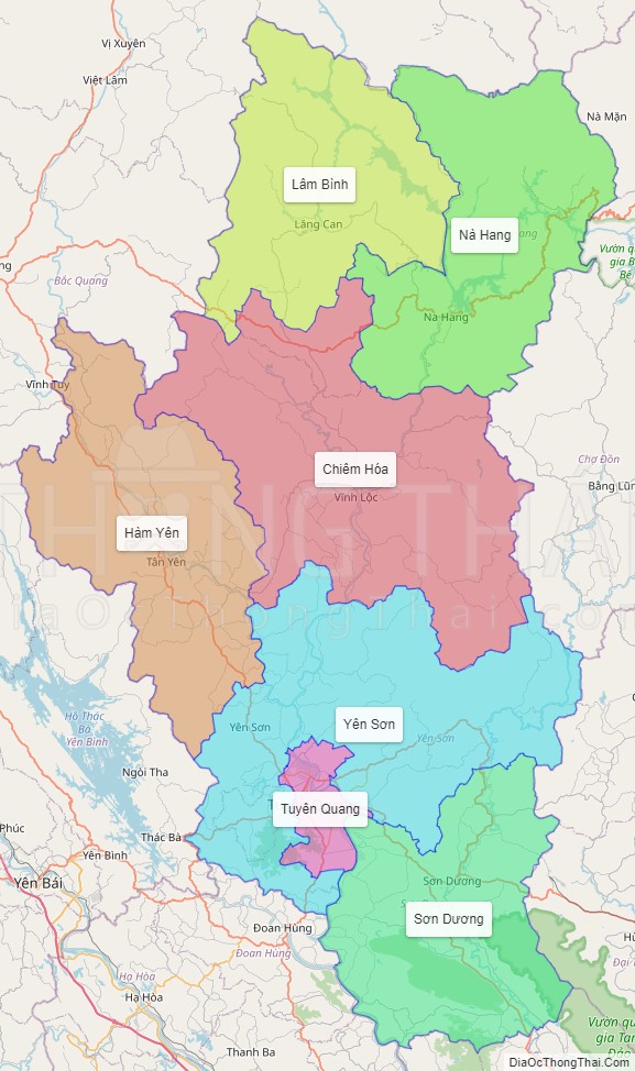
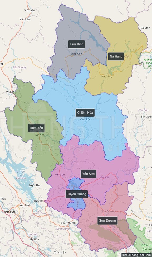
Political Map of Tuyen Quang province
Click on ![]() to view map in "full screen" mode.
to view map in "full screen" mode.
Base Map Layer: Open Street Map (OSM), Arcgisonline, Google Map, Wmflabs.
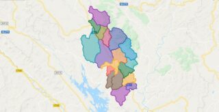
Large scale maps of Tuyen Quang province
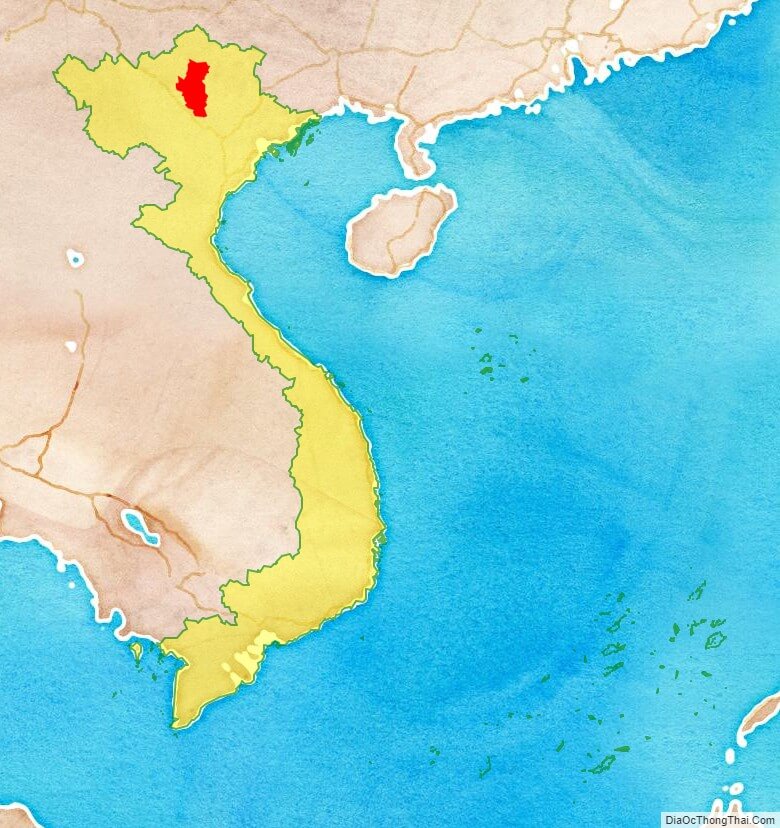
Tuyen Quang province location map
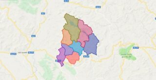
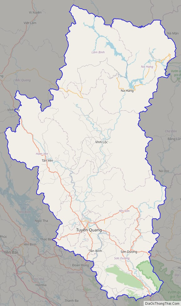
Tuyen Quang street map
Tuyen Quang satellite map