Vinh Long is a province located in the Mekong Delta of southern Vietnam. Its capital is Vinh Long. Its population is 1,023,400 and its area is 1,475 km².
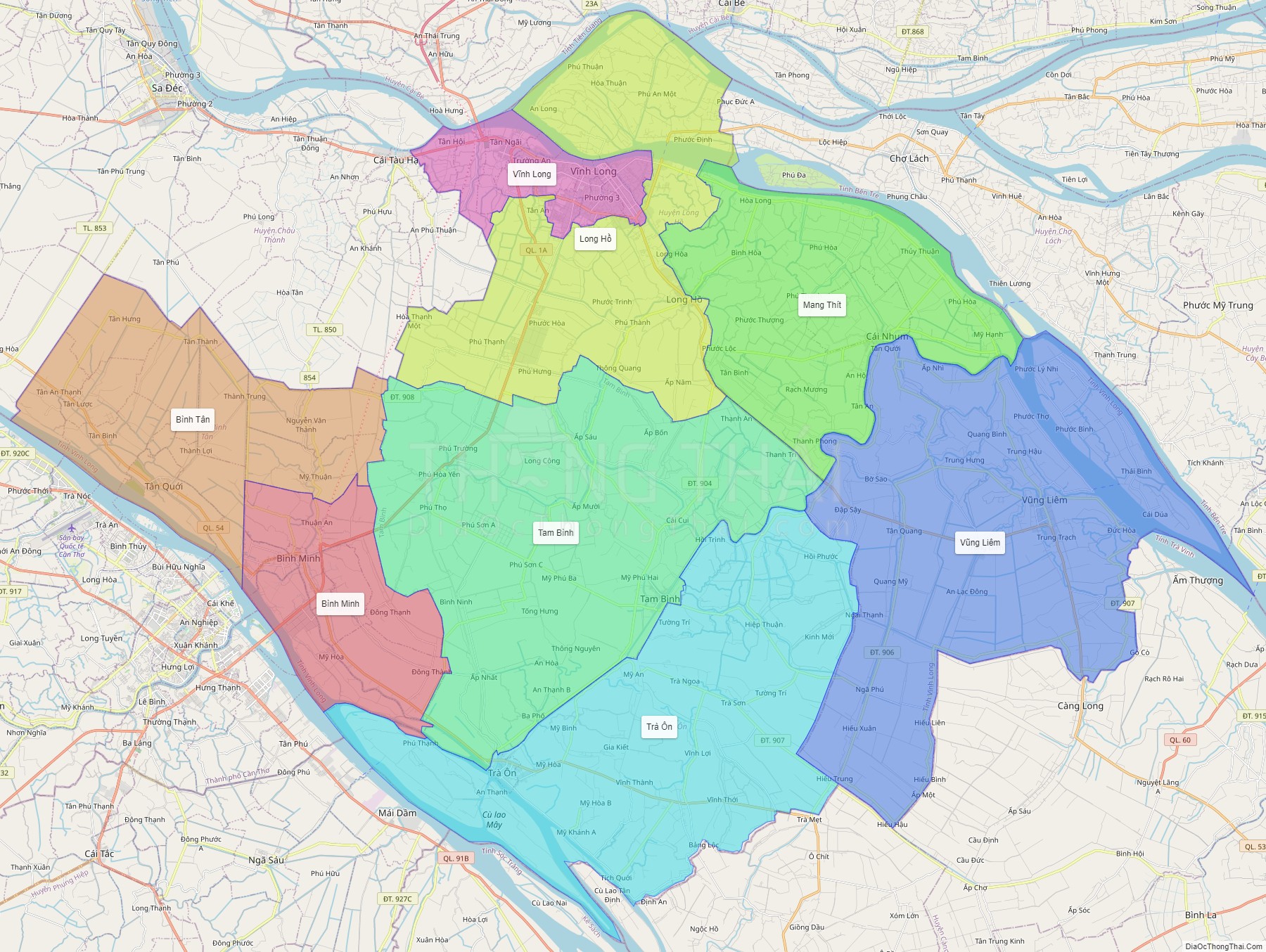
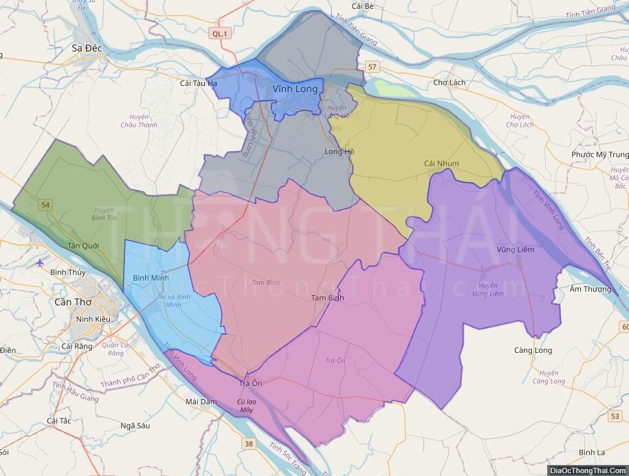
Political Map of Vinh Long province
Click on ![]() to view map in "full screen" mode.
to view map in "full screen" mode.
Base Map Layer: Open Street Map (OSM), Arcgisonline, Google Map, Wmflabs.
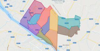
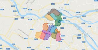
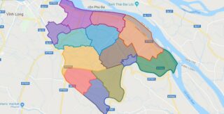
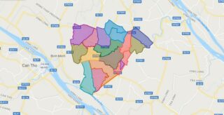
Large scale maps of Vinh Long province

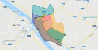
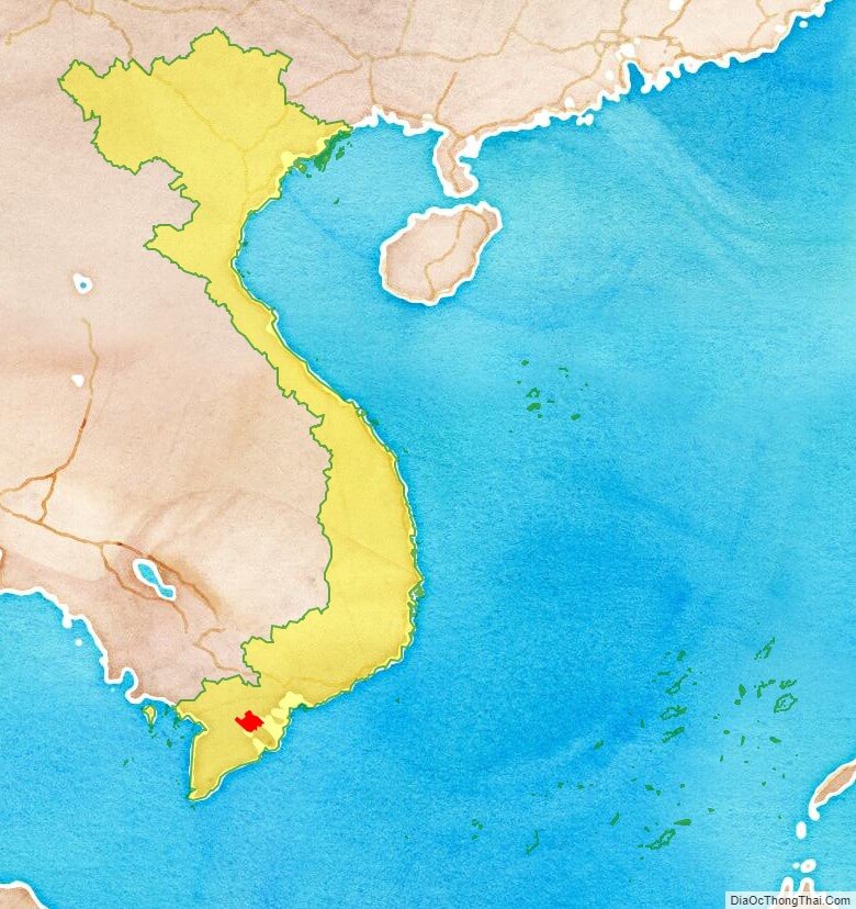
Vinh Long province location map
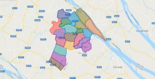
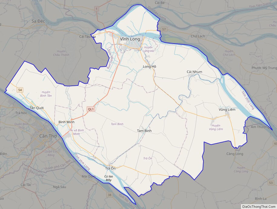
Vinh Long street map
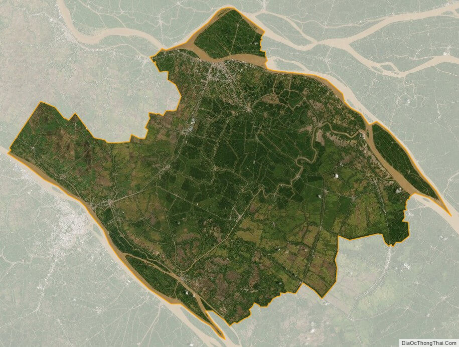
Vinh Long satellite map