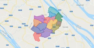
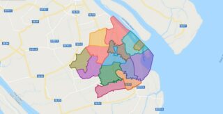
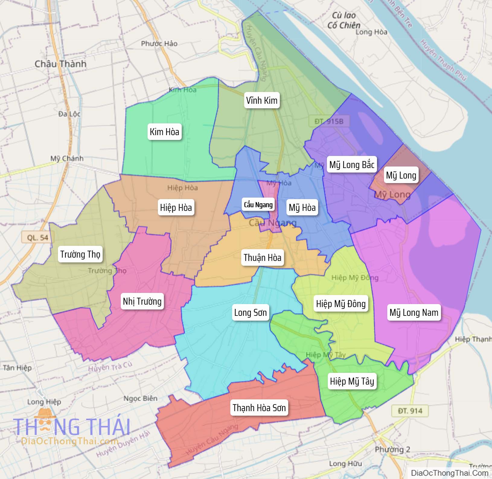
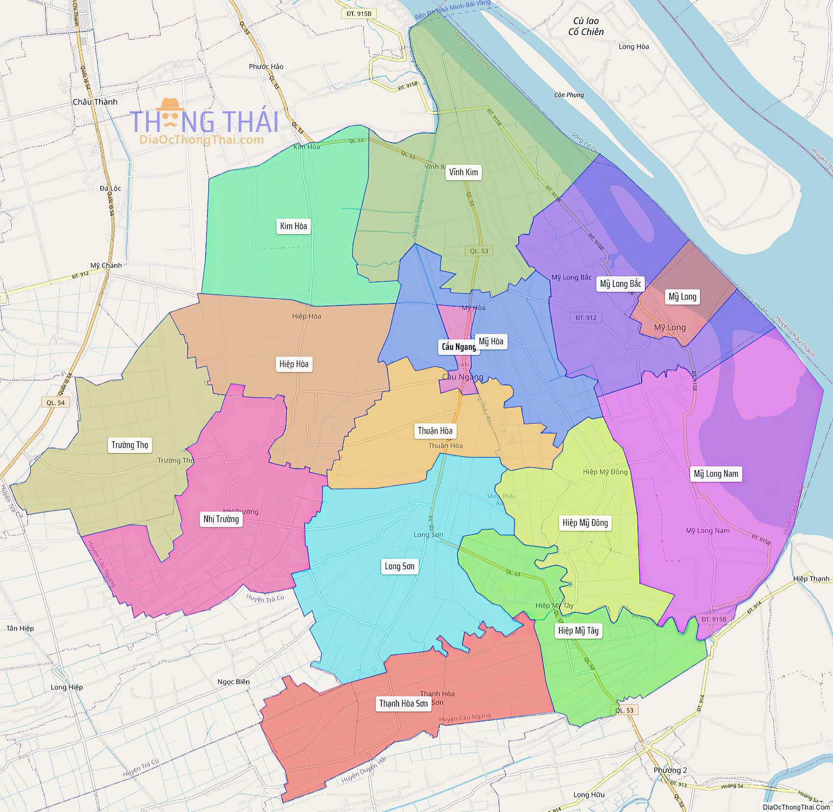
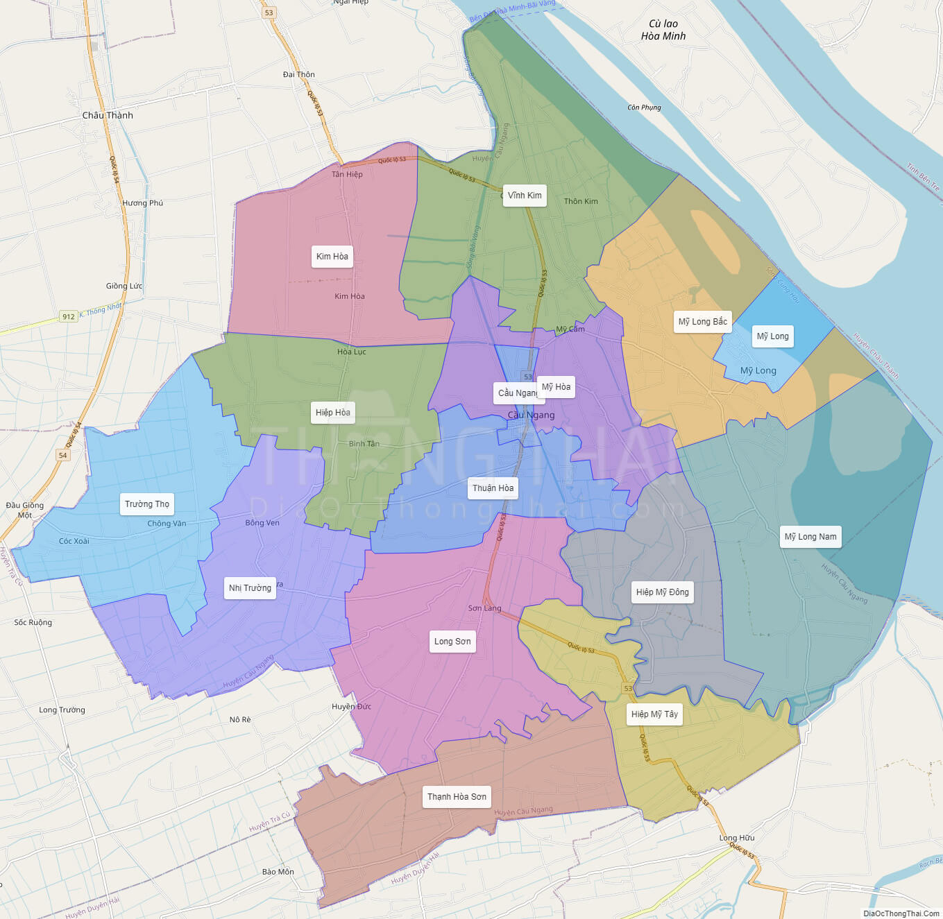
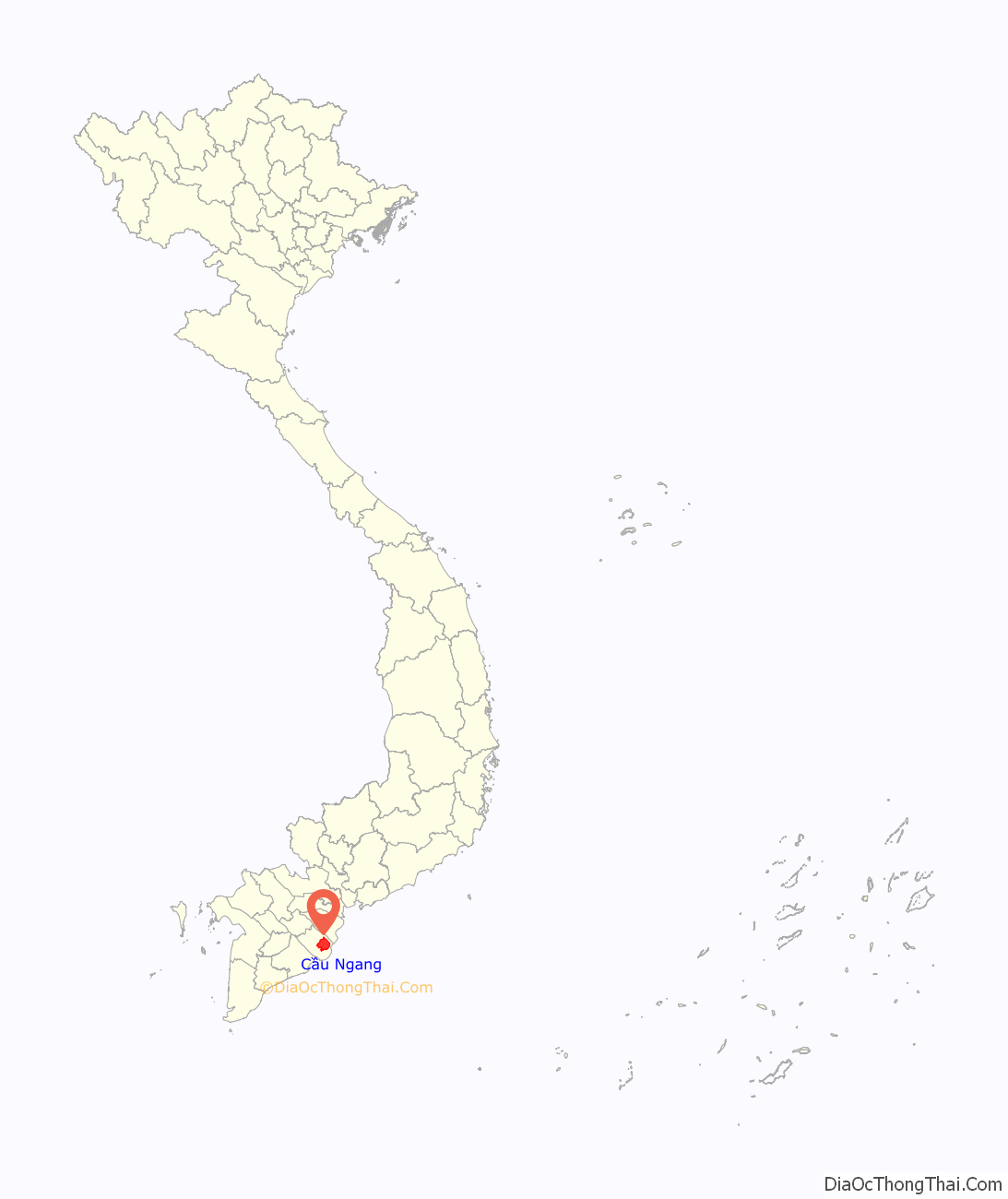
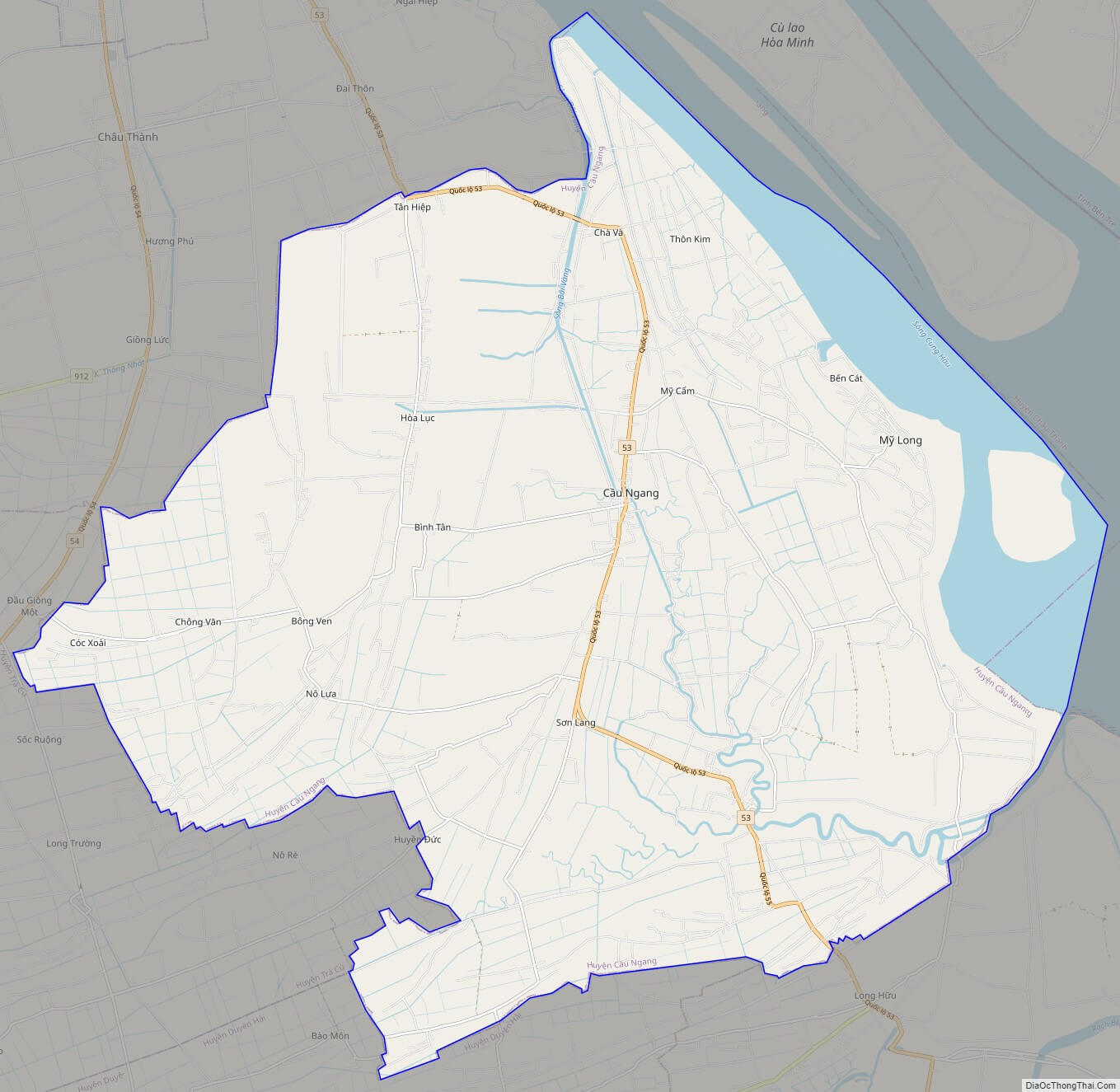
Political Map of Cau Ngang district – Tra Vinh
Click on ![]() to view map in "full screen" mode.
to view map in "full screen" mode.
Base Map Layer: Open Street Map (OSM), Arcgisonline, Google Map, Wmflabs.
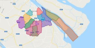
Large scale maps of Cau Ngang District
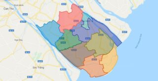
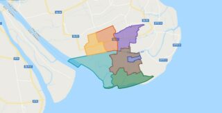
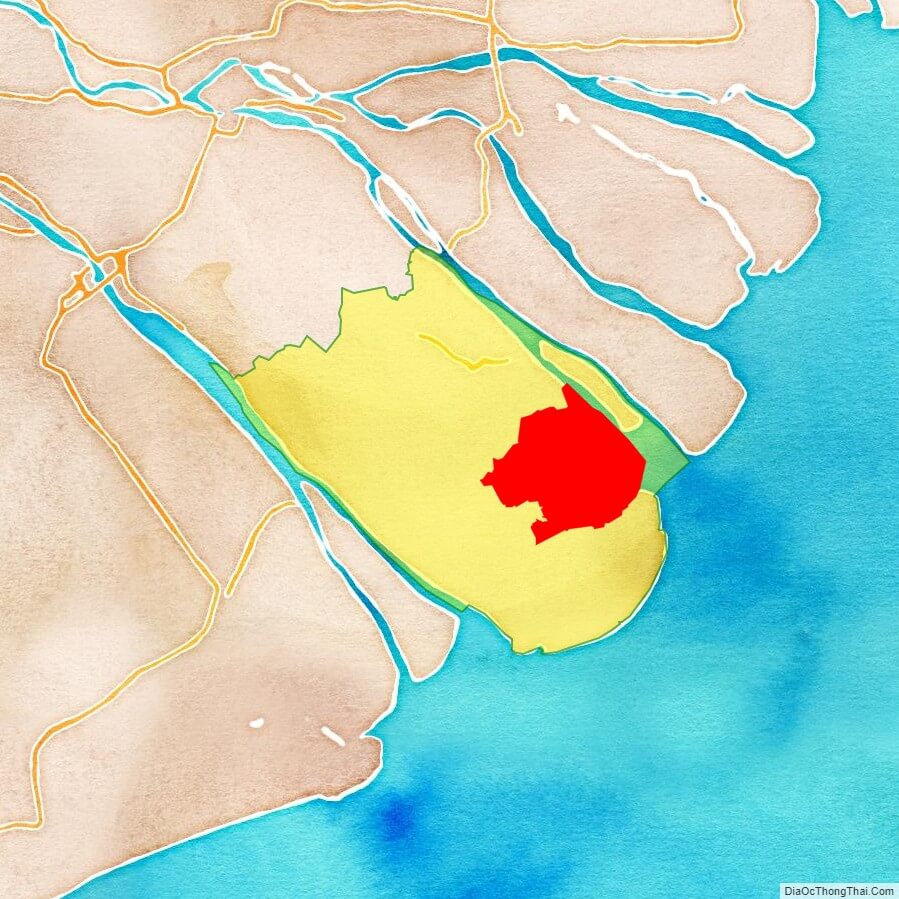
Cau Ngang location map
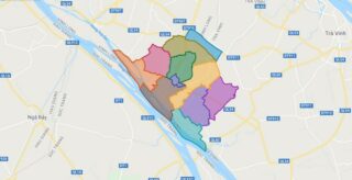
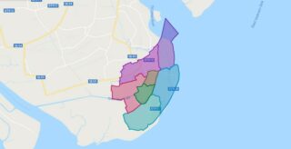
Cau Ngang street map
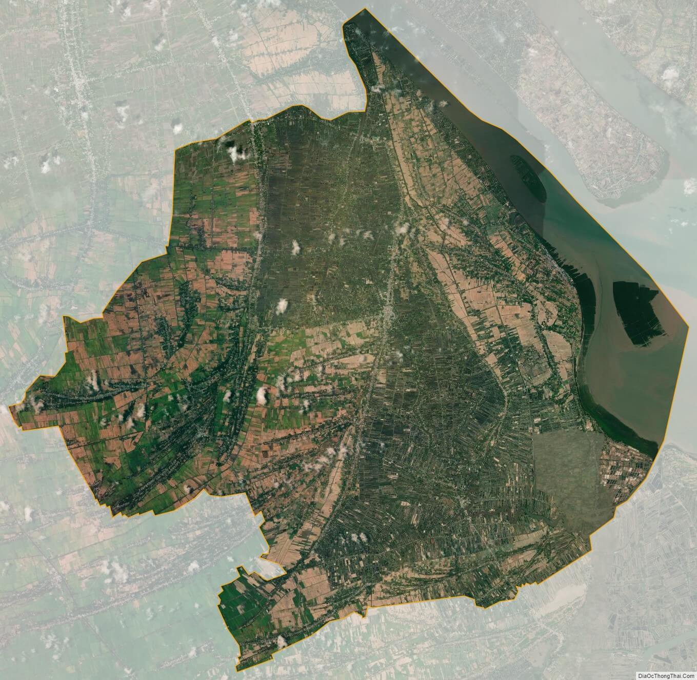
Cau Ngang satellite map