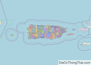
Explore comprehensive maps and geographic information for Carolina Municipio, Puerto Rico. This page provides detailed cartographic resources including administrative boundaries, political divisions, street maps, satellite imagery, topographic details, and outline maps to help you understand the geographic layout and administrative structure of Carolina Municipio.
| Founded: | January 31, 1857 |
|---|---|
| Founded by: | Santiago Veve y Vidal |
| Area: | 60.34 sq mi (156.29 km) |
| Population: | 154,815 |
| Population Rank: | 3rdin Puerto Rico |
| Density: | 2,600/sq mi (990/km) |
| Demonym: | Carolinense (neutral) |
| Website: | www.municipiocarolina.com |
Carolina Municipio Administrative Map Online
Click on ![]() to view map in "full screen" mode.
to view map in "full screen" mode.
High-Quality Maps of Carolina Municipio, Puerto Rico
Below are high-quality maps of Carolina Municipio, Puerto Rico compiled by Geographic Intelligence and shared freely with the community. You can download the file that best suits your needs.


